Elevation of S Pine Dr, Aulander, NC, USA
Location: United States > North Carolina > Bertie County >
Longitude: -77.105649
Latitude: 36.233981
Elevation: 21m / 69feet
Barometric Pressure: 101KPa
Elevation Map:
Satellite Map:
Related Photos:
IMG_3283
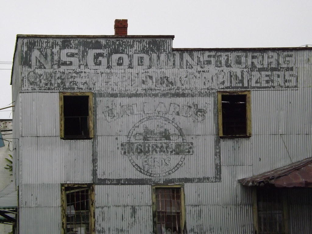
Ghost sign abandoned building
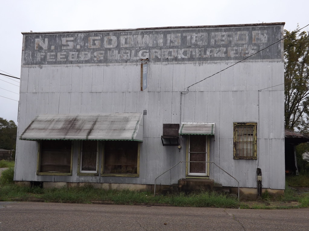
Ghost sign abandoned building
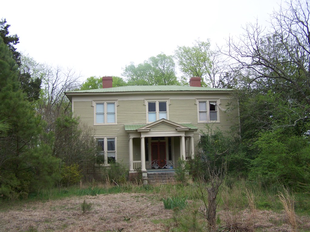
Averitte-Pugh House
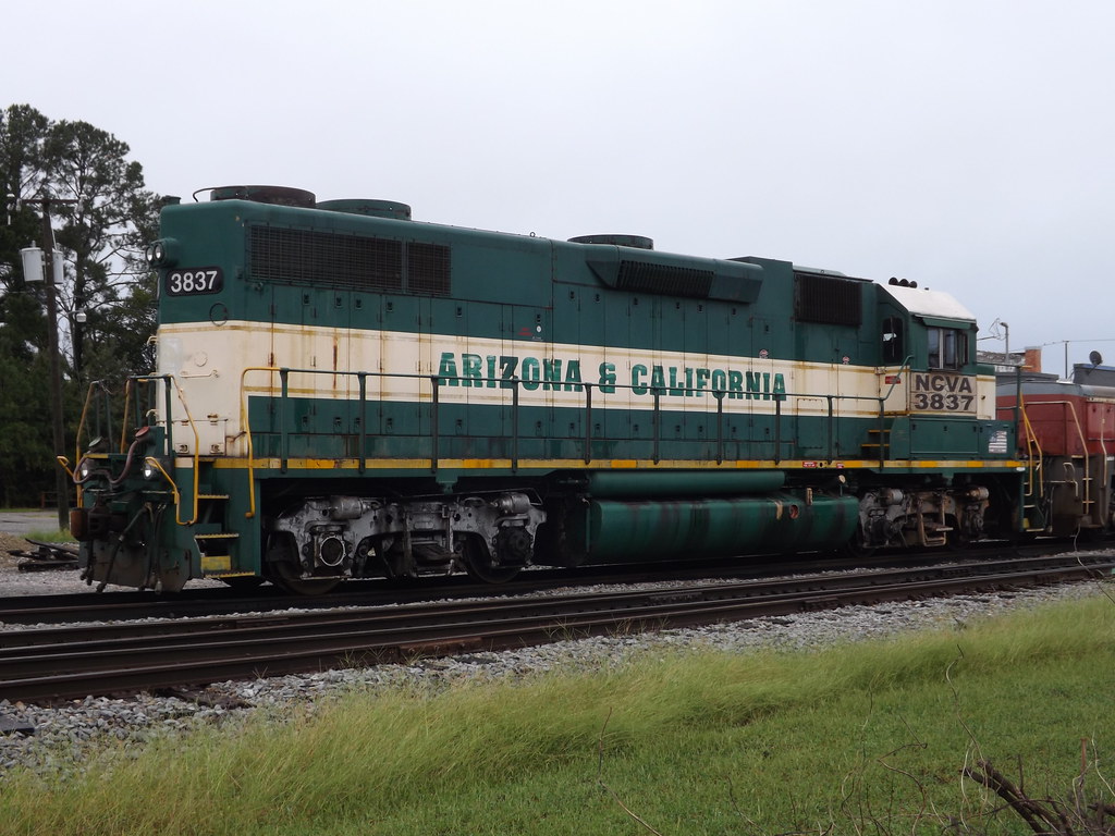
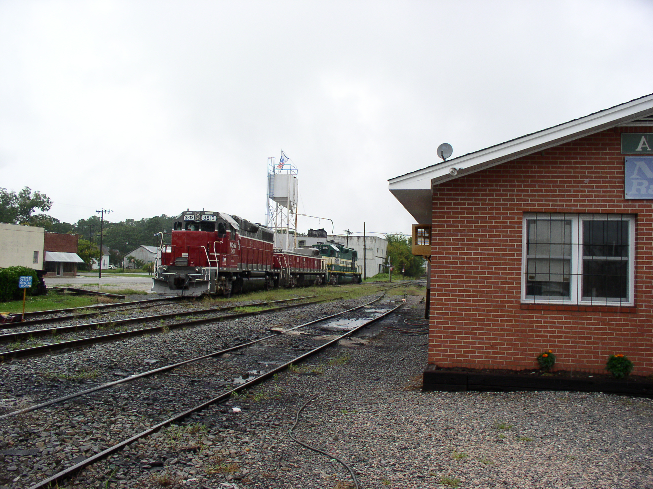
NCVA 3837
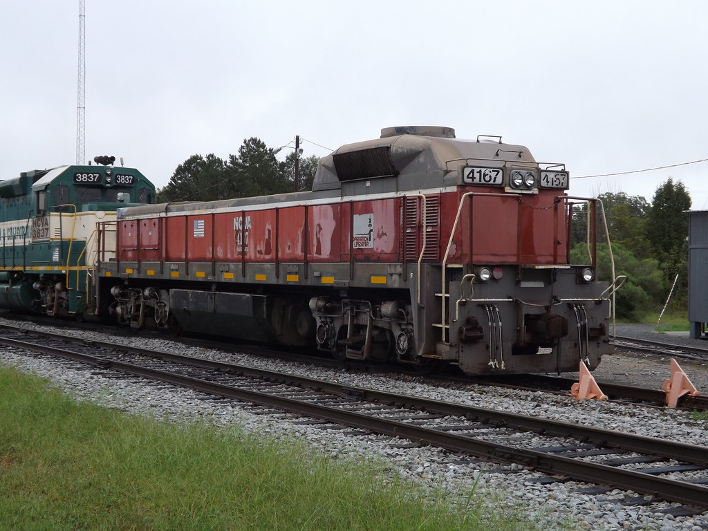
NCVA #4167 Mate
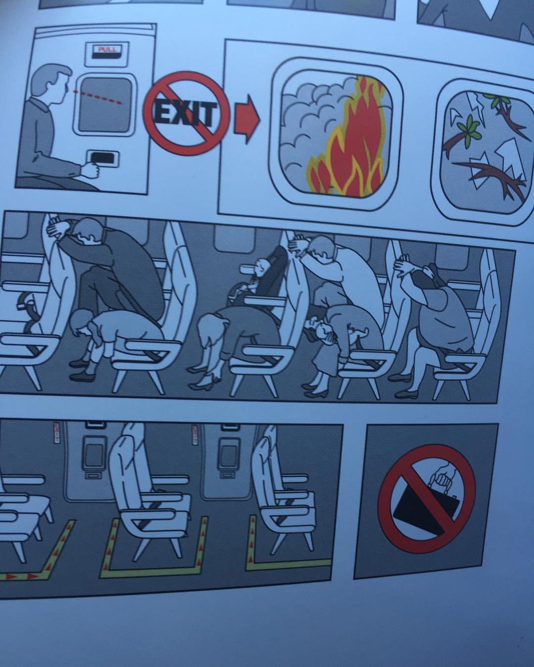
Glad to see American Airlines see that not all body types can get that head-on-the-knees position.
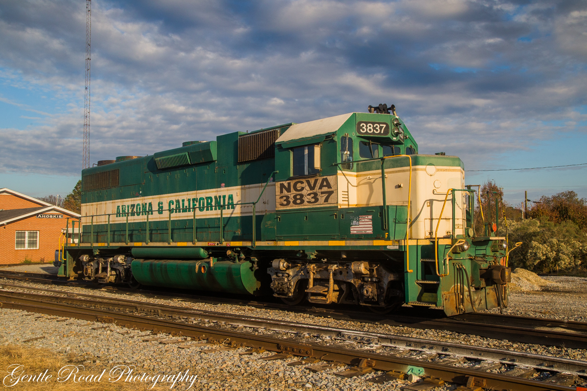
Arizona and er.....North Carolina?

NCVA #3837 GP38-3

Cruel Bonds

Dan with Kent Williams

Dan with Kent Williams, a hot pepper farmer in Bertie County. He supplies 1/4 of the peppers used by Texas Pete nationwide.

Dan touring the A.T Byrum Peanut Farm Operation in Bertie County

Dan touring the A.T Byrum Peanut Farm Operation in Bertie County

Dan meeting with Bertie County buisness owners

Tomahawk Motel, Ahoskie, NC
@ Ahoskie, NC Aug 2004
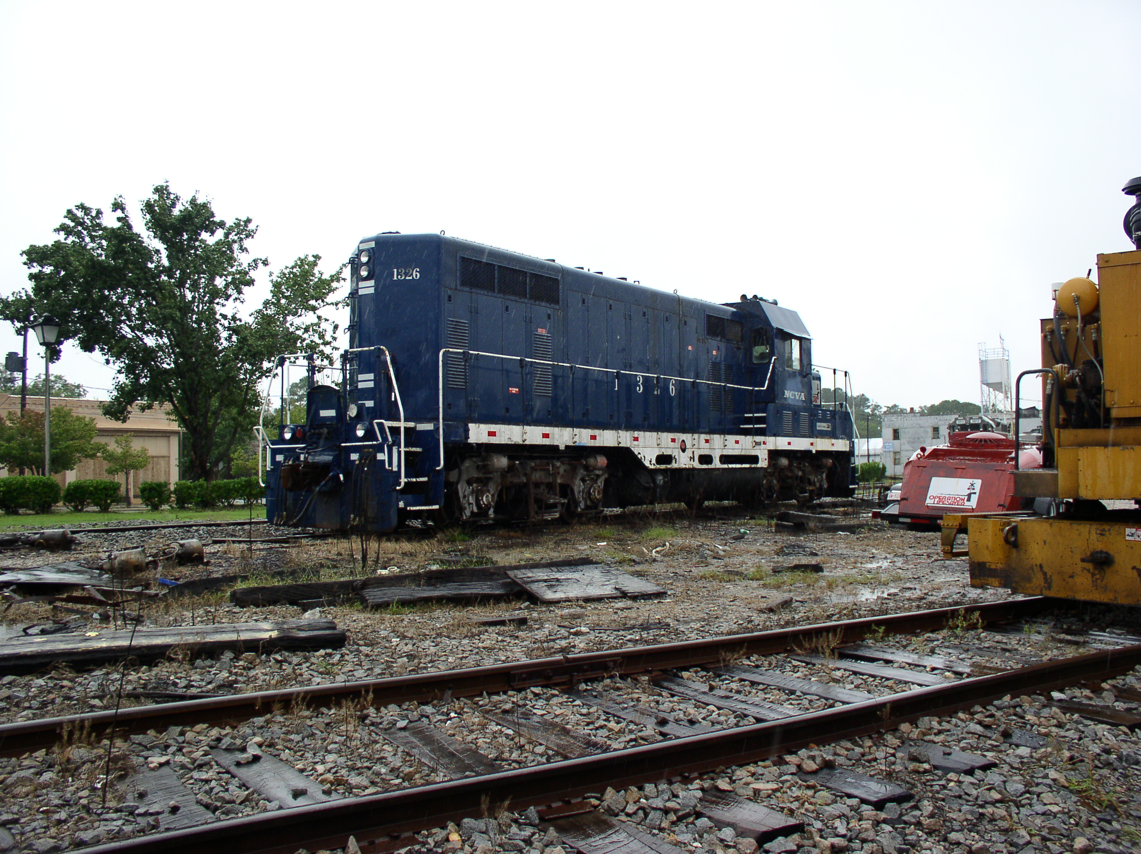
1326 @ Ahoskie, NC Aug 2004
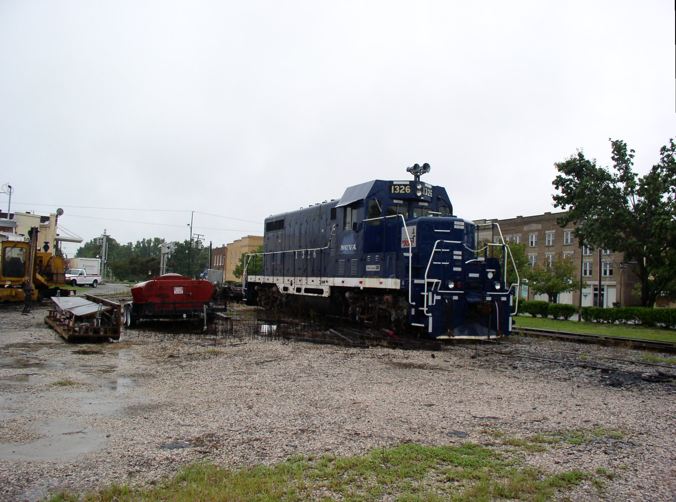
1326 @ Ahoskie, NC Aug 2004 2
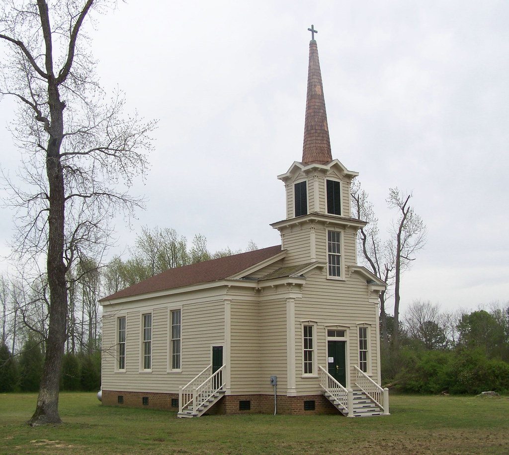
Bertie County Church
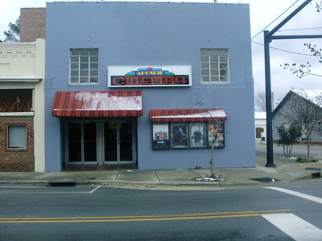
Ahoskie Cinema 4
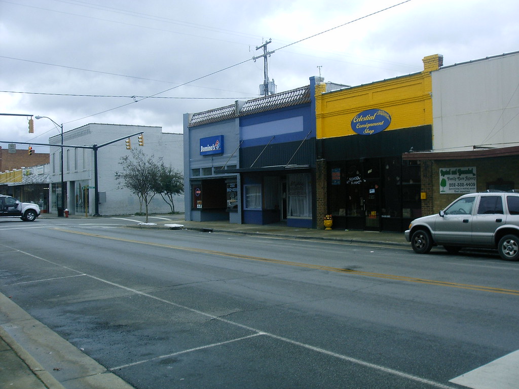
Various Shops 1
Topographic Map of S Pine Dr, Aulander, NC, USA
Find elevation by address:

Places near S Pine Dr, Aulander, NC, USA:
Aulander
W Main St, Aulander, NC, USA
Bruce Farmer Rd, Aulander, NC, USA
Early Station Rd, Ahoskie, NC, USA
St. Johns
508 Curtis St
620 Church St W
1010 Nc-305
NC-, Woodland, NC, USA
Liverman Road
Lewiston Woodville
Tomahawk Motel
Ahoskie
3539 Governors Rd
Hertford County
Kingdom Hall-jehovah's
Snakebite
Brinkleyville Rd, Ahoskie, NC, USA
108 Cherry Farm Ln
Murfreesboro
Recent Searches:
- Elevation of Corso Fratelli Cairoli, 35, Macerata MC, Italy
- Elevation of Tallevast Rd, Sarasota, FL, USA
- Elevation of 4th St E, Sonoma, CA, USA
- Elevation of Black Hollow Rd, Pennsdale, PA, USA
- Elevation of Oakland Ave, Williamsport, PA, USA
- Elevation of Pedrógão Grande, Portugal
- Elevation of Klee Dr, Martinsburg, WV, USA
- Elevation of Via Roma, Pieranica CR, Italy
- Elevation of Tavkvetili Mountain, Georgia
- Elevation of Hartfords Bluff Cir, Mt Pleasant, SC, USA