Elevation of NC-45, Plymouth, NC, USA
| Latitude | 35.91206 |
|---|---|
| Longitude | -76.7198676 |
| Elevation | 1m / 3feet |
| Barometric Pressure | 1013KPa |
Related Photos:

Monotone Isolation

Rifled Cannon HDR

North Carolina, Plymouth, Roanoke River Lighthouse (Replica) (2,107b)

North Carolina, Plymouth, Roanoke River Lighthouse (Replica) (2,107)

View of the Roanoke River
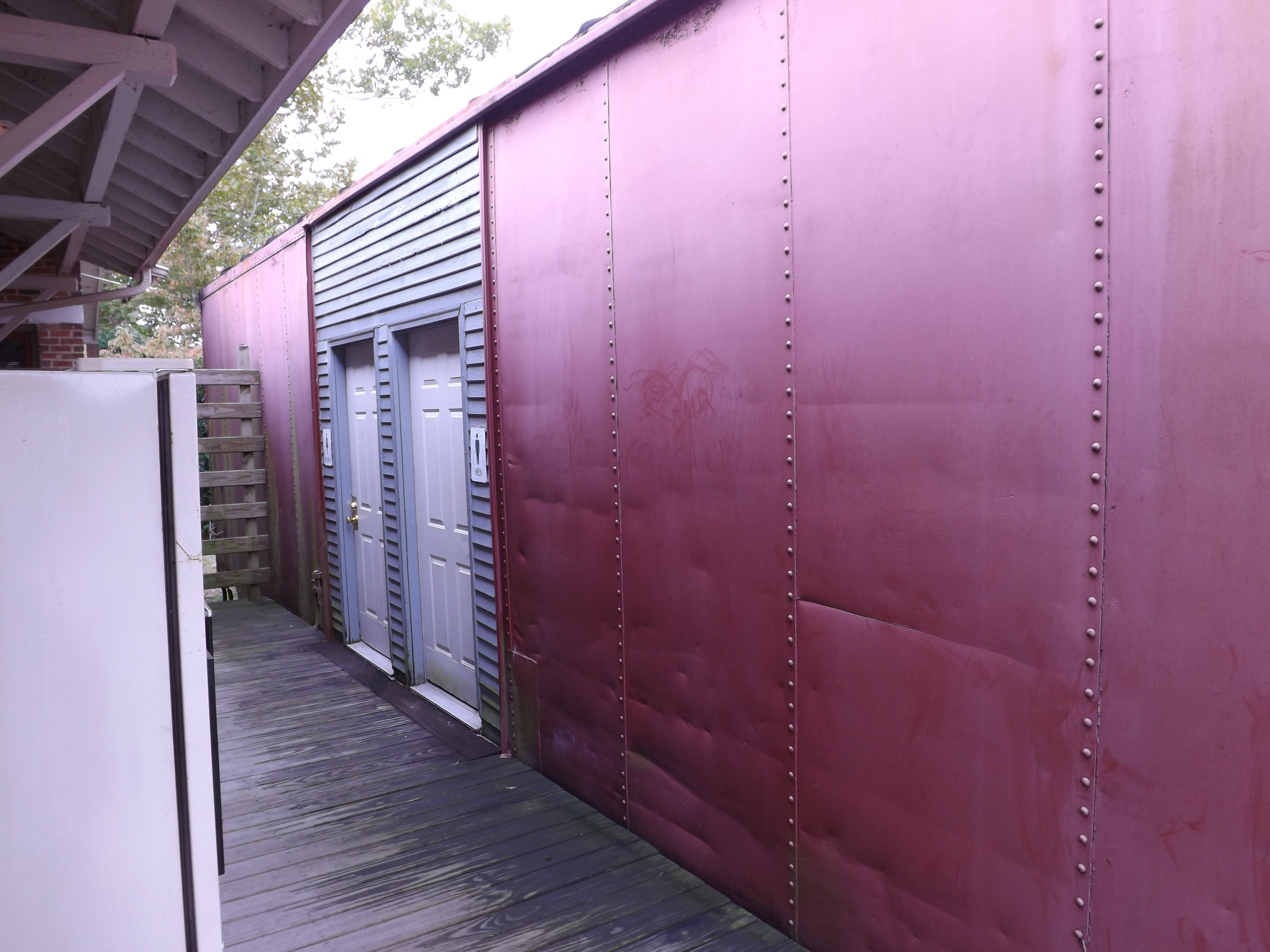
Boxcar Restrooms

Conductor enjoying the view
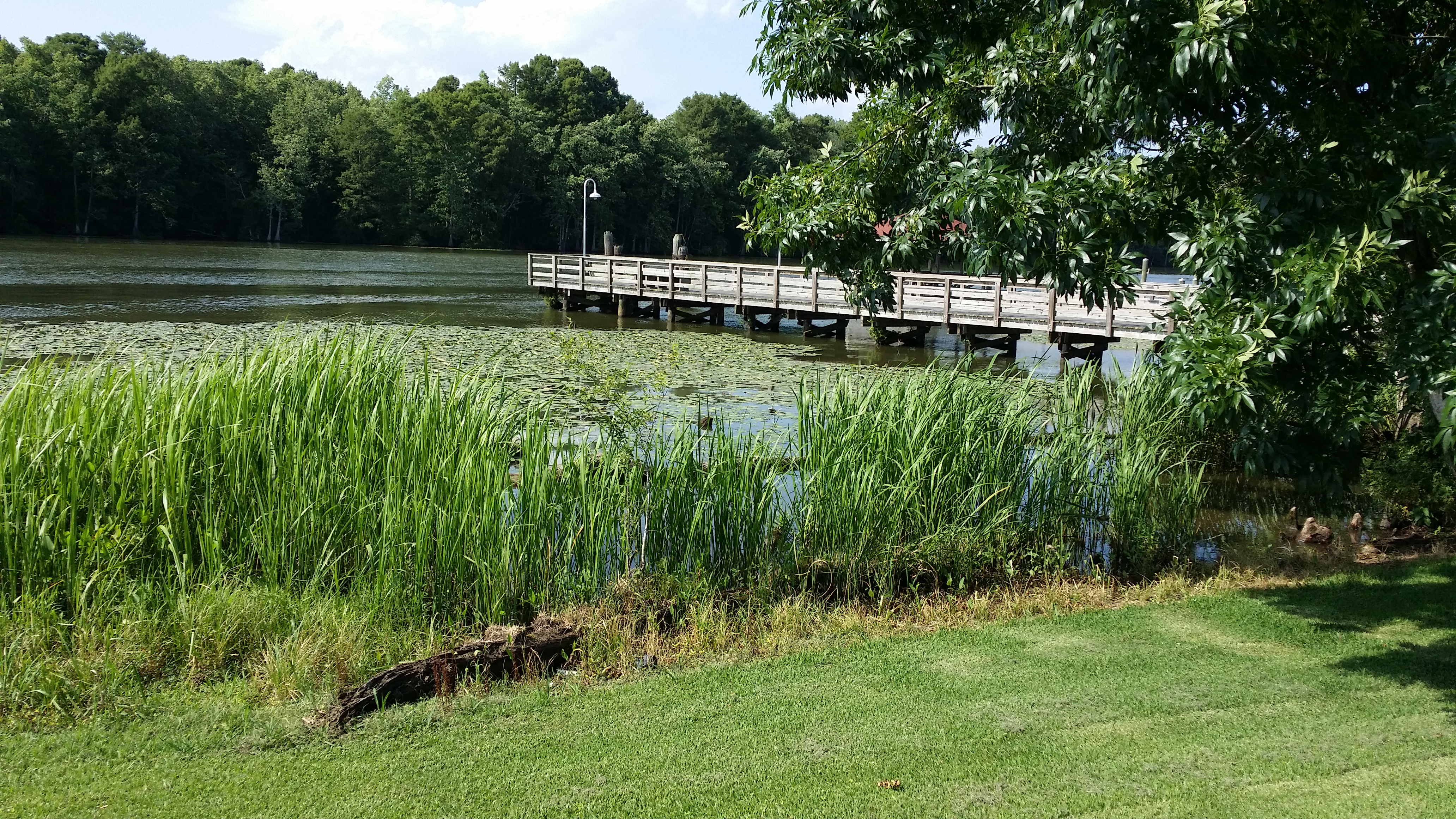
View of the Roanoke River
View of the Roanoke River

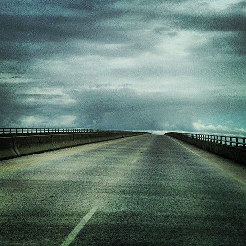
U.S. 64 Near Plymouth, North Carolina

U.S. 64 Near Plymouth, North Carolina
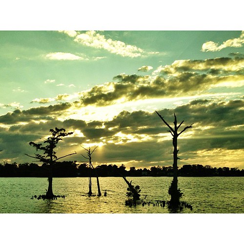
Carolina water #water #carolina #sky #sun #AEparker
Path to the clouds #roadtrip #instalove
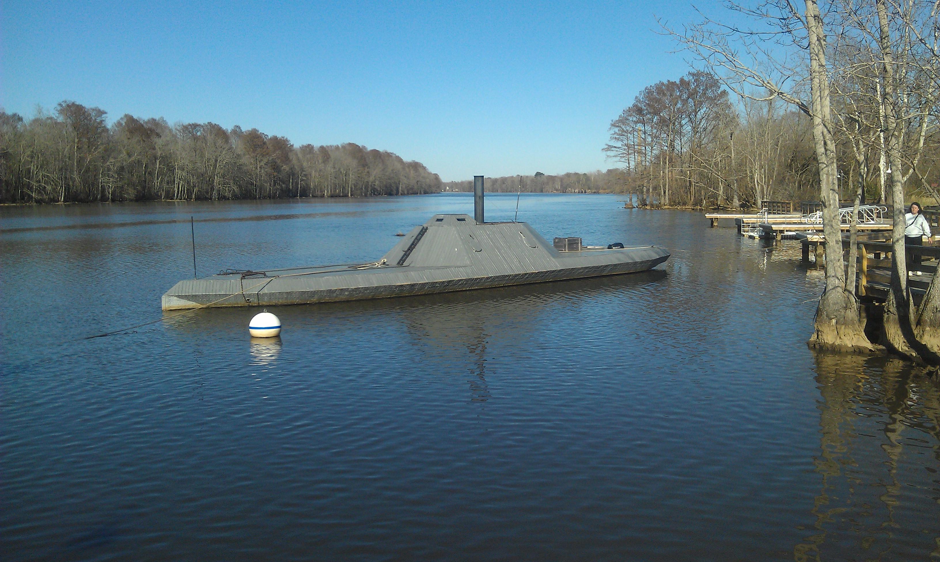
CSS ALBEMARLE replica- Plymouth NC (3)

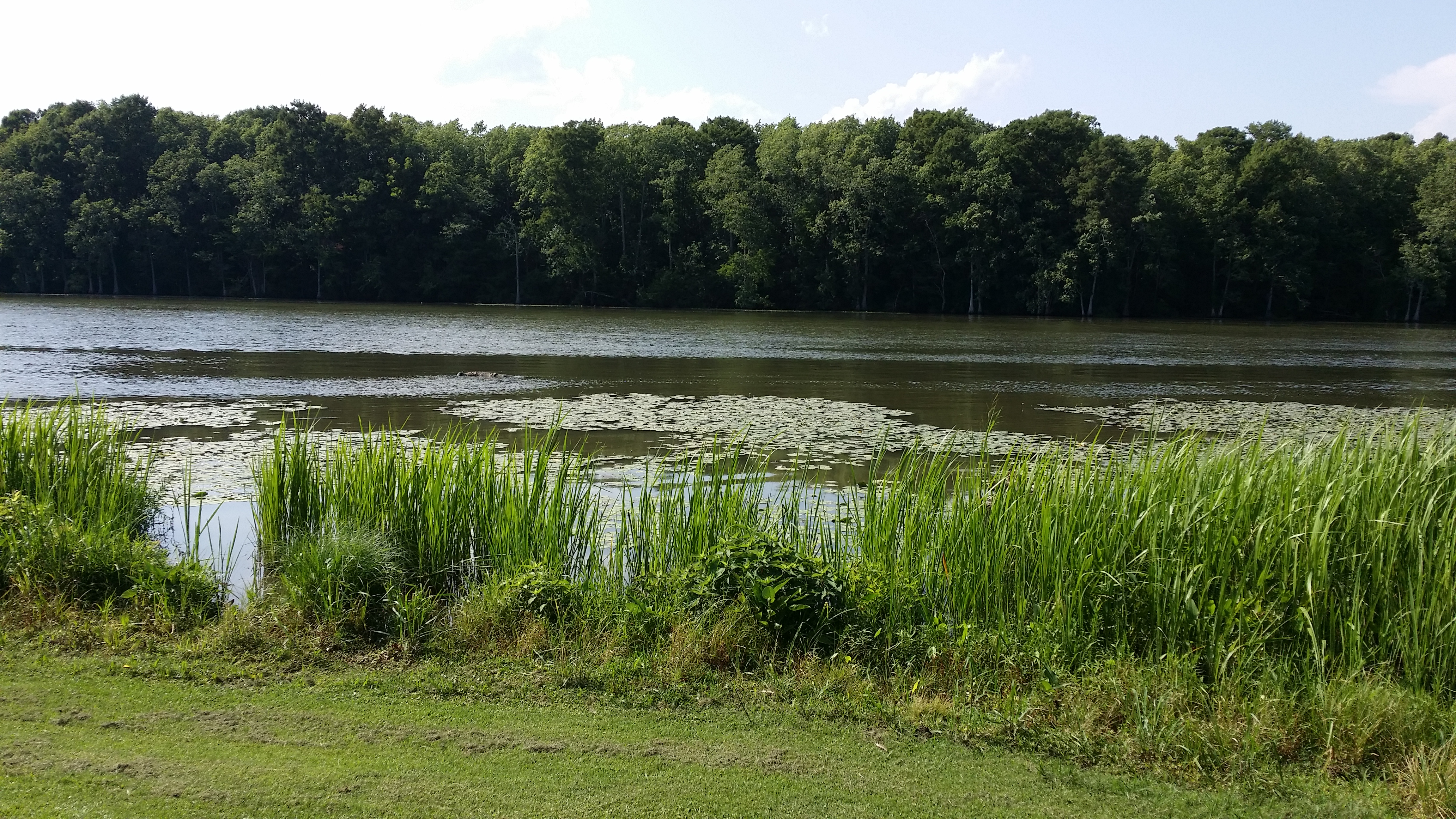
The River

looking down the Roanoke river from lighthouse
Topographic Map of NC-45, Plymouth, NC, USA
Find elevation by address:
Places near NC-45, Plymouth, NC, USA:
General Matt Ransome Drive
161 Conaby Dr
Mackeys Rd, Roper, NC, USA
81 Nc-45
206 Andrew Jackson Ave
108 Thomas St
Plymouth
124 E Water St
602 Washington St
Merry Hill
1537 Cooper Hill Rd
Salmon Creek Ln, Merry Hill, NC, USA
119 Vincent Dr
401 Avoca Farm Rd
Merry Hill
230 Blanchards Rd
2018 Us-17
2007 Us-17
Windsor
Brian Center Health & Rehabilitation/windsor
Recent Searches:
- Elevation of 104, Chancery Road, Middletown Township, Bucks County, Pennsylvania, 19047, USA
- Elevation of 1212, Cypress Lane, Dayton, Liberty County, Texas, 77535, USA
- Elevation map of Central Hungary, Hungary
- Elevation map of Pest, Central Hungary, Hungary
- Elevation of Pilisszentkereszt, Pest, Central Hungary, Hungary
- Elevation of Dharamkot Tahsil, Punjab, India
- Elevation of Bhinder Khurd, Dharamkot Tahsil, Punjab, India
- Elevation of 2881, Chabot Drive, San Bruno, San Mateo County, California, 94066, USA
- Elevation of 10370, West 107th Circle, Westminster, Jefferson County, Colorado, 80021, USA
- Elevation of 611, Roman Road, Old Ford, Bow, London, England, E3 2RW, United Kingdom
- Elevation of 116, Beartown Road, Underhill, Chittenden County, Vermont, 05489, USA
- Elevation of Window Rock, Colfax County, New Mexico, 87714, USA
- Elevation of 4807, Rosecroft Street, Kempsville Gardens, Virginia Beach, Virginia, 23464, USA
- Elevation map of Matawinie, Quebec, Canada
- Elevation of Sainte-Émélie-de-l'Énergie, Matawinie, Quebec, Canada
- Elevation of Rue du Pont, Sainte-Émélie-de-l'Énergie, Matawinie, Quebec, J0K2K0, Canada
- Elevation of 8, Rue de Bécancour, Blainville, Thérèse-De Blainville, Quebec, J7B1N2, Canada
- Elevation of Wilmot Court North, 163, University Avenue West, Northdale, Waterloo, Region of Waterloo, Ontario, N2L6B6, Canada
- Elevation map of Panamá Province, Panama
- Elevation of Balboa, Panamá Province, Panama