Elevation of Plymouth, NC, USA
Location: United States > North Carolina > Washington County >
Longitude: -76.748555
Latitude: 35.8668281
Elevation: 5m / 16feet
Barometric Pressure: 101KPa
Elevation Map:
Satellite Map:
Related Photos:

Monotone Isolation
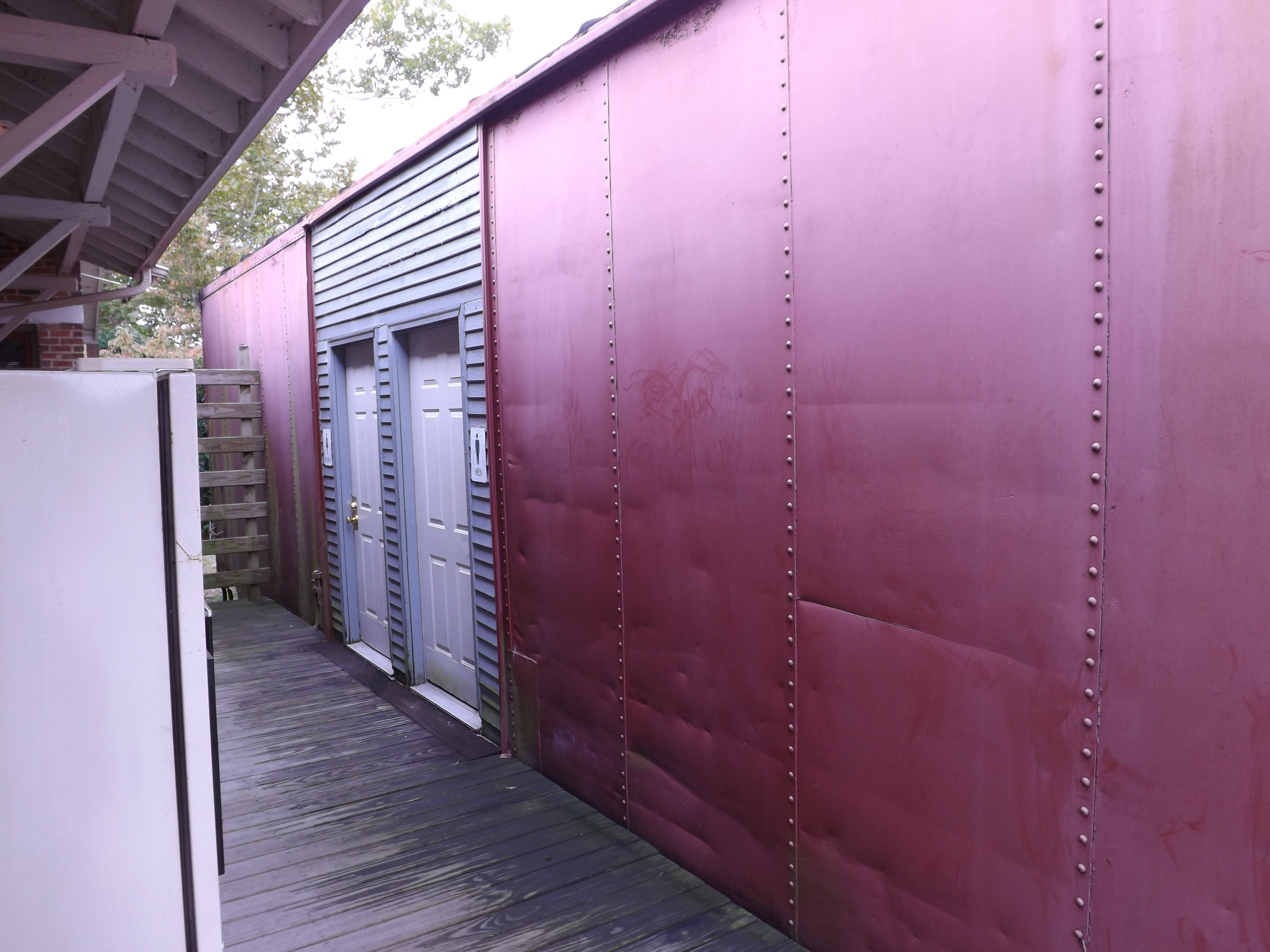
Boxcar Restrooms

Rifled Cannon HDR

North Carolina, Plymouth, Roanoke River Lighthouse (Replica) (2,107b)

North Carolina, Plymouth, Roanoke River Lighthouse (Replica) (2,107)

View of the Roanoke River
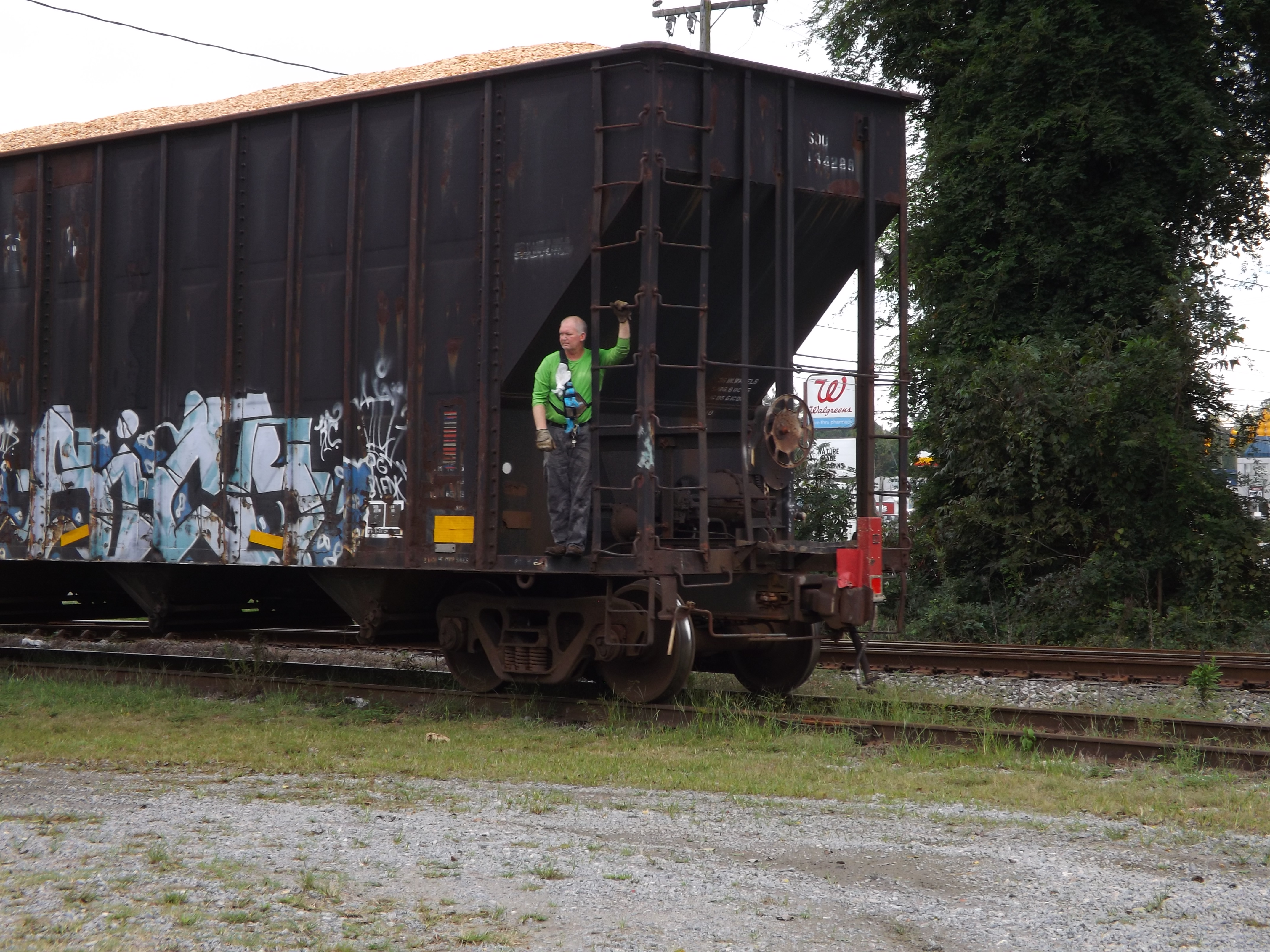
Conductor enjoying the view
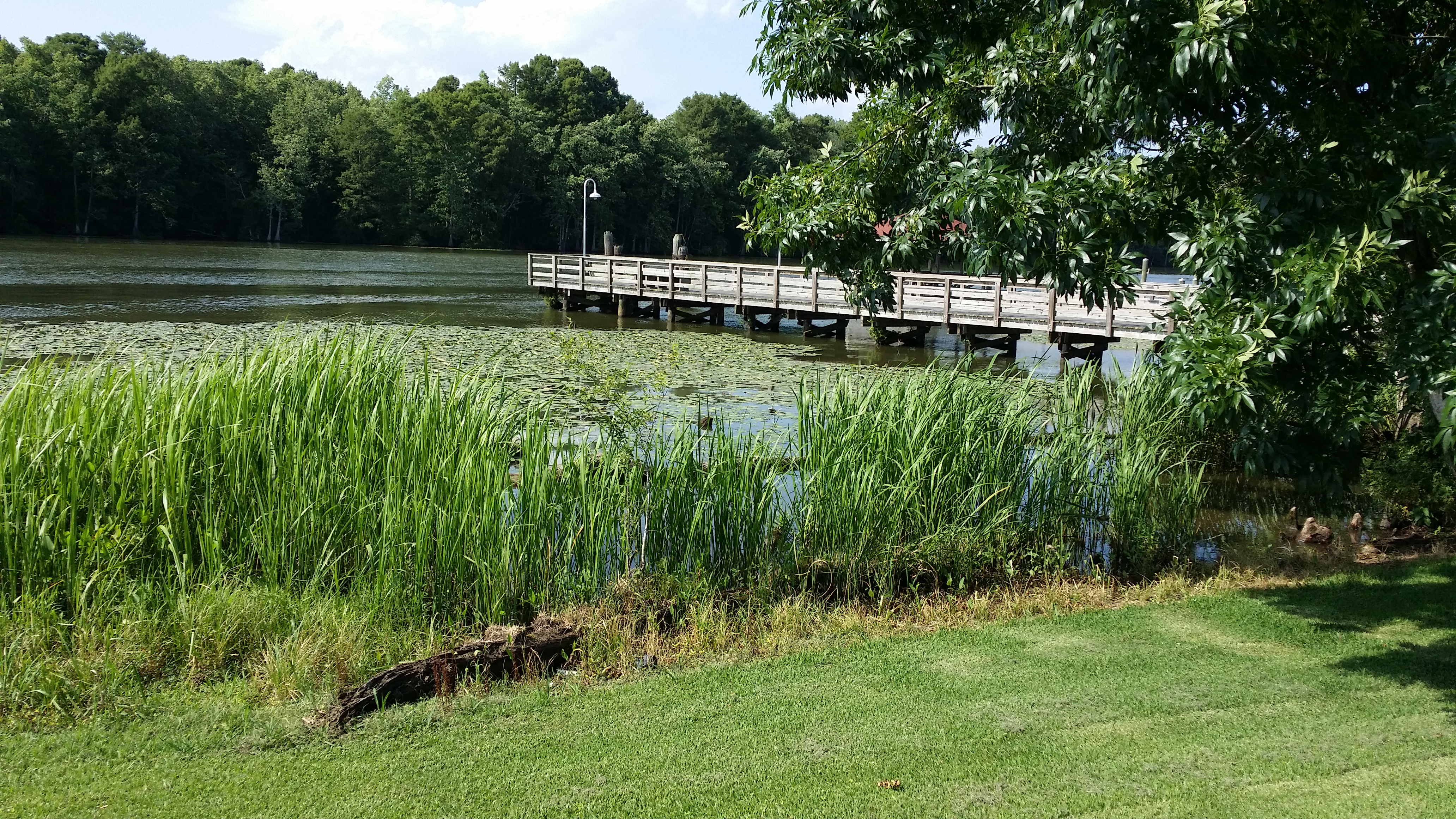
View of the Roanoke River
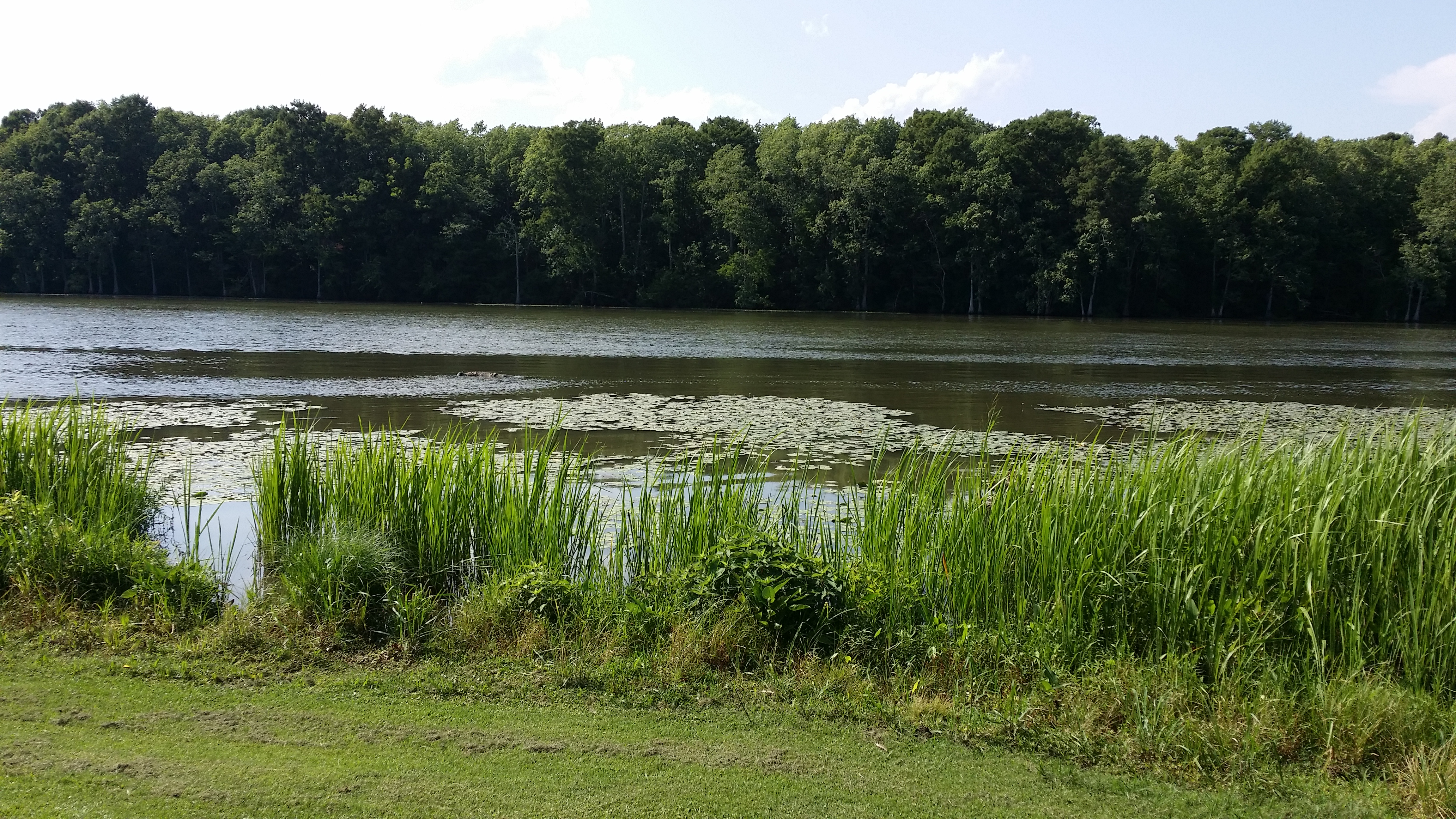
View of the Roanoke River
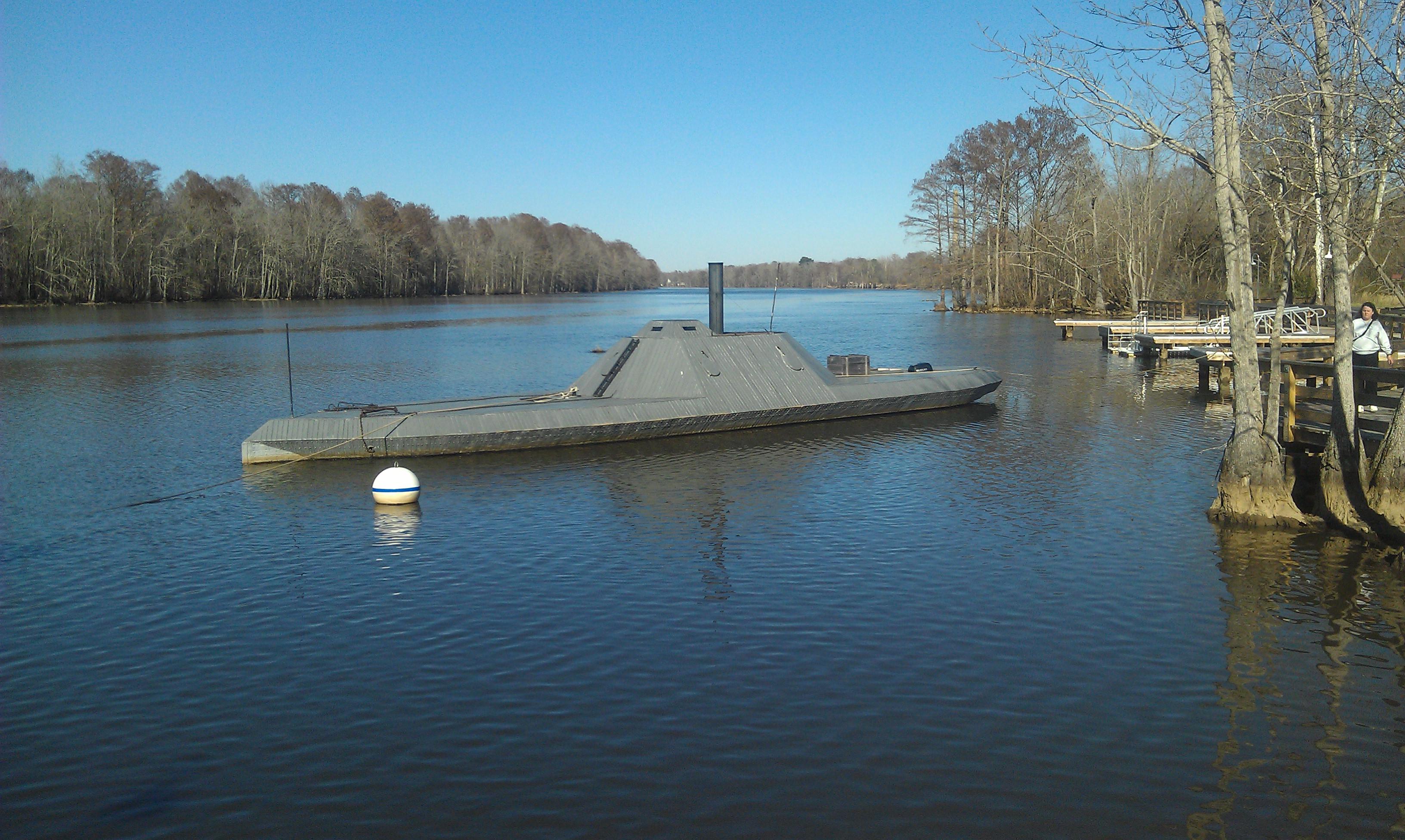
CSS ALBEMARLE replica- Plymouth NC (3)

U.S. 64 Near Plymouth, North Carolina

The River

U.S. 64 Near Plymouth, North Carolina

looking down the Roanoke river from lighthouse
Topographic Map of Plymouth, NC, USA
Find elevation by address:

Places in Plymouth, NC, USA:
Places near Plymouth, NC, USA:
124 E Water St
108 Thomas St
206 Andrew Jackson Ave
602 Washington St
161 Conaby Dr
General Matt Ransome Drive
81 Nc-45
NC-45, Plymouth, NC, USA
119 Vincent Dr
Mackeys Rd, Roper, NC, USA
1537 Cooper Hill Rd
Merry Hill
230 Blanchards Rd
401 Avoca Farm Rd
Salmon Creek Ln, Merry Hill, NC, USA
Merry Hill
Windsor
2018 Us-17
2007 Us-17
Brian Center Health & Rehabilitation/windsor
Recent Searches:
- Elevation of Corso Fratelli Cairoli, 35, Macerata MC, Italy
- Elevation of Tallevast Rd, Sarasota, FL, USA
- Elevation of 4th St E, Sonoma, CA, USA
- Elevation of Black Hollow Rd, Pennsdale, PA, USA
- Elevation of Oakland Ave, Williamsport, PA, USA
- Elevation of Pedrógão Grande, Portugal
- Elevation of Klee Dr, Martinsburg, WV, USA
- Elevation of Via Roma, Pieranica CR, Italy
- Elevation of Tavkvetili Mountain, Georgia
- Elevation of Hartfords Bluff Cir, Mt Pleasant, SC, USA