Elevation of 81 NC-45, Plymouth, NC, USA
Location: United States > North Carolina > Washington County > Plymouth >
Longitude: -76.699054
Latitude: 35.8696651
Elevation: -10000m / -32808feet
Barometric Pressure: 295KPa
Elevation Map:
Satellite Map:
Related Photos:

Monotone Isolation

Roanoke river, Plymouth

North Carolina, Plymouth, Roanoke River Lighthouse (Replica) (2,107)
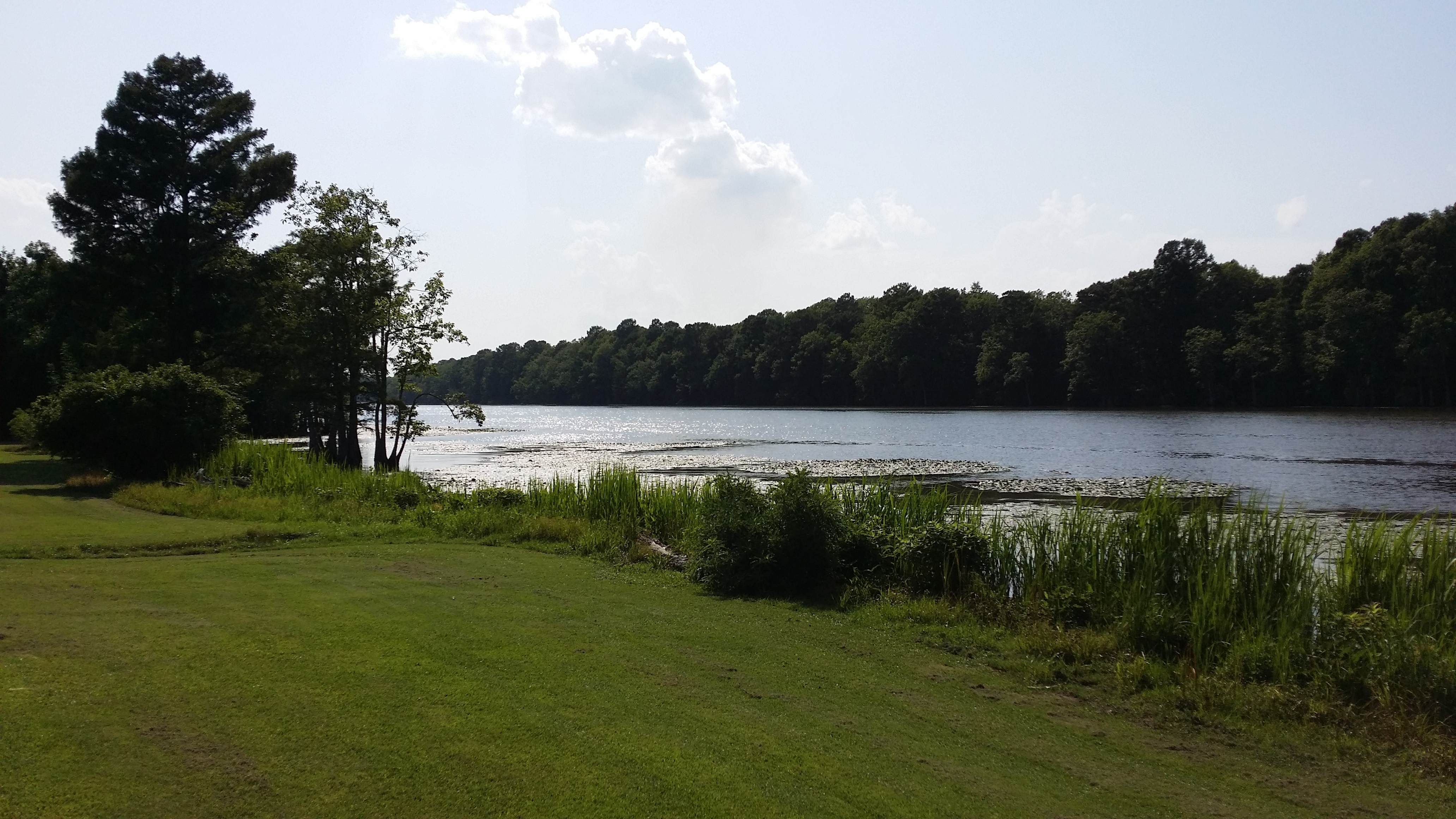
View of the Roanoke River

Conductor enjoying the view

Boxcar Restrooms

2530 The Building of a Cornfield Ironclad Img_17124

View of the Roanoke River

View of the Roanoke River

High Water

Roanoke River Lighthouse at Plymouth II

Roanoke River Lighthouse at Plymouth

CSS ALBEMARLE replica- Plymouth NC (3)

The River
Topographic Map of 81 NC-45, Plymouth, NC, USA
Find elevation by address:

Places near 81 NC-45, Plymouth, NC, USA:
161 Conaby Dr
General Matt Ransome Drive
Mackeys Rd, Roper, NC, USA
206 Andrew Jackson Ave
108 Thomas St
NC-45, Plymouth, NC, USA
602 Washington St
Plymouth
124 E Water St
Merry Hill
119 Vincent Dr
1537 Cooper Hill Rd
Salmon Creek Ln, Merry Hill, NC, USA
401 Avoca Farm Rd
Merry Hill
230 Blanchards Rd
2018 Us-17
2007 Us-17
Windsor
Brian Center Health & Rehabilitation/windsor
Recent Searches:
- Elevation of Corso Fratelli Cairoli, 35, Macerata MC, Italy
- Elevation of Tallevast Rd, Sarasota, FL, USA
- Elevation of 4th St E, Sonoma, CA, USA
- Elevation of Black Hollow Rd, Pennsdale, PA, USA
- Elevation of Oakland Ave, Williamsport, PA, USA
- Elevation of Pedrógão Grande, Portugal
- Elevation of Klee Dr, Martinsburg, WV, USA
- Elevation of Via Roma, Pieranica CR, Italy
- Elevation of Tavkvetili Mountain, Georgia
- Elevation of Hartfords Bluff Cir, Mt Pleasant, SC, USA