Elevation of Nalagarh, Himachal Pradesh, India
Location: India > Himachal Pradesh > Solan >
Longitude: 76.7047904
Latitude: 31.0445587
Elevation: 348m / 1142feet
Barometric Pressure: 0KPa
Related Photos:
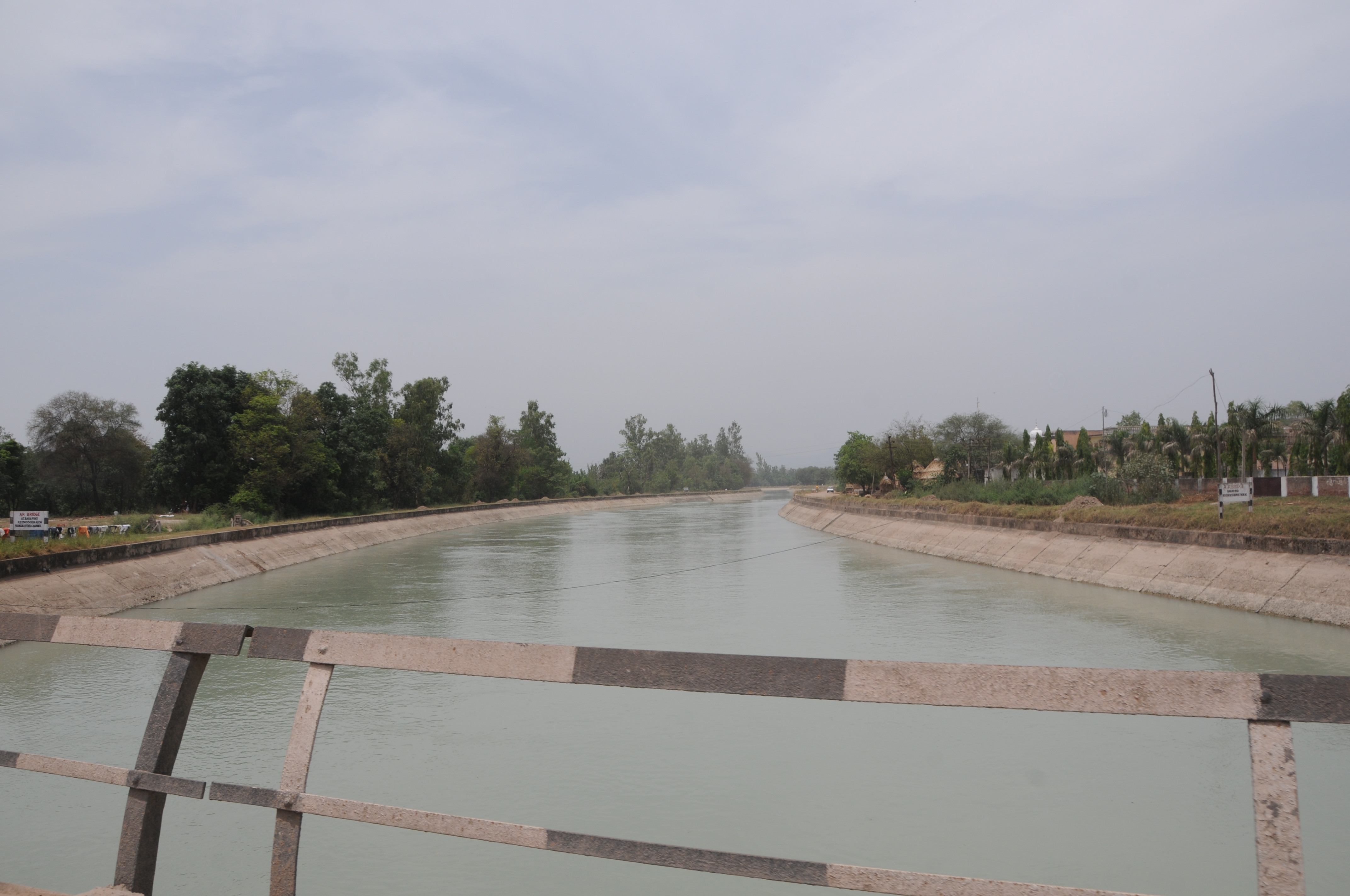
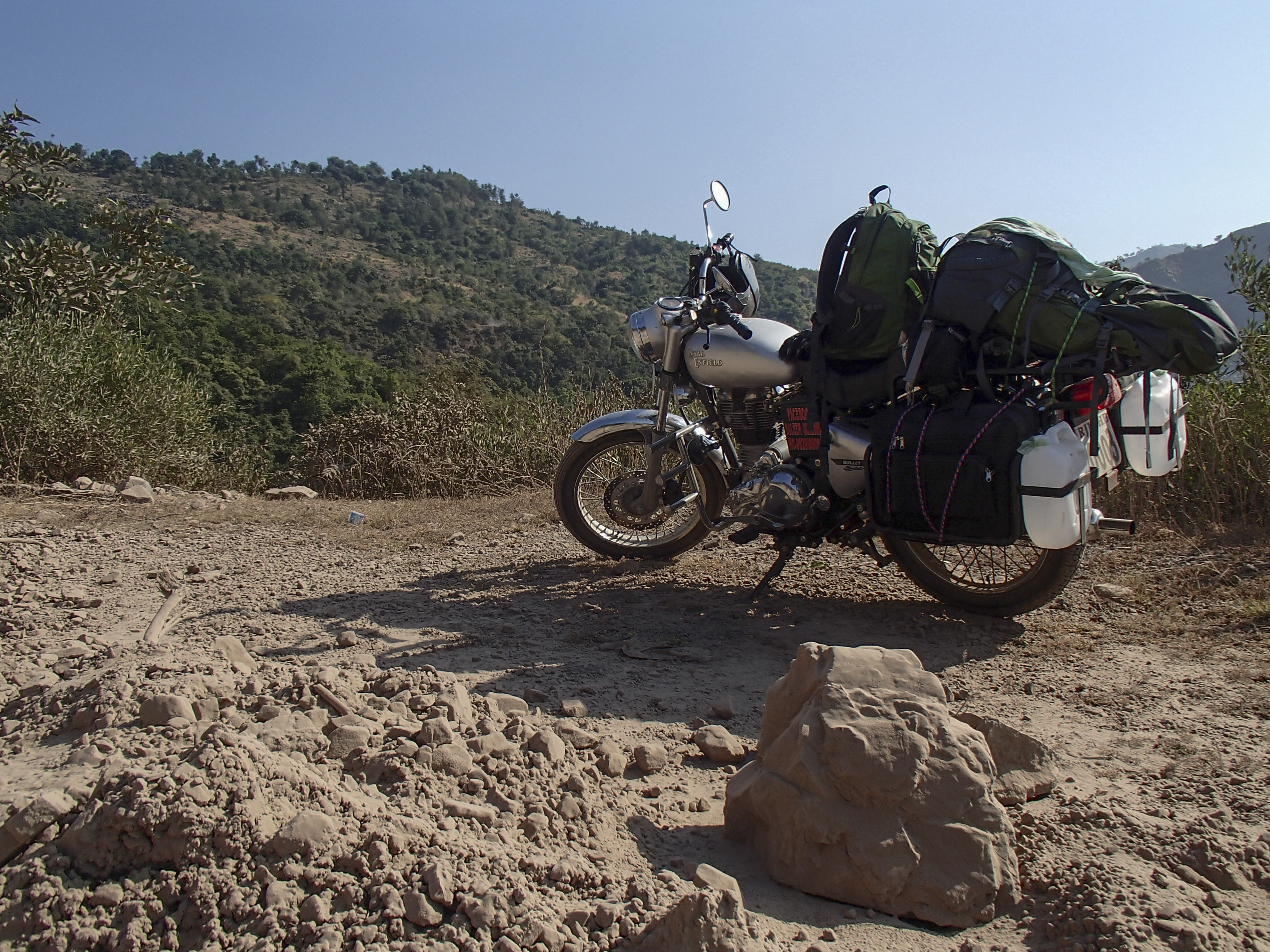
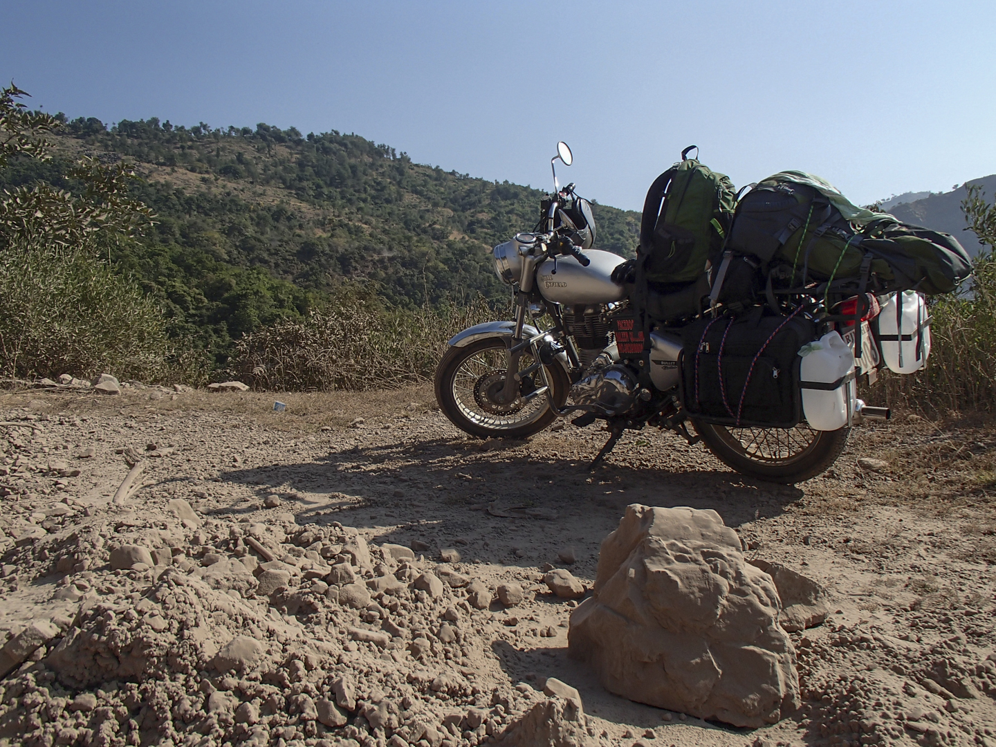
CSP_2239.JPG
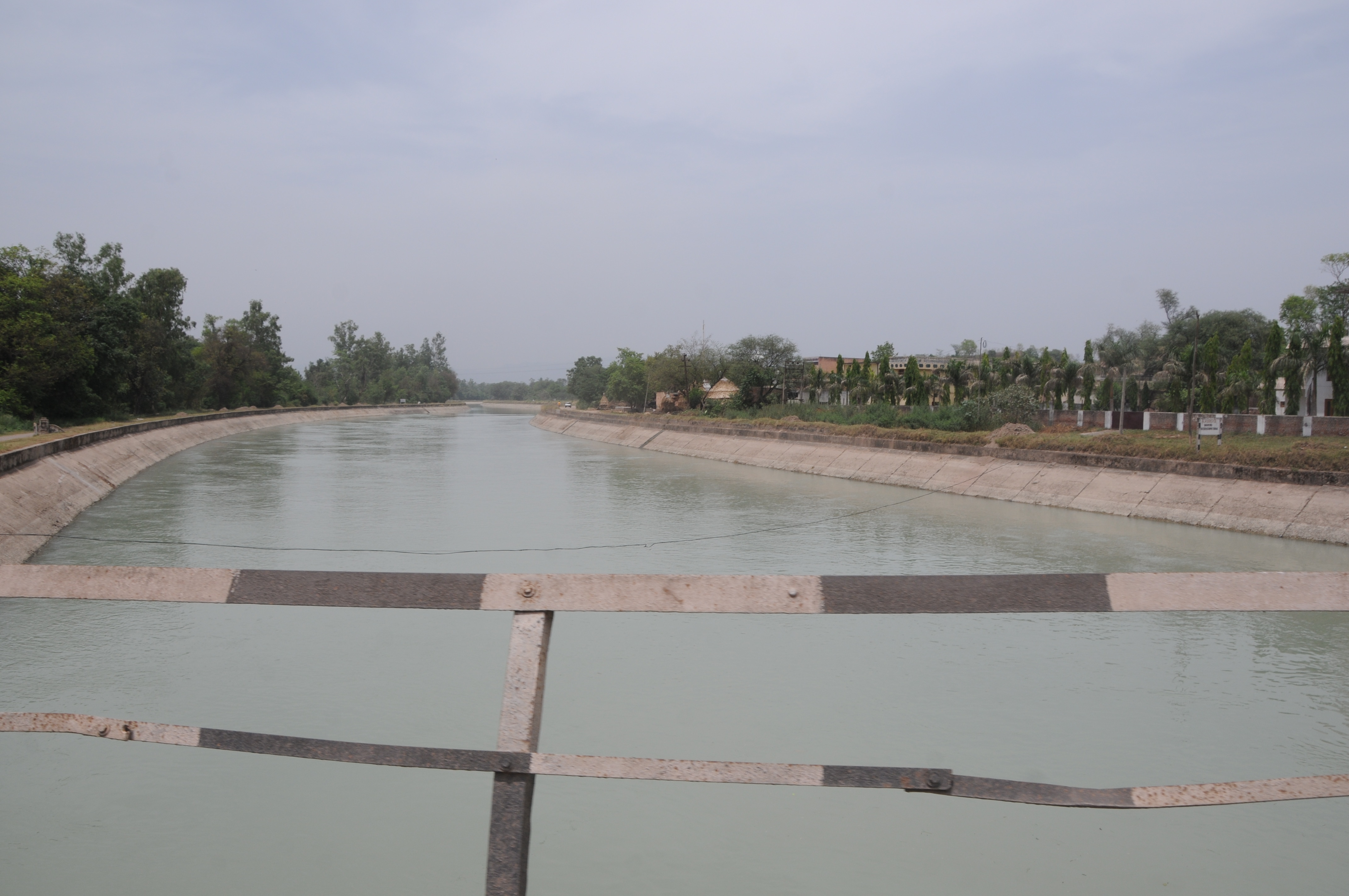
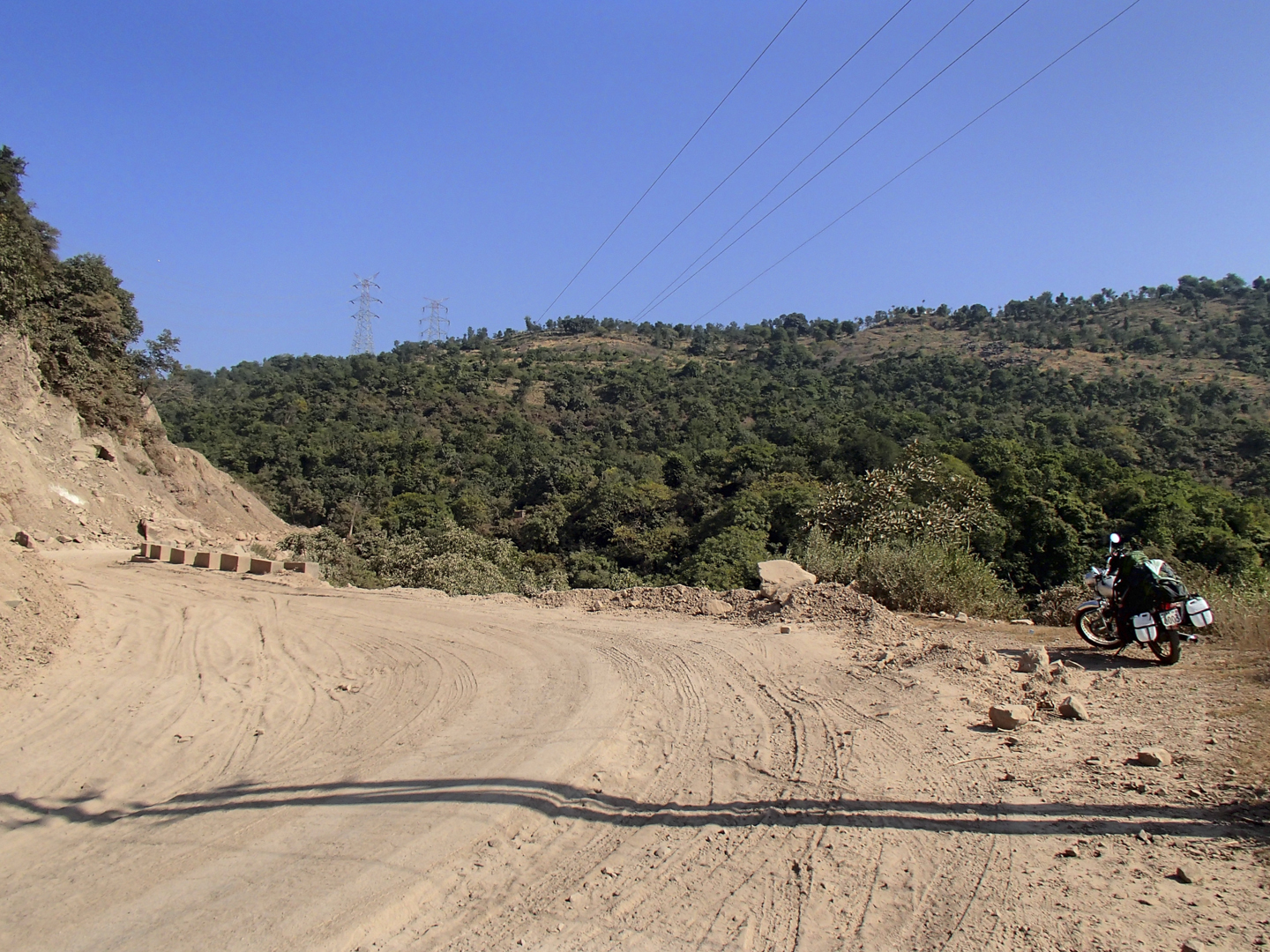
CSP_2238.JPG

2012-11-10_10h57m35s
Baddi, India

Good Evening!!
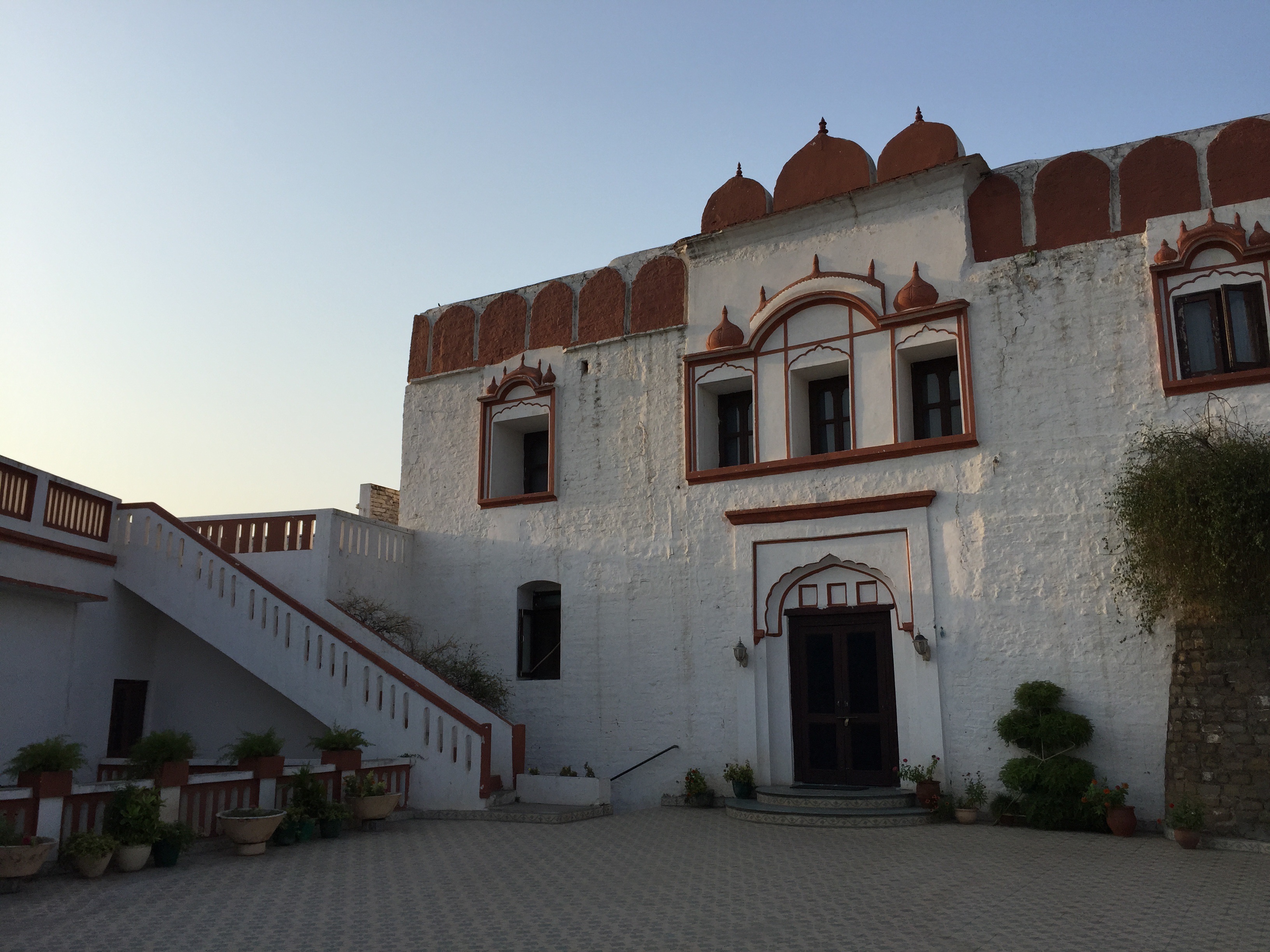
Nalaghar fort

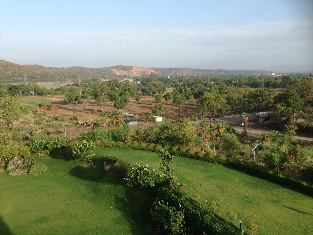
Looking over balcony at town of Nalaghar

Me and My Dog #TogetherAgainstRabies

Hibiscus.
2012-11-10_10h59m02s
2012-11-10_10h57m35s
2012-11-10_10h59m02s
"A life is like a tree -- if you don't make it straight when its young and green, you'll never do it when it's old and dry."
"All religions, arts and sciences are branches of the same tree."
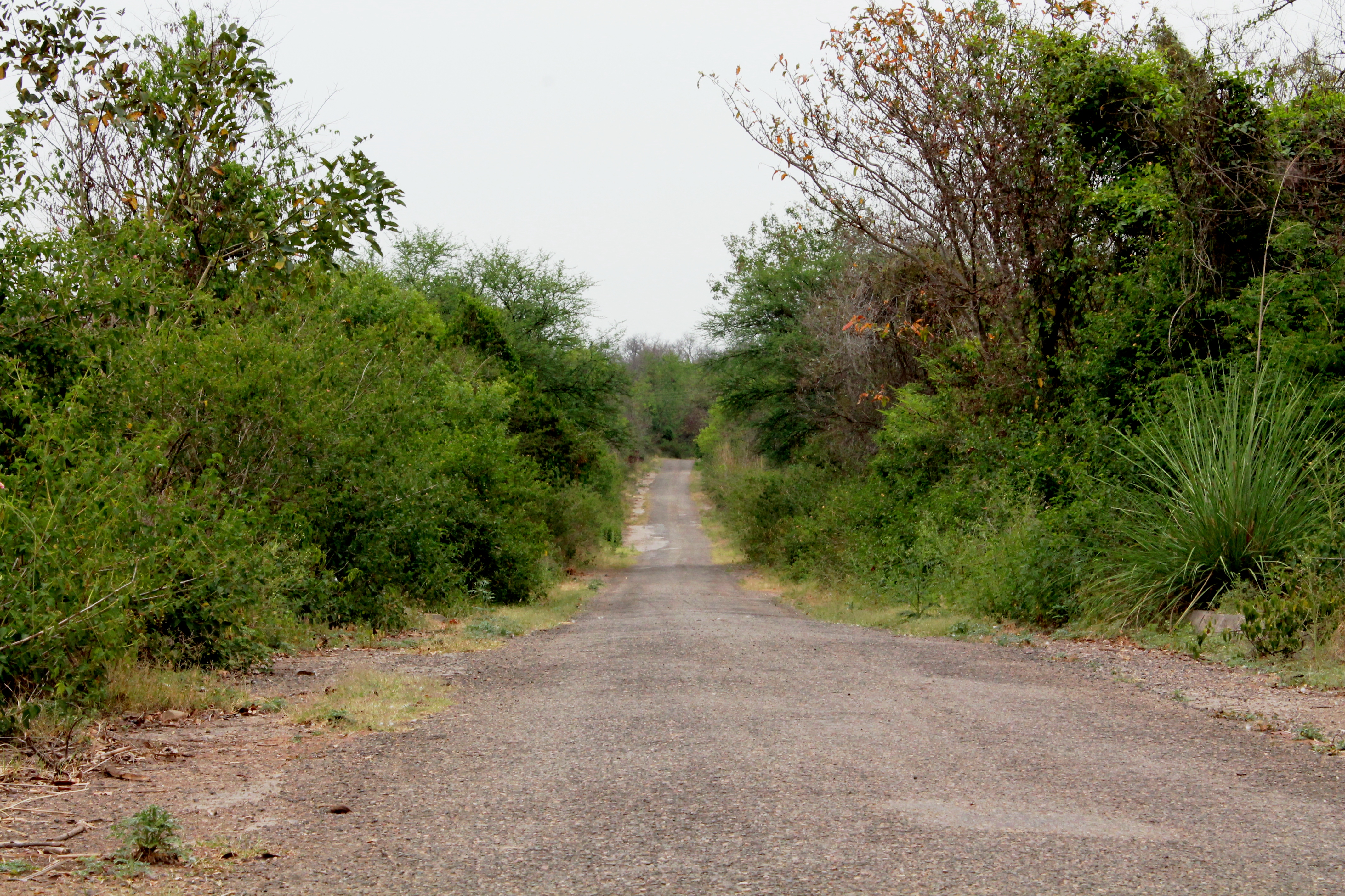
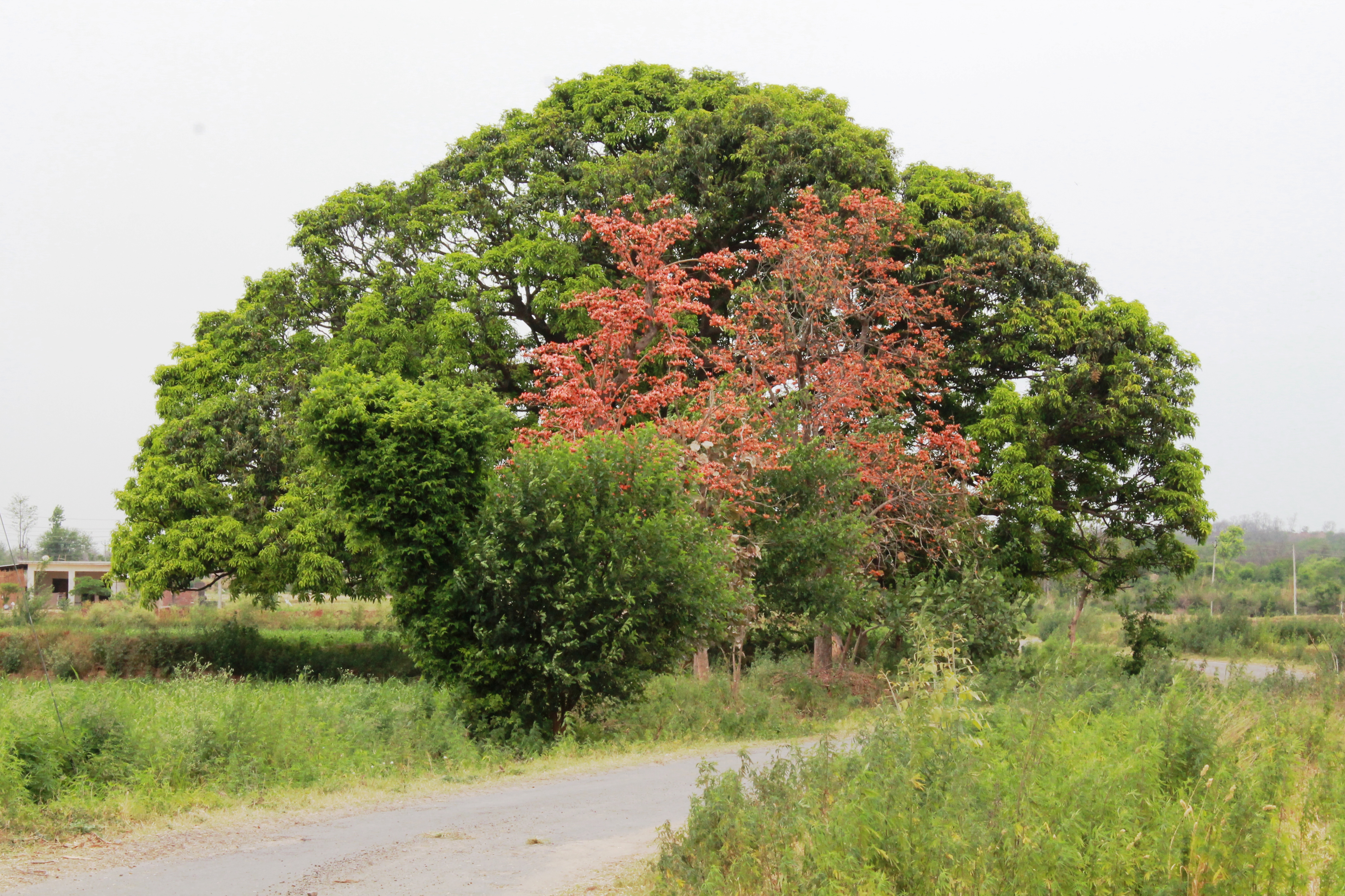
Forest Road
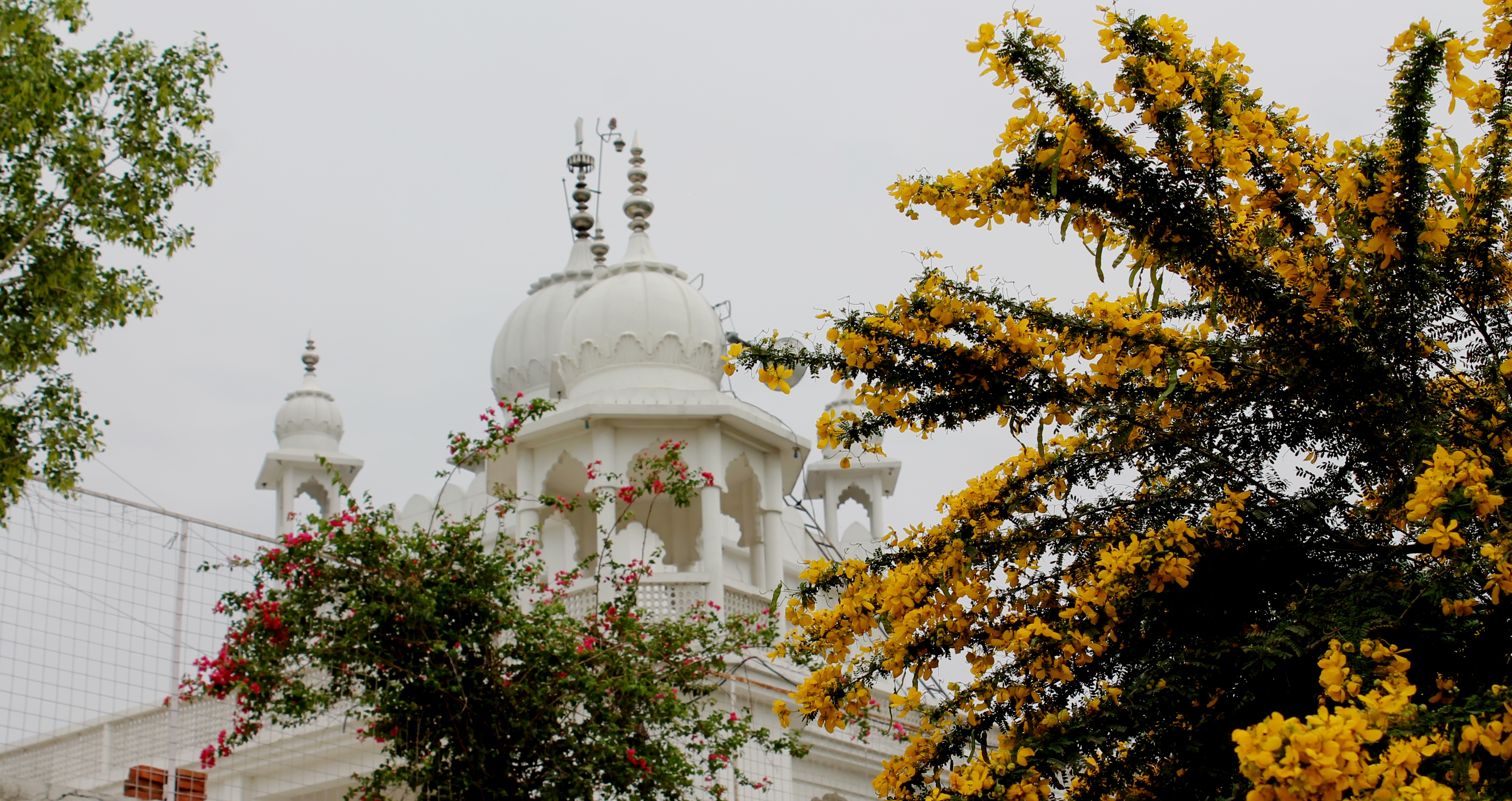
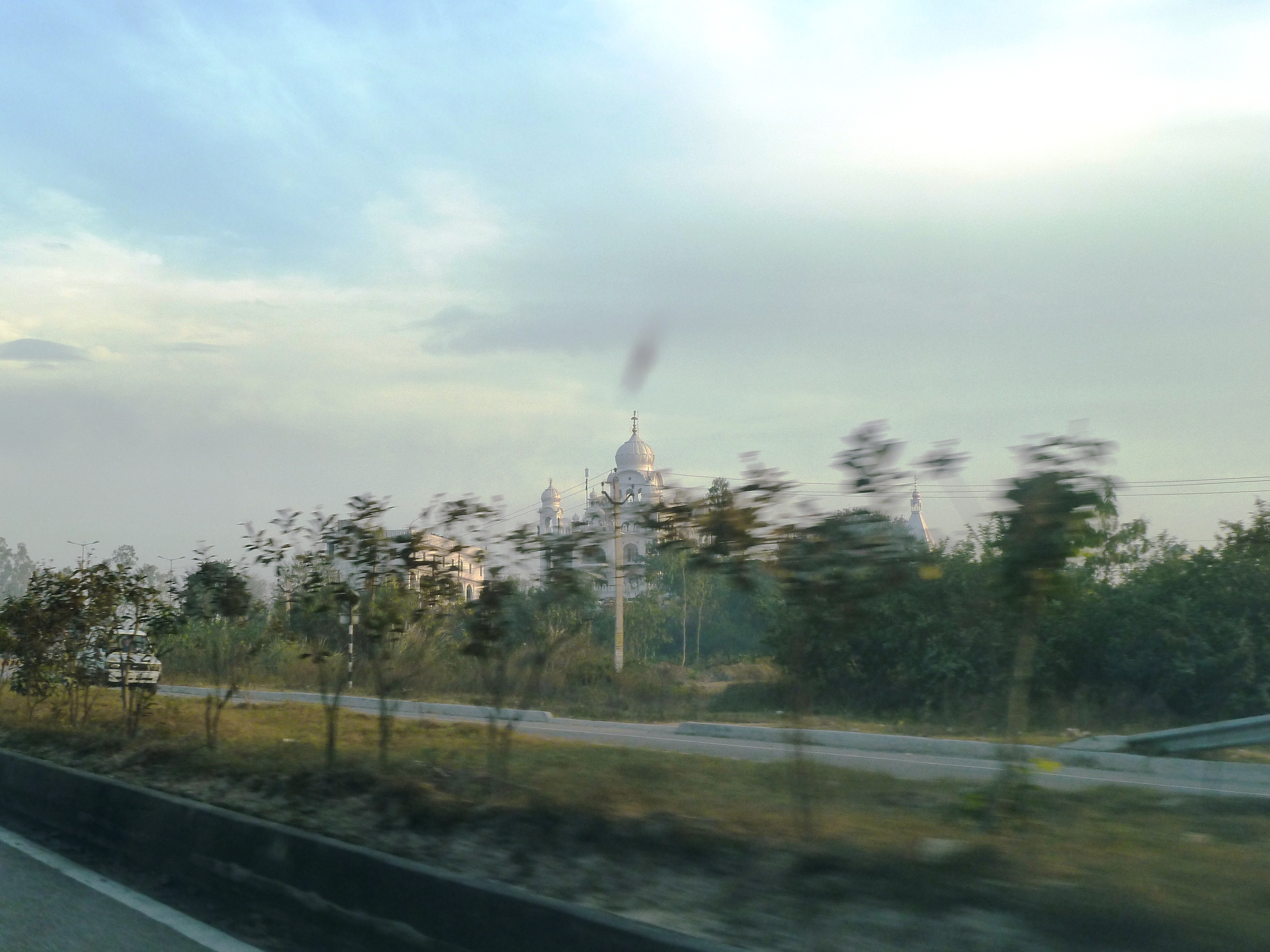
GURUDWARA SHRI MUMTAZ GARH SAHIB

An insect
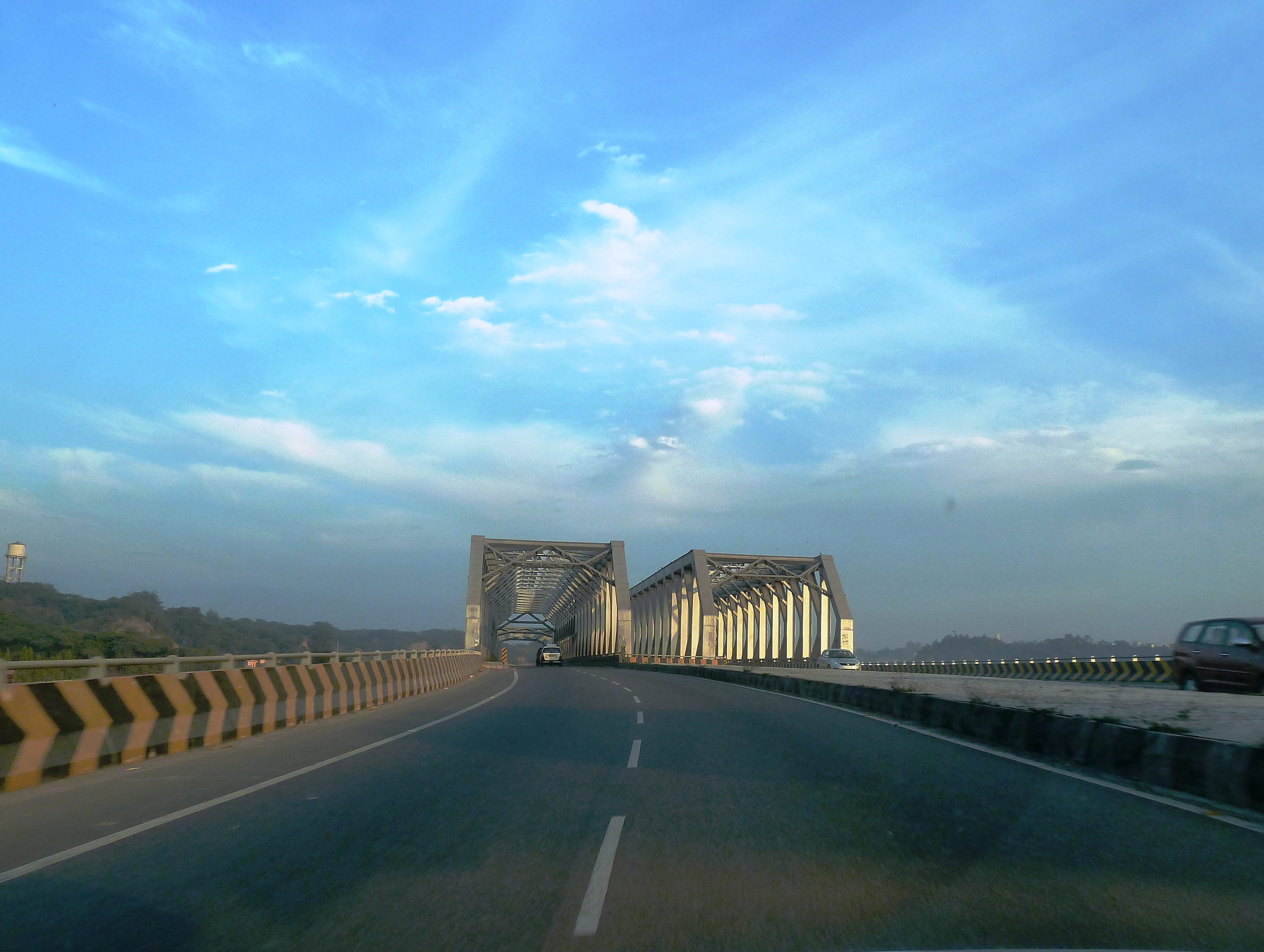
Ropar-Ananadpur Sahib, Expressway
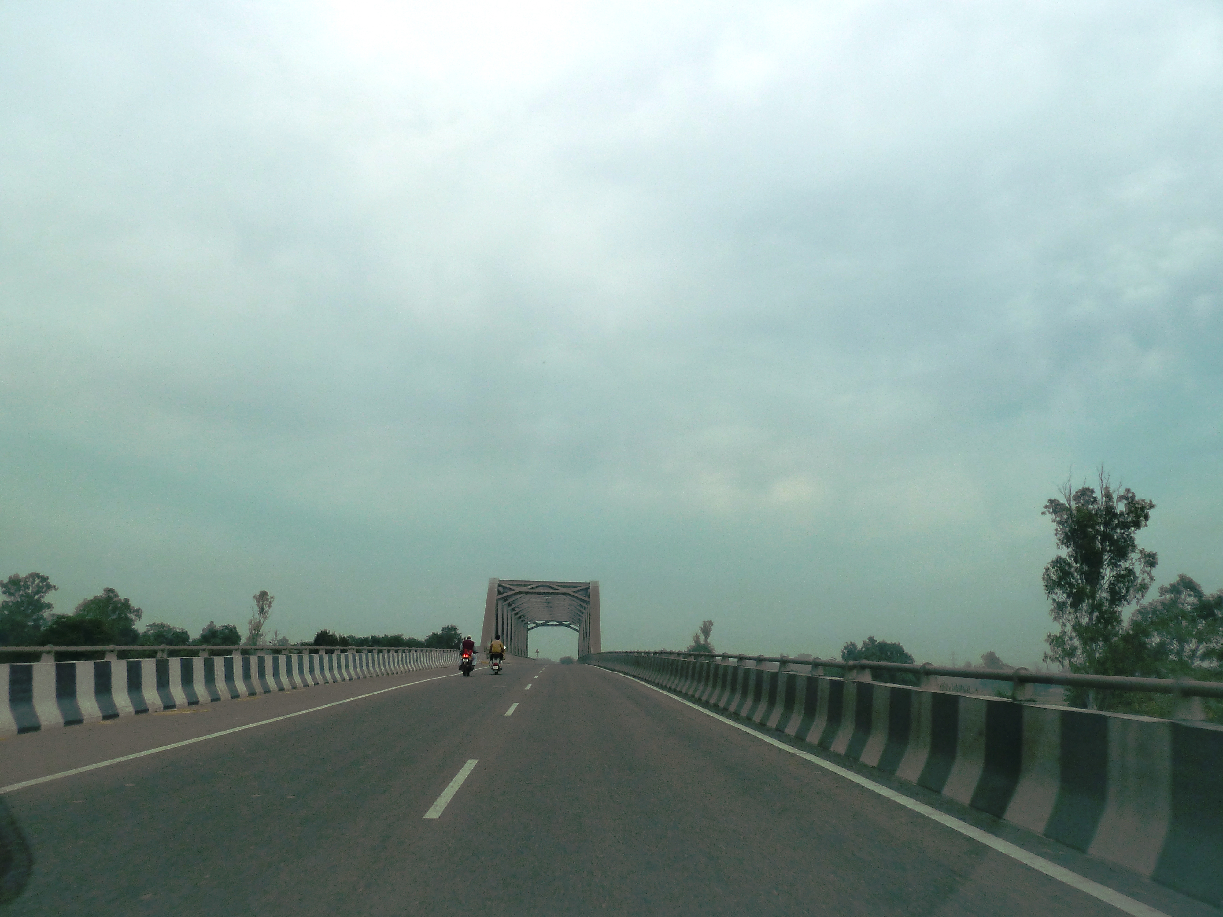
Ropar-Ananadpur Sahib, Expressway
Passing through Bharat Garh

Ropar-Anandpur Sahib Expressway
Topographic Map of Nalagarh, Himachal Pradesh, India
Find elevation by address:

Places in Nalagarh, Himachal Pradesh, India:
Places near Nalagarh, Himachal Pradesh, India:
Immacule Life Sciences Pvt Ltd
Ramshehar Fort Resort
Ramshehar
Baddi
Sai
Ropar Rupnagar Bus Stop
Rupnagar
Solan
Rupnagar
Bara Phool
Iit Ropar Main Campus
Nurpur Bedi
Anandpur Sahib
Anandpur Sahib
Karkhana Bela
Bilaspur
Bilaspur
Naina Devi
Taprian Rashidpur
Chamyon
Recent Searches:
- Elevation of 908, Northwood Drive, Bridge Field, Chesapeake, Virginia, 23322, USA
- Elevation map of Nagano Prefecture, Japan
- Elevation of 587, Bascule Drive, Oakdale, Stanislaus County, California, 95361, USA
- Elevation of Stadion Wankdorf, Sempachstrasse, Breitfeld, Bern, Bern-Mittelland administrative district, Bern, 3014, Switzerland
- Elevation of Z024, 76, Emil-von-Behring-Straße, Marbach, Marburg, Landkreis Marburg-Biedenkopf, Hesse, 35041, Germany
- Elevation of Gaskill Road, Hunts Cross, Liverpool, England, L24 9PH, United Kingdom
- Elevation of Speke, Liverpool, England, L24 9HD, United Kingdom
- Elevation of Seqirus, 475, Green Oaks Parkway, Holly Springs, Wake County, North Carolina, 27540, USA
- Elevation of Pasing, Munich, Bavaria, 81241, Germany
- Elevation of 24, Auburn Bay Crescent SE, Auburn Bay, Calgary, Alberta, T3M 0A6, Canada
- Elevation of Denver, 2314, Arapahoe Street, Five Points, Denver, Colorado, 80205, USA
- Elevation of Community of the Beatitudes, 2924, West 43rd Avenue, Sunnyside, Denver, Colorado, 80211, USA
- Elevation map of Litang County, Sichuan, China
- Elevation map of Madoi County, Qinghai, China
- Elevation of 3314, Ohio State Route 114, Payne, Paulding County, Ohio, 45880, USA
- Elevation of Sarahills Drive, Saratoga, Santa Clara County, California, 95070, USA
- Elevation of Town of Bombay, Franklin County, New York, USA
- Elevation of 9, Convent Lane, Center Moriches, Suffolk County, New York, 11934, USA
- Elevation of Saint Angelas Convent, 9, Convent Lane, Center Moriches, Suffolk County, New York, 11934, USA
- Elevation of 131st Street Southwest, Mukilteo, Snohomish County, Washington, 98275, USA