Elevation of Rupnagar, Punjab, India
Location: India > Punjab >
Longitude: 76.5025742
Latitude: 31.1413825
Elevation: 296m / 971feet
Barometric Pressure: 0KPa
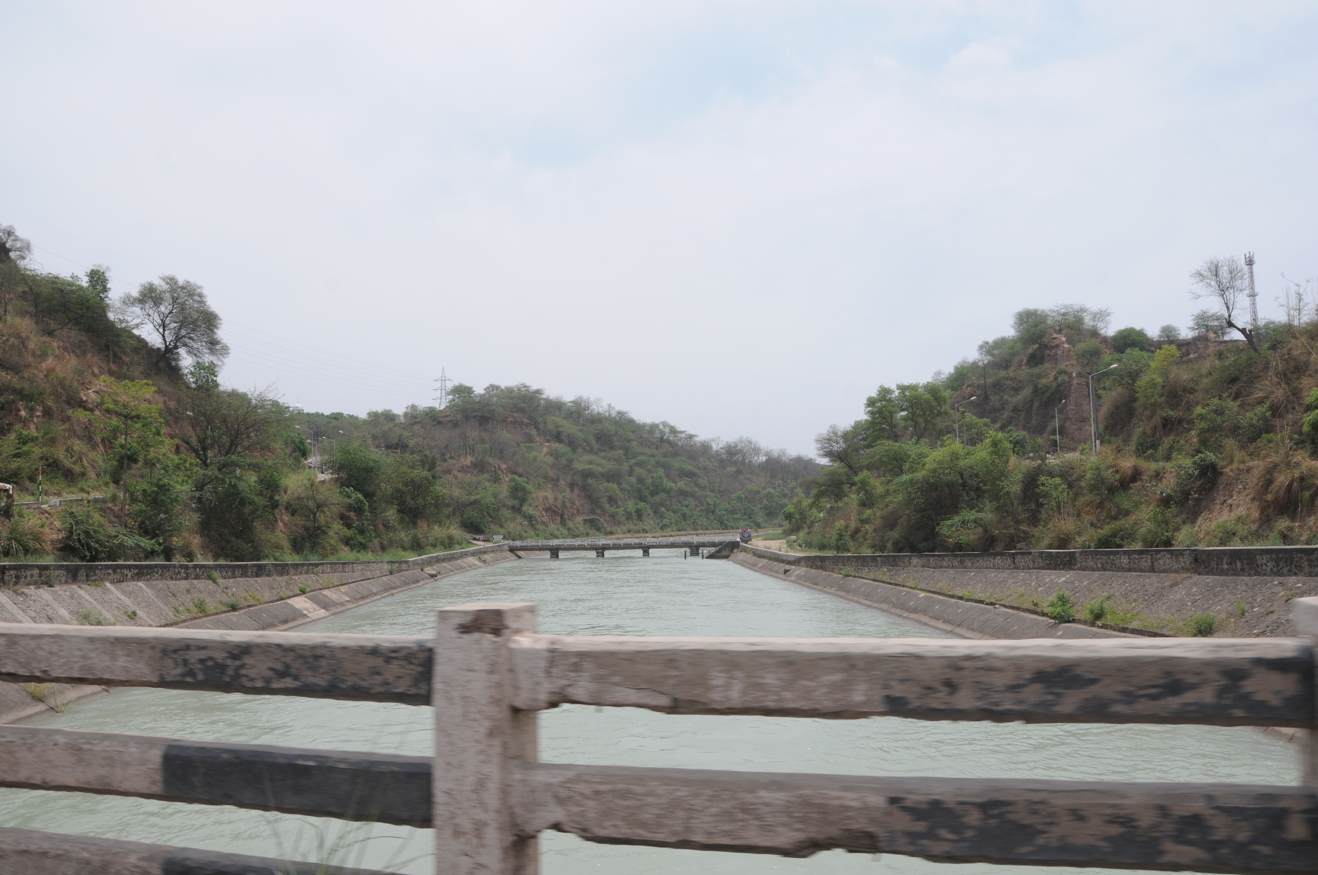
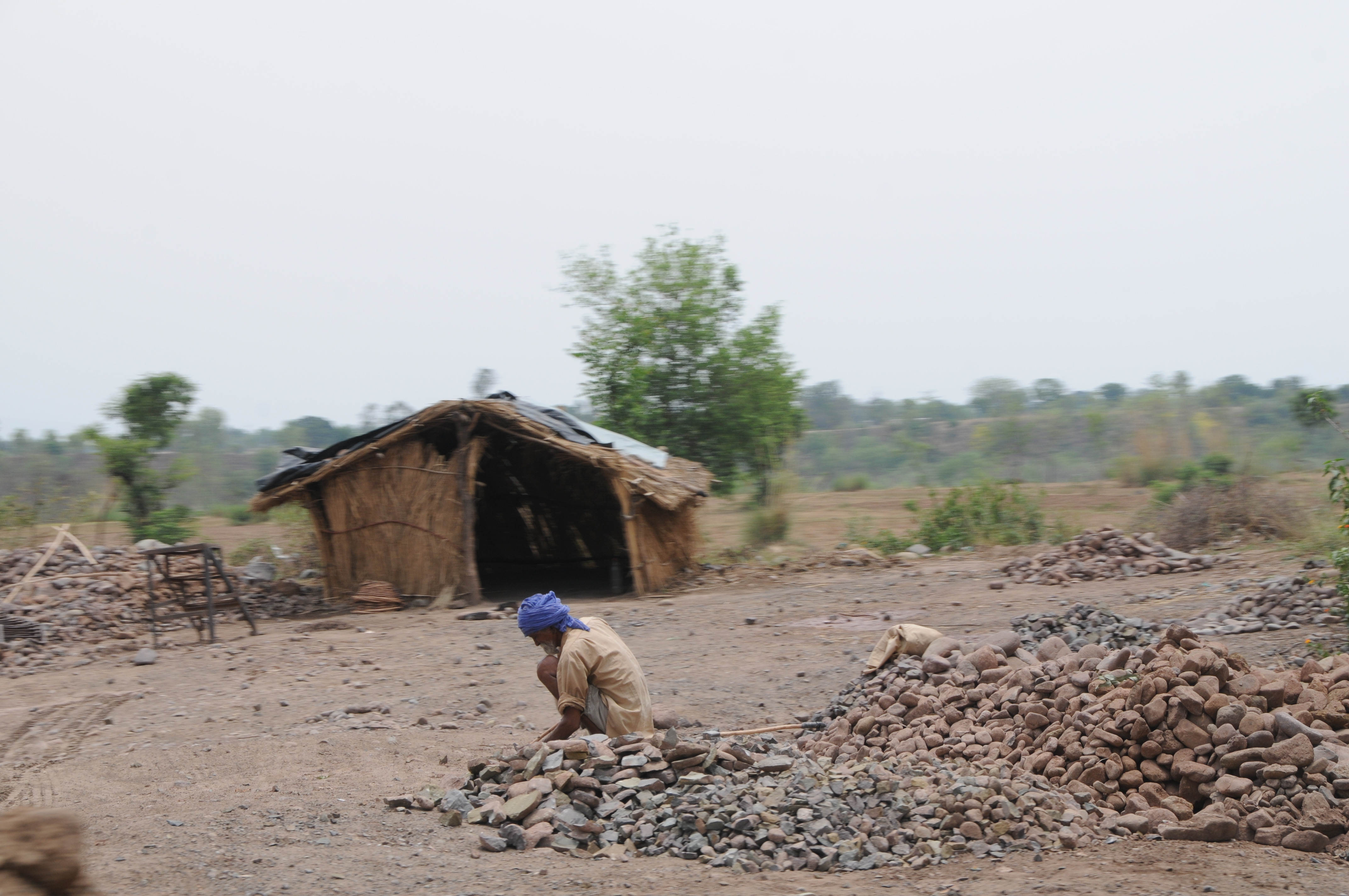
Related Photos:
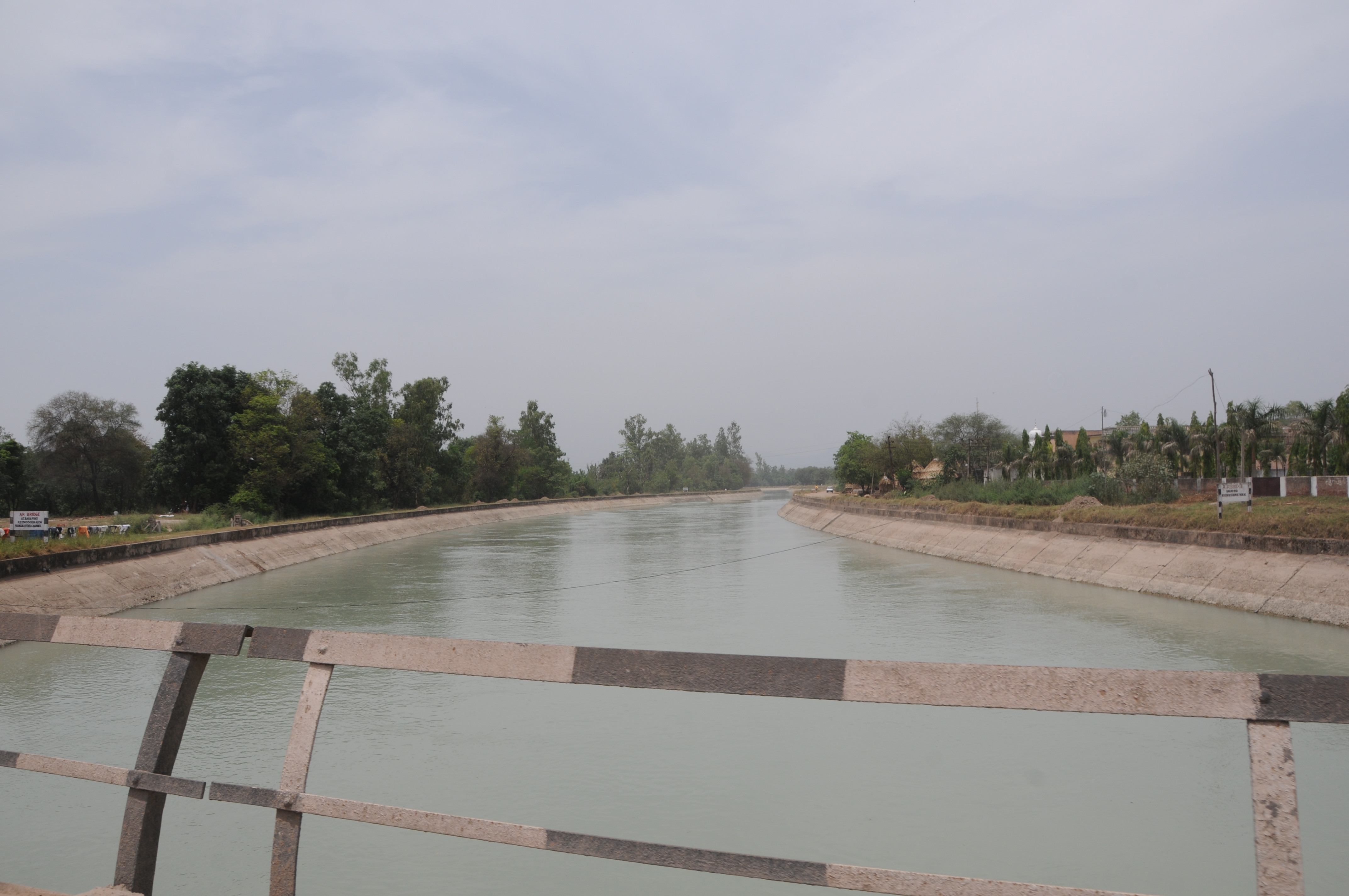
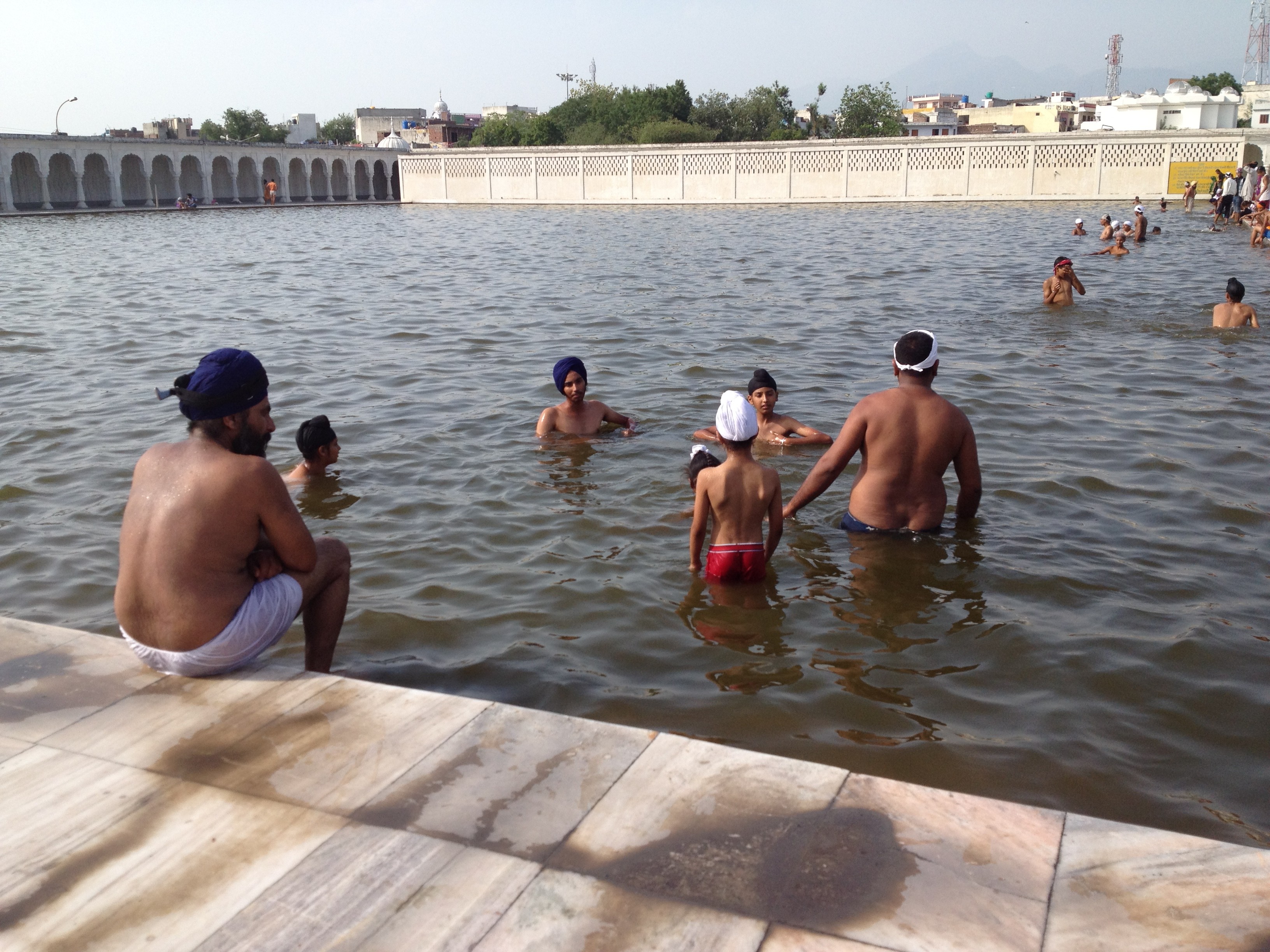
CSP_2239.JPG
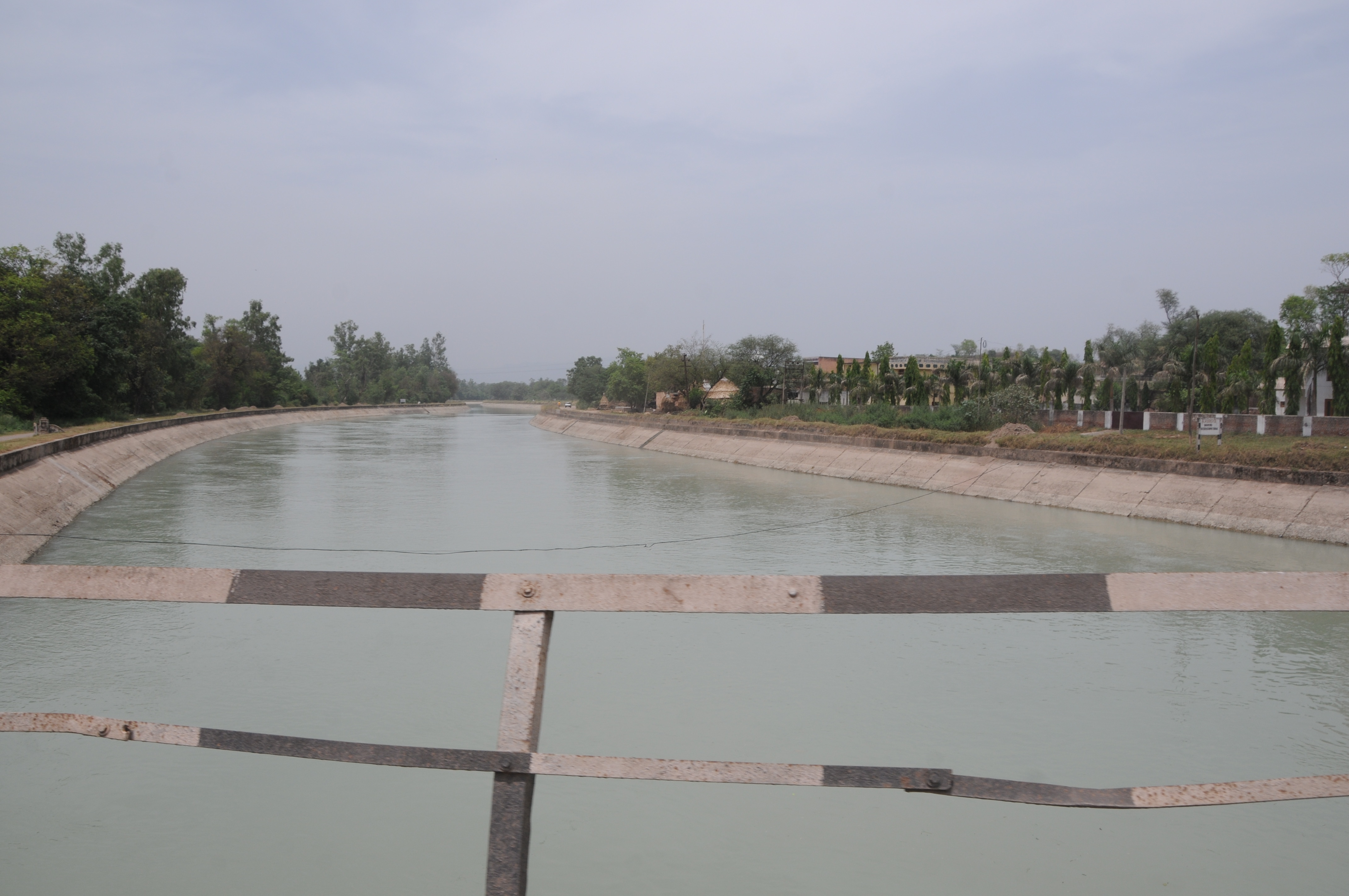
CSP_2238.JPG

CSP_2233.JPG
CSP_2232.JPG

CSP_2234.JPG
CSP_2231.JPG

CSP_2235.JPG
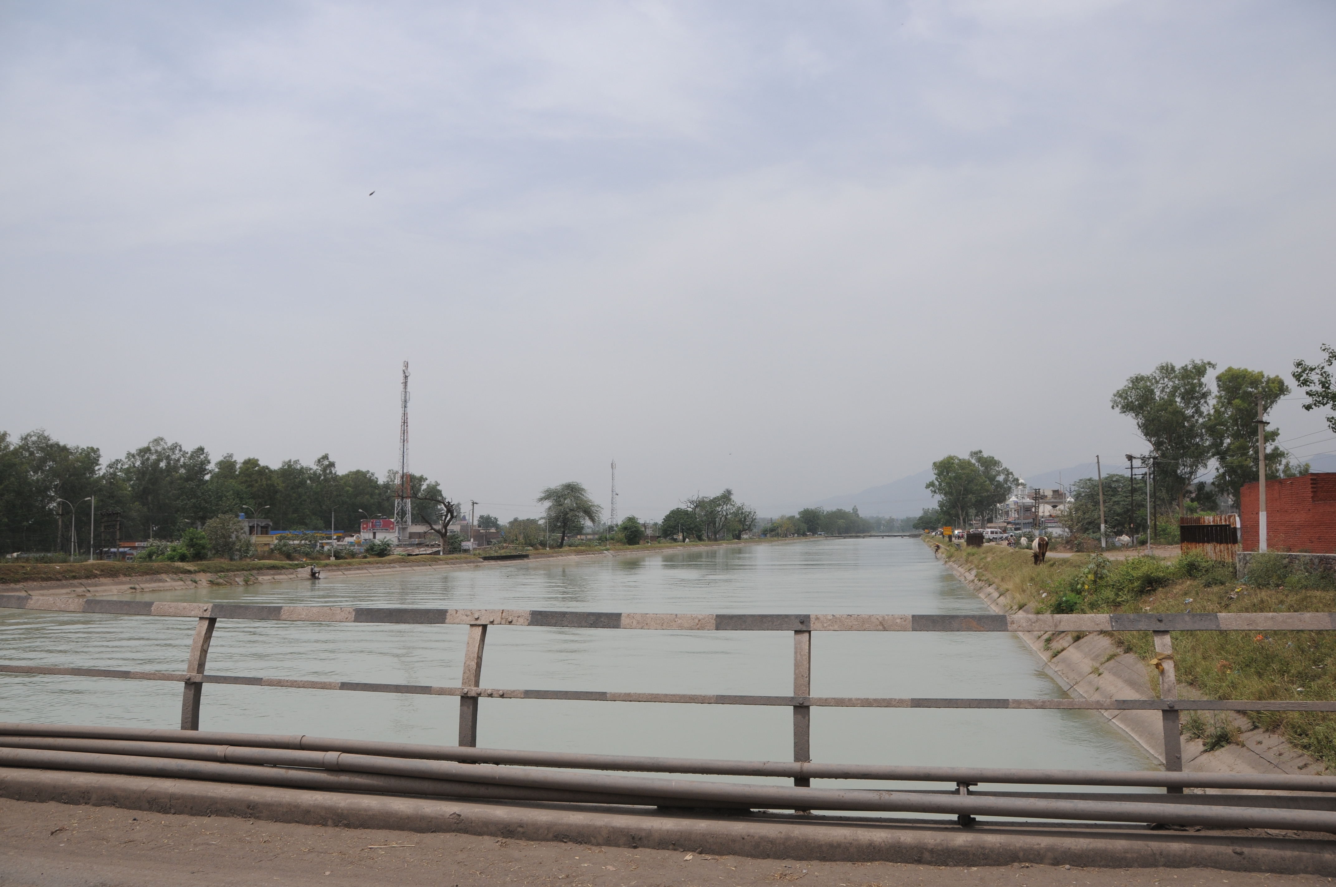
CSP_2236.JPG

CSP_2237.JPG
India Juli 2012
Topographic Map of Rupnagar, Punjab, India
Find elevation by address:

Places in Rupnagar, Punjab, India:
Anandpur Sahib
Rupnagar
Morinda
Chamkaur Sahib
Gaj Retreat
Nangal
Bara Phool
Karkhana Bela
Taprian Rashidpur
Places near Rupnagar, Punjab, India:
Nurpur Bedi
Anandpur Sahib
Anandpur Sahib
Ropar Rupnagar Bus Stop
Bara Phool
Naina Devi
Iit Ropar Main Campus
Rupnagar
Karkhana Bela
Taprian Rashidpur
Balachaur
Immacule Life Sciences Pvt Ltd
Nalagarh
Gaj Retreat
Rattanpur
Jangal Mehduda Bhakhra
Nangal
Bilaspur
Saroya
Bhakra Dam
Recent Searches:
- Elevation of Window Rock, Colfax County, New Mexico, 87714, USA
- Elevation of 4807, Rosecroft Street, Kempsville Gardens, Virginia Beach, Virginia, 23464, USA
- Elevation map of Matawinie, Quebec, Canada
- Elevation of Sainte-Émélie-de-l'Énergie, Matawinie, Quebec, Canada
- Elevation of Rue du Pont, Sainte-Émélie-de-l'Énergie, Matawinie, Quebec, J0K2K0, Canada
- Elevation of 8, Rue de Bécancour, Blainville, Thérèse-De Blainville, Quebec, J7B1N2, Canada
- Elevation of Wilmot Court North, 163, University Avenue West, Northdale, Waterloo, Region of Waterloo, Ontario, N2L6B6, Canada
- Elevation map of Panamá Province, Panama
- Elevation of Balboa, Panamá Province, Panama
- Elevation of San Miguel, Balboa, Panamá Province, Panama
- Elevation of Isla Gibraleón, San Miguel, Balboa, Panamá Province, Panama
- Elevation of 4655, Krischke Road, Schulenburg, Fayette County, Texas, 78956, USA
- Elevation of Carnegie Avenue, Downtown Cleveland, Cleveland, Cuyahoga County, Ohio, 44115, USA
- Elevation of Walhonding, Coshocton County, Ohio, USA
- Elevation of Clifton Down, Clifton, Bristol, City of Bristol, England, BS8 3HU, United Kingdom
- Elevation map of Auvergne-Rhône-Alpes, France
- Elevation map of Upper Savoy, Auvergne-Rhône-Alpes, France
- Elevation of Chamonix-Mont-Blanc, Upper Savoy, Auvergne-Rhône-Alpes, France
- Elevation of 908, Northwood Drive, Bridge Field, Chesapeake, Virginia, 23322, USA
- Elevation map of Nagano Prefecture, Japan