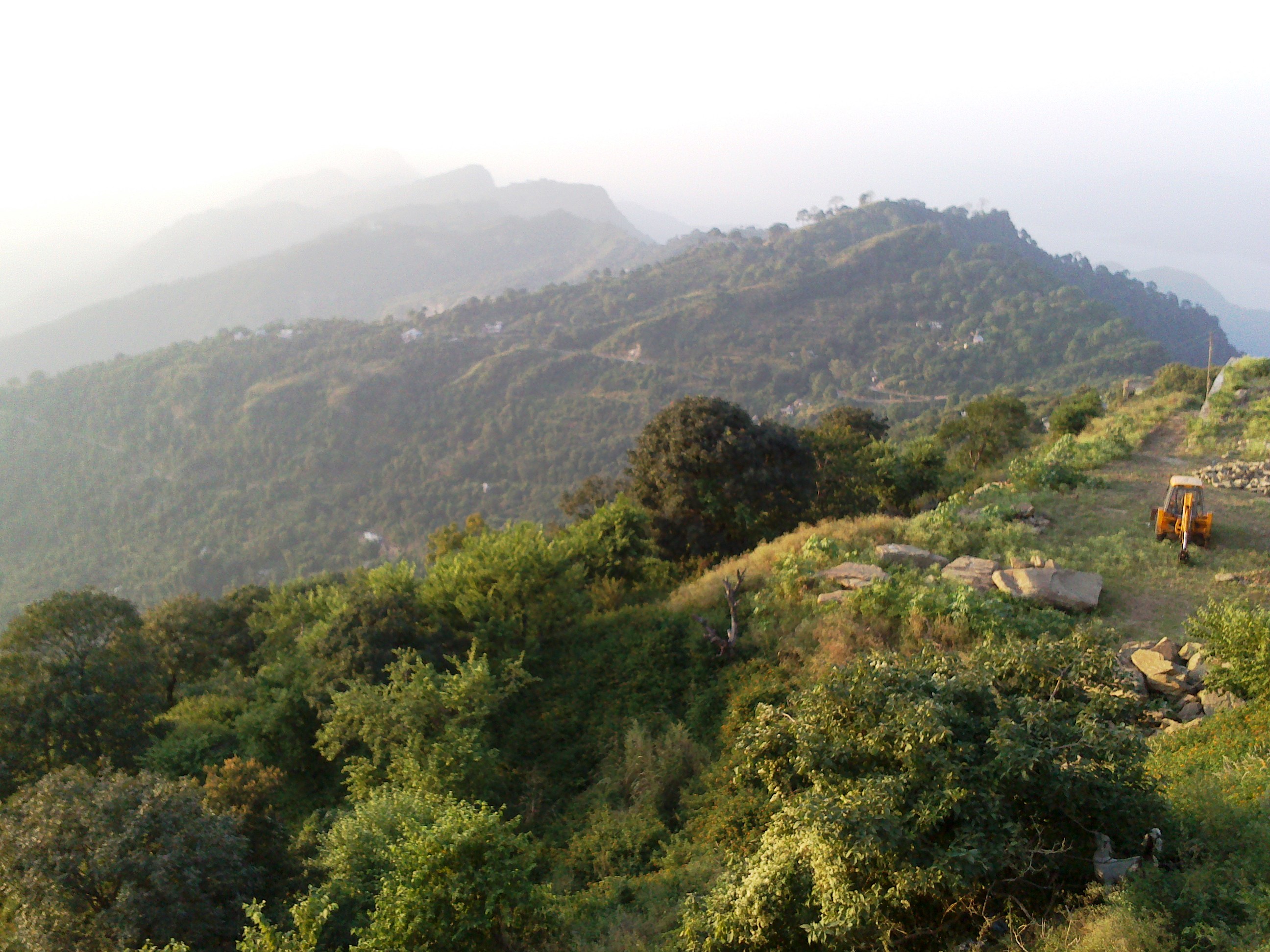
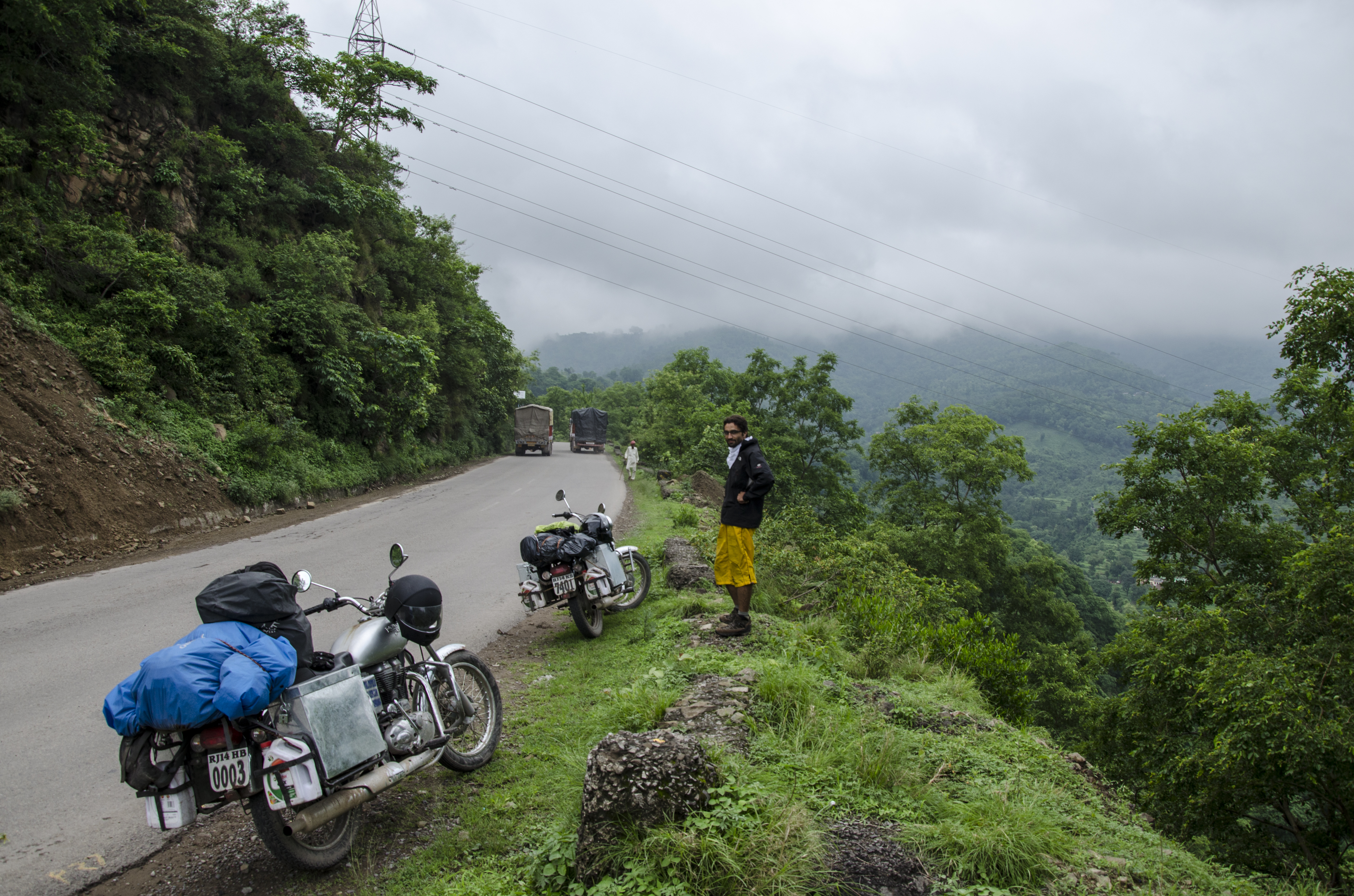
Elevation of Anandpur Sahib, Punjab, India
Location: India > Punjab > Rupnagar > Anandpur Sahib >
Longitude: 76.5054652
Latitude: 31.2344015
Elevation: 313m / 1027feet
Barometric Pressure: 0KPa
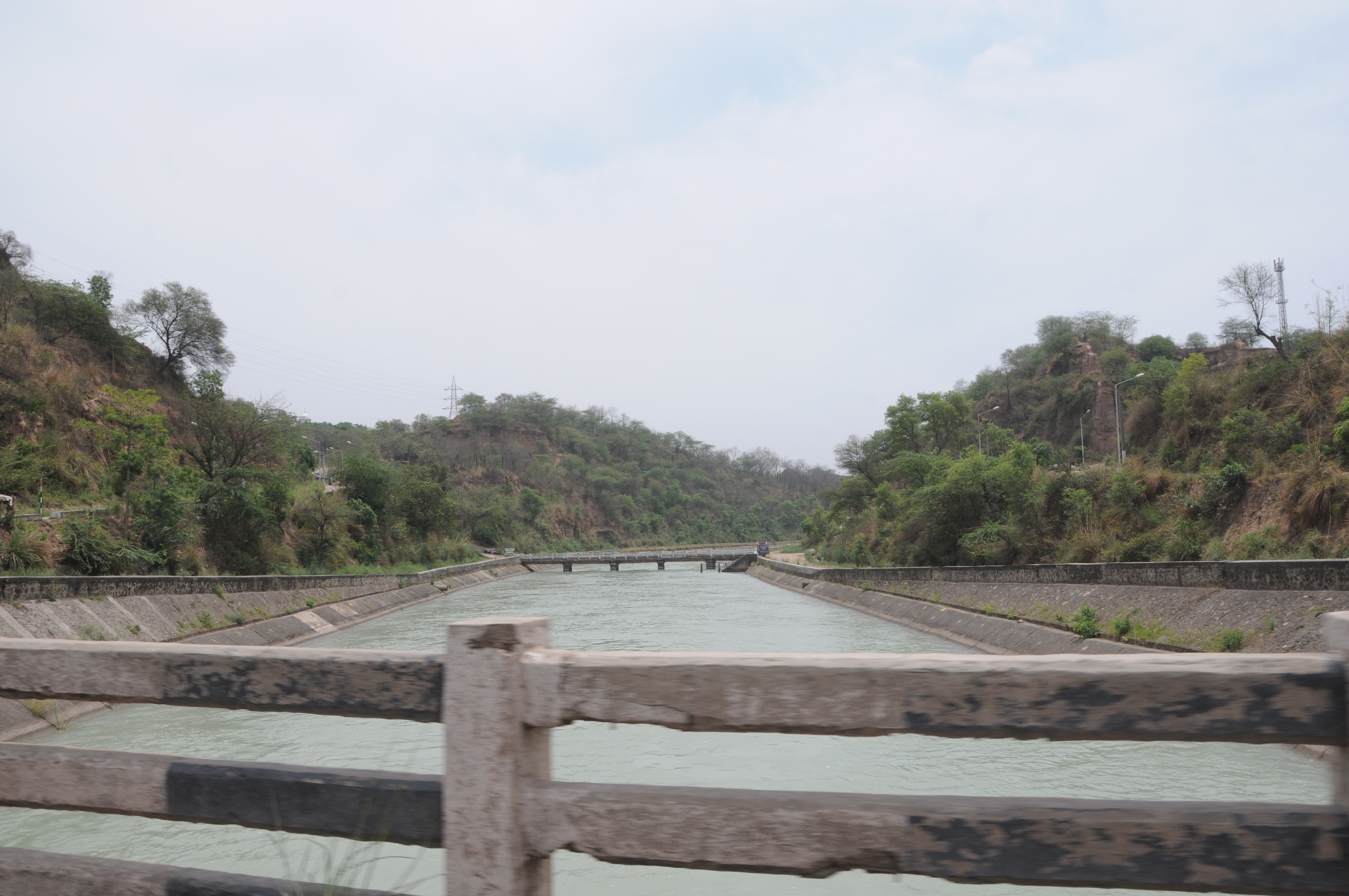
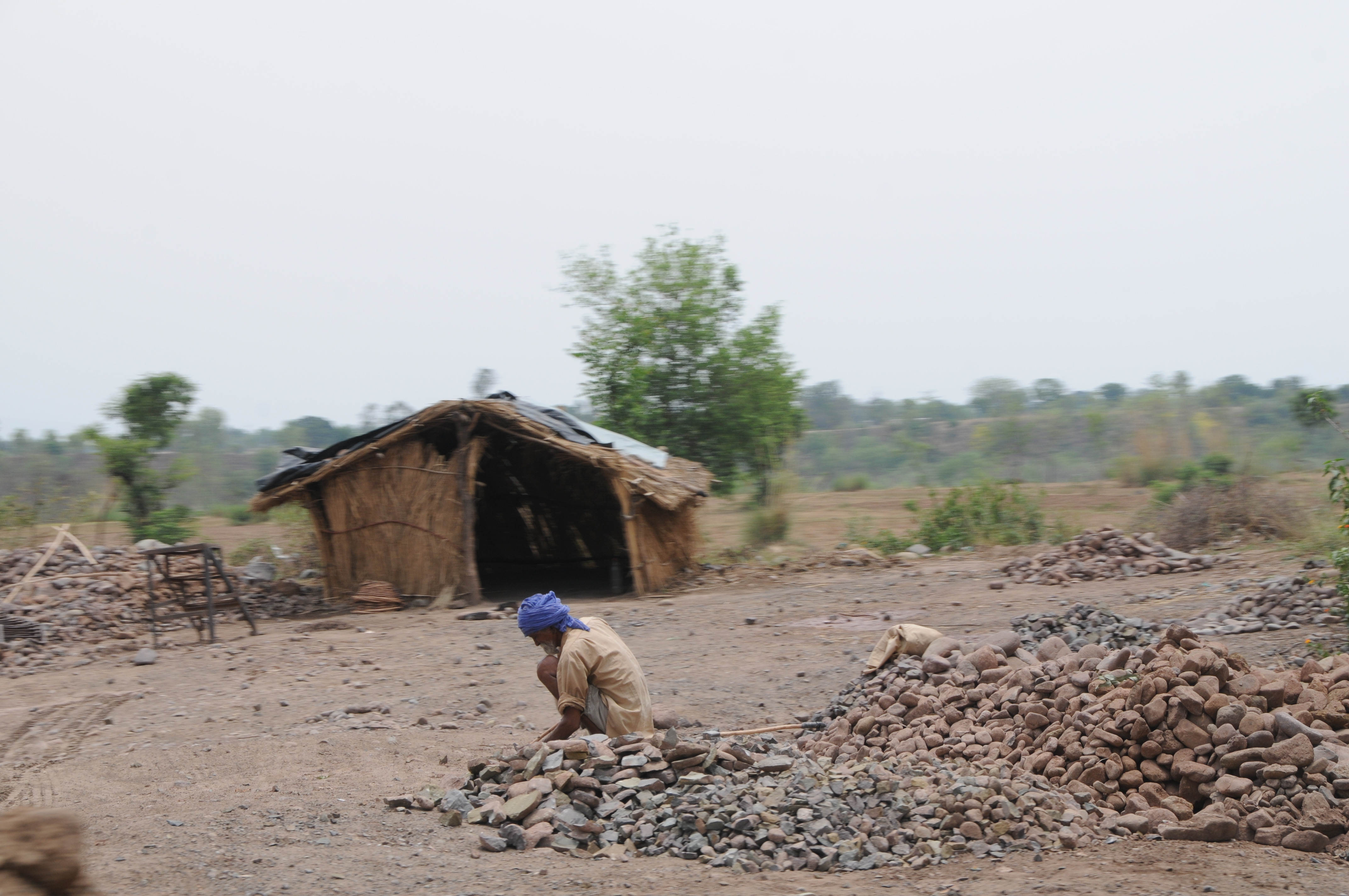
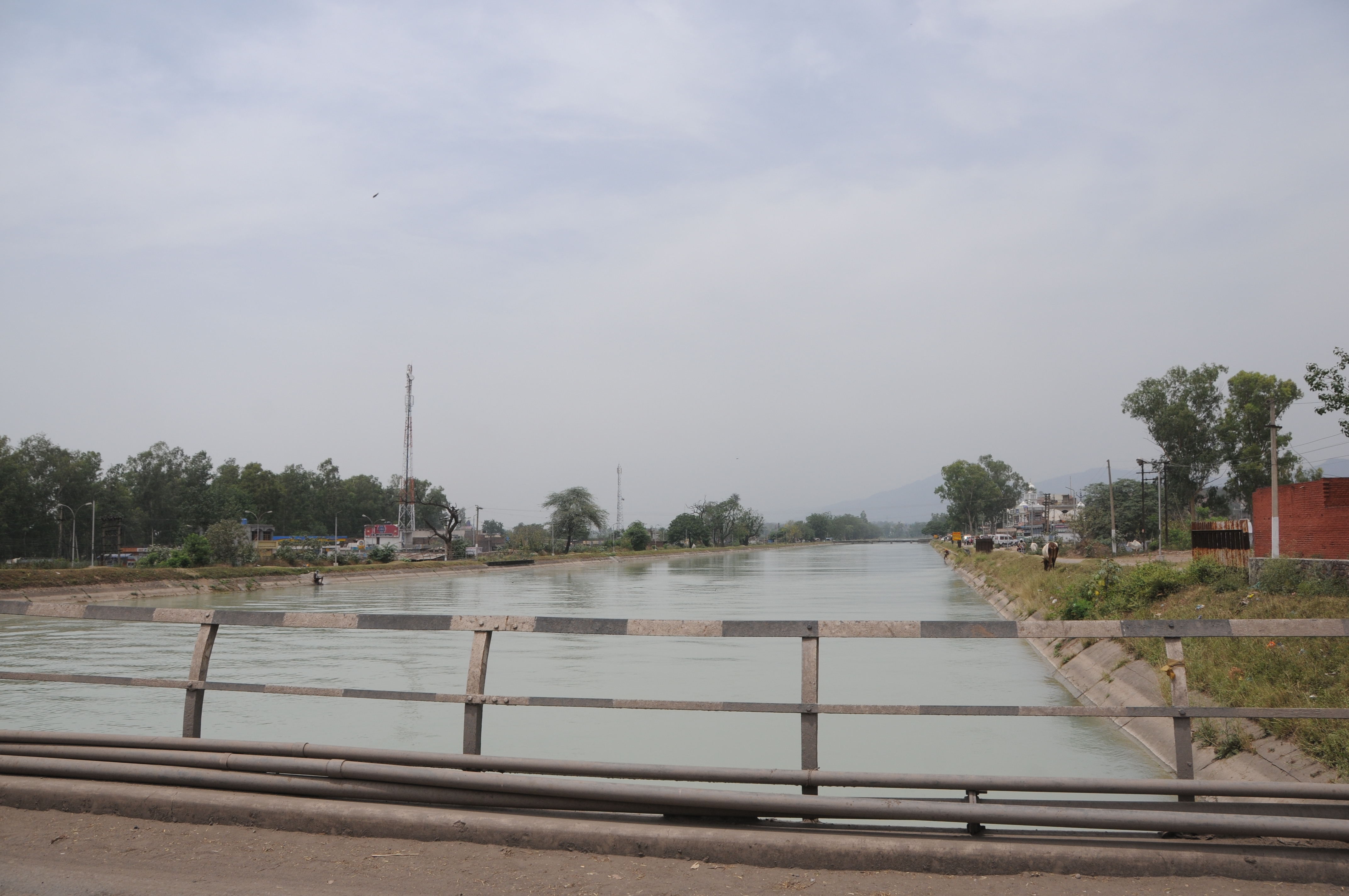
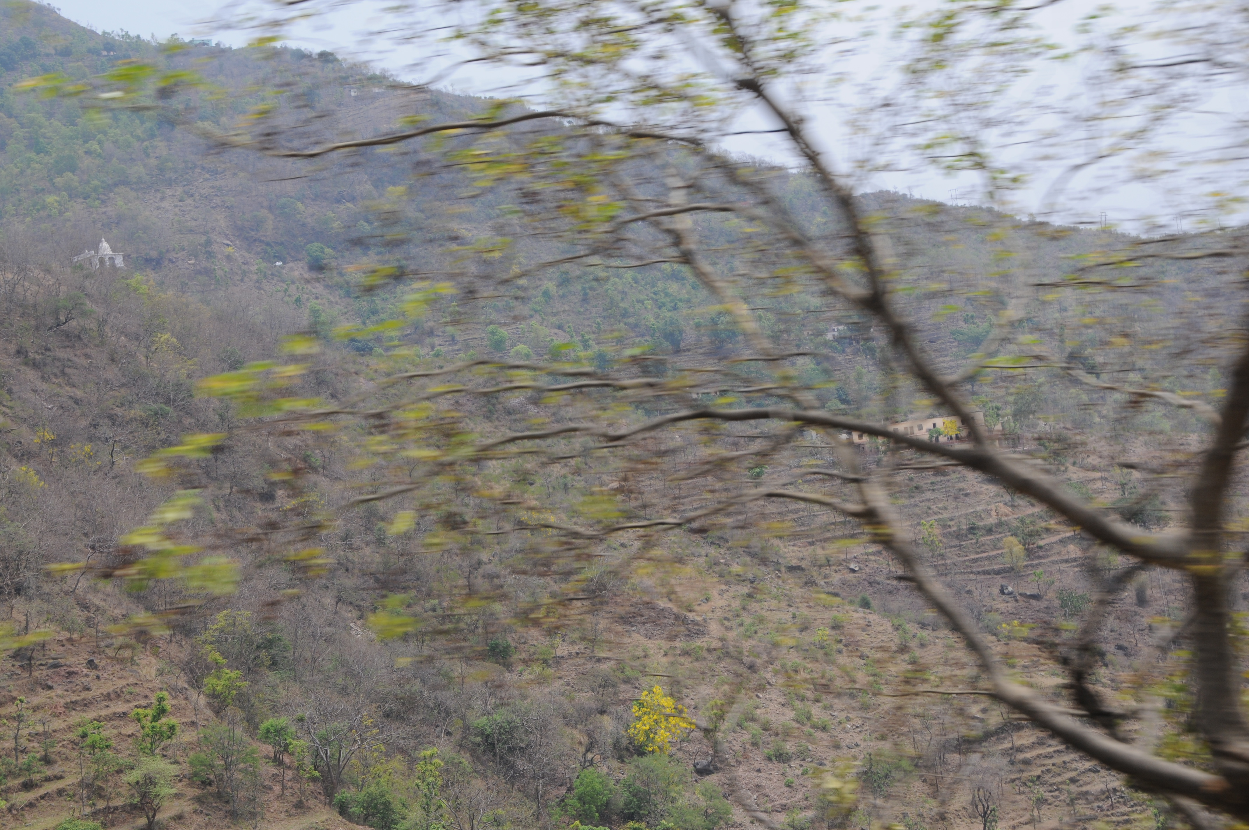
Related Photos:

CSP_2233.JPG
CSP_2232.JPG

CSP_2234.JPG
CSP_2231.JPG

CSP_2235.JPG
CSP_2236.JPG

CSP_2237.JPG
CSP_2230.JPG

India Juli 2012
Himachal Pradesh, India
2013-07-20_17h36m33s
Topographic Map of Anandpur Sahib, Punjab, India
Find elevation by address:

Places near Anandpur Sahib, Punjab, India:
Anandpur Sahib
Nurpur Bedi
Naina Devi
Rupnagar
Jangal Mehduda Bhakhra
Bhakra Dam
Nangal
Bilaspur
Gaj Retreat
Rattanpur
Ropar Rupnagar Bus Stop
Bara Phool
Iit Ropar Main Campus
Rupnagar
Balachaur
Immacule Life Sciences Pvt Ltd
Nalagarh
Karkhana Bela
Bilaspur
Saroya
Recent Searches:
- Elevation of Clifton Down, Clifton, Bristol, City of Bristol, England, BS8 3HU, United Kingdom
- Elevation map of Auvergne-Rhône-Alpes, France
- Elevation map of Upper Savoy, Auvergne-Rhône-Alpes, France
- Elevation of Chamonix-Mont-Blanc, Upper Savoy, Auvergne-Rhône-Alpes, France
- Elevation of 908, Northwood Drive, Bridge Field, Chesapeake, Virginia, 23322, USA
- Elevation map of Nagano Prefecture, Japan
- Elevation of 587, Bascule Drive, Oakdale, Stanislaus County, California, 95361, USA
- Elevation of Stadion Wankdorf, Sempachstrasse, Breitfeld, Bern, Bern-Mittelland administrative district, Bern, 3014, Switzerland
- Elevation of Z024, 76, Emil-von-Behring-Straße, Marbach, Marburg, Landkreis Marburg-Biedenkopf, Hesse, 35041, Germany
- Elevation of Gaskill Road, Hunts Cross, Liverpool, England, L24 9PH, United Kingdom
- Elevation of Speke, Liverpool, England, L24 9HD, United Kingdom
- Elevation of Seqirus, 475, Green Oaks Parkway, Holly Springs, Wake County, North Carolina, 27540, USA
- Elevation of Pasing, Munich, Bavaria, 81241, Germany
- Elevation of 24, Auburn Bay Crescent SE, Auburn Bay, Calgary, Alberta, T3M 0A6, Canada
- Elevation of Denver, 2314, Arapahoe Street, Five Points, Denver, Colorado, 80205, USA
- Elevation of Community of the Beatitudes, 2924, West 43rd Avenue, Sunnyside, Denver, Colorado, 80211, USA
- Elevation map of Litang County, Sichuan, China
- Elevation map of Madoi County, Qinghai, China
- Elevation of 3314, Ohio State Route 114, Payne, Paulding County, Ohio, 45880, USA
- Elevation of Sarahills Drive, Saratoga, Santa Clara County, California, 95070, USA