Elevation map of Nagaon, Assam, India
Location: India > Assam >
Longitude: 92.6983868
Latitude: 26.2996872
Elevation: 71m / 233feet
Barometric Pressure: 100KPa
Elevation Map:
Satellite Map:
Related Photos:

Weather Changing!

In The Sky!

Paddy field Assam

The Side B
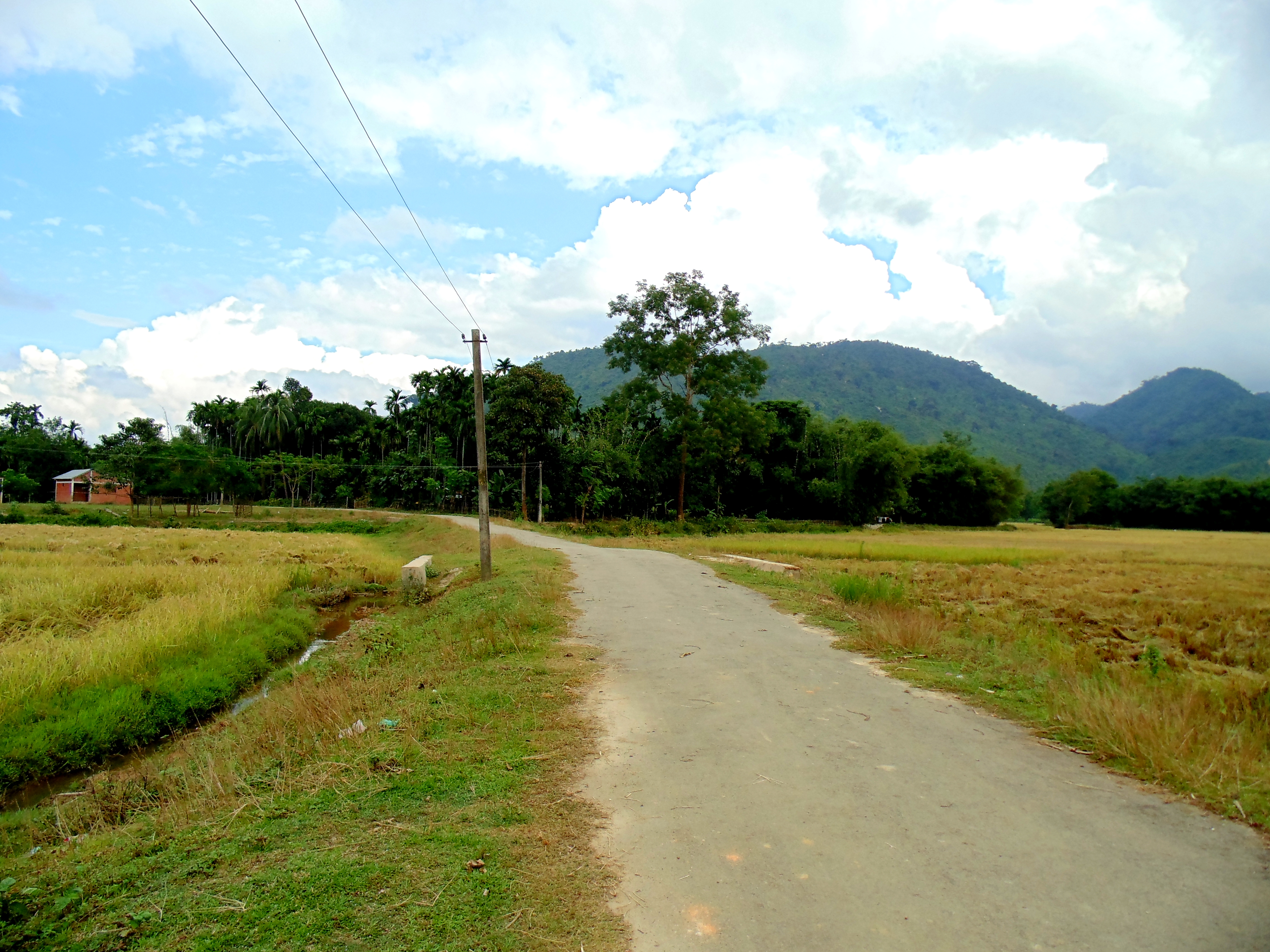
Assam countryside 2
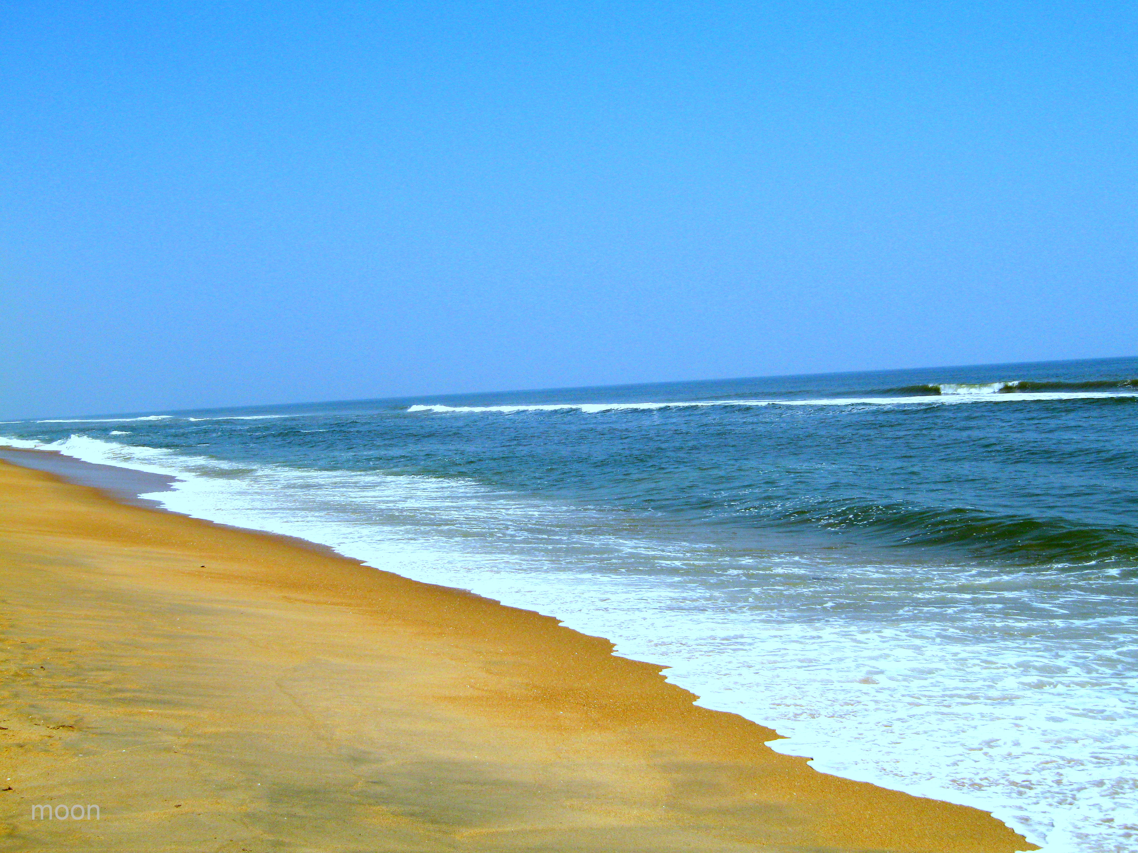
Bay of Bengal Sea

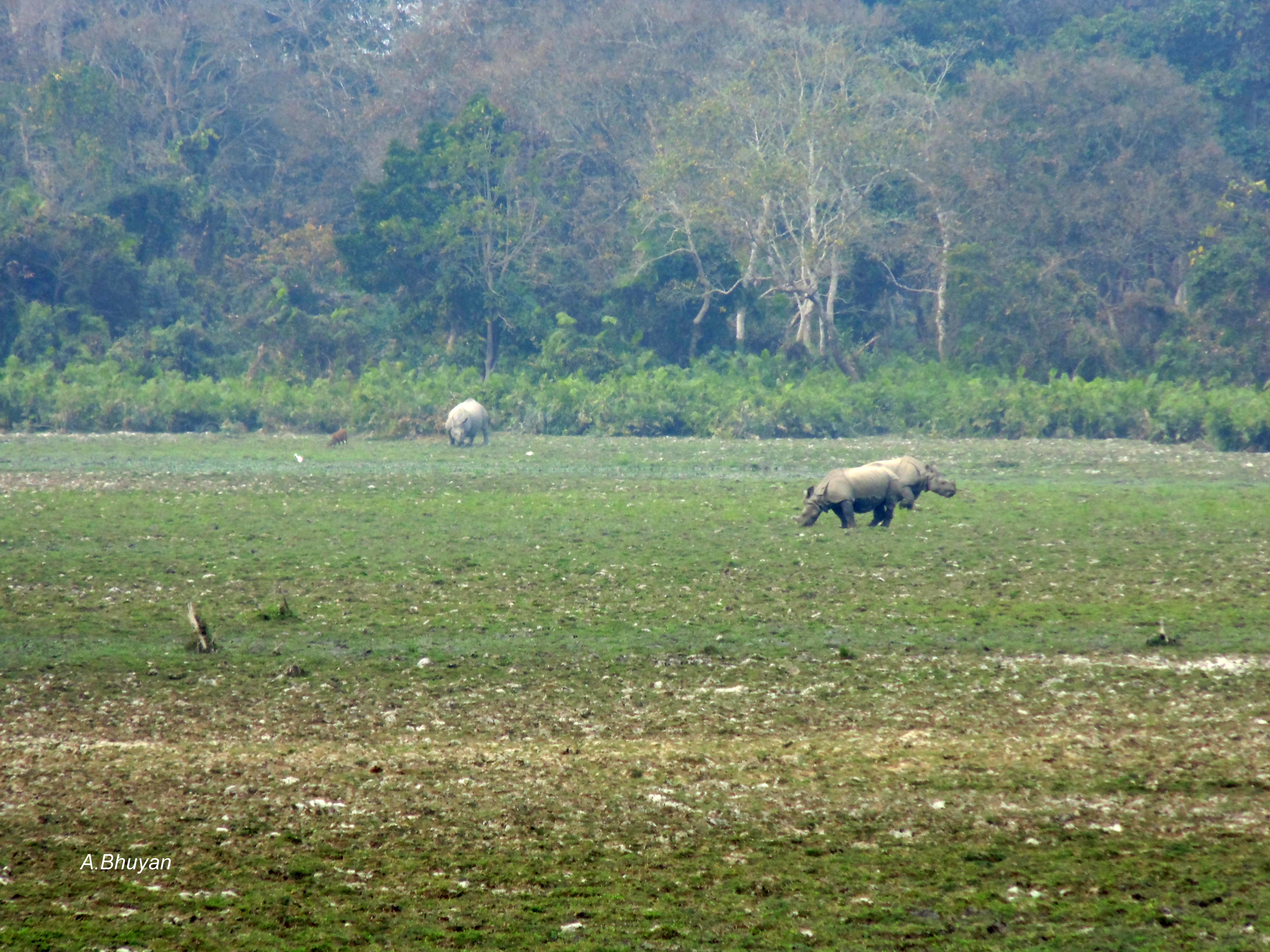
One-horned: Kaziranga National Park!!
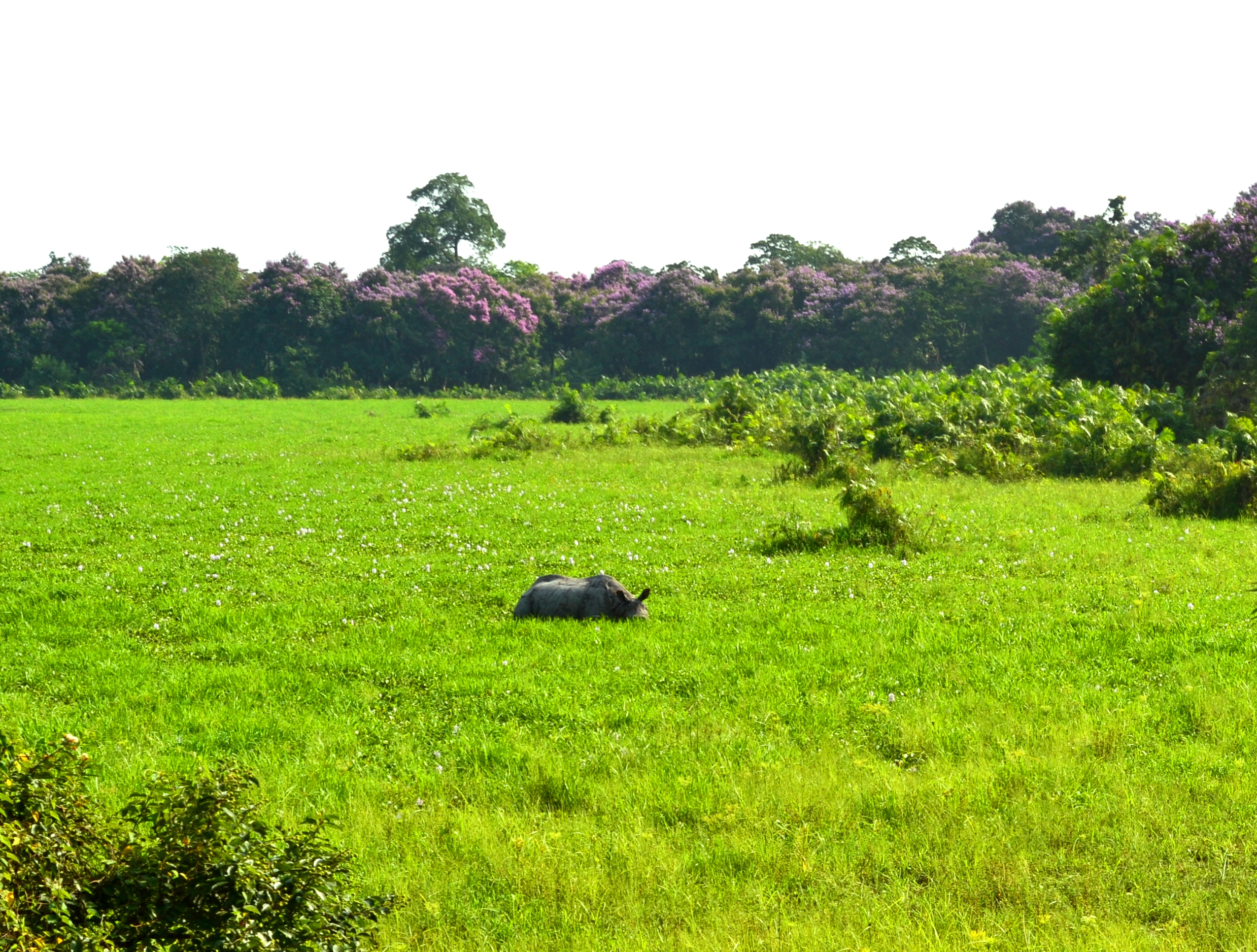
Rhino in Kaziranga
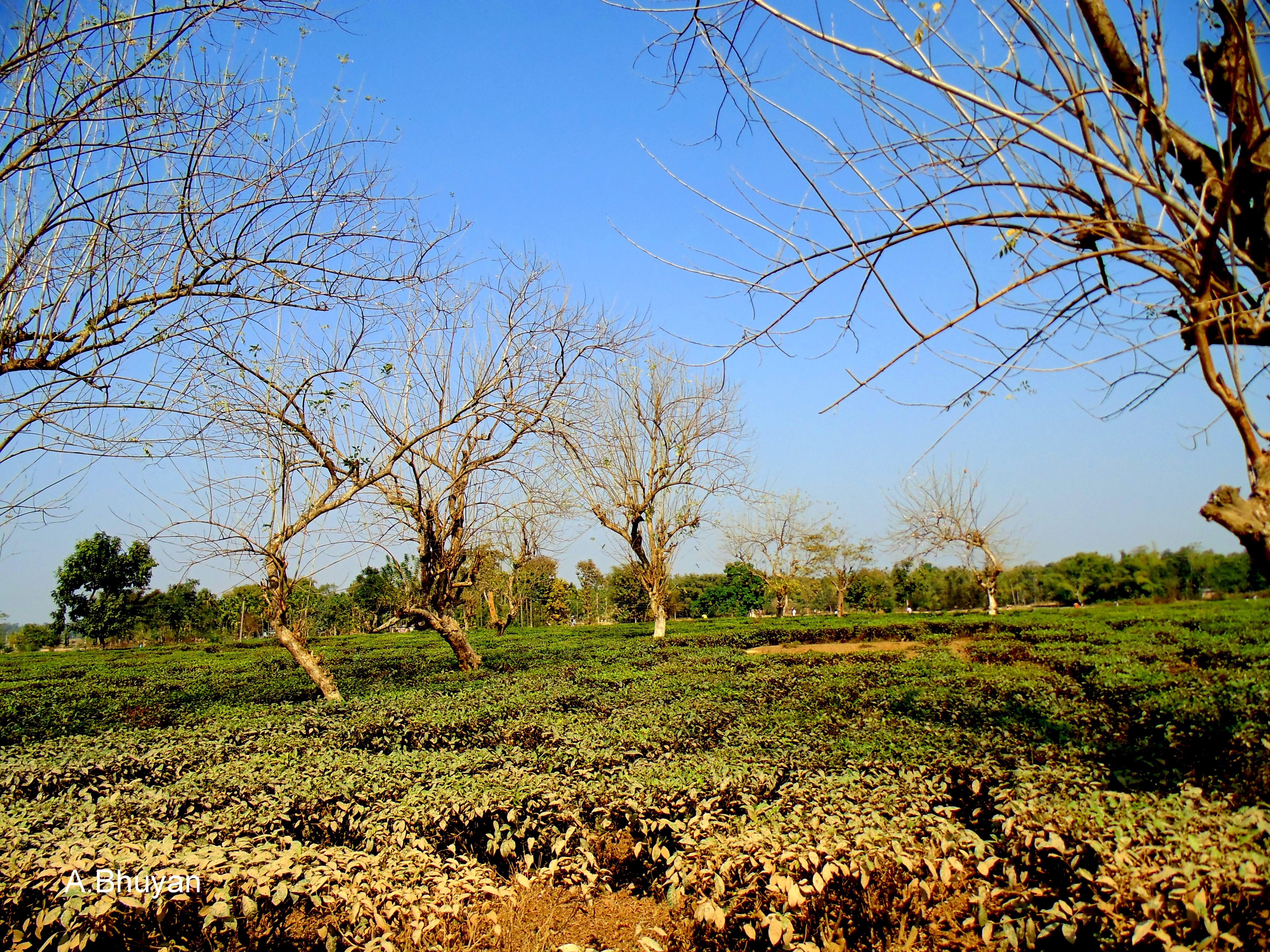
Tea Garden, A New Look!! Assam, India.
Kaziranga National Park!!
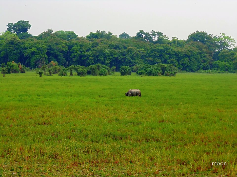
One-horned rhinoceros+ Nagaon, Assam, India
Topographic Map of Nagaon, Assam, India
Find elevation by address:

Places in Nagaon, Assam, India:
Places near Nagaon, Assam, India:
Nagaon
Morigaon
Brahmaputra Valley
Morigaon
Hamren
Pabitara
Pobitora ???? Wildlife Sanctuary
Darrang
Umrangso Golf Course
Dikrongmabra
Ri-bhoi
West Jaintia Hills
Khanapara
Umling
Dispur
Aseb Road
Ulubari
Guwahati
Gauripur
Umiam
Recent Searches:
- Elevation of Corso Fratelli Cairoli, 35, Macerata MC, Italy
- Elevation of Tallevast Rd, Sarasota, FL, USA
- Elevation of 4th St E, Sonoma, CA, USA
- Elevation of Black Hollow Rd, Pennsdale, PA, USA
- Elevation of Oakland Ave, Williamsport, PA, USA
- Elevation of Pedrógão Grande, Portugal
- Elevation of Klee Dr, Martinsburg, WV, USA
- Elevation of Via Roma, Pieranica CR, Italy
- Elevation of Tavkvetili Mountain, Georgia
- Elevation of Hartfords Bluff Cir, Mt Pleasant, SC, USA