Elevation of Morigaon, Assam, India
Location: India > Assam > Morigaon >
Longitude: 92.336955
Latitude: 26.2528853
Elevation: 58m / 190feet
Barometric Pressure: 101KPa
Elevation Map:
Satellite Map:
Related Photos:

Lesser Adjutant Stork
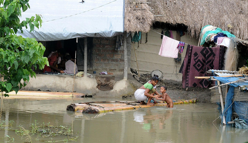
Day 101 Assam India flood worsens

20140203092903_X-E1_DSCF5680

20140203092932_X-E1_DSCF5681
Topographic Map of Morigaon, Assam, India
Find elevation by address:

Places near Morigaon, Assam, India:
Morigaon
Pabitara
Pobitora ???? Wildlife Sanctuary
Nagaon
Brahmaputra Valley
Nagaon
Darrang
Hamren
Khanapara
Ri-bhoi
Umling
Dispur
Aseb Road
Ulubari
Guwahati
Gauripur
Kali Mandir
Nursery
Bhubaneswari Temple
Bhubneswari Temple Viewpoint
Recent Searches:
- Elevation of Corso Fratelli Cairoli, 35, Macerata MC, Italy
- Elevation of Tallevast Rd, Sarasota, FL, USA
- Elevation of 4th St E, Sonoma, CA, USA
- Elevation of Black Hollow Rd, Pennsdale, PA, USA
- Elevation of Oakland Ave, Williamsport, PA, USA
- Elevation of Pedrógão Grande, Portugal
- Elevation of Klee Dr, Martinsburg, WV, USA
- Elevation of Via Roma, Pieranica CR, Italy
- Elevation of Tavkvetili Mountain, Georgia
- Elevation of Hartfords Bluff Cir, Mt Pleasant, SC, USA