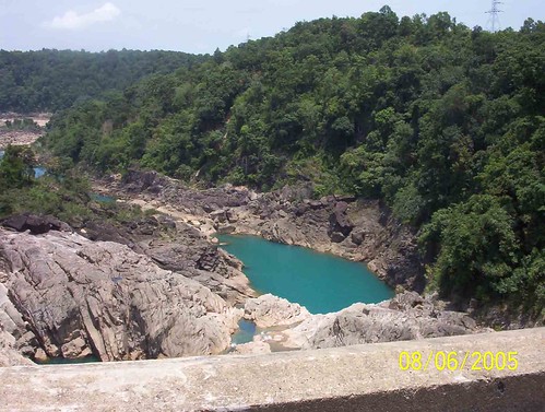
Elevation of Dikrongmabra, Assam, India
Location: India > Assam > Dima Hasao >
Longitude: 92.678848
Latitude: 25.485411
Elevation: 607m / 1991feet
Barometric Pressure: 94KPa
Related Photos:
Topographic Map of Dikrongmabra, Assam, India
Find elevation by address:

Places near Dikrongmabra, Assam, India:
Umrangso Golf Course
West Jaintia Hills
Hamren
Wahrashi Falls (syntung)
Syntung
Umiam
Ri-bhoi
National Institute Of Technology, Meghalaya
Nit Meghalaya
Shillong
Umiam Lake
Police Bazar
Police Bazar Point
Umiam Lake
Bara Bazar
Gorkha Durga Temple
Upper Mawprem
Nagaon
Lummawbah
Mawsynram-shillong Road
Recent Searches:
- Elevation of Corso Fratelli Cairoli, 35, Macerata MC, Italy
- Elevation of Tallevast Rd, Sarasota, FL, USA
- Elevation of 4th St E, Sonoma, CA, USA
- Elevation of Black Hollow Rd, Pennsdale, PA, USA
- Elevation of Oakland Ave, Williamsport, PA, USA
- Elevation of Pedrógão Grande, Portugal
- Elevation of Klee Dr, Martinsburg, WV, USA
- Elevation of Via Roma, Pieranica CR, Italy
- Elevation of Tavkvetili Mountain, Georgia
- Elevation of Hartfords Bluff Cir, Mt Pleasant, SC, USA
