Elevation of Nadiad, Gujarat, India
Location: India > Gujarat > Kheda >
Longitude: 72.8633635
Latitude: 22.6915853
Elevation: 36m / 118feet
Barometric Pressure: 0KPa
Related Photos:

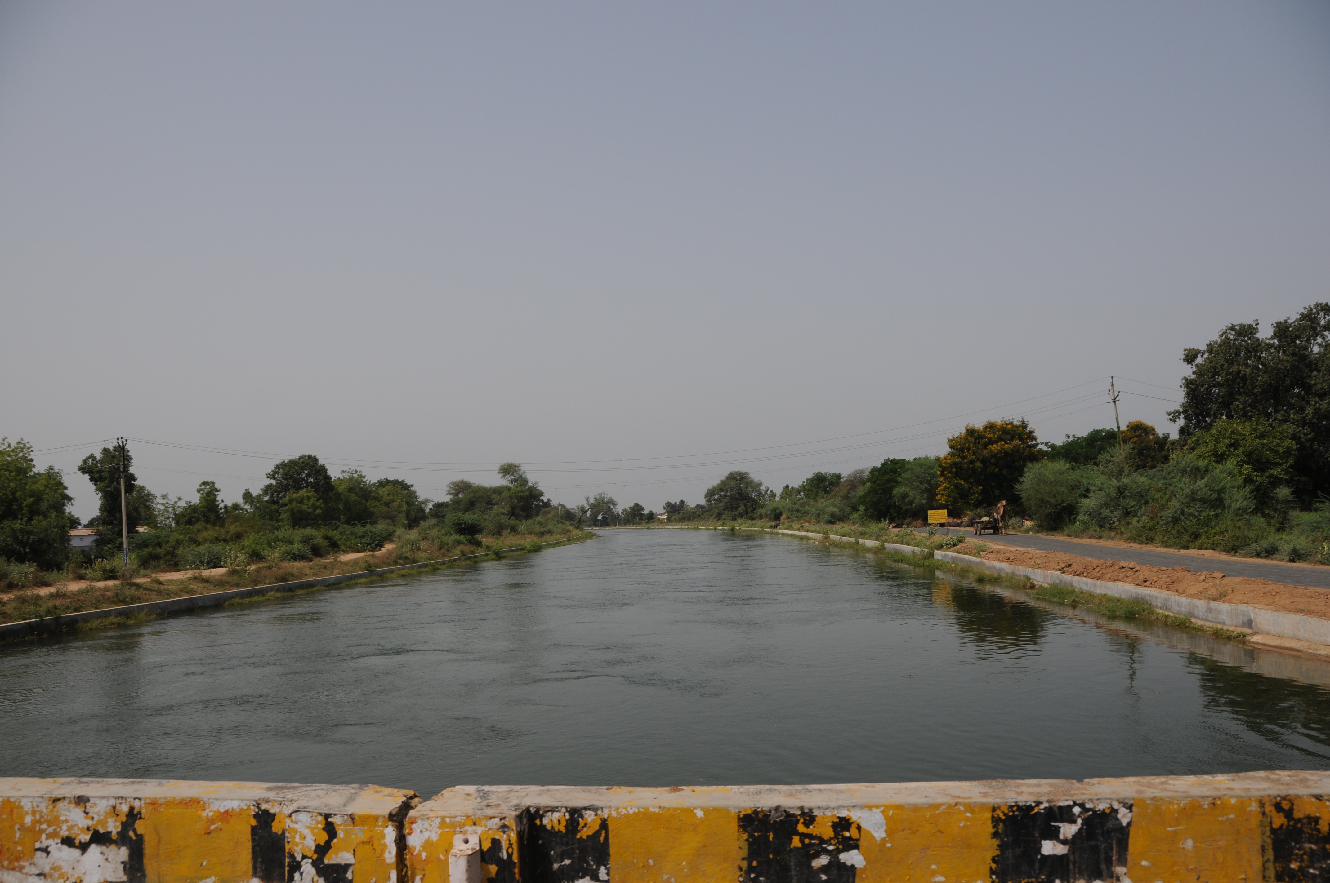
CSP_6703.JPG

Arial View
CSP_6698.JPG

CSP_6704.JPG

CSP_6705.JPG

CSP_6702.JPG

CSP_6700.JPG

_MG_2877 DS Small

Need ID

_MG_2699 DS Small

Sunset over Gujarat

On the road
Topographic Map of Nadiad, Gujarat, India
Find elevation by address:

Places near Nadiad, Gujarat, India:
Anand
Kheda
Umreth
Kheda
Kujad
Kanbha-kujad Old Bridge
Kanbha Gurukul
Kanbha
Paldi
Kankaria Lake
Ahmedabad Railway Station
Ahmedabad Railway Station
Ahmedabad Railway Station
Ahmedabad
Ahmedabad
Sardar Vallabhbhai Patel International Airport
Mahatma Gandhi International School
Kalyan Society, Maharashtra Society
Hansol
Bemanagar
Recent Searches:
- Elevation of Denver, 2314, Arapahoe Street, Five Points, Denver, Colorado, 80205, USA
- Elevation of Community of the Beatitudes, 2924, West 43rd Avenue, Sunnyside, Denver, Colorado, 80211, USA
- Elevation map of Litang County, Sichuan, China
- Elevation map of Madoi County, Qinghai, China
- Elevation of 3314, Ohio State Route 114, Payne, Paulding County, Ohio, 45880, USA
- Elevation of Sarahills Drive, Saratoga, Santa Clara County, California, 95070, USA
- Elevation of Town of Bombay, Franklin County, New York, USA
- Elevation of 9, Convent Lane, Center Moriches, Suffolk County, New York, 11934, USA
- Elevation of Saint Angelas Convent, 9, Convent Lane, Center Moriches, Suffolk County, New York, 11934, USA
- Elevation of 131st Street Southwest, Mukilteo, Snohomish County, Washington, 98275, USA
- Elevation of 304, Harrison Road, Naples, Cumberland County, Maine, 04055, USA
- Elevation of 2362, Timber Ridge Road, Harrisburg, Cabarrus County, North Carolina, 28075, USA
- Elevation of Ridge Road, Marshalltown, Marshall County, Iowa, 50158, USA
- Elevation of 2459, Misty Shadows Drive, Pigeon Forge, Sevier County, Tennessee, 37862, USA
- Elevation of 8043, Brightwater Way, Spring Hill, Williamson County, Tennessee, 37179, USA
- Elevation of Starkweather Road, San Luis, Costilla County, Colorado, 81152, USA
- Elevation of 5277, Woodside Drive, Baton Rouge, East Baton Rouge Parish, Louisiana, 70808, USA
- Elevation of 1139, Curtin Street, Shepherd Park Plaza, Houston, Harris County, Texas, 77018, USA
- Elevation of 136, Sellers Lane, Repton, Monroe County, Alabama, 36475, USA
- Elevation of 12914, Elmington Drive, Lakewood Forest, Houston, Harris County, Texas, 77429, USA