Elevation of Anand, Gujarat, India
Location: India > Gujarat > Anand >
Longitude: 72.928871
Latitude: 22.5645175
Elevation: 40m / 131feet
Barometric Pressure: 0KPa
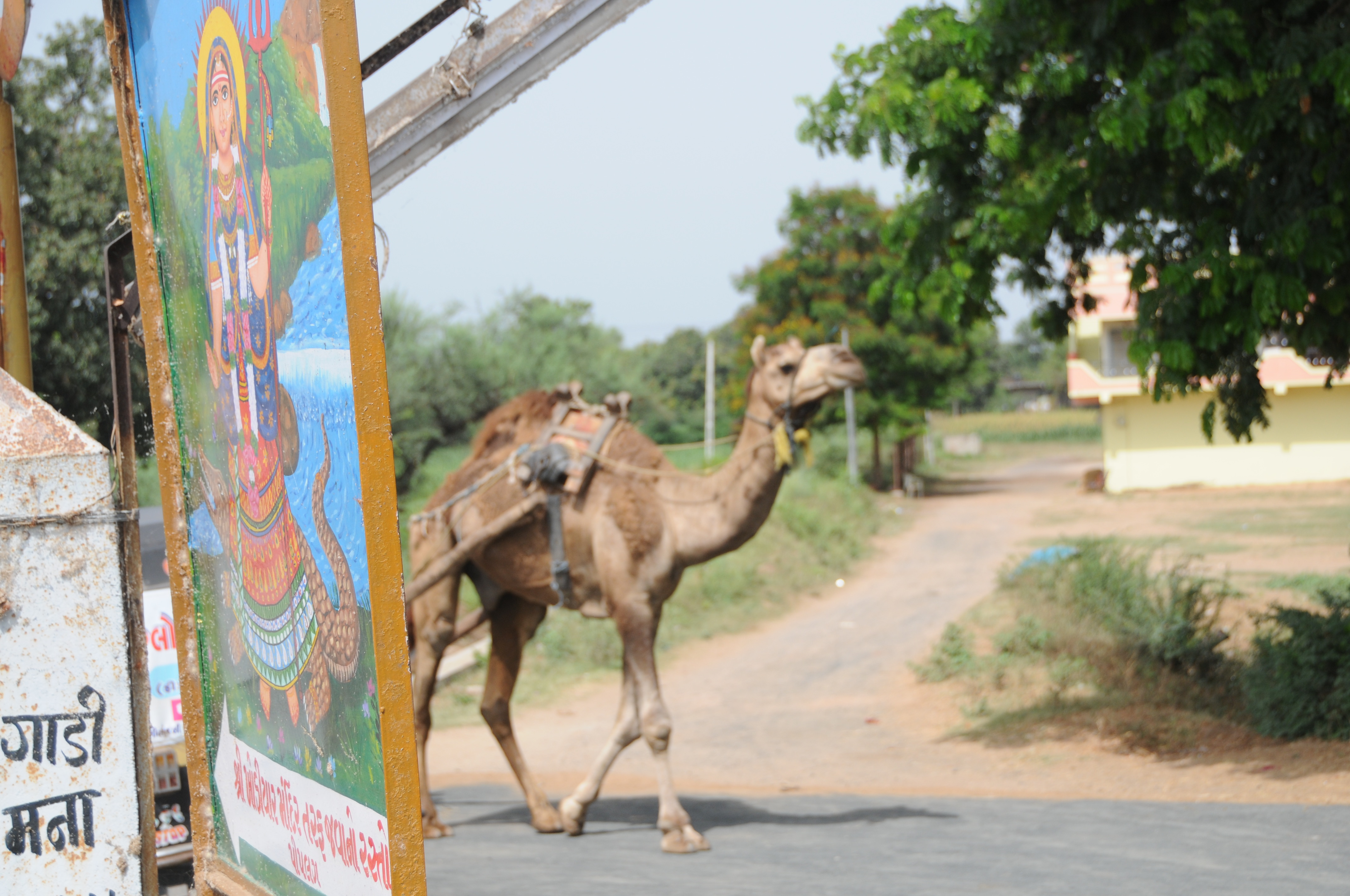
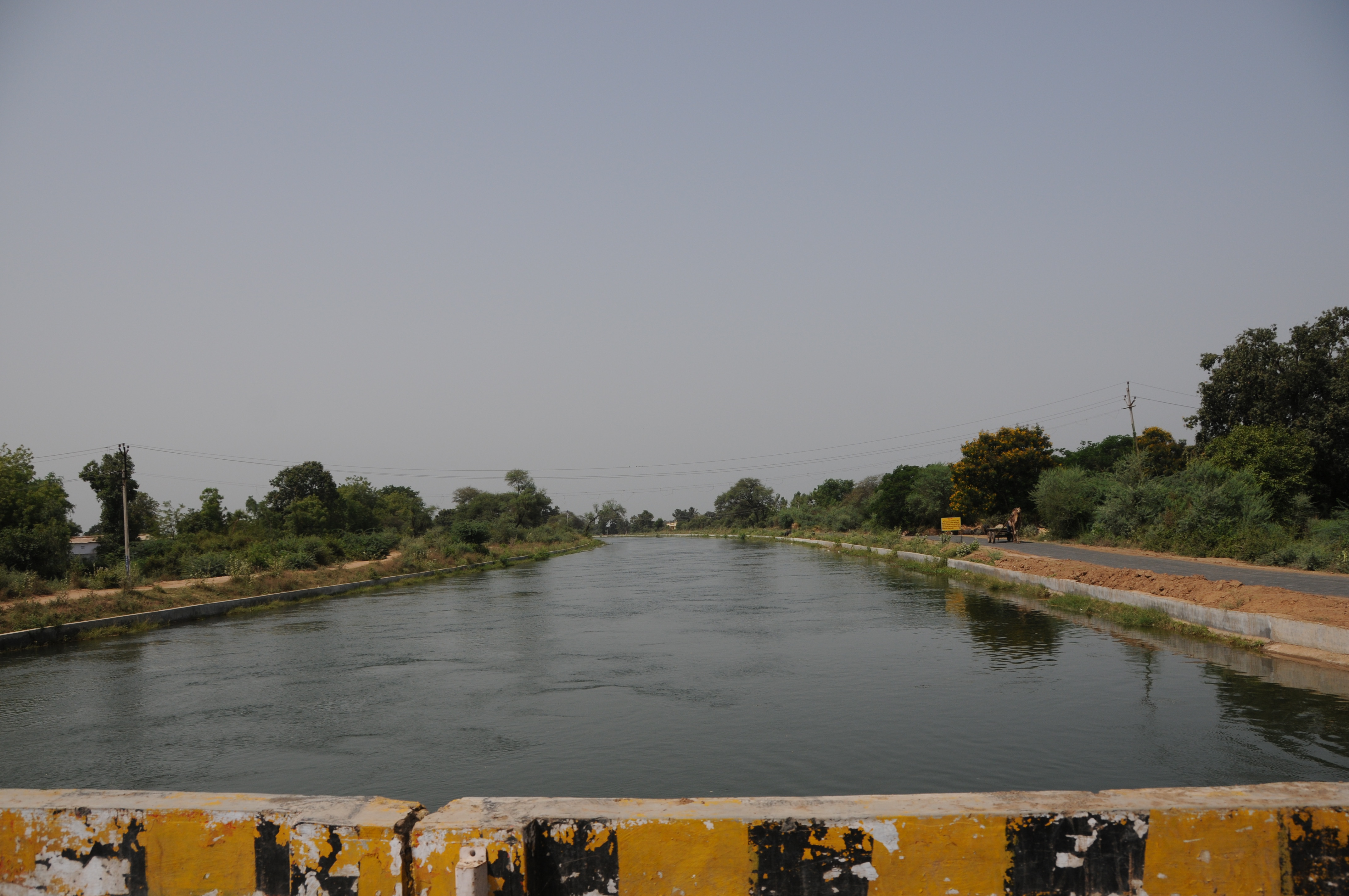
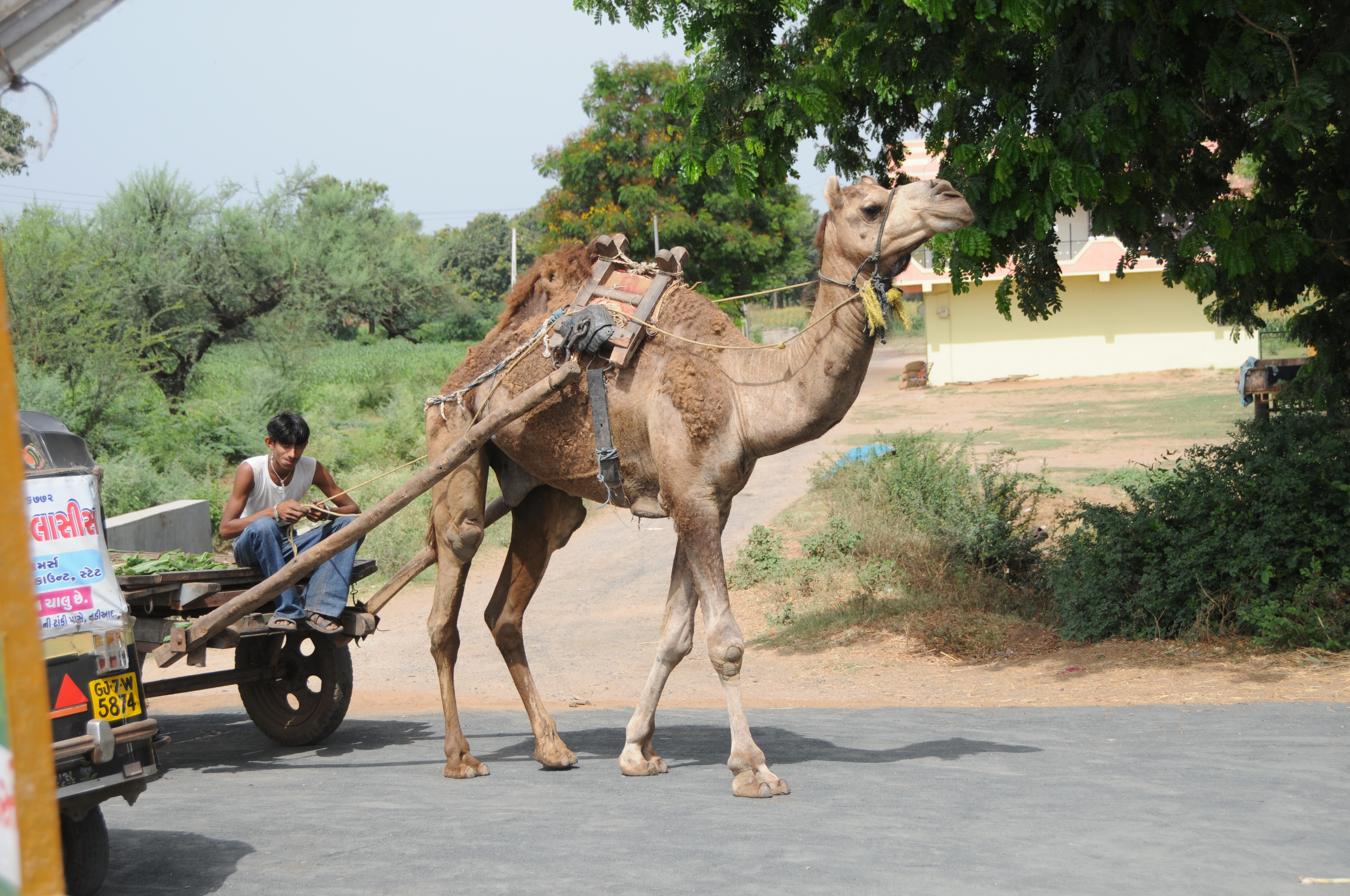
Related Photos:

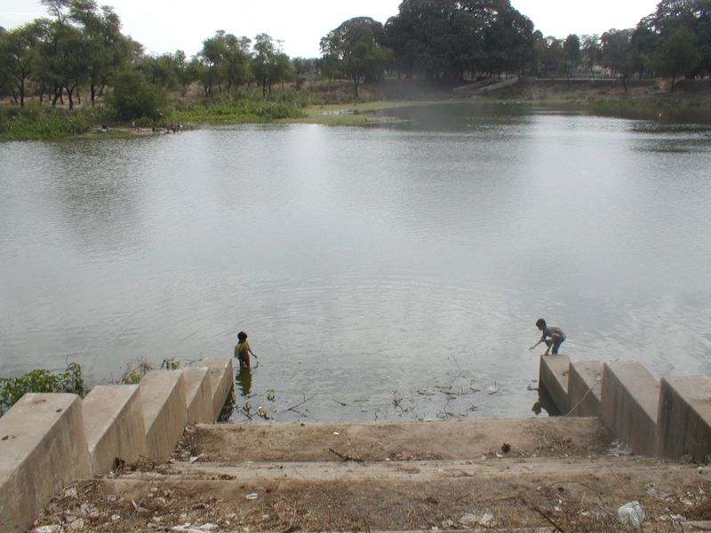
Colorful View #NoteEdge
CSP_6704.JPG

CSP_6703.JPG
CSP_6698.JPG
CSP_6705.JPG
CSP_6702.JPG

CSP_6700.JPG

reflection all over
pintu-16
###
Topographic Map of Anand, Gujarat, India
Find elevation by address:

Places near Anand, Gujarat, India:
Nadiad
Umreth
Kheda
Kheda
Kujad
Kanbha-kujad Old Bridge
Kanbha Gurukul
Kanbha
Paldi
Kankaria Lake
Ahmedabad Railway Station
Ahmedabad Railway Station
Ahmedabad Railway Station
Ahmedabad
Ahmedabad
Mahatma Gandhi International School
Kalyan Society, Maharashtra Society
Sardar Vallabhbhai Patel International Airport
Bemanagar
Hansol
Recent Searches:
- Elevation map of Greenland, Greenland
- Elevation of Sullivan Hill, New York, New York, 10002, USA
- Elevation of Morehead Road, Withrow Downs, Charlotte, Mecklenburg County, North Carolina, 28262, USA
- Elevation of 2800, Morehead Road, Withrow Downs, Charlotte, Mecklenburg County, North Carolina, 28262, USA
- Elevation of Yangbi Yi Autonomous County, Yunnan, China
- Elevation of Pingpo, Yangbi Yi Autonomous County, Yunnan, China
- Elevation of Mount Malong, Pingpo, Yangbi Yi Autonomous County, Yunnan, China
- Elevation map of Yongping County, Yunnan, China
- Elevation of North 8th Street, Palatka, Putnam County, Florida, 32177, USA
- Elevation of 107, Big Apple Road, East Palatka, Putnam County, Florida, 32131, USA
- Elevation of Jiezi, Chongzhou City, Sichuan, China
- Elevation of Chongzhou City, Sichuan, China
- Elevation of Huaiyuan, Chongzhou City, Sichuan, China
- Elevation of Qingxia, Chengdu, Sichuan, China
- Elevation of Corso Fratelli Cairoli, 35, Macerata MC, Italy
- Elevation of Tallevast Rd, Sarasota, FL, USA
- Elevation of 4th St E, Sonoma, CA, USA
- Elevation of Black Hollow Rd, Pennsdale, PA, USA
- Elevation of Oakland Ave, Williamsport, PA, USA
- Elevation of Pedrógão Grande, Portugal