Elevation of Kheda, Gujarat, India
Location: India > Gujarat > Kheda >
Longitude: 72.6846658
Latitude: 22.750651
Elevation: 34m / 112feet
Barometric Pressure: 0KPa
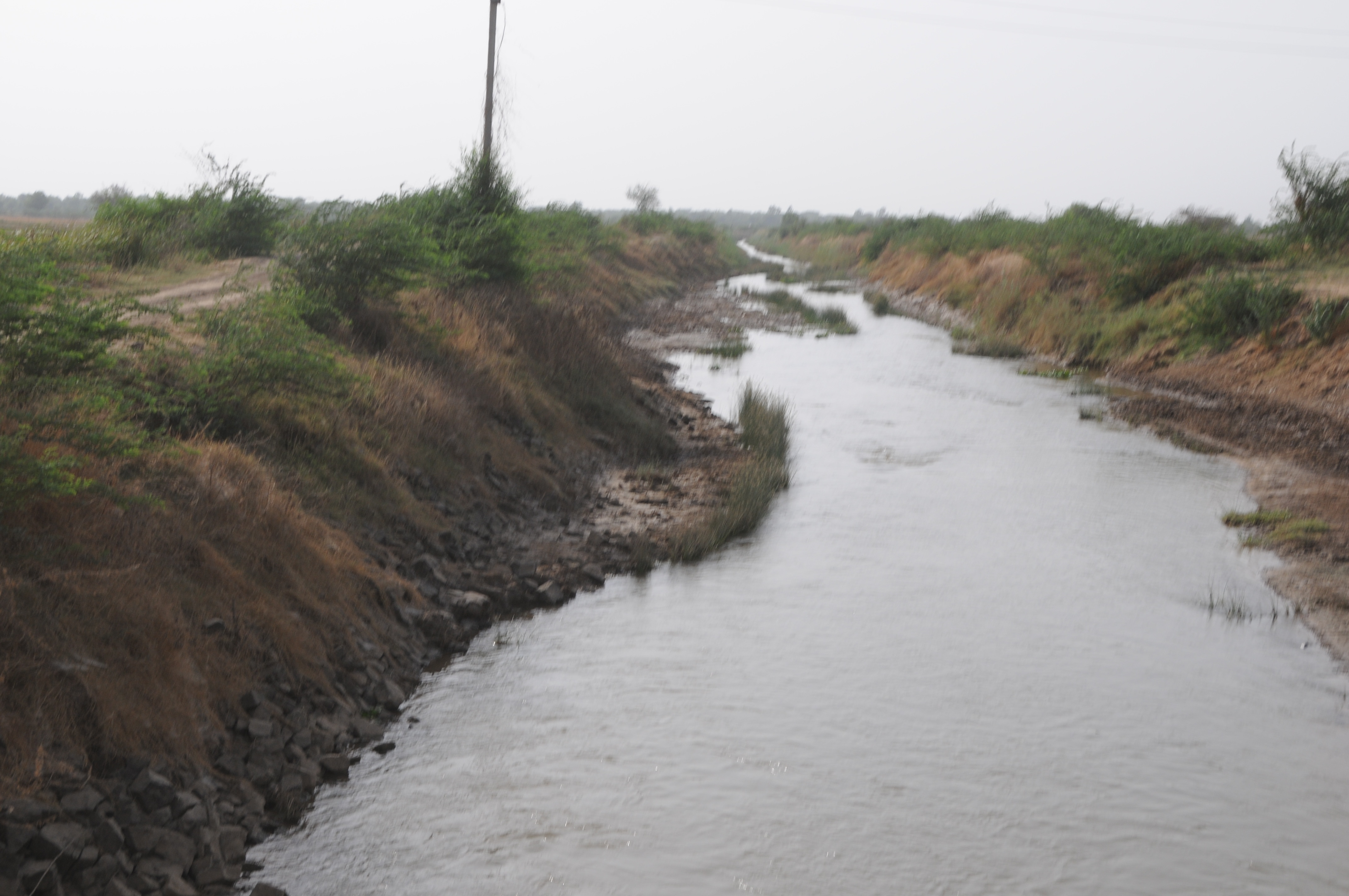
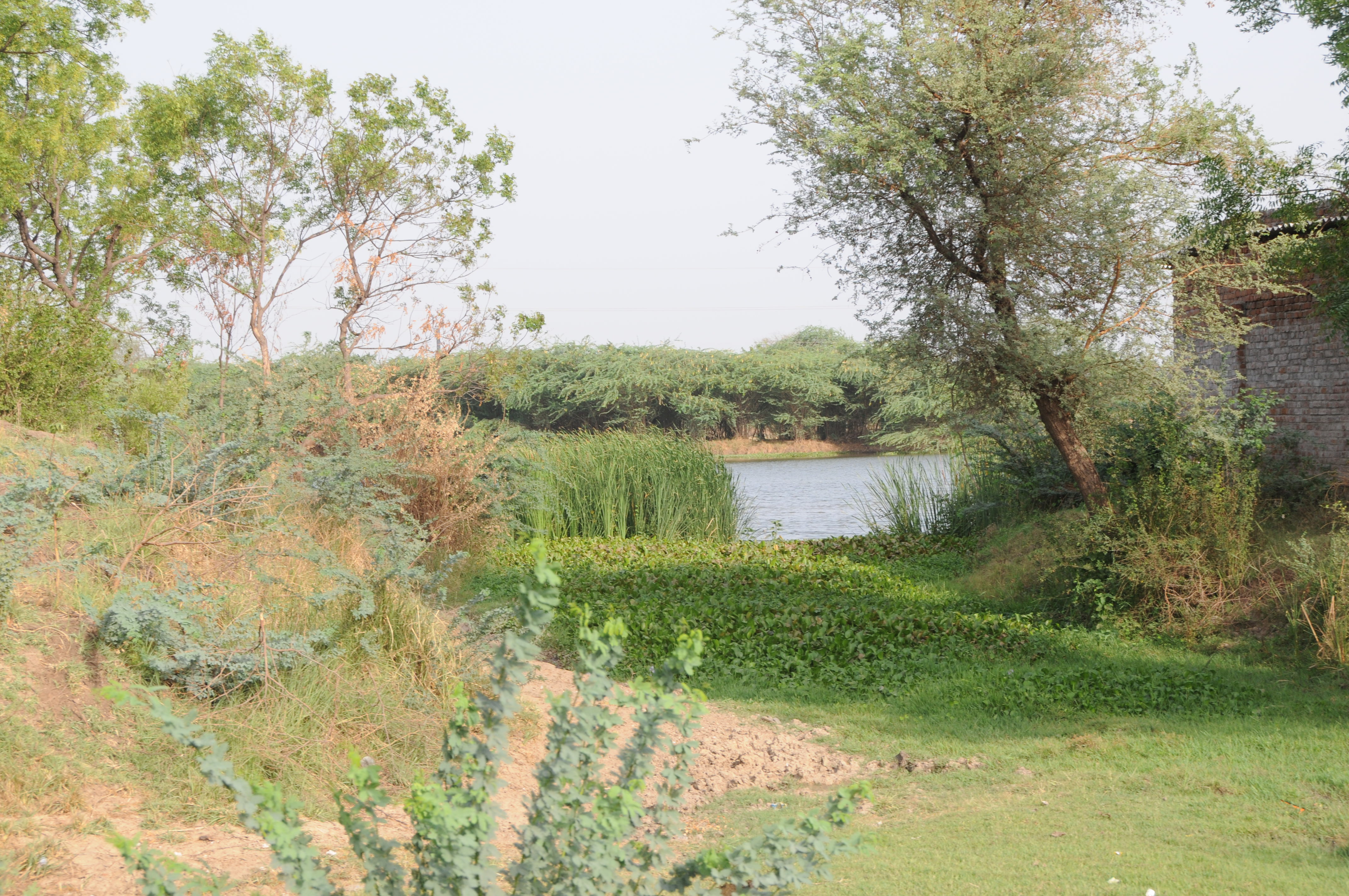
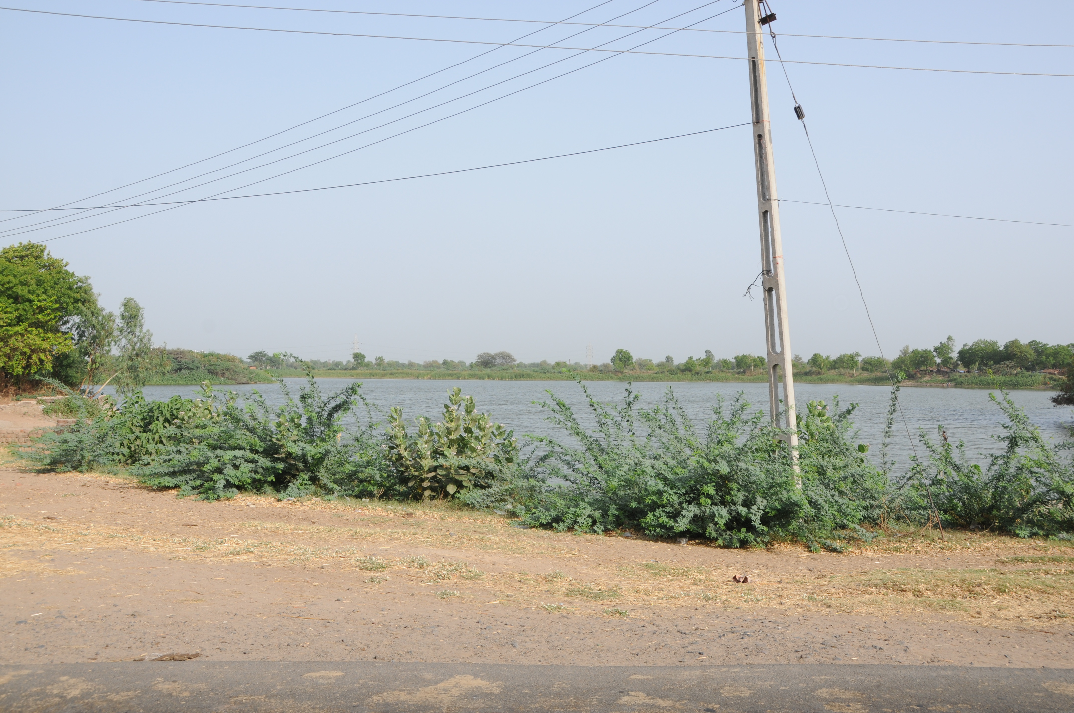
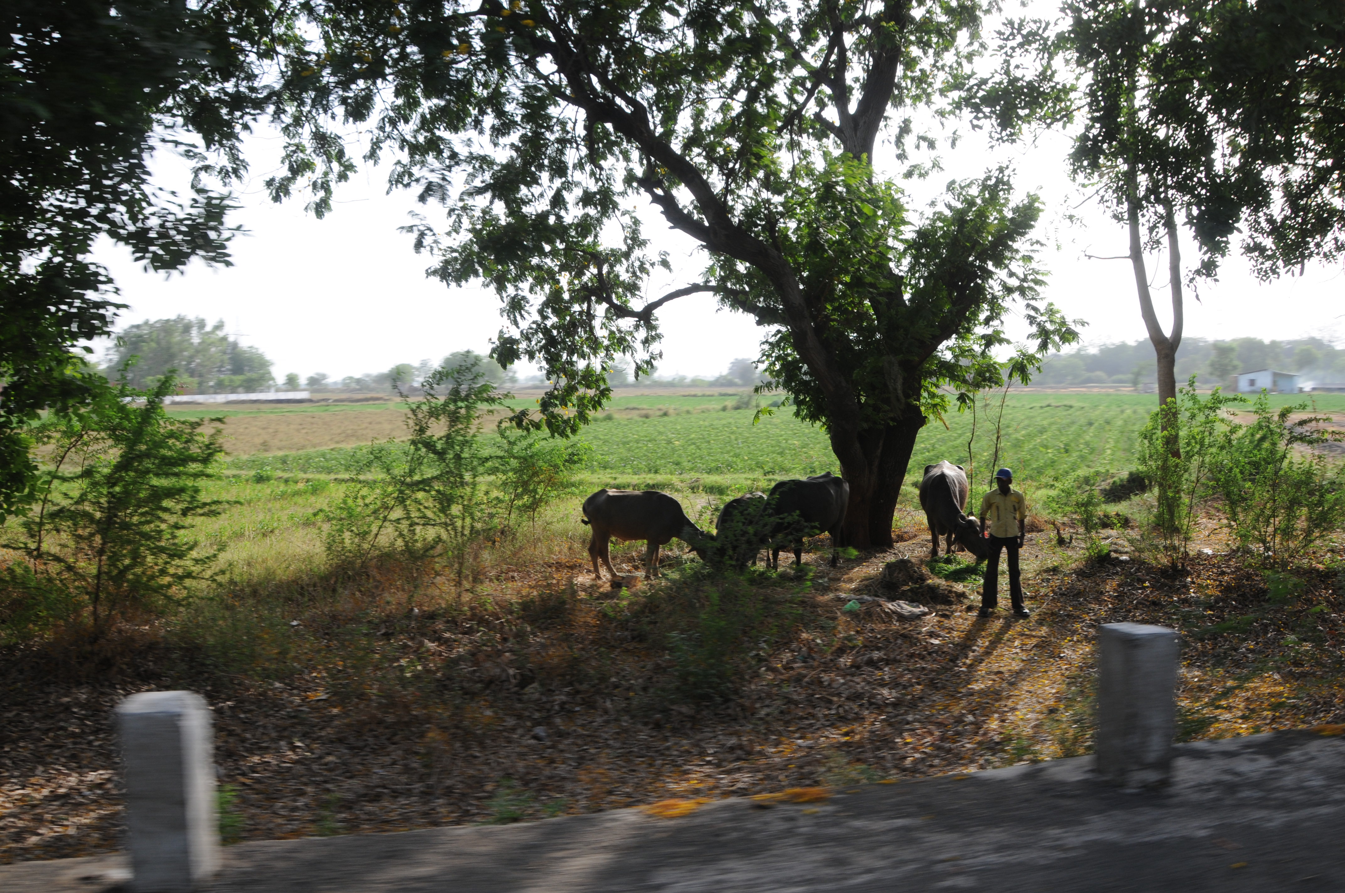
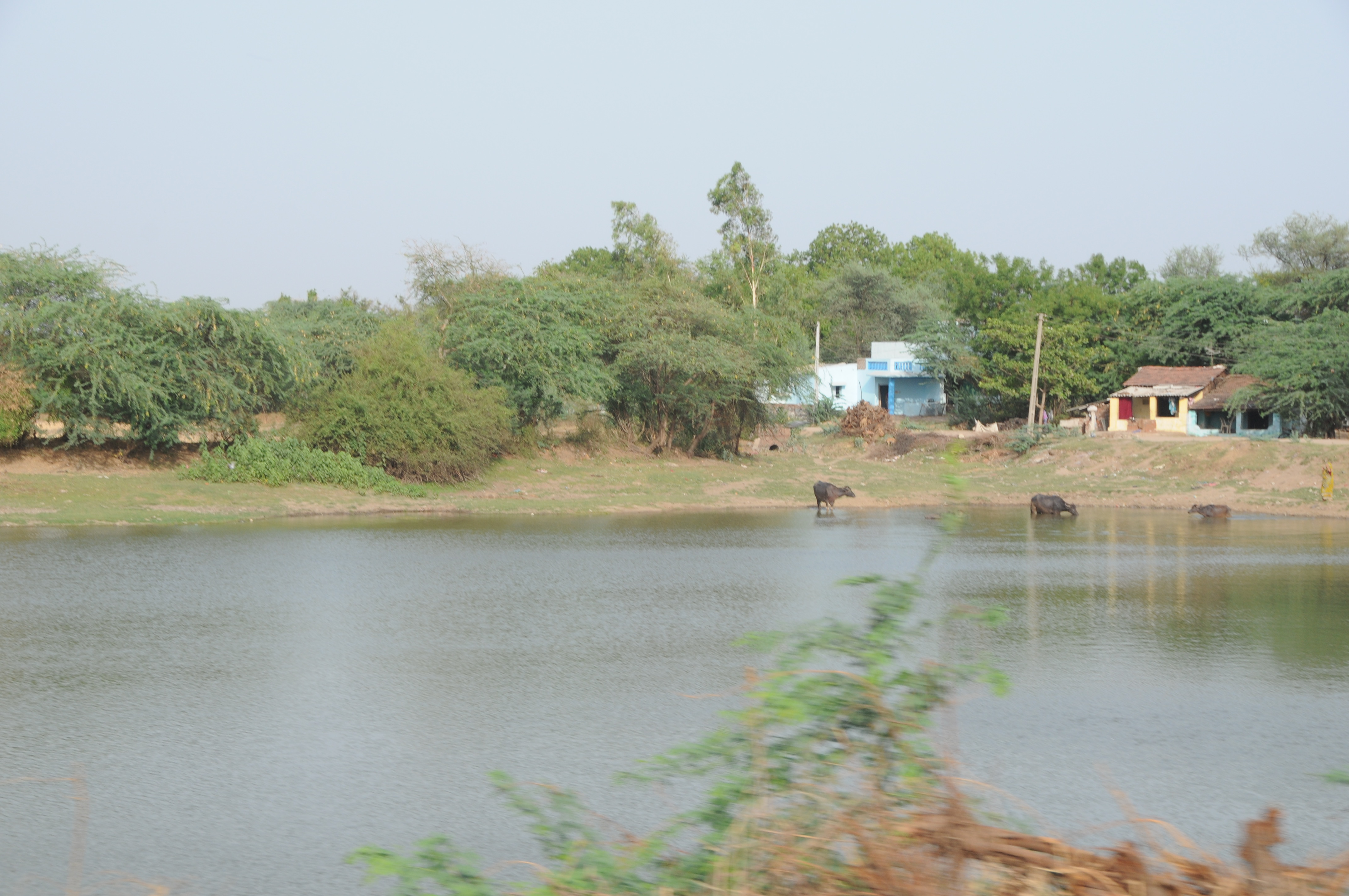
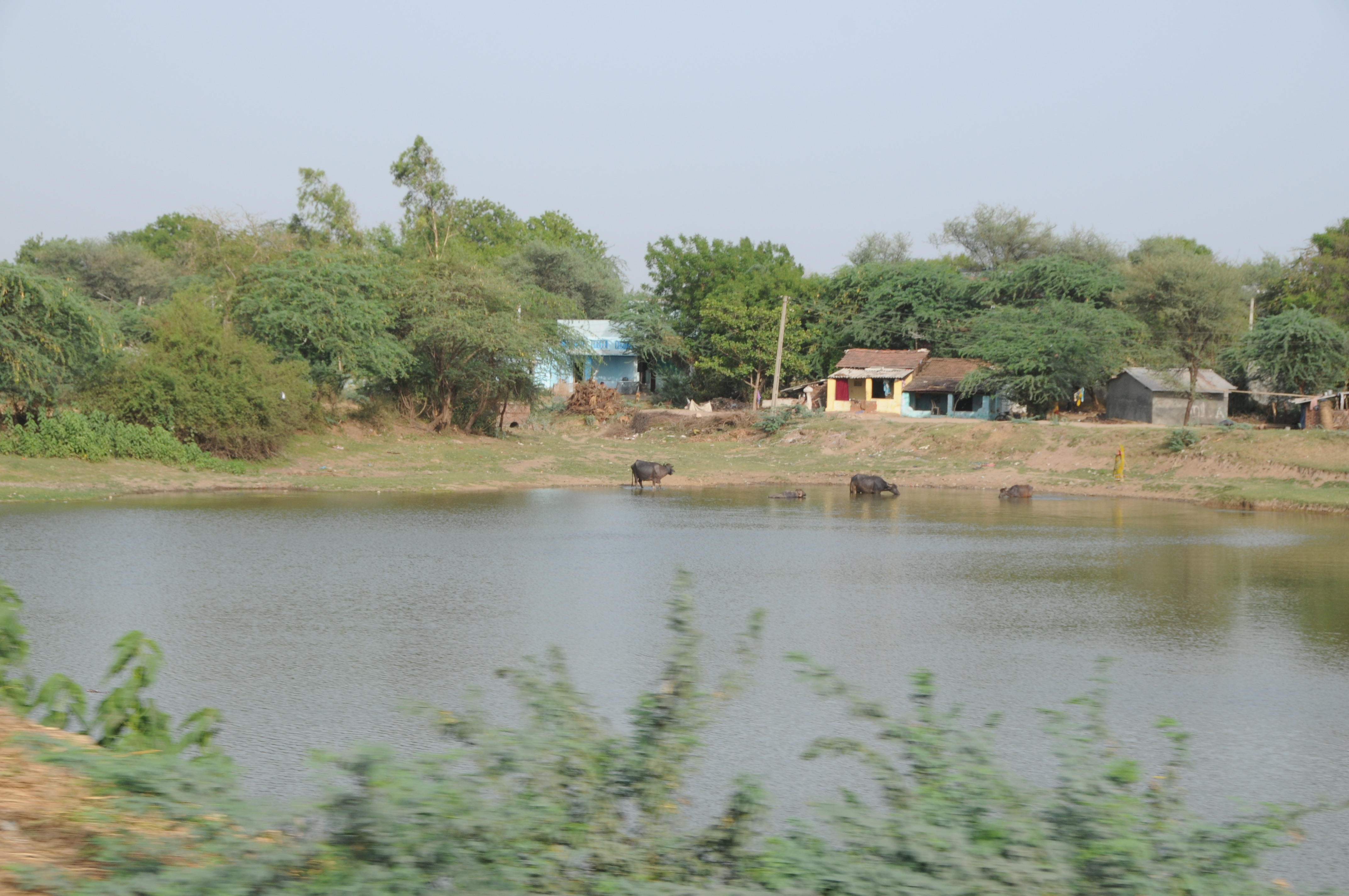
Related Photos:
CSP_6821.JPG
CSP_6816.JPG
CSP_6824.JPG
CSP_6813.JPG
CSP_6817.JPG
CSP_6825.JPG
CSP_6822.JPG
CSP_6814.JPG
CSP_6815.JPG
CSP_6823.JPG
CSP_6819.JPG
CSP_6818.JPG
CSP_6826.JPG
CSP_6715.JPG
CSP_6839.JPG

CSP_6725.JPG
CSP_6827.JPG
CSP_6842.JPG
CSP_6834.JPG
CSP_6830.JPG

CSP_6727.JPG
CSP_6831.JPG
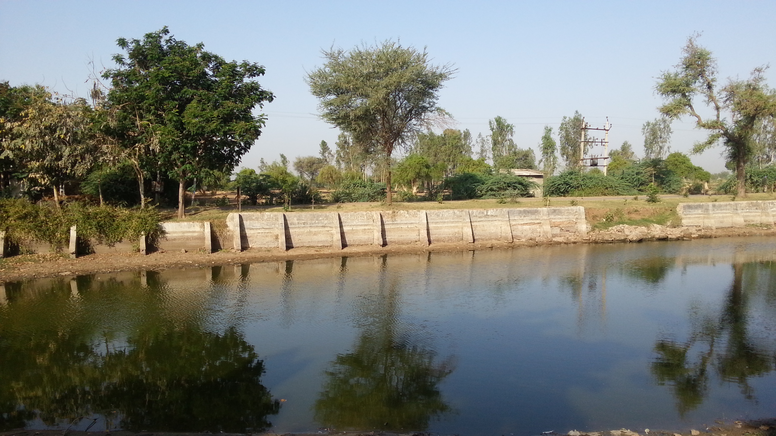
Lake of Khadiyarapura (KP)
Topographic Map of Kheda, Gujarat, India
Find elevation by address:

Places near Kheda, Gujarat, India:
Nadiad
Paldi
Kujad
Kanbha-kujad Old Bridge
Kanbha Gurukul
Kanbha
Kankaria Lake
Ahmedabad Railway Station
Ahmedabad Railway Station
Ahmedabad Railway Station
Ahmedabad
Ahmedabad
Kalyan Society, Maharashtra Society
Mahatma Gandhi International School
Anand
Bemanagar
Karnavati Club
Sardar Vallabhbhai Patel International Airport
Bodakdev
Cee Ahmedabad
Recent Searches:
- Elevation map of Greenland, Greenland
- Elevation of Sullivan Hill, New York, New York, 10002, USA
- Elevation of Morehead Road, Withrow Downs, Charlotte, Mecklenburg County, North Carolina, 28262, USA
- Elevation of 2800, Morehead Road, Withrow Downs, Charlotte, Mecklenburg County, North Carolina, 28262, USA
- Elevation of Yangbi Yi Autonomous County, Yunnan, China
- Elevation of Pingpo, Yangbi Yi Autonomous County, Yunnan, China
- Elevation of Mount Malong, Pingpo, Yangbi Yi Autonomous County, Yunnan, China
- Elevation map of Yongping County, Yunnan, China
- Elevation of North 8th Street, Palatka, Putnam County, Florida, 32177, USA
- Elevation of 107, Big Apple Road, East Palatka, Putnam County, Florida, 32131, USA
- Elevation of Jiezi, Chongzhou City, Sichuan, China
- Elevation of Chongzhou City, Sichuan, China
- Elevation of Huaiyuan, Chongzhou City, Sichuan, China
- Elevation of Qingxia, Chengdu, Sichuan, China
- Elevation of Corso Fratelli Cairoli, 35, Macerata MC, Italy
- Elevation of Tallevast Rd, Sarasota, FL, USA
- Elevation of 4th St E, Sonoma, CA, USA
- Elevation of Black Hollow Rd, Pennsdale, PA, USA
- Elevation of Oakland Ave, Williamsport, PA, USA
- Elevation of Pedrógão Grande, Portugal