Elevation of N West St, Angola, IN, USA
Location: United States > Indiana > Steuben County > Pleasant Township > Angola >
Longitude: -85.001436
Latitude: 41.6382376
Elevation: 317m / 1040feet
Barometric Pressure: 98KPa
Elevation Map:
Satellite Map:
Related Photos:

The Better Ending

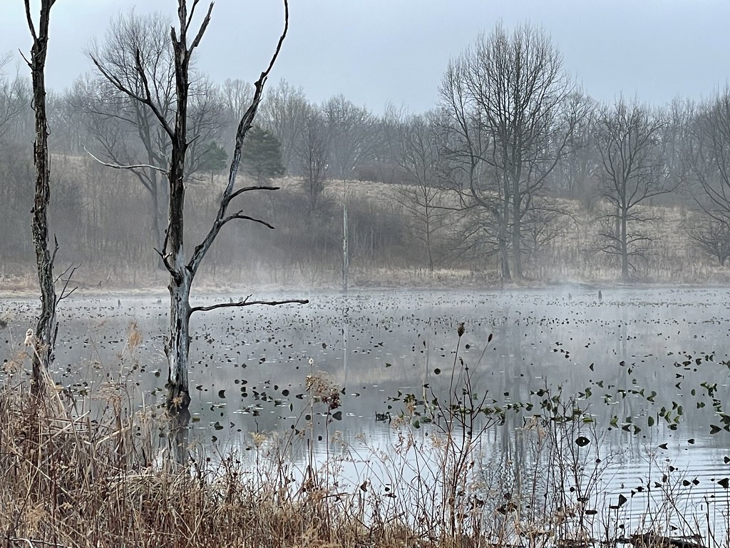
Pleasant Lake, IN, 2002

LRR 110 @ Pleasant Lake IN (1989)

Postcard: Lobby, Potawatomi Lodge, Pokagon State Park, Indiana

Misc Pictures from 8-13-15 007

Croxton Block

View from the High Point

2011-05-06 07.58.34

How great is this view?

The weather today allowed for a stunning view from the top of the tower at Potawatomi State Park

Topsy-turvy

Bygone Barn

Wonders of Winter (17)
Early Spring Hike (2)

Early Spring Hike (1)

Sunset over Lake James

Lake Lonidaw

Taking it all in

A furry friend

Pokagon SP, Indiana

Pokagon SP, Indiana

Fun Spot 025

Lake House (Late August)

Afterburner and Ferris Wheel

Second Section

This is where the INE splits off the E-W former Wabash Line and makes it's way up into MI, on the former NYC's Fort Wayne & Jackson Line in the foreground is the former marl pits

Lake House (Late August)

Lake House (Late August)

Lake House (Late August)

20150705_180505(0)

Lake House (Late August)
Topographic Map of N West St, Angola, IN, USA
Find elevation by address:

Places near N West St, Angola, IN, USA:
Angola
United States Postal Service
Steuben County
W Long Lake Rd, Pleasant Lake, IN, USA
Pleasant Lake
Steuben Township
Otsego Township
W S, Ashley, IN, USA
Ln Hamilton Lake, Hamilton, IN, USA
E S, Hamilton, IN, USA
Ln B Hamilton Lake, Hamilton, IN, USA
S E, Angola, IN, USA
N Grand Ave, Ashley, IN, USA
Ashley
Hamilton
Co Rd 10, Waterloo, IN, USA
E Metz Rd, Angola, IN, USA
S E, Hamilton, IN, USA
Richland Township
US-20, Edon, OH, USA
Recent Searches:
- Elevation of Corso Fratelli Cairoli, 35, Macerata MC, Italy
- Elevation of Tallevast Rd, Sarasota, FL, USA
- Elevation of 4th St E, Sonoma, CA, USA
- Elevation of Black Hollow Rd, Pennsdale, PA, USA
- Elevation of Oakland Ave, Williamsport, PA, USA
- Elevation of Pedrógão Grande, Portugal
- Elevation of Klee Dr, Martinsburg, WV, USA
- Elevation of Via Roma, Pieranica CR, Italy
- Elevation of Tavkvetili Mountain, Georgia
- Elevation of Hartfords Bluff Cir, Mt Pleasant, SC, USA