Elevation of E S, Hamilton, IN, USA
Location: United States > Indiana > Steuben County > Otsego Township > Hamilton >
Longitude: -84.907837
Latitude: 41.571653
Elevation: 294m / 965feet
Barometric Pressure: 0KPa
Related Photos:
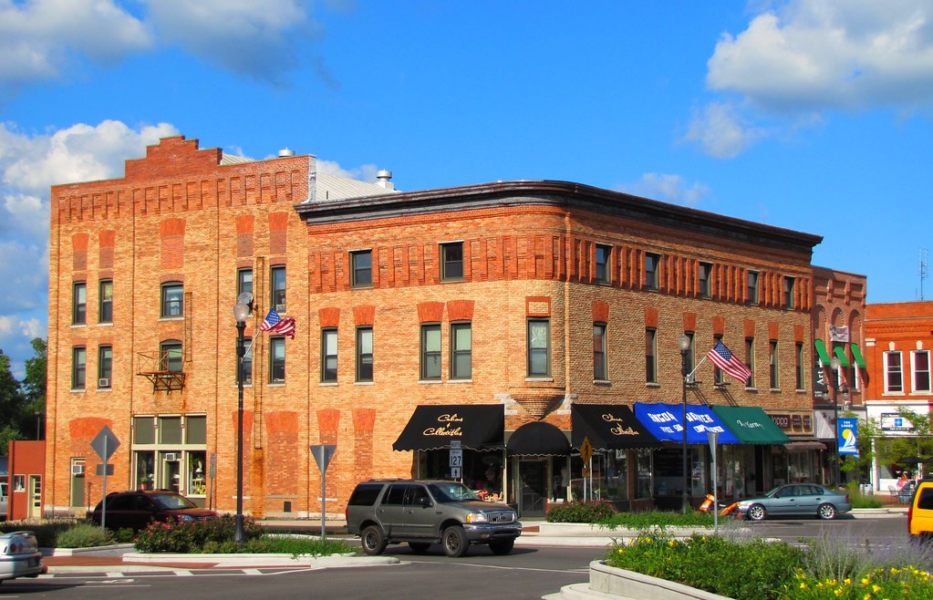
Croxton Block
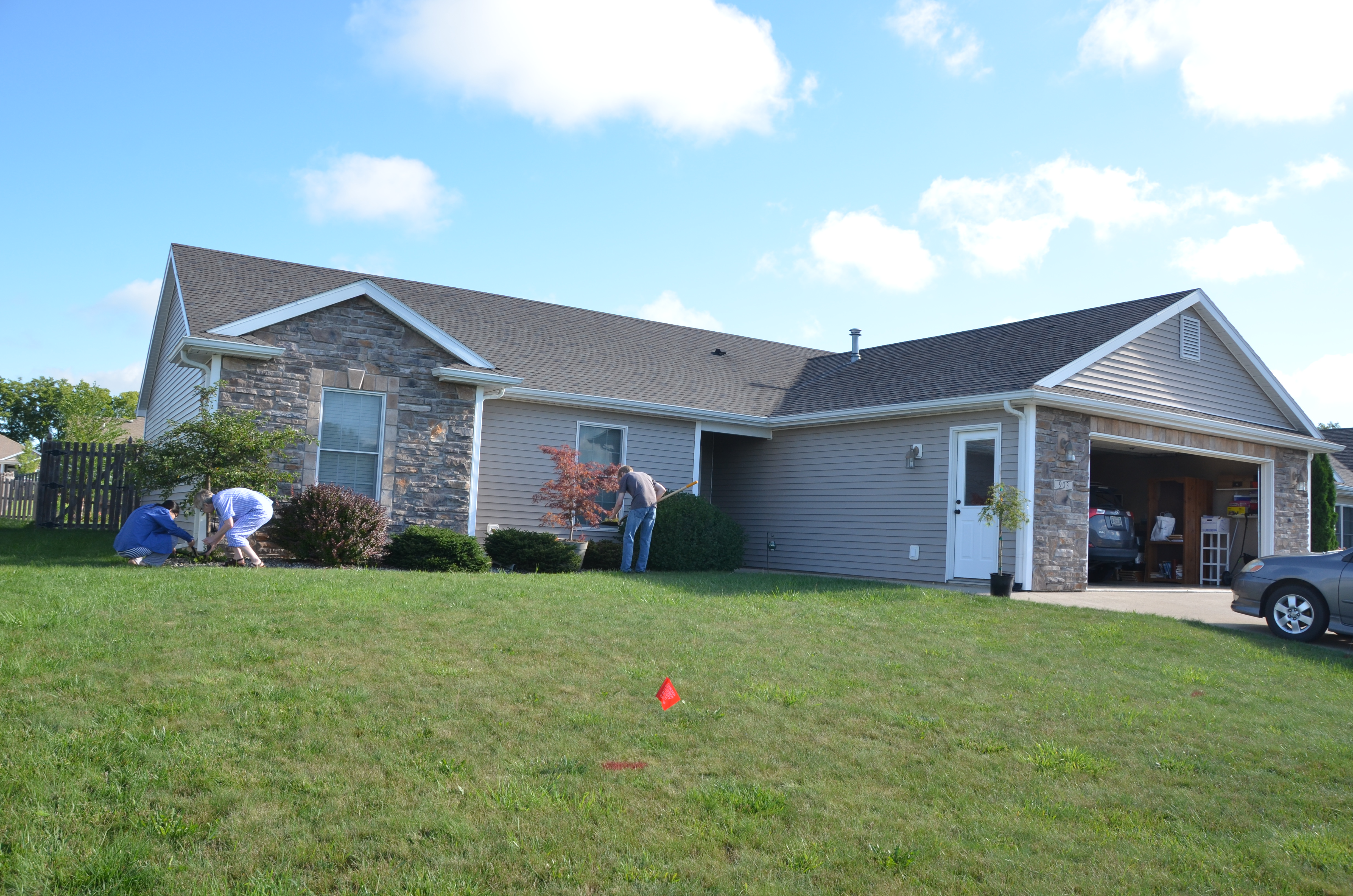
Misc Pictures from 8-13-15 007
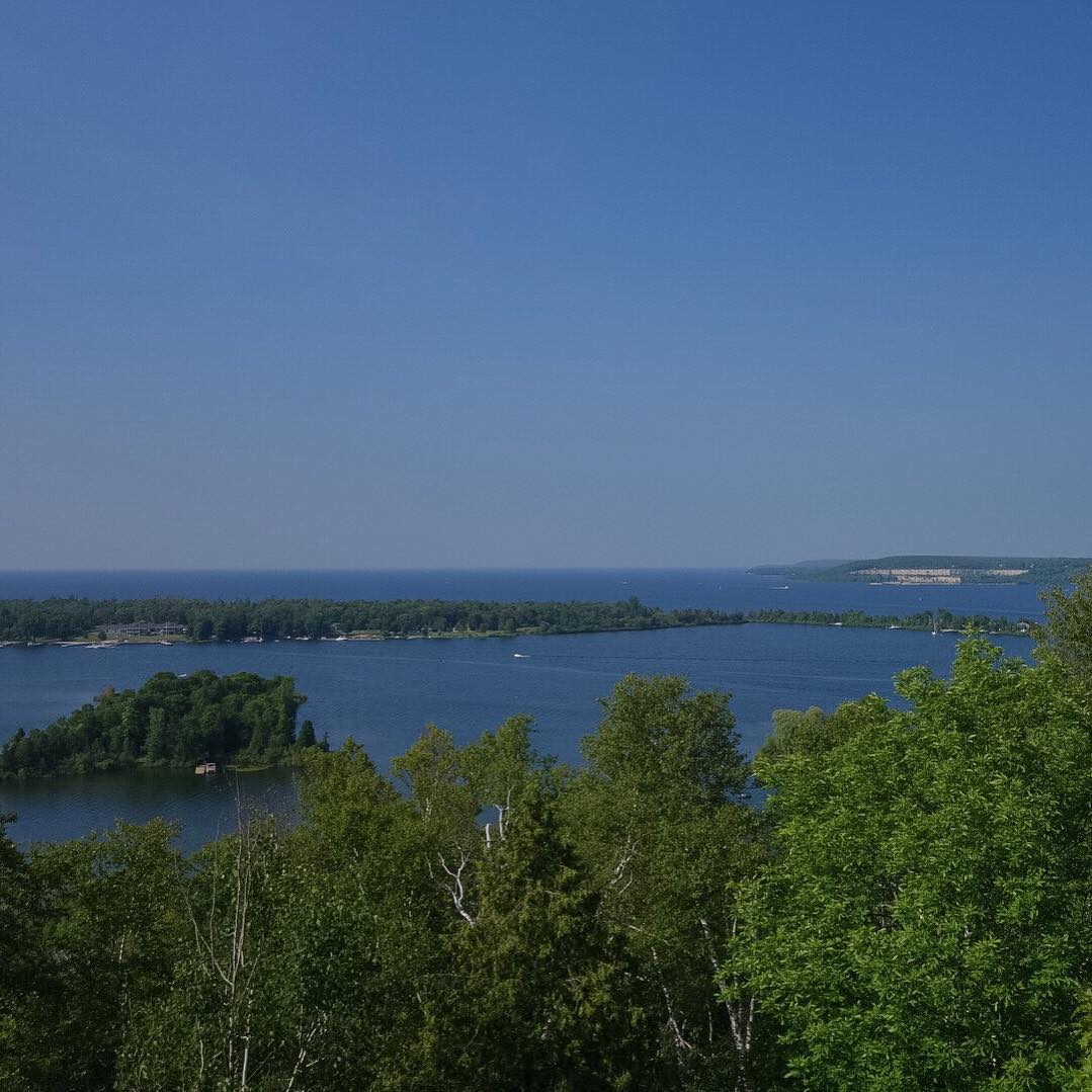
The weather today allowed for a stunning view from the top of the tower at Potawatomi State Park

Pleasant Lake, IN, 2002
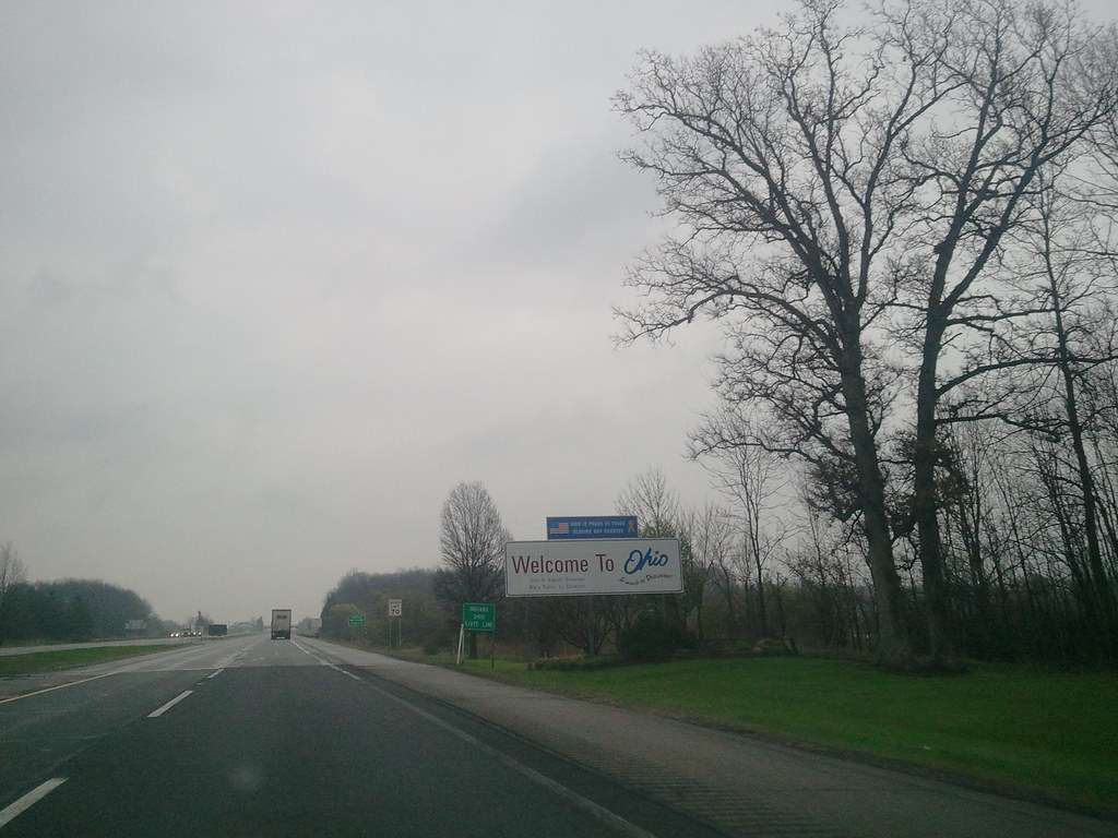
2011-05-06 08.08.26 Welcome to Ohio

Nice Pair

Alone Tree

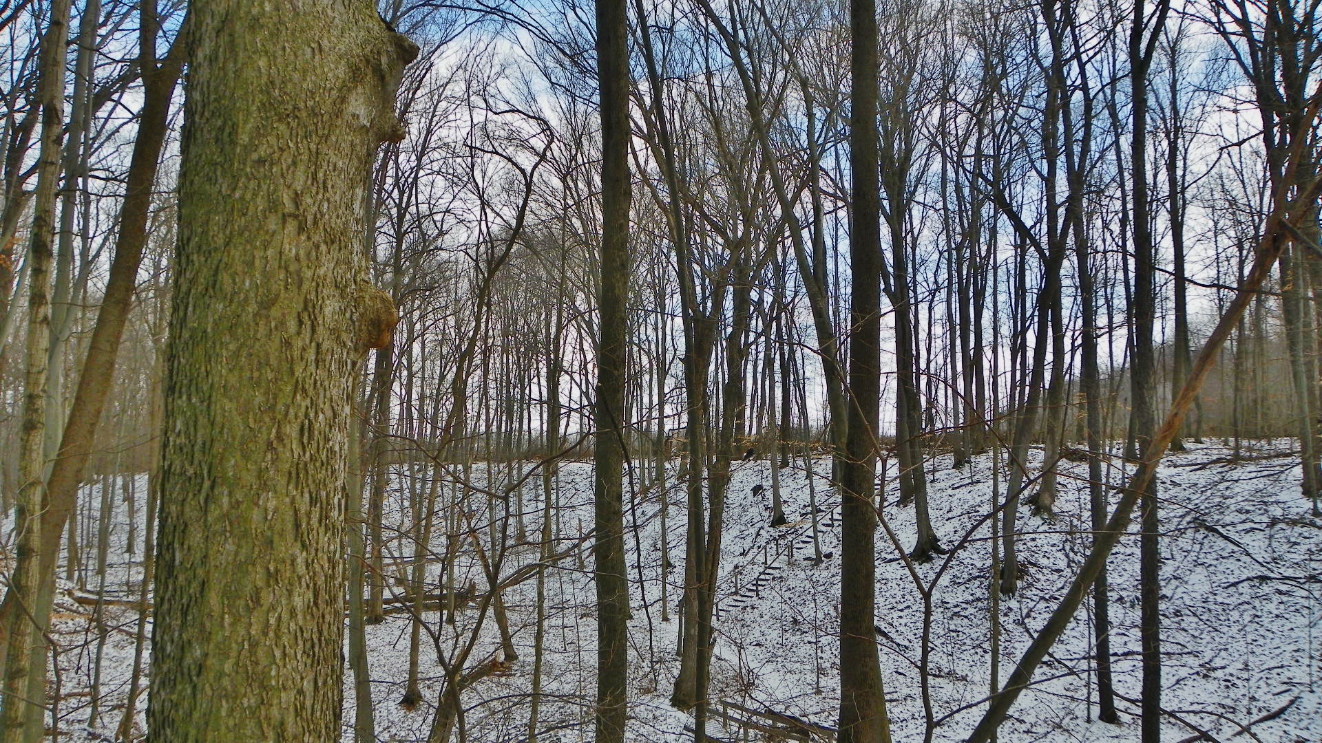
Autumn glow in the forest

Robb Hidden Canyon ACRES Preserve(4)
samsebeskazal.livejournal.com-05299.jpg
samsebeskazal.livejournal.com-05288.jpg

2012.356

Misc Pictures from 8-13-15 021

Misc Pictures from 8-13-15 017

Misc Pictures from 8-13-15 020

Misc Pictures from 8-13-15 018

Misc Pictures from 8-13-15 009
Second Section
Misc Pictures from 8-13-15 016

Misc Pictures from 8-13-15 019

Misc Pictures from 8-13-15 022
Robb Hidden Canyon ACRES Preserve
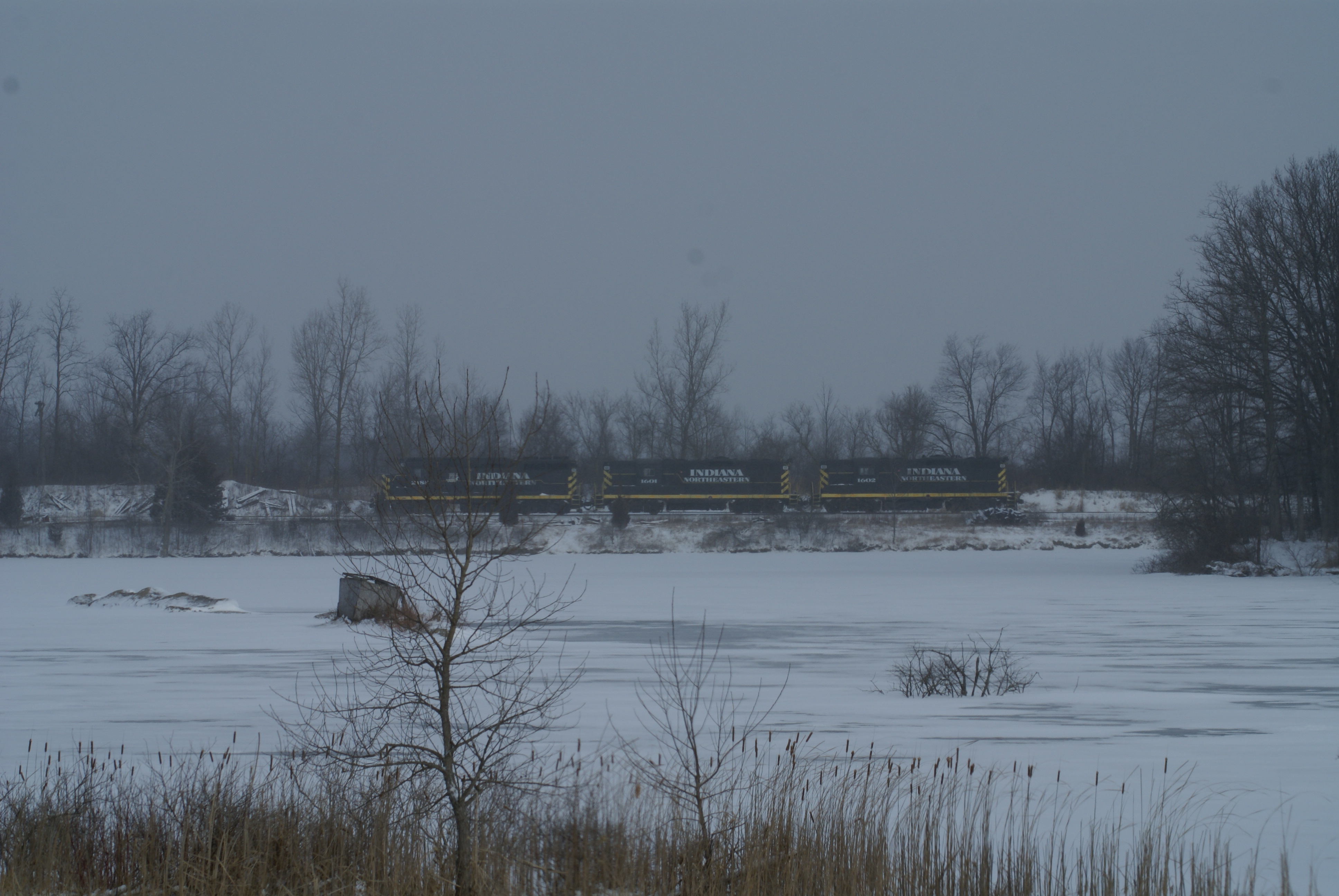
This is where the INE splits off the E-W former Wabash Line and makes it's way up into MI, on the former NYC's Fort Wayne & Jackson Line in the foreground is the former marl pits

Au revior #Ohio, et bonjour Paris! #BeanDays #Montpelier #Barn
img_2003-1.jpg
Topographic Map of E S, Hamilton, IN, USA
Find elevation by address:

Places near E S, Hamilton, IN, USA:
Ln B Hamilton Lake, Hamilton, IN, USA
Otsego Township
Ln Hamilton Lake, Hamilton, IN, USA
Hamilton
S E, Hamilton, IN, USA
S E, Angola, IN, USA
E Metz Rd, Angola, IN, USA
Richland Township
Steuben County
Pleasant Lake
Angola
416 N West St
W S, Ashley, IN, USA
W Long Lake Rd, Pleasant Lake, IN, USA
United States Postal Service
US-20, Edon, OH, USA
6497 Co Rd 2
Steuben Township
Edon
Co Rd 10, Waterloo, IN, USA
Recent Searches:
- Elevation map of Greenland, Greenland
- Elevation of Sullivan Hill, New York, New York, 10002, USA
- Elevation of Morehead Road, Withrow Downs, Charlotte, Mecklenburg County, North Carolina, 28262, USA
- Elevation of 2800, Morehead Road, Withrow Downs, Charlotte, Mecklenburg County, North Carolina, 28262, USA
- Elevation of Yangbi Yi Autonomous County, Yunnan, China
- Elevation of Pingpo, Yangbi Yi Autonomous County, Yunnan, China
- Elevation of Mount Malong, Pingpo, Yangbi Yi Autonomous County, Yunnan, China
- Elevation map of Yongping County, Yunnan, China
- Elevation of North 8th Street, Palatka, Putnam County, Florida, 32177, USA
- Elevation of 107, Big Apple Road, East Palatka, Putnam County, Florida, 32131, USA
- Elevation of Jiezi, Chongzhou City, Sichuan, China
- Elevation of Chongzhou City, Sichuan, China
- Elevation of Huaiyuan, Chongzhou City, Sichuan, China
- Elevation of Qingxia, Chengdu, Sichuan, China
- Elevation of Corso Fratelli Cairoli, 35, Macerata MC, Italy
- Elevation of Tallevast Rd, Sarasota, FL, USA
- Elevation of 4th St E, Sonoma, CA, USA
- Elevation of Black Hollow Rd, Pennsdale, PA, USA
- Elevation of Oakland Ave, Williamsport, PA, USA
- Elevation of Pedrógão Grande, Portugal