Elevation of N St Helen Rd, St Helen, MI, USA
Location: United States > Michigan > Roscommon County >
Longitude: -84.4103453
Latitude: 44.4720672
Elevation: 359m / 1178feet
Barometric Pressure: 0KPa
Related Photos:

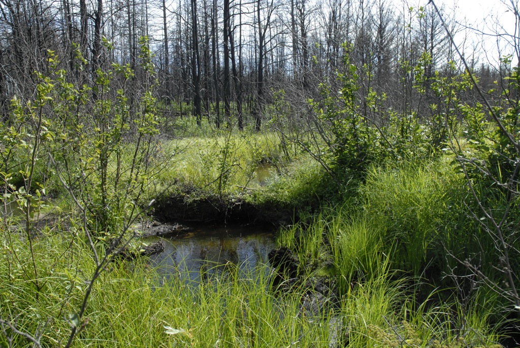
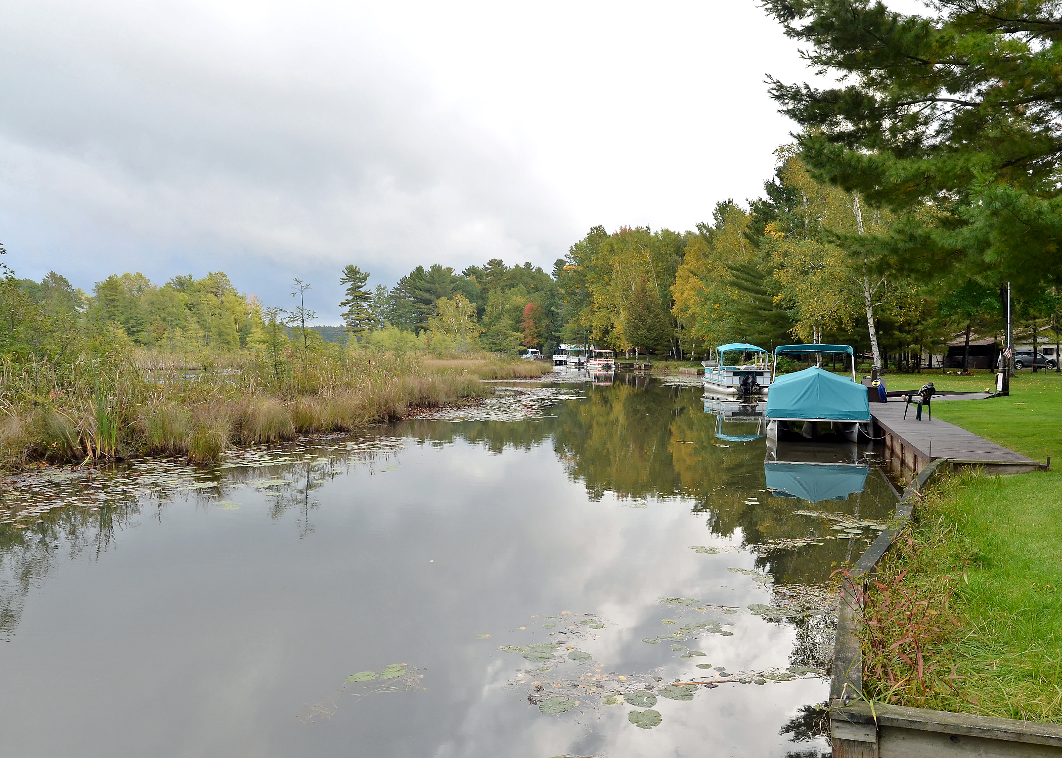
Evening Walk

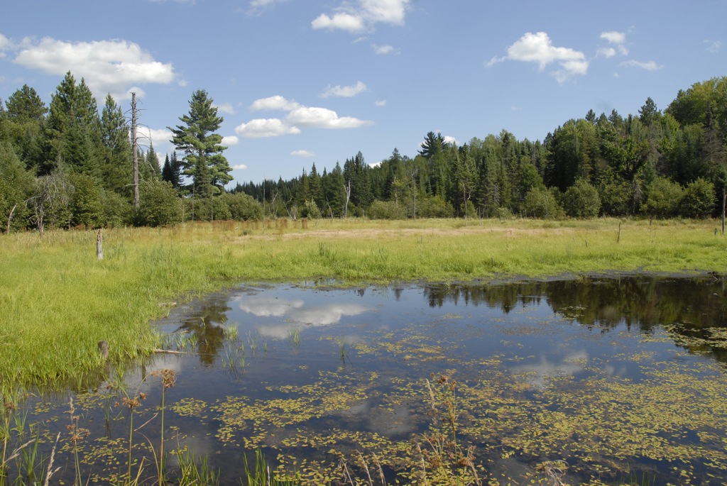
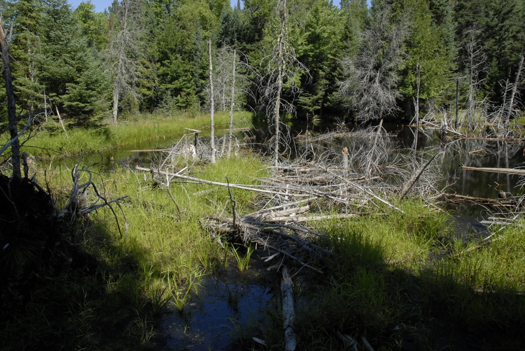
South Branch Late Summer

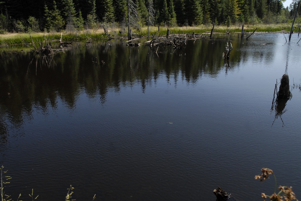
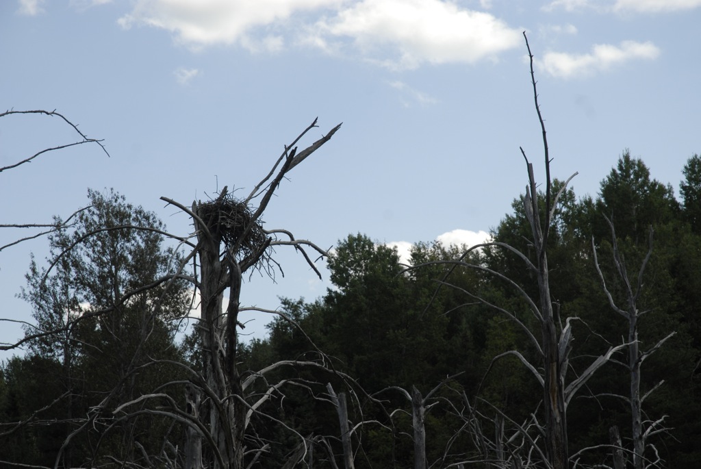
South Branch Late Summer 2

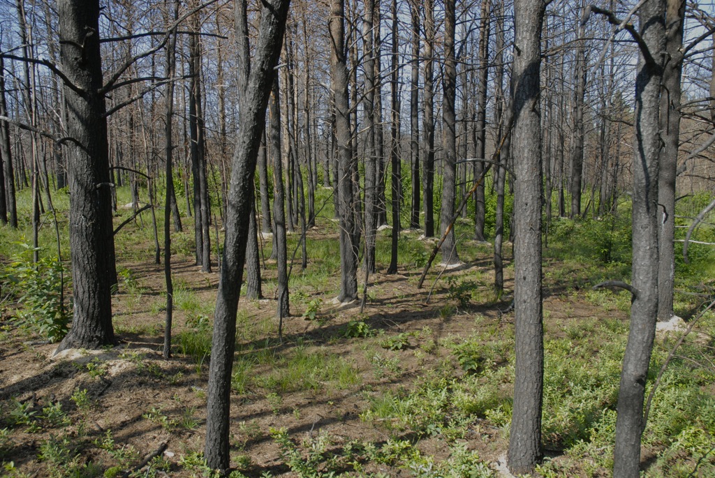
Red Pine forest
small dam search a - 55

Baldwin's

Leaf Peeping 2011

High Water Near Dogtown

Downey's

small dam search b - 31

IMG_3653 (1 of 1) (1)
small dam search b - 08

small dam search a - 39

Downey's
small dam search b - 46

small dam search a - 08
small dam search b - 13
Leaf Peeping 2011

small dam search a - 14
small dam search b - 15
small dam search b - 41
Topographic Map of N St Helen Rd, St Helen, MI, USA
Find elevation by address:

Places near N St Helen Rd, St Helen, MI, USA:
Au Sable Township
Maple Valley Road
Saint Helen
121 Ausable River Trail
121 Ausable River Trail
121 Ausable River Trail
121 Ausable River Trail
121 Ausable River Trail
South Branch Township
Richfield Township
Higgins Township
123 Au Sable River Trail
Roscommon
3190 Skeeter St
Fiddlewood Dr, Grayling, MI, USA
North Cut Road
Cross Country Ski Headquarters
Gerrish Township
148 Pine Bluffs Rd
574 W Houghton Lake Dr
Recent Searches:
- Elevation of Pasing, Munich, Bavaria, 81241, Germany
- Elevation of 24, Auburn Bay Crescent SE, Auburn Bay, Calgary, Alberta, T3M 0A6, Canada
- Elevation of Denver, 2314, Arapahoe Street, Five Points, Denver, Colorado, 80205, USA
- Elevation of Community of the Beatitudes, 2924, West 43rd Avenue, Sunnyside, Denver, Colorado, 80211, USA
- Elevation map of Litang County, Sichuan, China
- Elevation map of Madoi County, Qinghai, China
- Elevation of 3314, Ohio State Route 114, Payne, Paulding County, Ohio, 45880, USA
- Elevation of Sarahills Drive, Saratoga, Santa Clara County, California, 95070, USA
- Elevation of Town of Bombay, Franklin County, New York, USA
- Elevation of 9, Convent Lane, Center Moriches, Suffolk County, New York, 11934, USA
- Elevation of Saint Angelas Convent, 9, Convent Lane, Center Moriches, Suffolk County, New York, 11934, USA
- Elevation of 131st Street Southwest, Mukilteo, Snohomish County, Washington, 98275, USA
- Elevation of 304, Harrison Road, Naples, Cumberland County, Maine, 04055, USA
- Elevation of 2362, Timber Ridge Road, Harrisburg, Cabarrus County, North Carolina, 28075, USA
- Elevation of Ridge Road, Marshalltown, Marshall County, Iowa, 50158, USA
- Elevation of 2459, Misty Shadows Drive, Pigeon Forge, Sevier County, Tennessee, 37862, USA
- Elevation of 8043, Brightwater Way, Spring Hill, Williamson County, Tennessee, 37179, USA
- Elevation of Starkweather Road, San Luis, Costilla County, Colorado, 81152, USA
- Elevation of 5277, Woodside Drive, Baton Rouge, East Baton Rouge Parish, Louisiana, 70808, USA
- Elevation of 1139, Curtin Street, Shepherd Park Plaza, Houston, Harris County, Texas, 77018, USA