Elevation of South Branch Township, MI, USA
Location: United States > Michigan > Crawford County >
Longitude: -84.459270
Latitude: 44.5852303
Elevation: 364m / 1194feet
Barometric Pressure: 97KPa
Elevation Map:
Satellite Map:
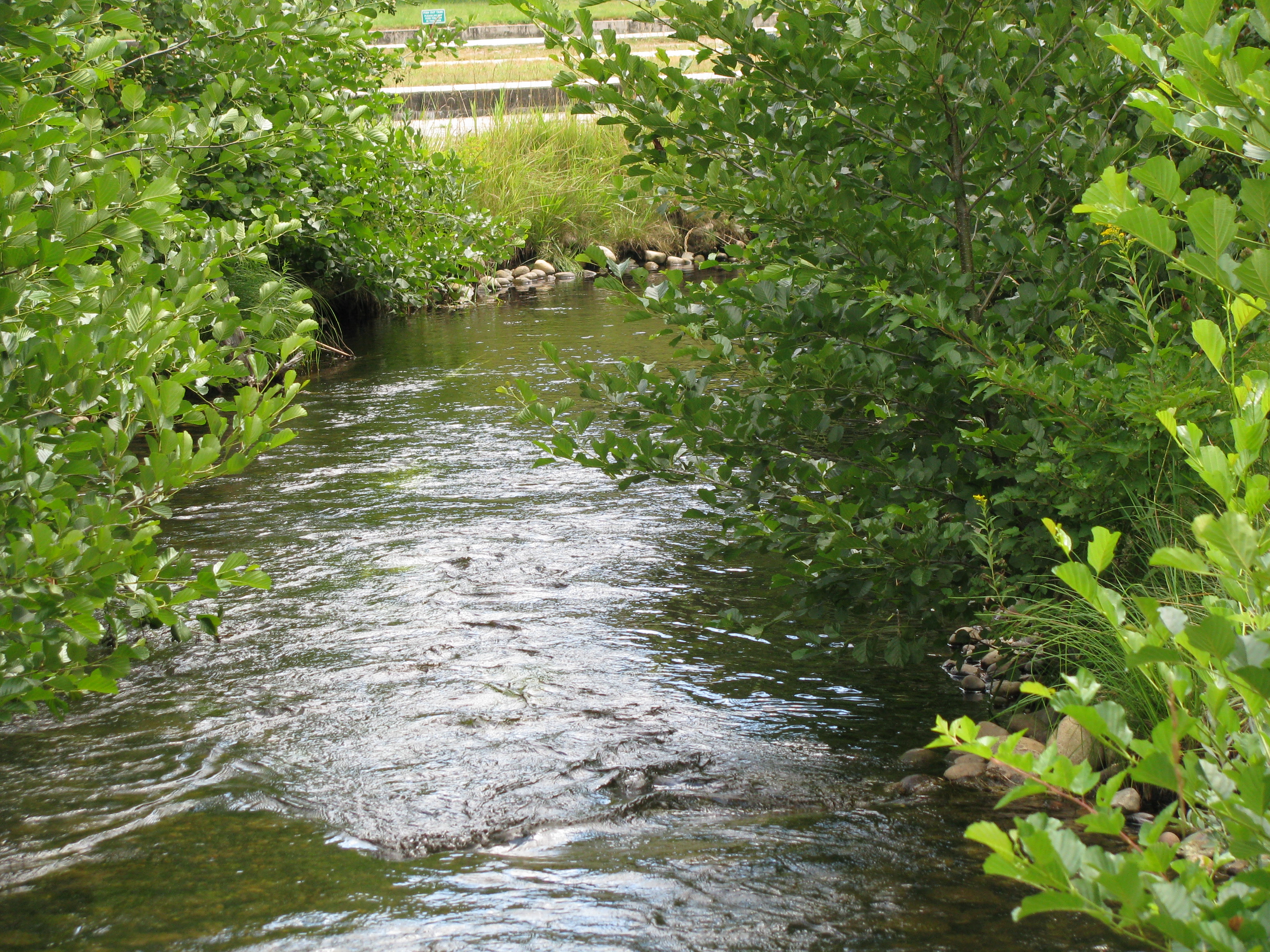
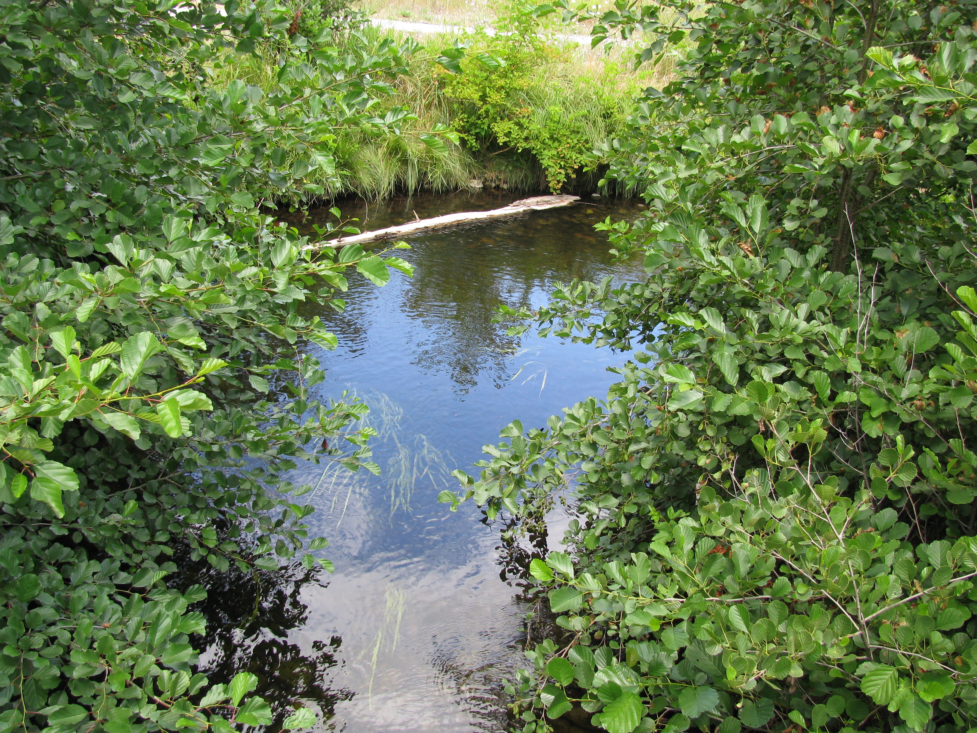
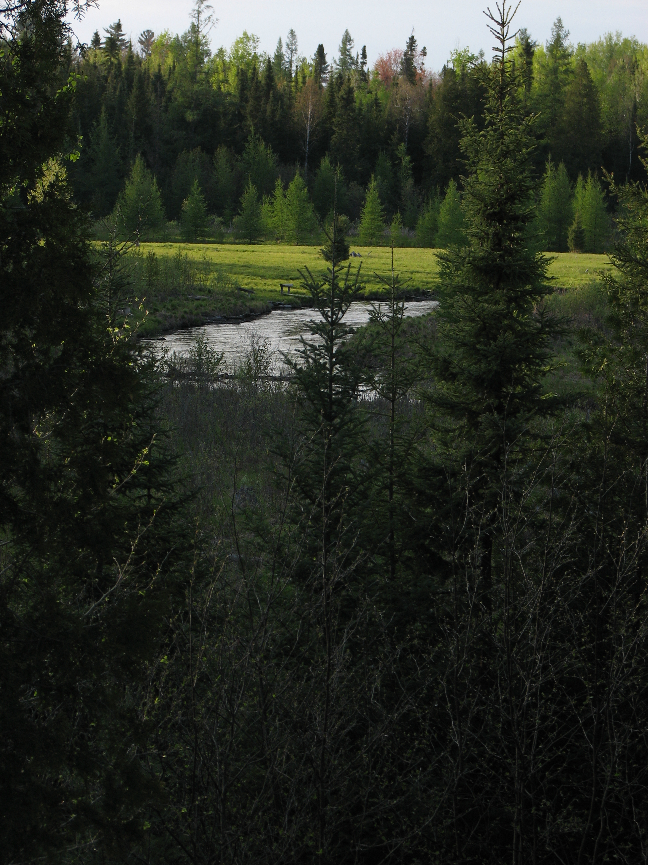
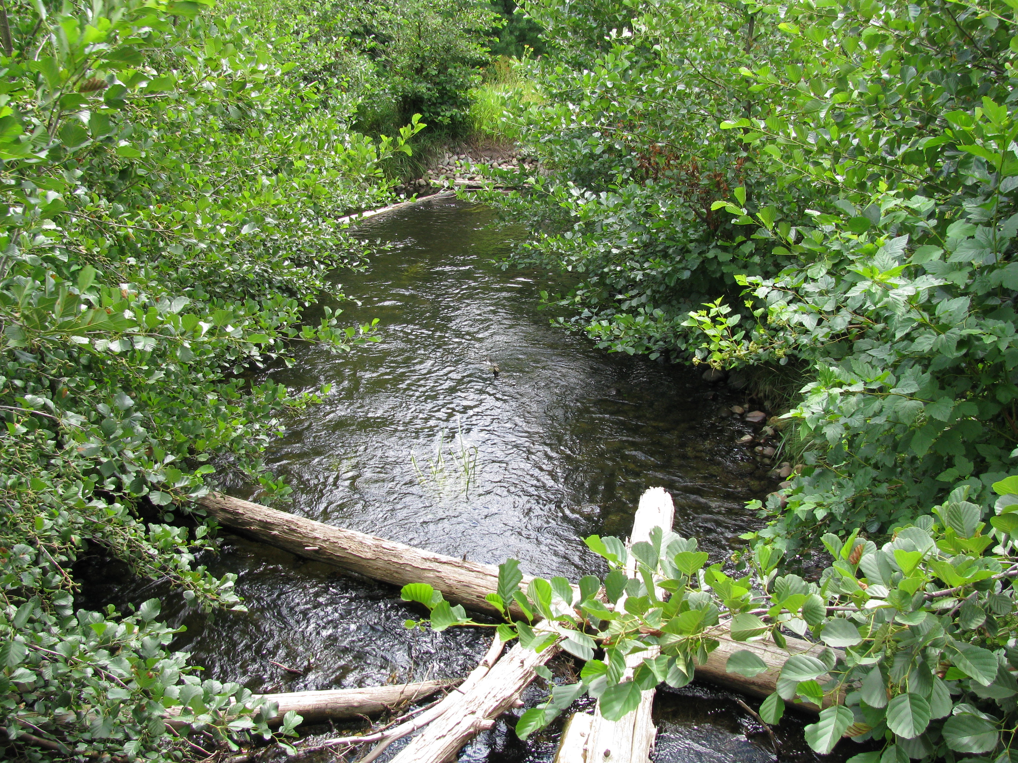
Related Photos:
Luzerne Boarwalk
Luzerne Boardwalk
Big Creek (new view)
Luzerne Boardwalk

Guide's Rest at Dawn

Red Pine forest

Au Sable River - Looking Upstream from Keystone Landing

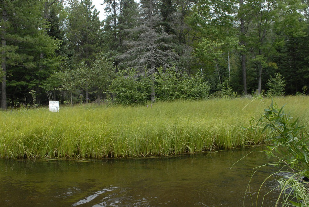
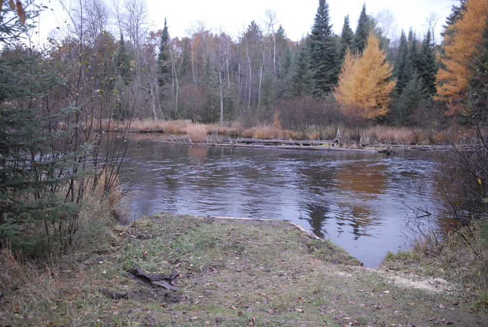
South Branch Late Summer

Fishing at Dawn
pl eradication 8/12/10 SWATb - 04

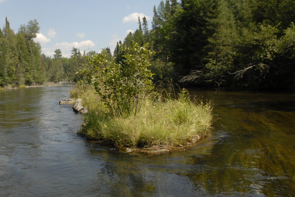
South Branch Late Summer 2
pl 8/11/10 SWAT - 27

pl eradication 8/12/10 SWATb - 03

pl eradication 8/12/10 SWATb - 14

Au Sable at Gates in February

pl eradication 8/12/10 SWATa - 23
small dam search a - 55

pl 8/13/10a - 05

pl eradication 8/12/10 SWATb - 07

small dam search b - 31

Quick Smile

small dam search a - 39
small dam search b - 46
Restoration work on the North Branch, 2009 - 57

pl 8/13/10a - 03
Topographic Map of South Branch Township, MI, USA
Find elevation by address:

Places near South Branch Township, MI, USA:
Maple Valley Road
3190 Skeeter St
121 Ausable River Trail
121 Ausable River Trail
121 Ausable River Trail
121 Ausable River Trail
121 Ausable River Trail
Au Sable Township
N St Helen Rd, St Helen, MI, USA
123 Au Sable River Trail
Fiddlewood Dr, Grayling, MI, USA
Roscommon
Higgins Township
Grayling Township
Saint Helen
North Cut Road
Gerrish Township
Cross Country Ski Headquarters
Crawford County
Beaver Creek Township
Recent Searches:
- Elevation of Corso Fratelli Cairoli, 35, Macerata MC, Italy
- Elevation of Tallevast Rd, Sarasota, FL, USA
- Elevation of 4th St E, Sonoma, CA, USA
- Elevation of Black Hollow Rd, Pennsdale, PA, USA
- Elevation of Oakland Ave, Williamsport, PA, USA
- Elevation of Pedrógão Grande, Portugal
- Elevation of Klee Dr, Martinsburg, WV, USA
- Elevation of Via Roma, Pieranica CR, Italy
- Elevation of Tavkvetili Mountain, Georgia
- Elevation of Hartfords Bluff Cir, Mt Pleasant, SC, USA