Elevation of N Rd, Jefferson, NY, USA
Location: United States > New York > Schoharie County > Jefferson > Jefferson >
Longitude: -74.523881
Latitude: 42.484796
Elevation: -10000m / -32808feet
Barometric Pressure: 0KPa
Related Photos:

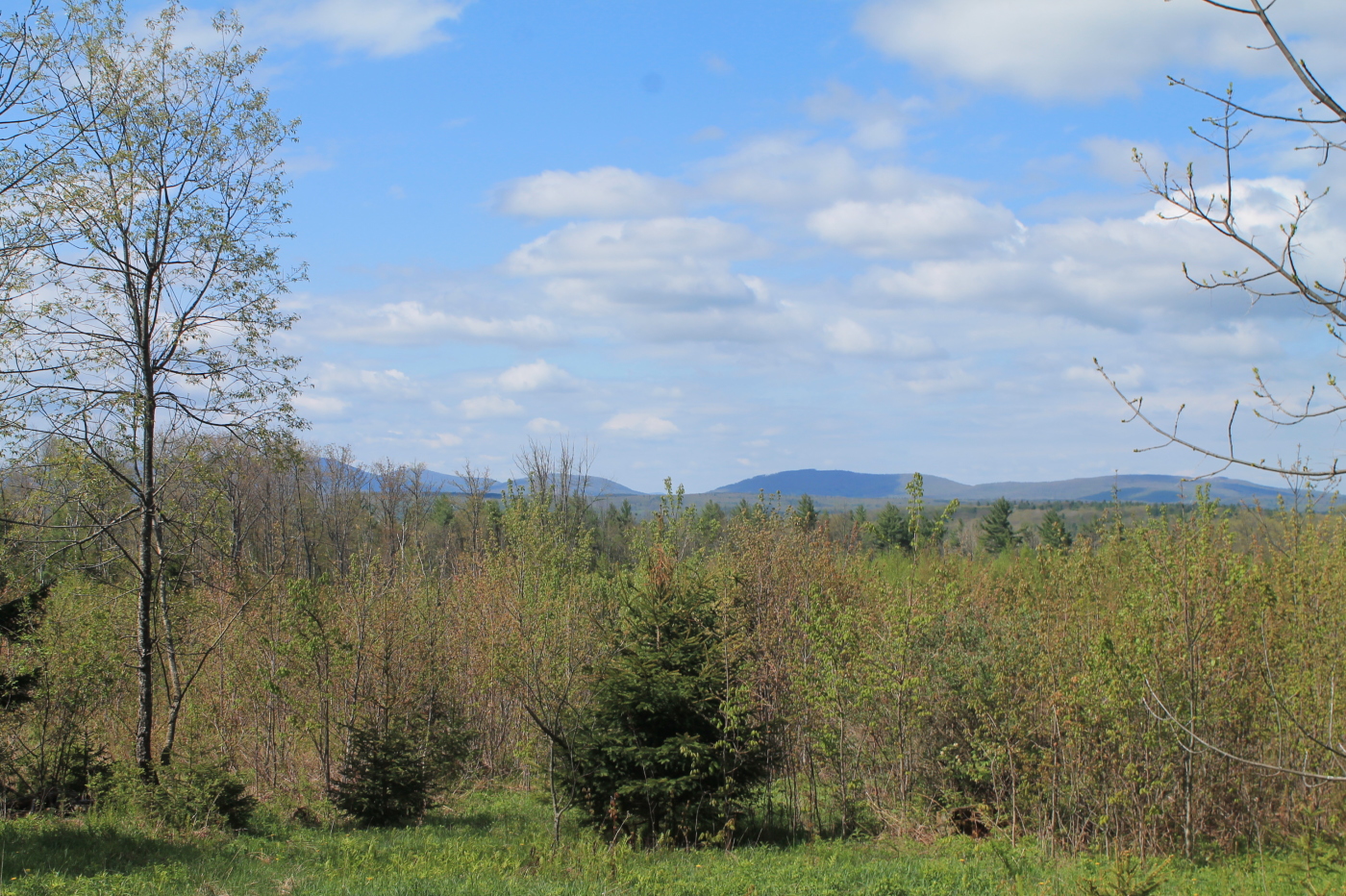
View from Long Path section 28

Big Yellow House

Minekill Falls
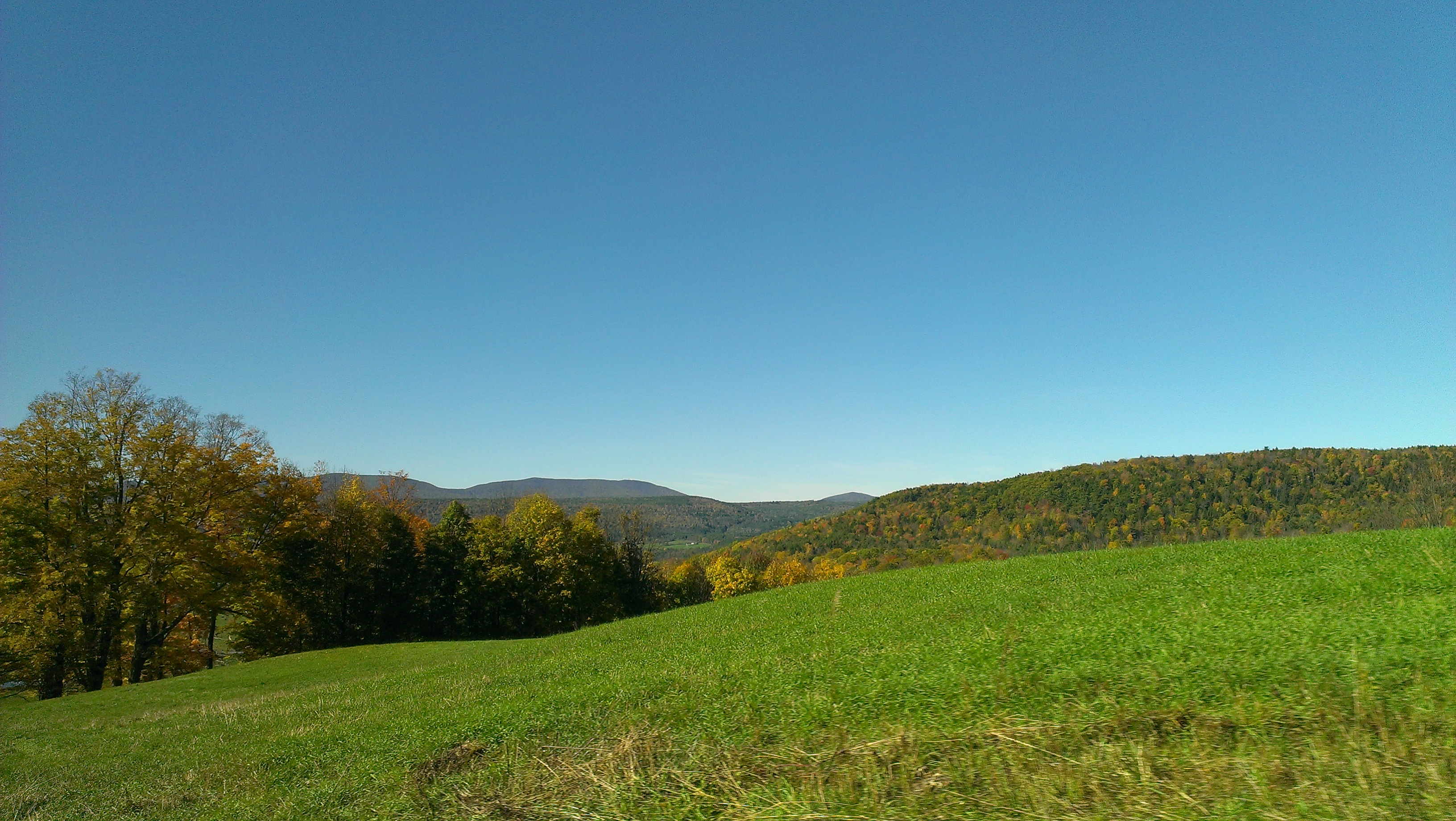
cst-hills

On Mount Utsayantha

Mount Utsayantha
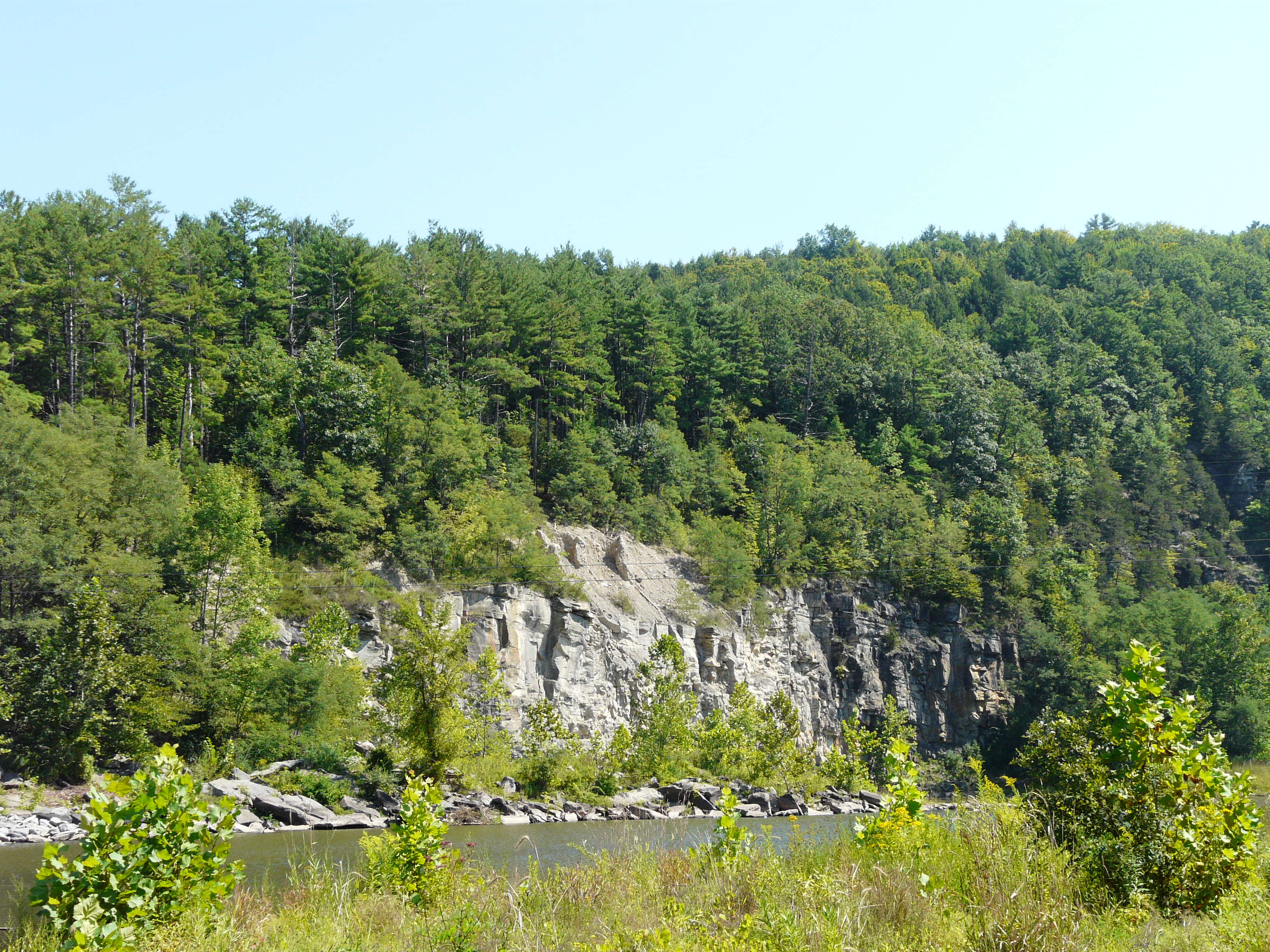
View of Gorge Walls
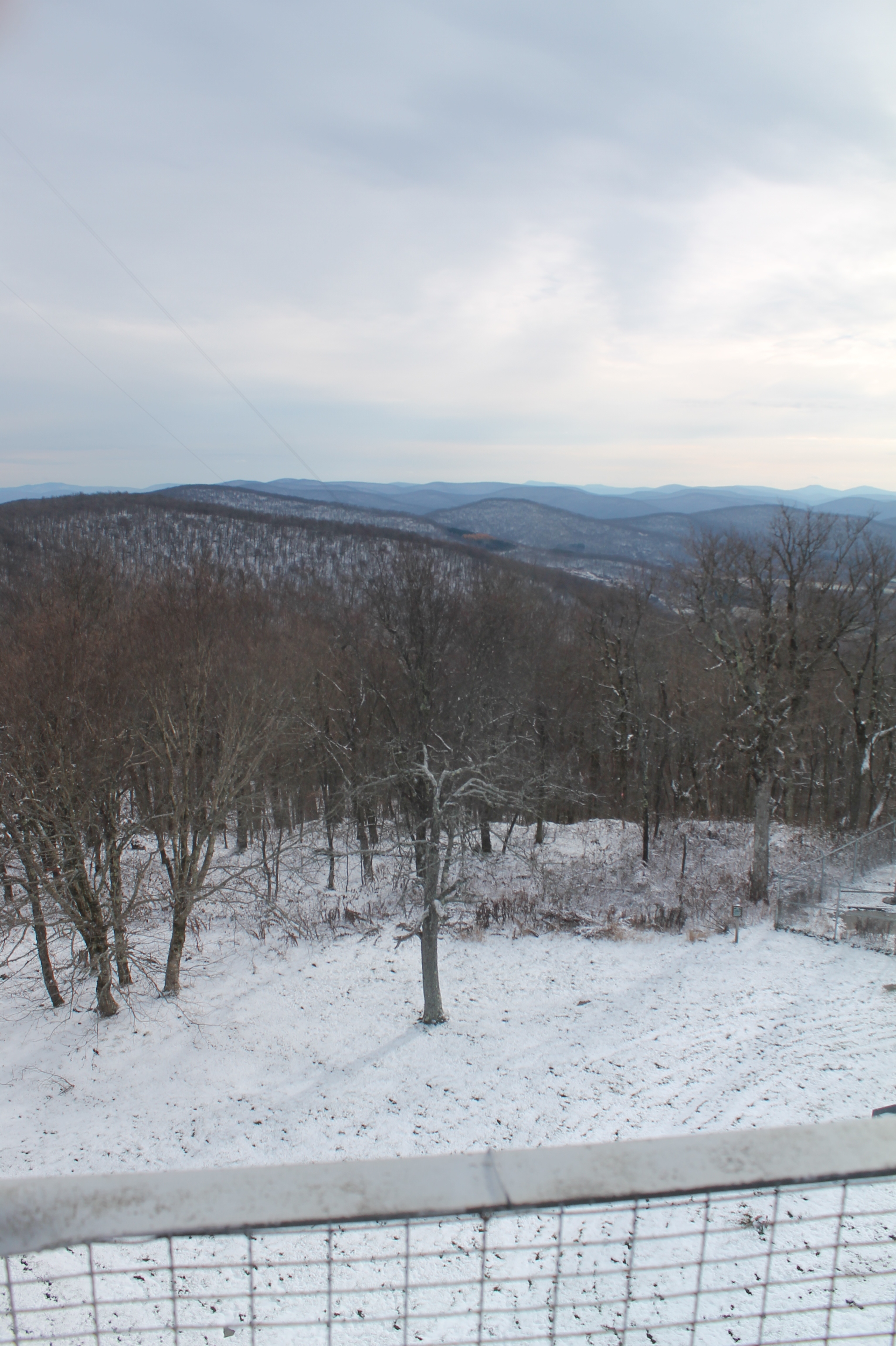
Mmmm ice storm

Little Known View of Mine Kill Falls

Time for take off...
Grand Gorge, NY 20031014 076 view from New York State Route 30

Grand Gorge, NY 20031014 075 view from New York State Route 30

Reservior View

View Into Valley
Another View from the Clear Cut

View Towards Clearing
View from Middle Landing

April 10 (100/365)

It's up there...

Mount Utsayantha
fossil beach view

Gone Fishing

Blenheim Covered Bridge

Tower Mountain Road

Clapper Hollow State Forest - New York

Clapper Hollow State Forest - New York

Clapper Hollow State Forest - New York

Clapper Hollow State Forest - New York

New footbridge in the Patria State Forest

IMAG0391.jpg
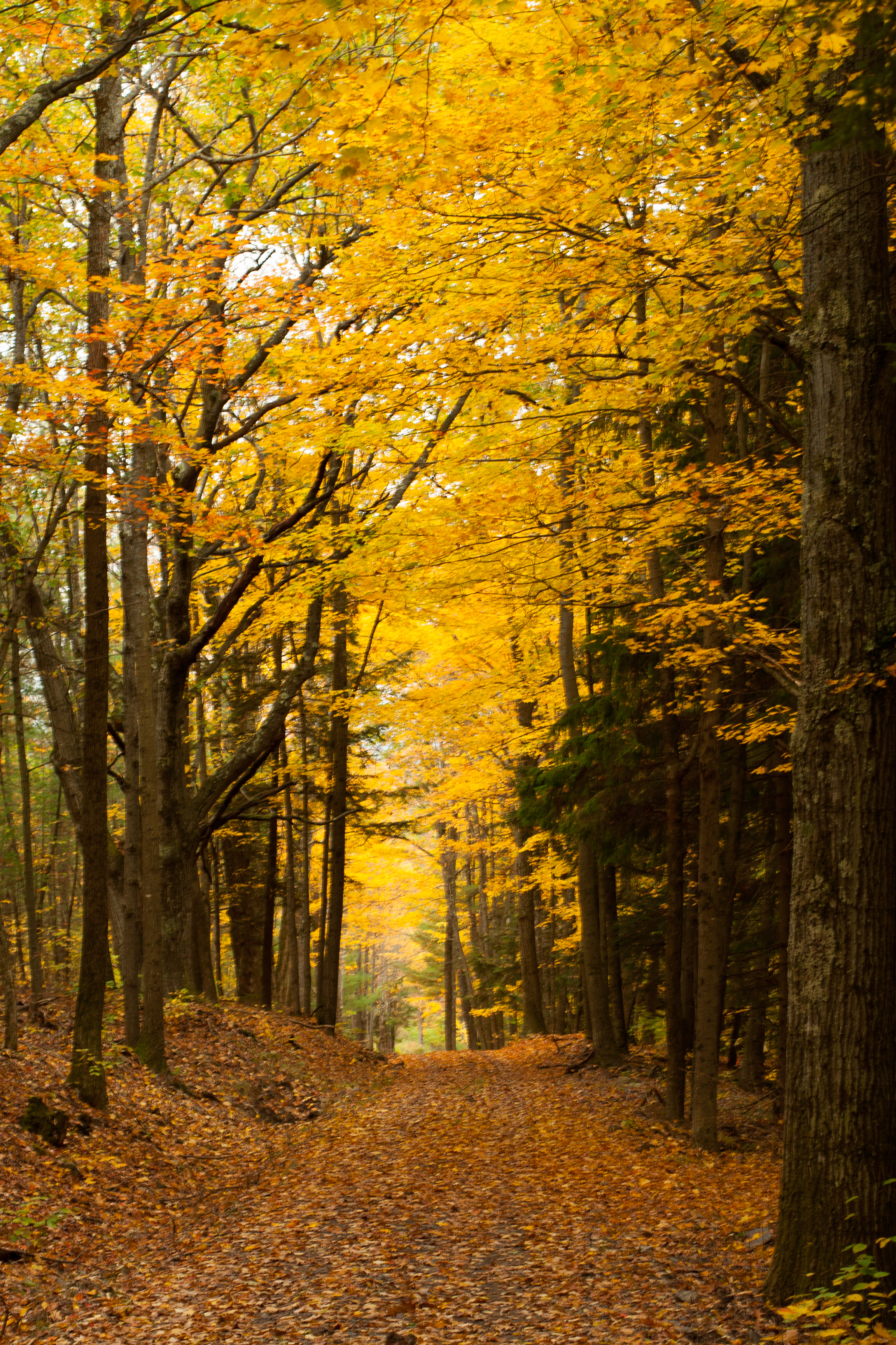
Golden path

Middleburgh,NY
Mill Creek Falls
IMAG0390.jpg

Gilboa, NY

top o' the hill

Small Pond
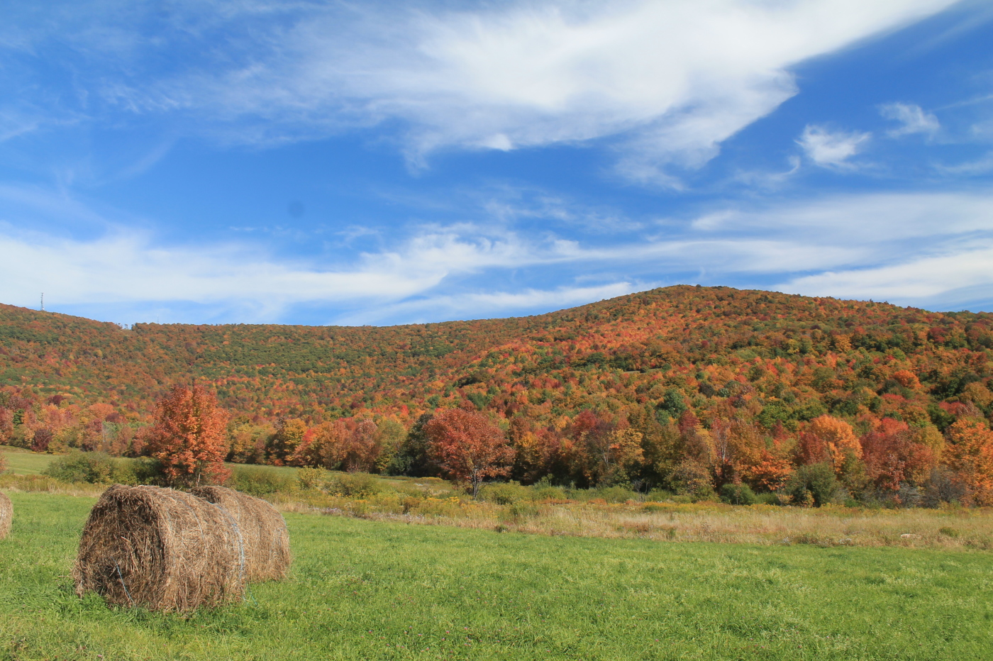
Moresville Range

Mt Utsayantha

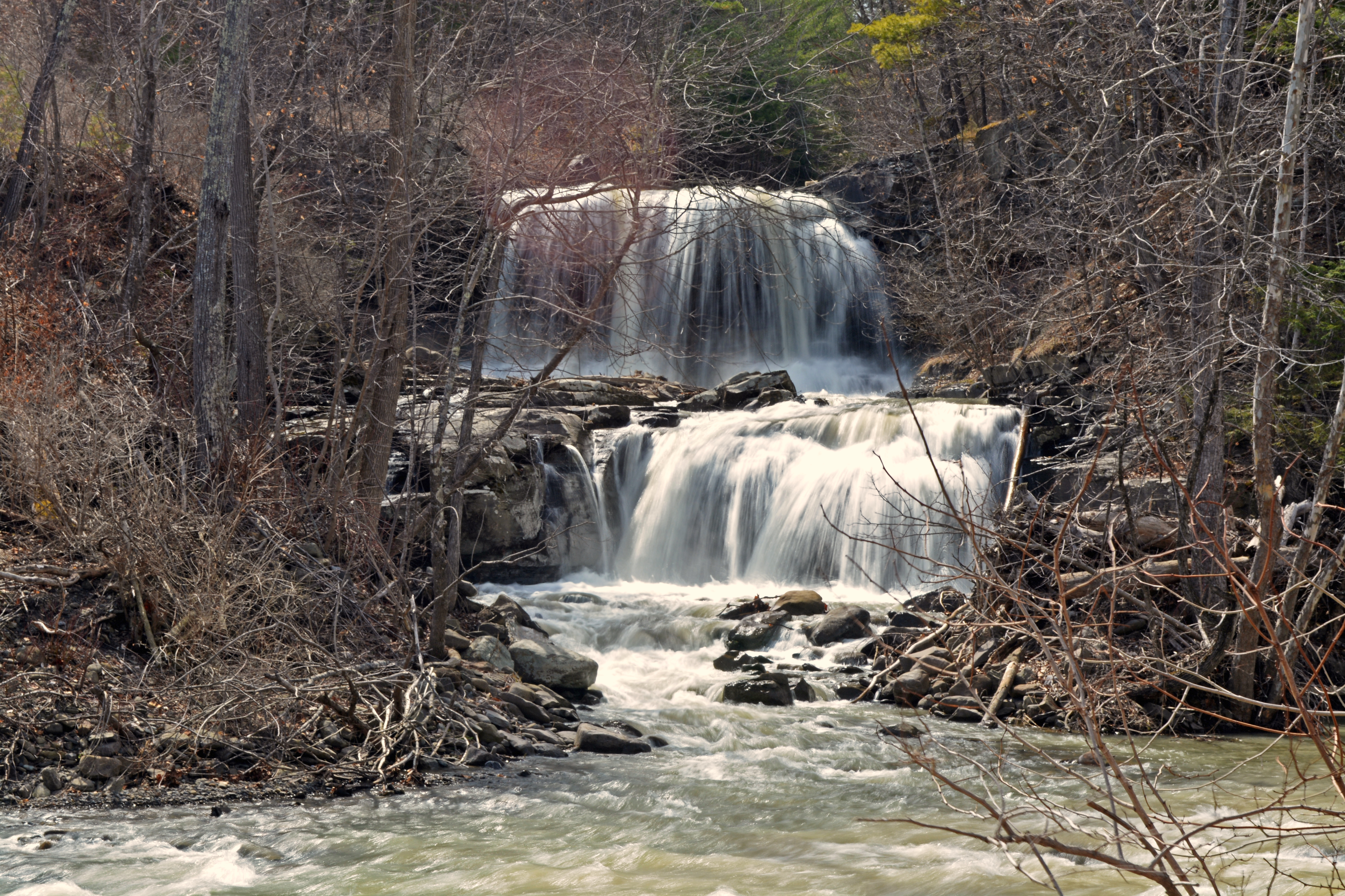
Mine Kill Falls
Topographic Map of N Rd, Jefferson, NY, USA
Find elevation by address:

Places near N Rd, Jefferson, NY, USA:
267 Miller Rd
Burnt Hill Road
Blenheim
North Blenheim, NY, USA
1061 Shew Hollow Rd
Shew Hollow Road
222 Silver Mine Rd
655 S Gilboa Rd
North Blenheim
Mine Kill State Park
310 Cole Hollow Rd
606 Porn Rd
Gilboa
630 Ny-30
Parliman Road
240 Parliman Rd
Bremer Rd, Gilboa, NY, USA
1247 S Gilboa Rd
Jump Brook Road
277 Peter's Ln
Recent Searches:
- Elevation of 10370, West 107th Circle, Westminster, Jefferson County, Colorado, 80021, USA
- Elevation of 611, Roman Road, Old Ford, Bow, London, England, E3 2RW, United Kingdom
- Elevation of 116, Beartown Road, Underhill, Chittenden County, Vermont, 05489, USA
- Elevation of Window Rock, Colfax County, New Mexico, 87714, USA
- Elevation of 4807, Rosecroft Street, Kempsville Gardens, Virginia Beach, Virginia, 23464, USA
- Elevation map of Matawinie, Quebec, Canada
- Elevation of Sainte-Émélie-de-l'Énergie, Matawinie, Quebec, Canada
- Elevation of Rue du Pont, Sainte-Émélie-de-l'Énergie, Matawinie, Quebec, J0K2K0, Canada
- Elevation of 8, Rue de Bécancour, Blainville, Thérèse-De Blainville, Quebec, J7B1N2, Canada
- Elevation of Wilmot Court North, 163, University Avenue West, Northdale, Waterloo, Region of Waterloo, Ontario, N2L6B6, Canada
- Elevation map of Panamá Province, Panama
- Elevation of Balboa, Panamá Province, Panama
- Elevation of San Miguel, Balboa, Panamá Province, Panama
- Elevation of Isla Gibraleón, San Miguel, Balboa, Panamá Province, Panama
- Elevation of 4655, Krischke Road, Schulenburg, Fayette County, Texas, 78956, USA
- Elevation of Carnegie Avenue, Downtown Cleveland, Cleveland, Cuyahoga County, Ohio, 44115, USA
- Elevation of Walhonding, Coshocton County, Ohio, USA
- Elevation of Clifton Down, Clifton, Bristol, City of Bristol, England, BS8 3HU, United Kingdom
- Elevation map of Auvergne-Rhône-Alpes, France
- Elevation map of Upper Savoy, Auvergne-Rhône-Alpes, France