Elevation of Gilboa, NY, USA
Location: United States > New York > Schoharie County >
Longitude: -74.4760088
Latitude: 42.4026508
Elevation: 407m / 1335feet
Barometric Pressure: 0KPa
Related Photos:
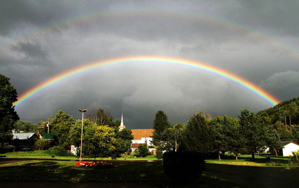
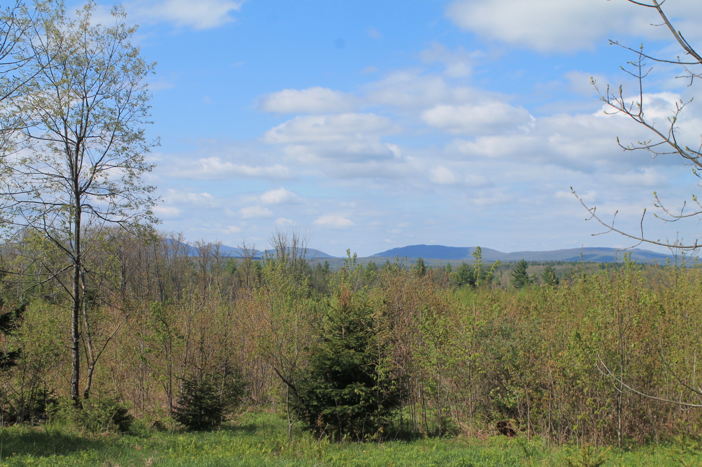
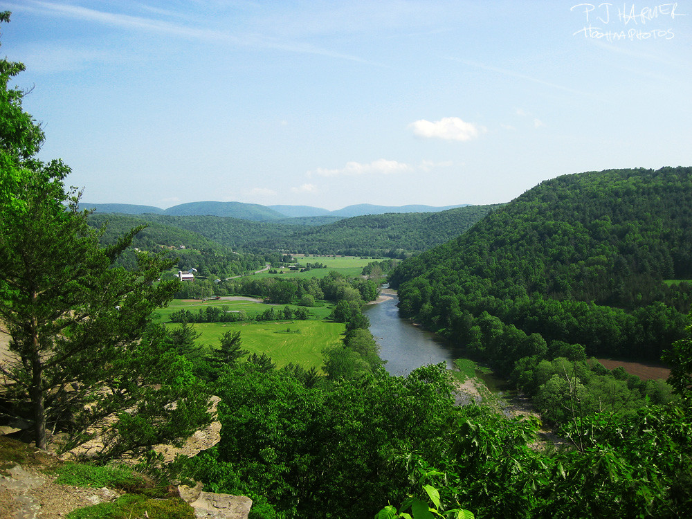
September 4 (247/365)

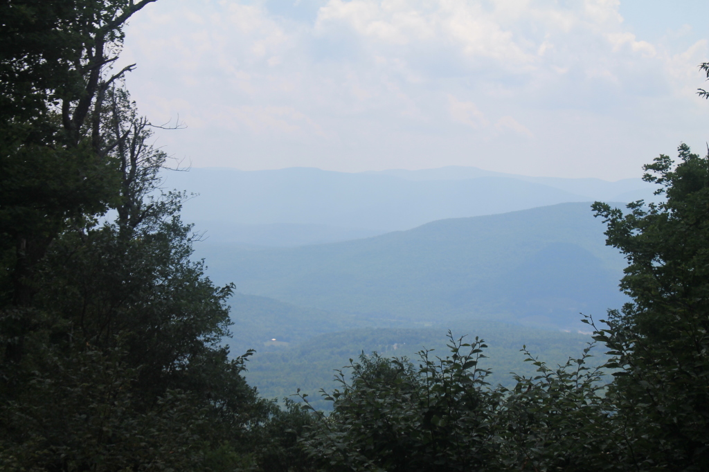
cst-hills

Mine Kill State Park

Grand Gorge, NY 20031014 076 view from New York State Route 30

View of Gorge Walls

Little Known View of Mine Kill Falls

Grand Gorge, NY 20031014 075 view from New York State Route 30

Mine Kill State Park
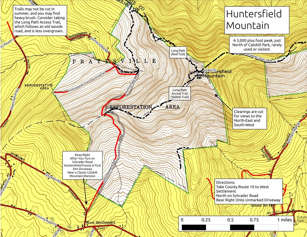
Huntersfield Mountain
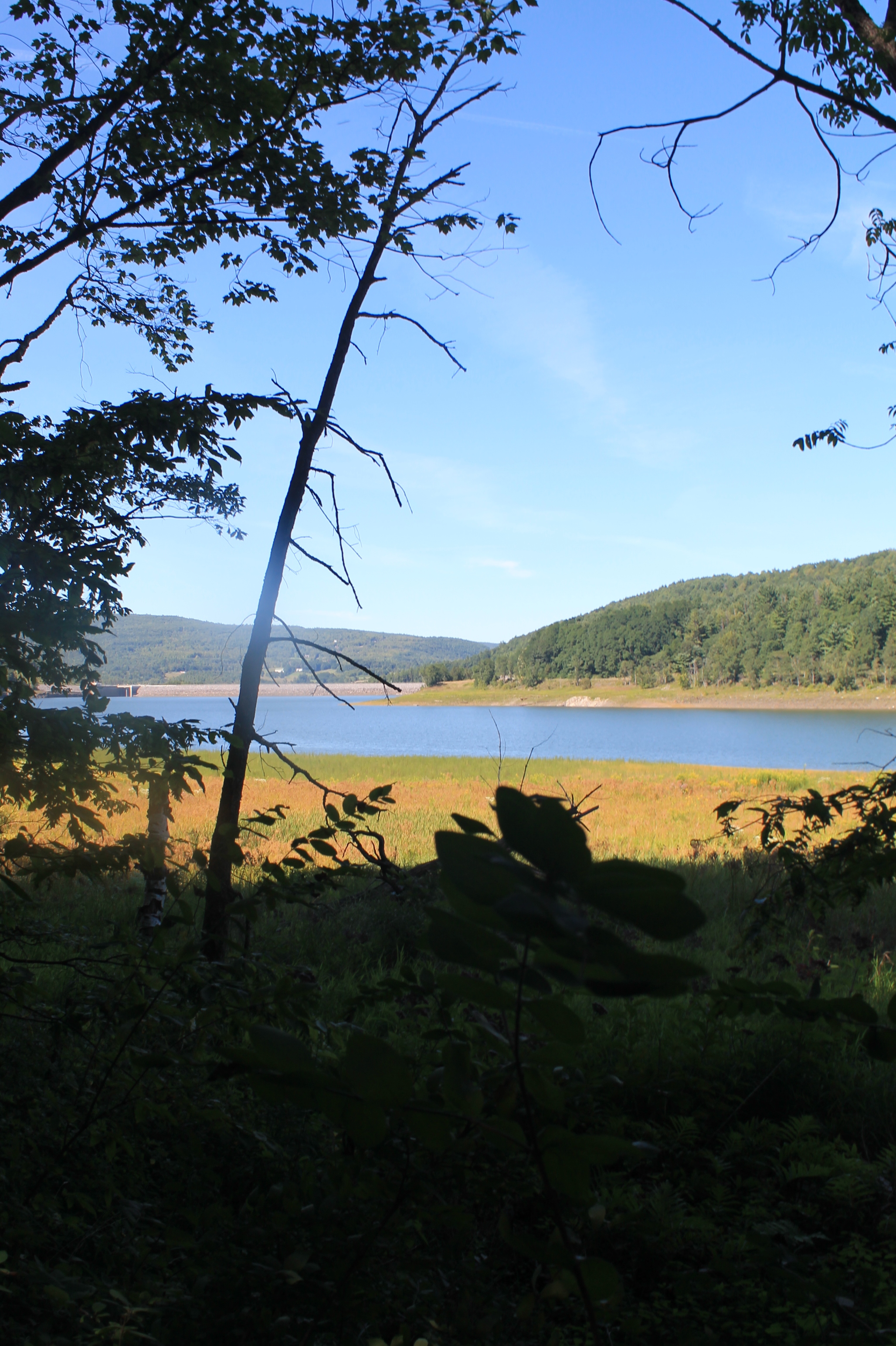
Reservior View
View from Summit of Huntersfield Mountain
Another View from the Clear Cut
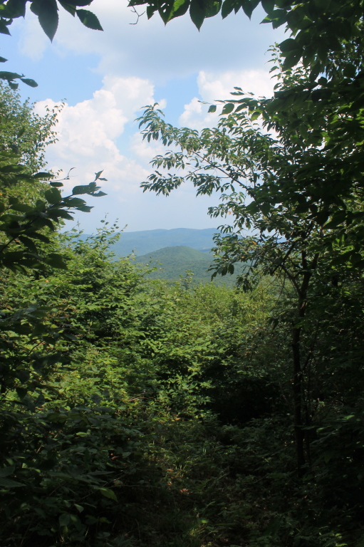
View Into Valley
View of Ashland Pinacle

View Towards Clearing
View from Summit of Huntersfield Mountain
From the top

View from the overlook
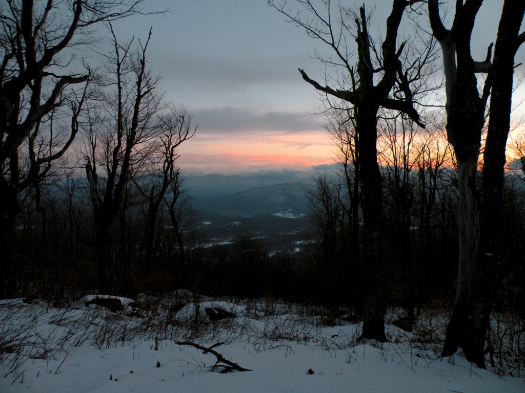
View from Lean-To

fossil beach view
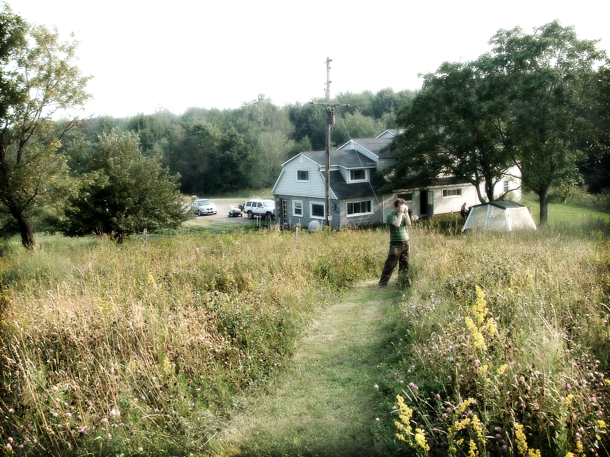
The Aspiring Photographers

Gone Fishing
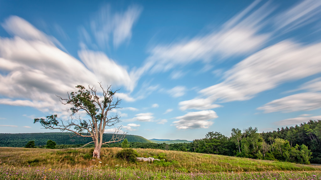
A Tree
Mill Creek Falls

IMAG0391.jpg
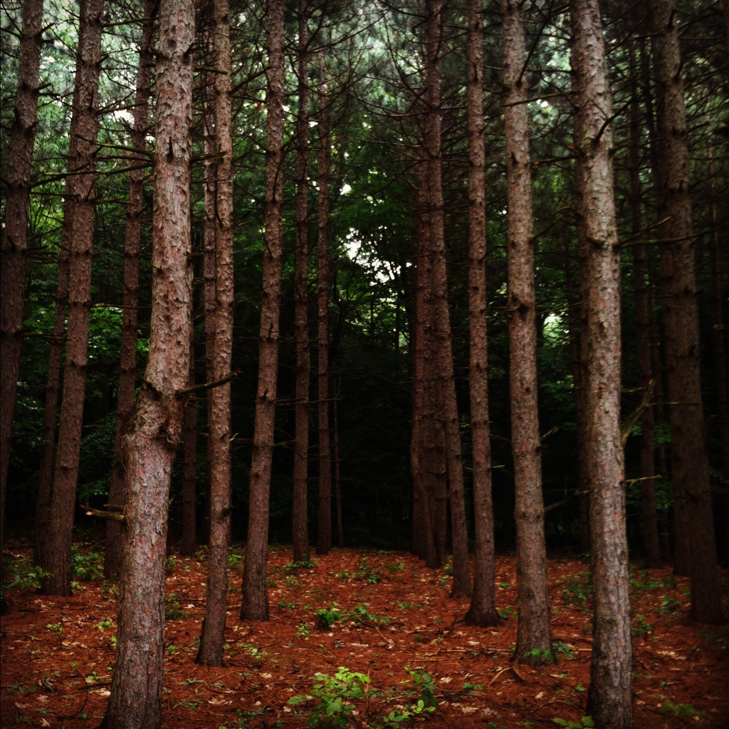
into the woods..
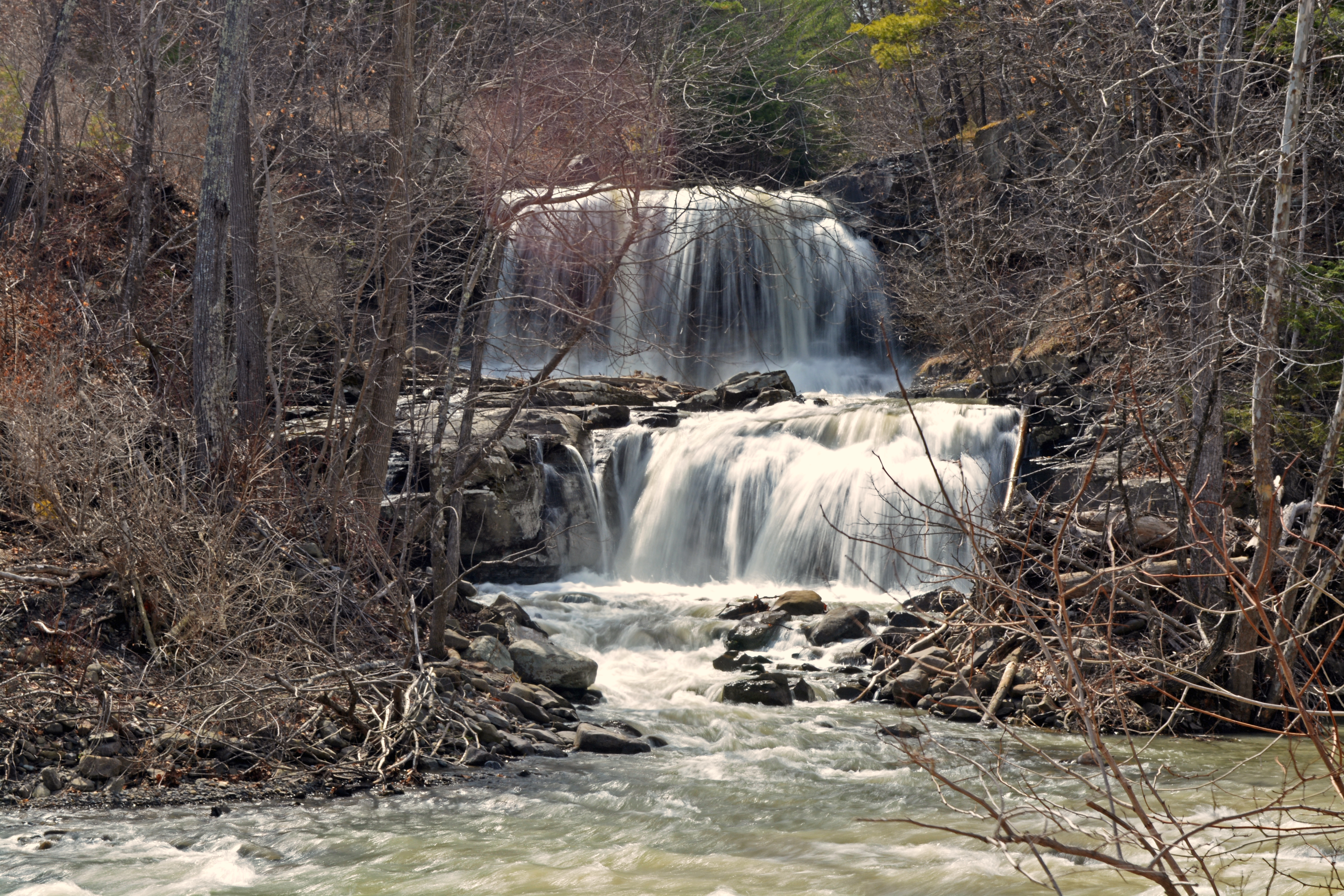
Mine Kill Falls
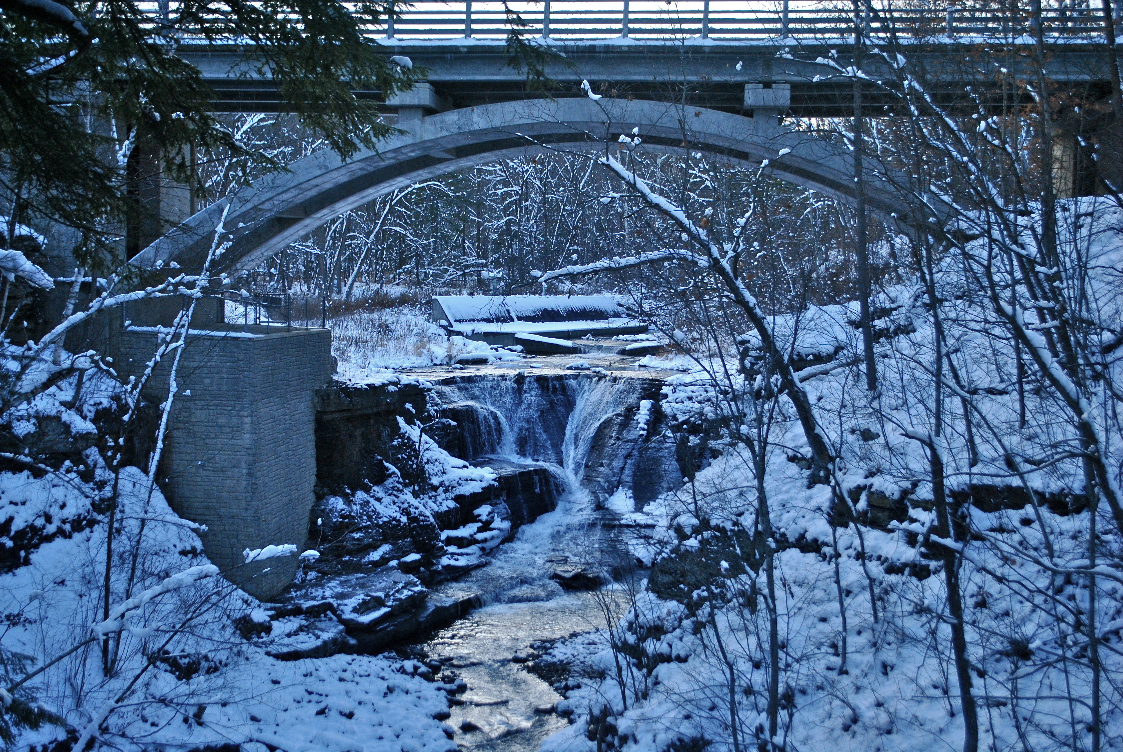
Minekill Bridge

IMAG0390.jpg

Thanksgiving morning walk.

Mine Kill State Park

Some Color

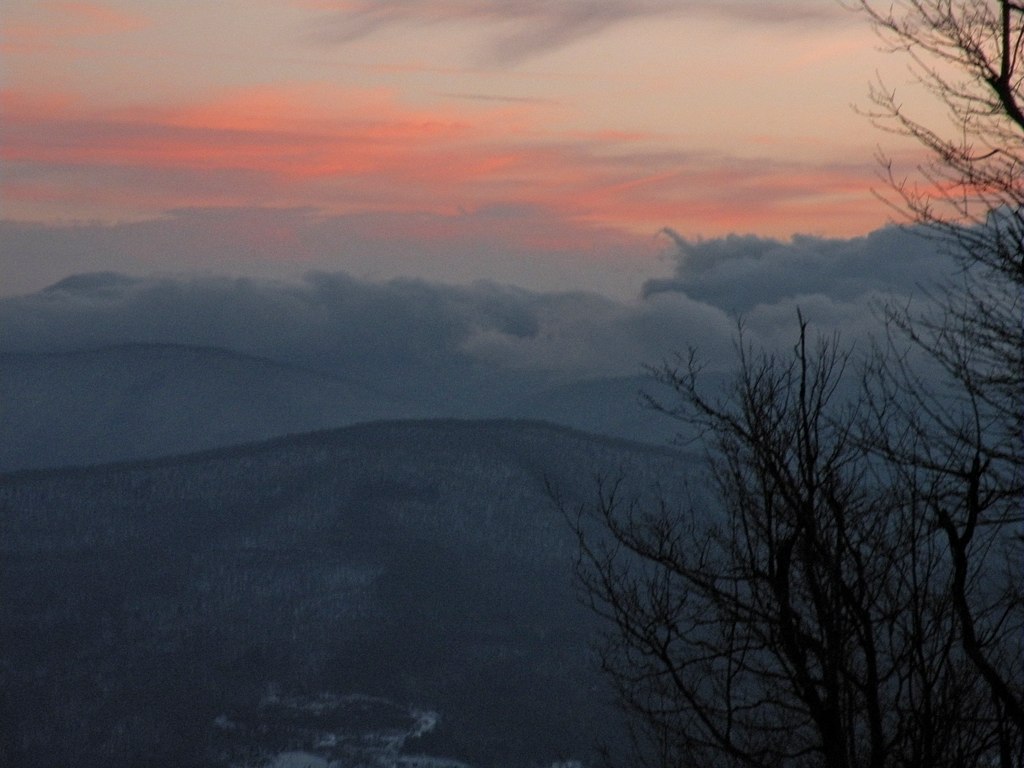
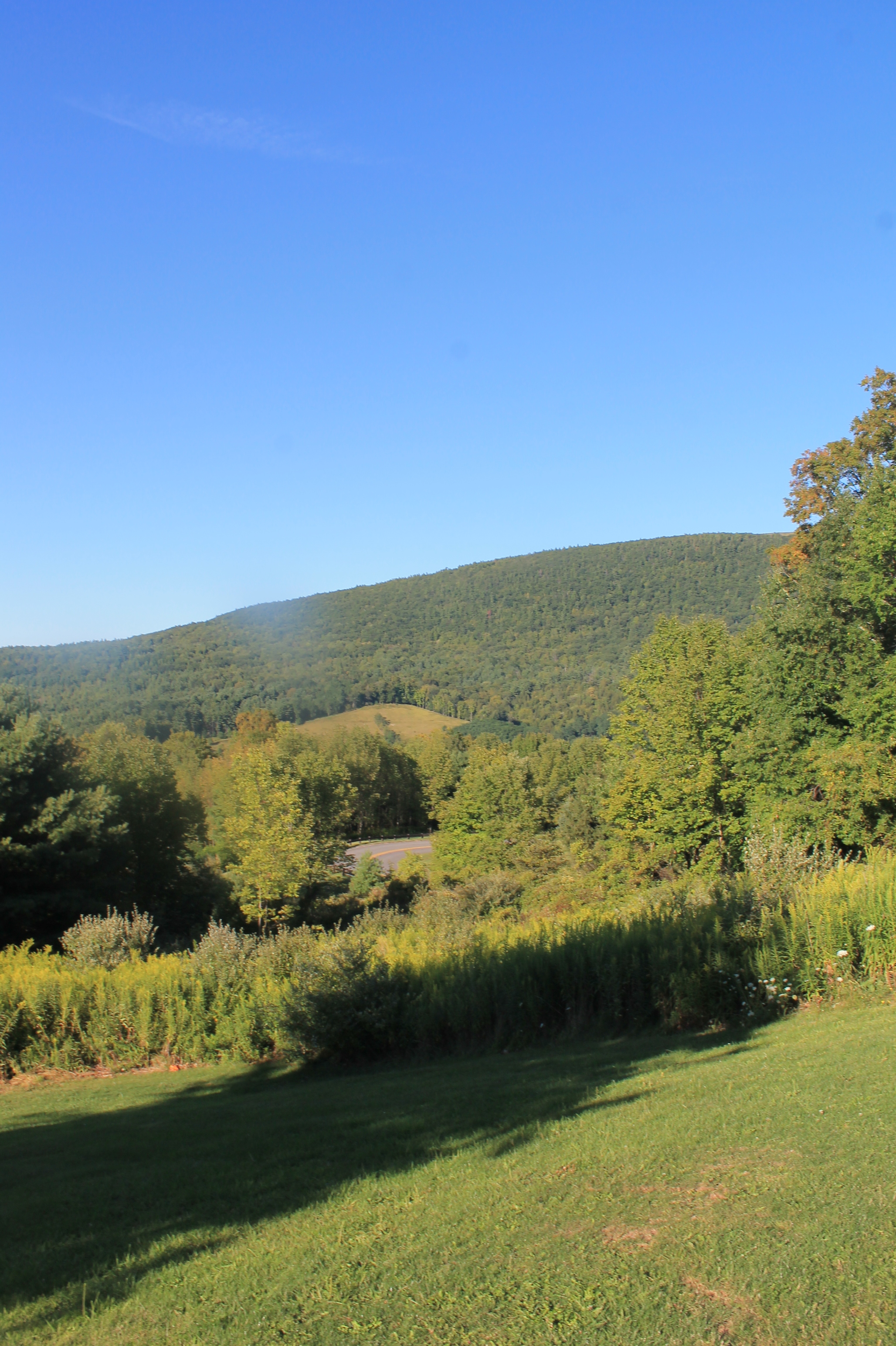
Windham Mountain Vista

Narrow Notch Road Across Township Valley

Mine Kill State Park

Gilboa Bales
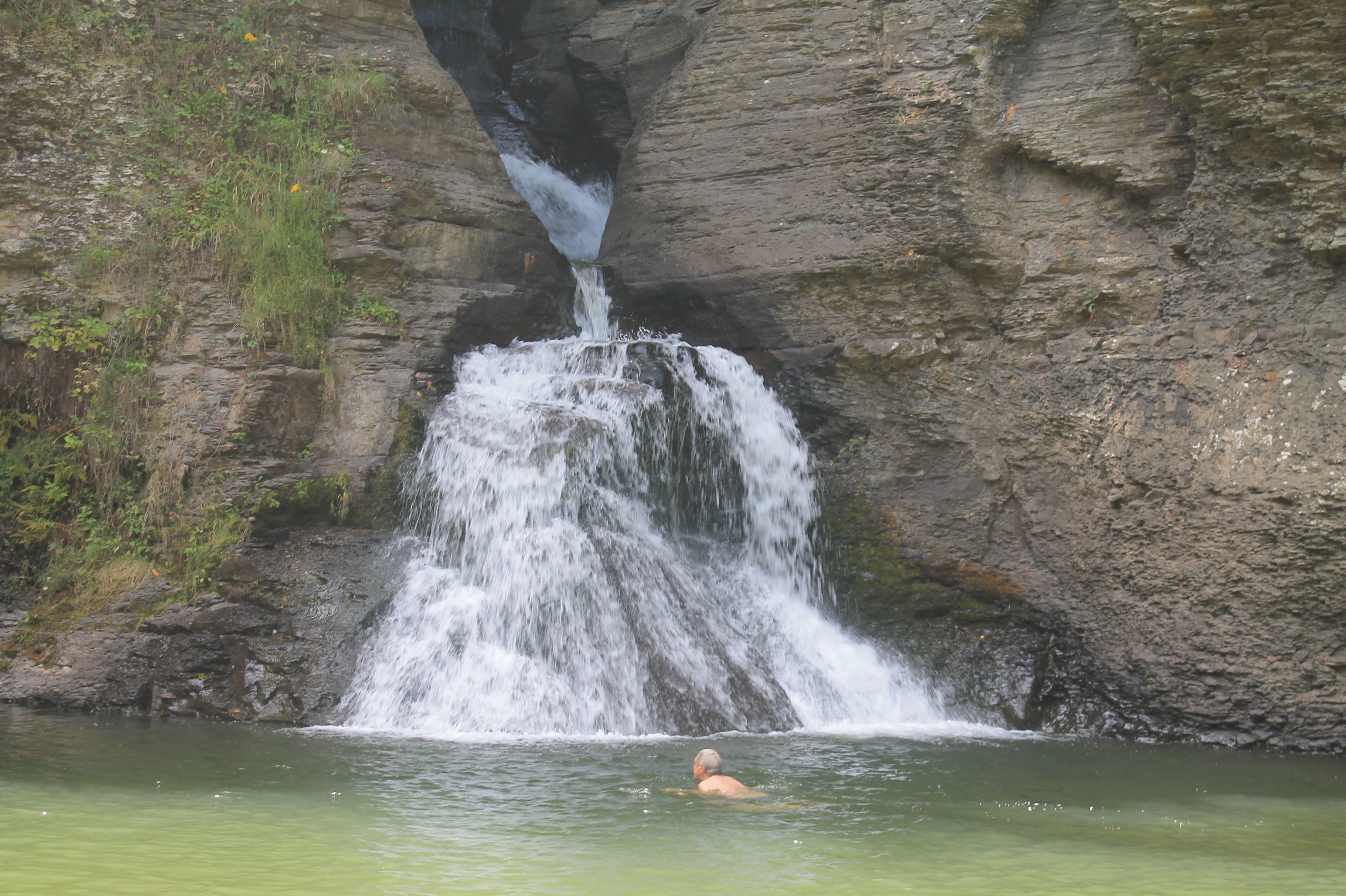
Swimmer Below Lower Falls

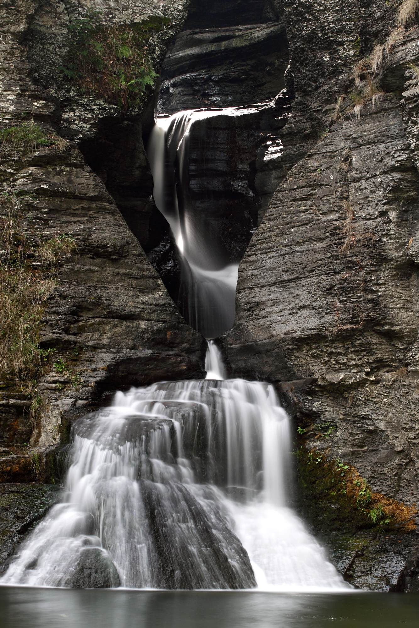
Upper Waterfall
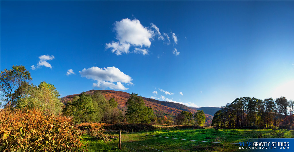
Catskill Mountain Pano 1
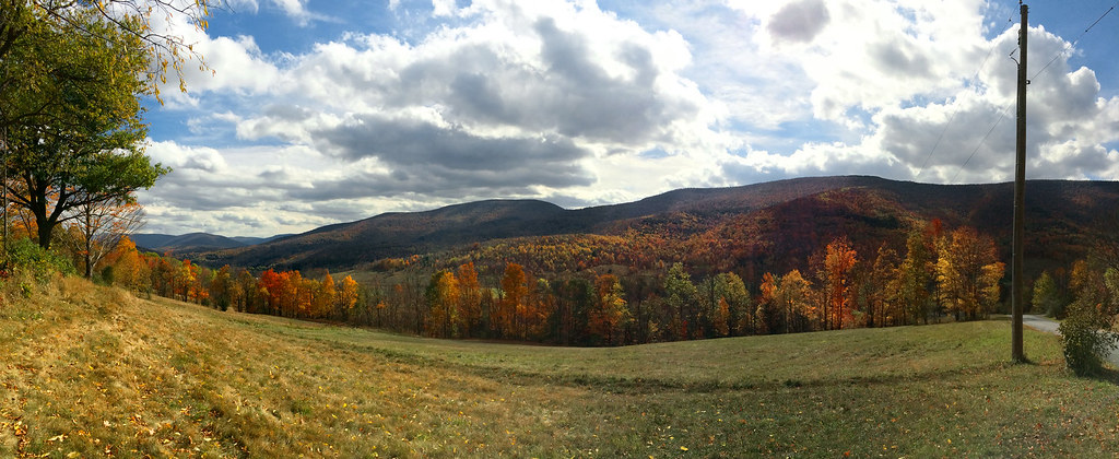
Catskills Panorama
Greene County
Topographic Map of Gilboa, NY, USA
Find elevation by address:

Places in Gilboa, NY, USA:
Places near Gilboa, NY, USA:
630 Ny-30
1247 S Gilboa Rd
277 Peter's Ln
240 Parliman Rd
Parliman Road
Gilboa Dam
Gilboa
Mine Kill State Park
655 S Gilboa Rd
Shew Hollow Road
606 Porn Rd
36368 Ny-23
1061 Shew Hollow Rd
Schoharie Reservoir
NY-V, Gilboa, NY, USA
113 Bull Hill Rd
Jump Brook Road
Hall Road
North Blenheim
Blenheim
Recent Searches:
- Elevation of 2881, Chabot Drive, San Bruno, San Mateo County, California, 94066, USA
- Elevation of 10370, West 107th Circle, Westminster, Jefferson County, Colorado, 80021, USA
- Elevation of 611, Roman Road, Old Ford, Bow, London, England, E3 2RW, United Kingdom
- Elevation of 116, Beartown Road, Underhill, Chittenden County, Vermont, 05489, USA
- Elevation of Window Rock, Colfax County, New Mexico, 87714, USA
- Elevation of 4807, Rosecroft Street, Kempsville Gardens, Virginia Beach, Virginia, 23464, USA
- Elevation map of Matawinie, Quebec, Canada
- Elevation of Sainte-Émélie-de-l'Énergie, Matawinie, Quebec, Canada
- Elevation of Rue du Pont, Sainte-Émélie-de-l'Énergie, Matawinie, Quebec, J0K2K0, Canada
- Elevation of 8, Rue de Bécancour, Blainville, Thérèse-De Blainville, Quebec, J7B1N2, Canada
- Elevation of Wilmot Court North, 163, University Avenue West, Northdale, Waterloo, Region of Waterloo, Ontario, N2L6B6, Canada
- Elevation map of Panamá Province, Panama
- Elevation of Balboa, Panamá Province, Panama
- Elevation of San Miguel, Balboa, Panamá Province, Panama
- Elevation of Isla Gibraleón, San Miguel, Balboa, Panamá Province, Panama
- Elevation of 4655, Krischke Road, Schulenburg, Fayette County, Texas, 78956, USA
- Elevation of Carnegie Avenue, Downtown Cleveland, Cleveland, Cuyahoga County, Ohio, 44115, USA
- Elevation of Walhonding, Coshocton County, Ohio, USA
- Elevation of Clifton Down, Clifton, Bristol, City of Bristol, England, BS8 3HU, United Kingdom
- Elevation map of Auvergne-Rhône-Alpes, France