Elevation of Mine Kill State Park, Mine Kill Road, North Blenheim, NY, USA
Location: United States > New York > Schoharie County > North Blenheim >
Longitude: -74.462820
Latitude: 42.4332327
Elevation: 341m / 1119feet
Barometric Pressure: 97KPa
Elevation Map:
Satellite Map:
Related Photos:
A different kind of Flyer.
Window view through curtain.
September 4 (247/365)
On Mount Utsayantha

Warner 10

cst-hills

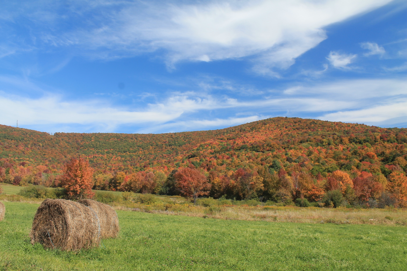
Mine Kill State Park

Grand Gorge, NY 20031014 076 view from New York State Route 30

Grand Gorge, NY 20031014 075 view from New York State Route 30

View of Gorge Walls

Time for take off...

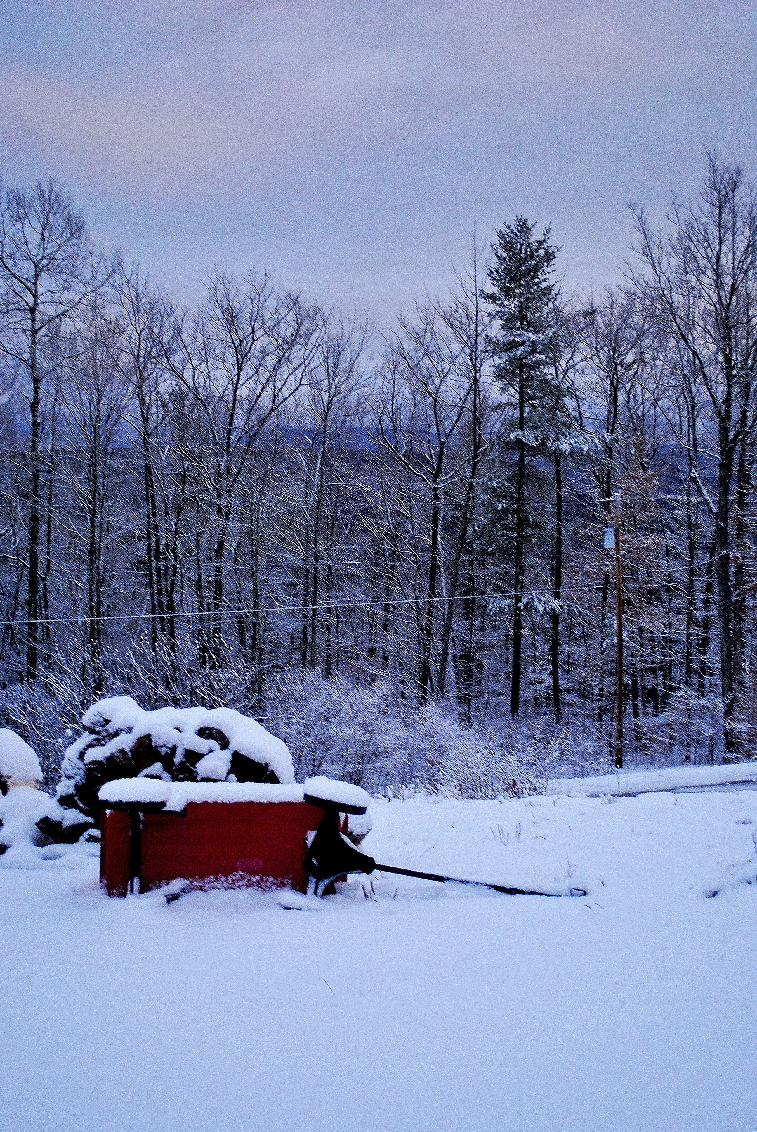
Mine Kill State Park

Little Known View of Mine Kill Falls
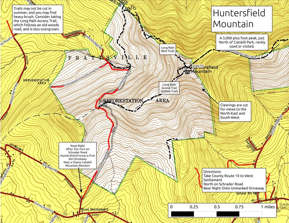
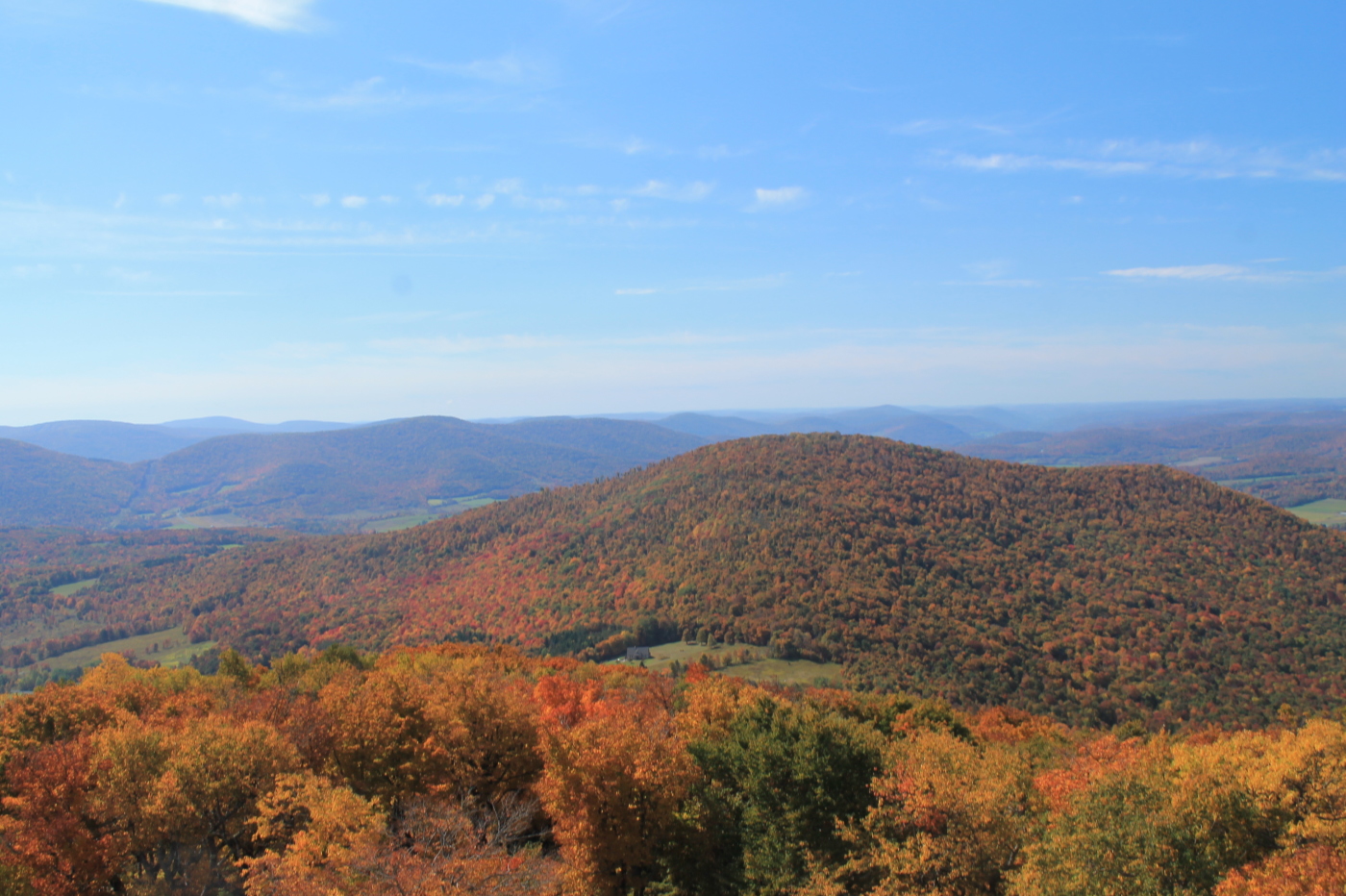
Huntersfield Mountain
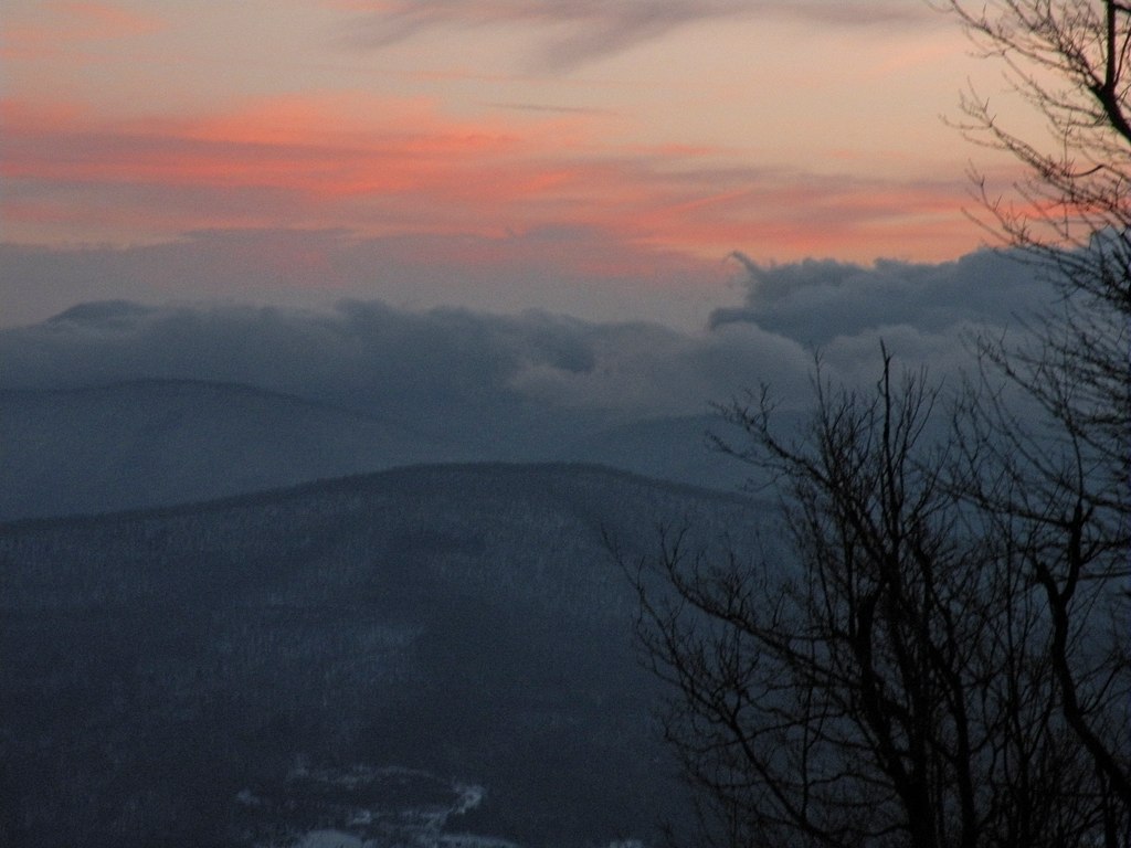
View from Summit of Huntersfield Mountain
View Into Valley
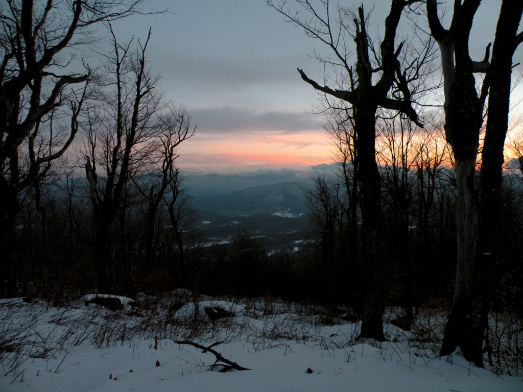
View from Summit of Huntersfield Mountain

View from Middle Landing

View Towards Clearing
Madalyn's Place

View from the overlook

Gone Fishing
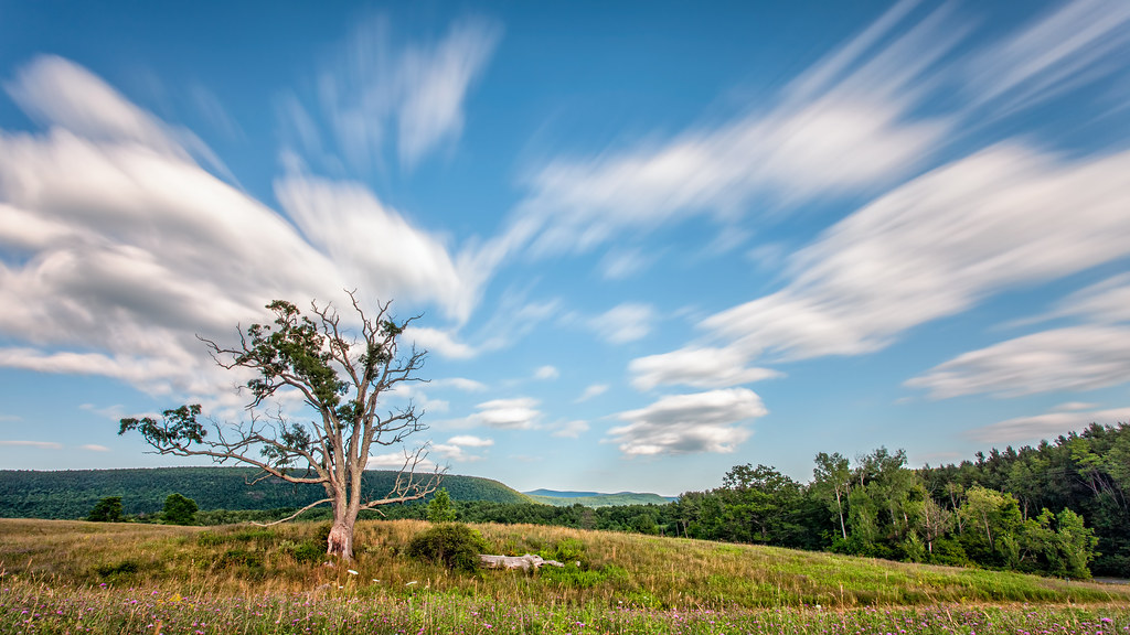
A Tree
Mt Utsayantha
Churchill Mountain and It's Col
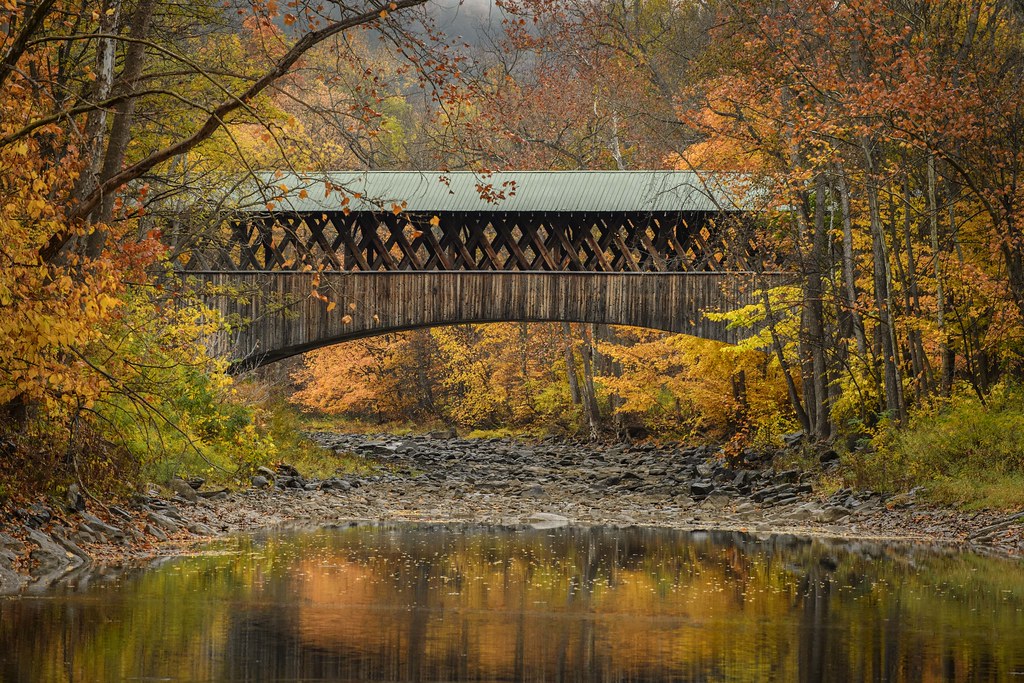
Blenheim Covered Bridge

Waterfall on Tributary of Panther Creek - #12

Waterfall on Tributary of Panther Creek - #12

Waterfall on Tributary of Panther Creek - #10
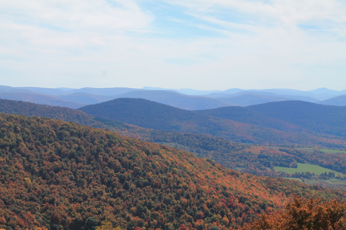
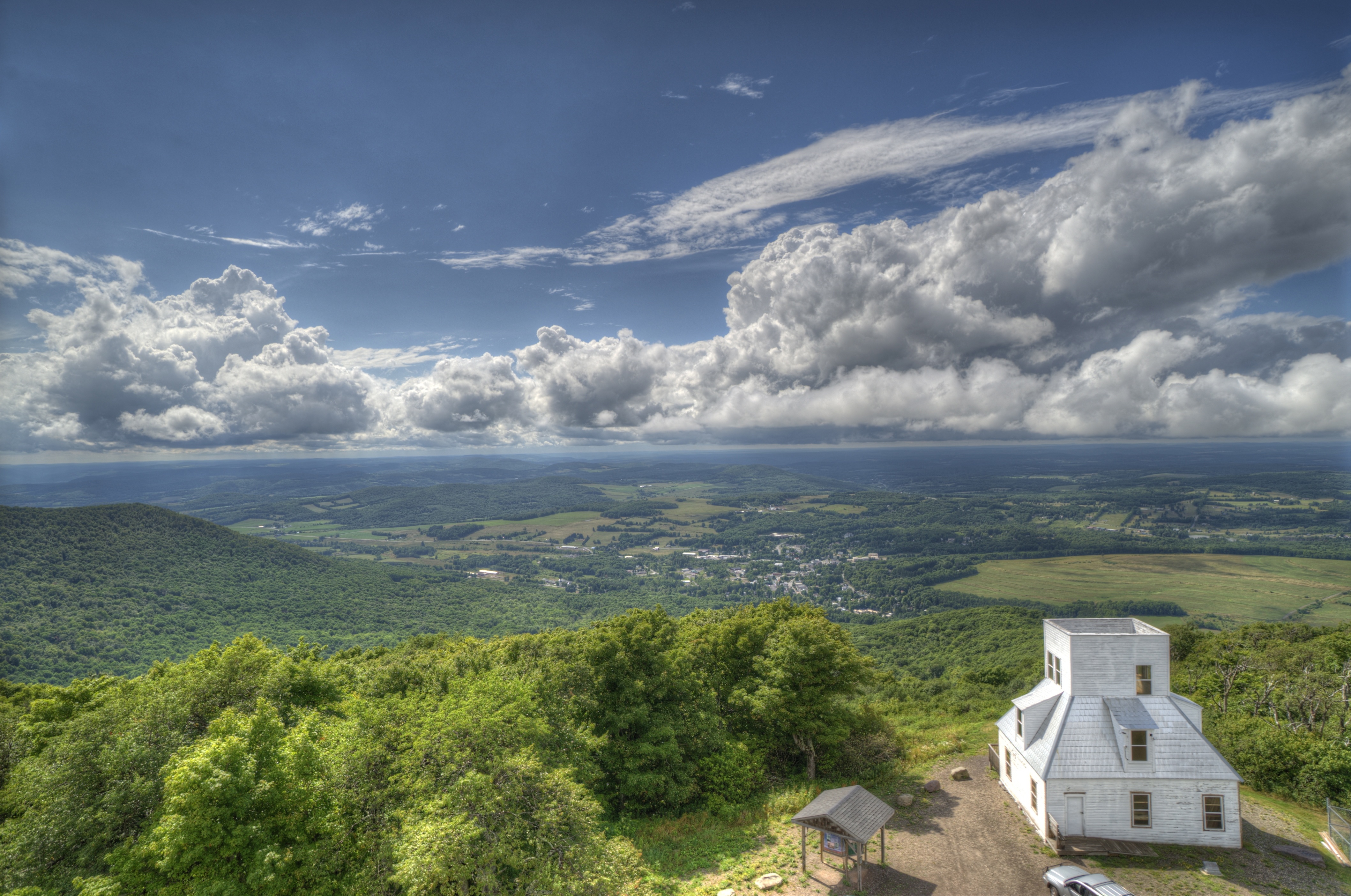
Catskill Mountains from the Firetower

Waterfall on Tributary of Panther Creek - #13

Waterfall on Tributary of Panther Creek - #9

Waterfall on Tributary of Panther Creek - #11
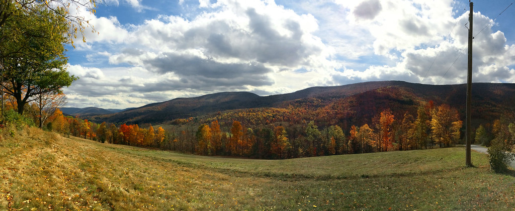
Catskills Panorama
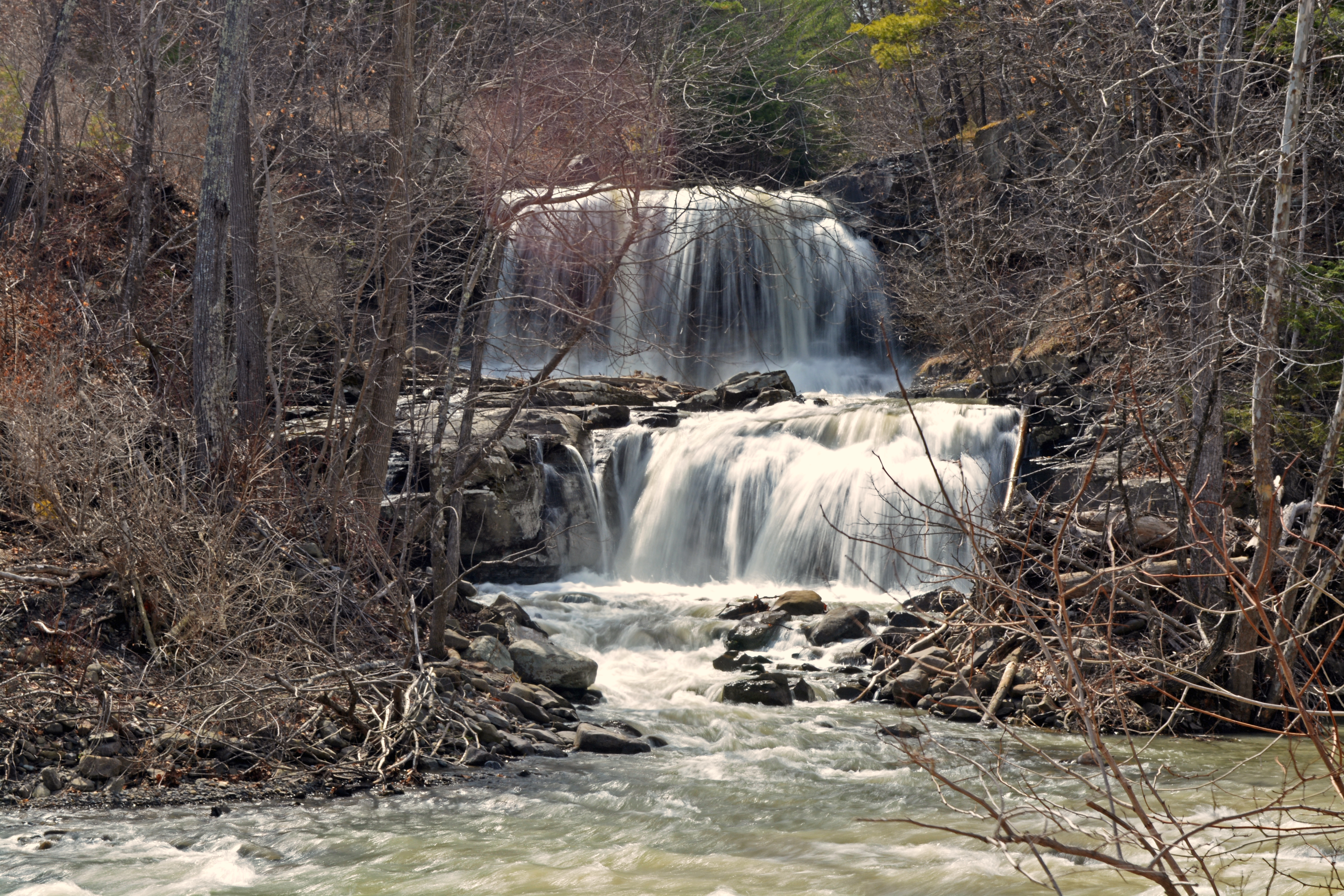
Mill Creek Falls

IMAG0391.jpg
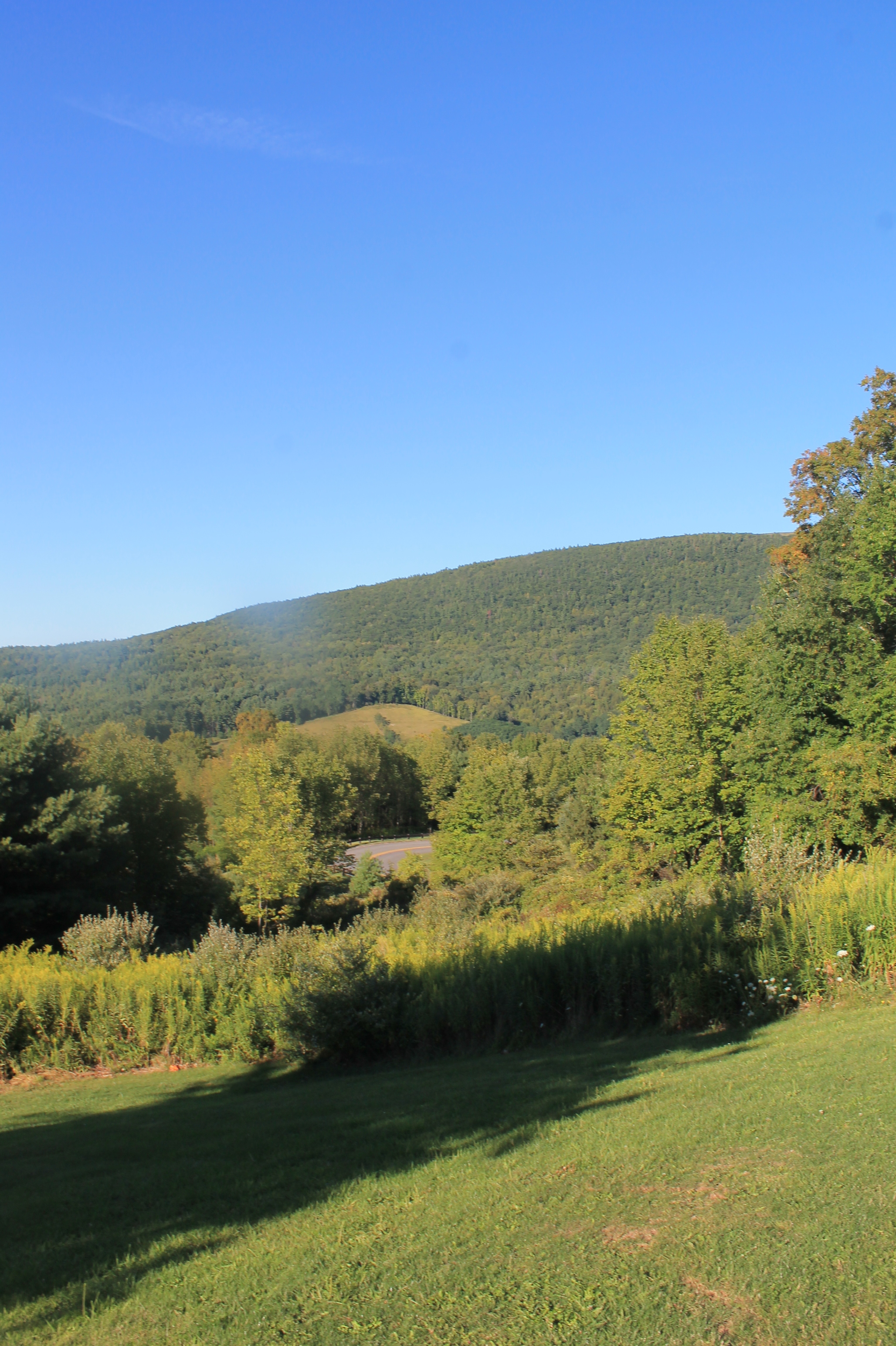
Moresville Range

top o' the hill

Middleburgh,NY
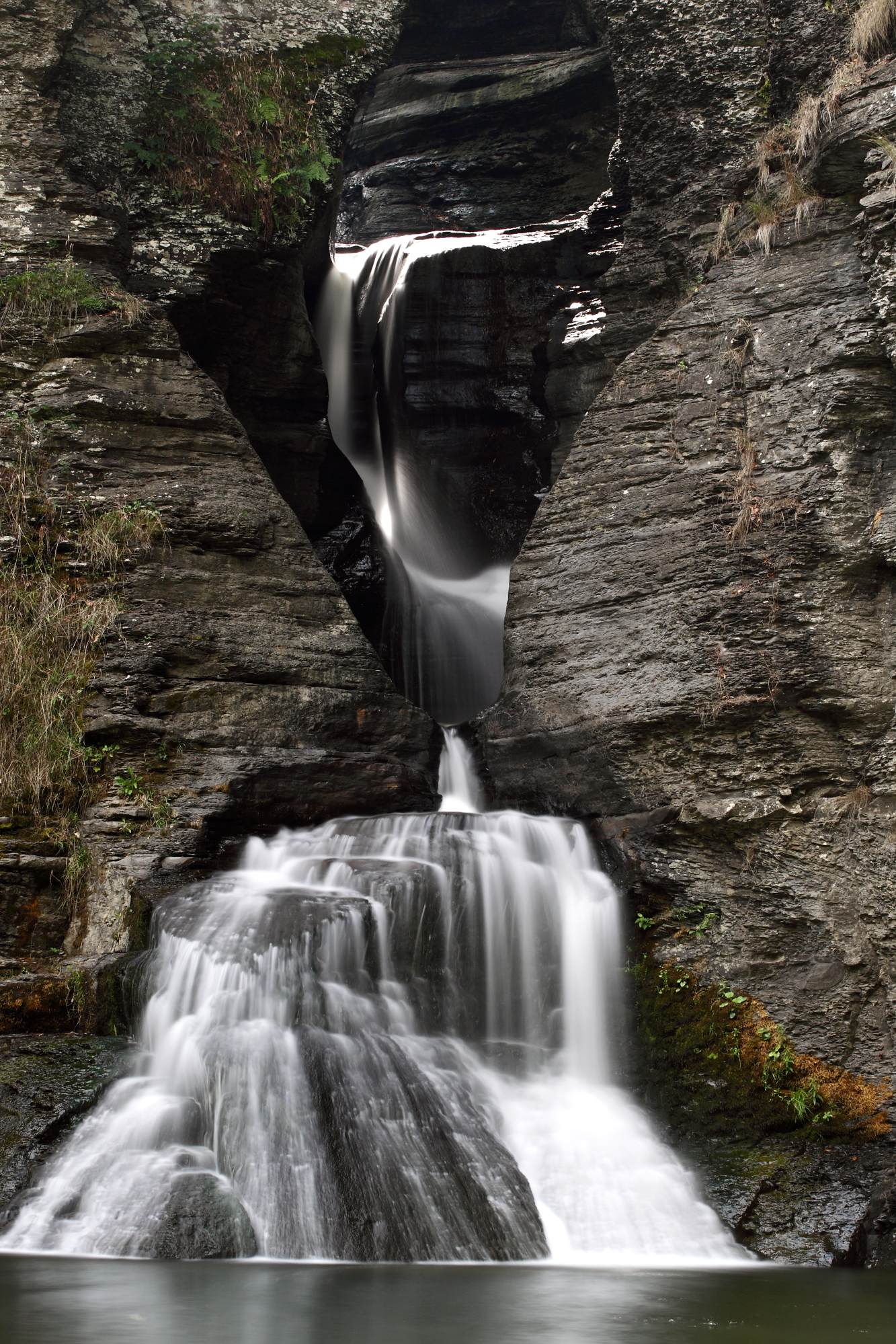
Mine Kill Falls

DSC_0084.JPG
Topographic Map of Mine Kill State Park, Mine Kill Road, North Blenheim, NY, USA
Find elevation by address:

Places near Mine Kill State Park, Mine Kill Road, North Blenheim, NY, USA:
630 Ny-30
Gilboa
Gilboa
Shew Hollow Road
North Blenheim
Hall Road
Gilboa Dam
1247 S Gilboa Rd
Blenheim
1061 Shew Hollow Rd
North Blenheim, NY, USA
277 Peter's Ln
222 Silver Mine Rd
Bremer Rd, Gilboa, NY, USA
240 Parliman Rd
655 S Gilboa Rd
Parliman Road
Harrington Road
606 Porn Rd
NY-V, Gilboa, NY, USA
Recent Searches:
- Elevation of Corso Fratelli Cairoli, 35, Macerata MC, Italy
- Elevation of Tallevast Rd, Sarasota, FL, USA
- Elevation of 4th St E, Sonoma, CA, USA
- Elevation of Black Hollow Rd, Pennsdale, PA, USA
- Elevation of Oakland Ave, Williamsport, PA, USA
- Elevation of Pedrógão Grande, Portugal
- Elevation of Klee Dr, Martinsburg, WV, USA
- Elevation of Via Roma, Pieranica CR, Italy
- Elevation of Tavkvetili Mountain, Georgia
- Elevation of Hartfords Bluff Cir, Mt Pleasant, SC, USA