Elevation of N Pine-Featherville Rd, Idaho, USA
Location: United States > Idaho > Elmore County >
Longitude: -115.26502
Latitude: 43.607295
Elevation: 1383m / 4537feet
Barometric Pressure: 86KPa
Elevation Map:
Satellite Map:
Related Photos:

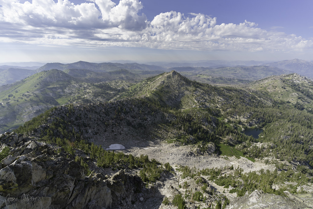
Poo with a view

Hike for another day

Trinity Lookout
View north

Grizzly Adams

Big Lookout Lake

Emerald Water

Baumgartner Hot Spring

Big Trinity Lake

In a single bound

Good morning grass

No moose

Burn around Little Trinity Lake

Big Roaring River Lake

The way back

Rainbow Basin

Where we’ve been

White road, black trees

Elk Falls

Edge of the burn area

Do not adjust your set

Hazard tree

[IDAHO-B-0139] Boise River - Pine
Topographic Map of N Pine-Featherville Rd, Idaho, USA
Find elevation by address:

Places near N Pine-Featherville Rd, Idaho, USA:
Featherville
N Pine-Featherville Rd, Idaho, USA
3852 N Phil Pl
Chaparral Campground
Baumgartner Camp Ground
255 Yuba Vista Dr
Atlanta
Johnson Creek Campground
Bowns Campground
Sawtooth Wilderness
Sawtooth Range
Twin Lakes
Toxaway Lake
Alice Lake
Alturas Inlet Campground
Sawtooth City
Alturas Tent Campground
Sawtooth National Forest
Grandjean Campground
Chemeketan Campground
Recent Searches:
- Elevation of Corso Fratelli Cairoli, 35, Macerata MC, Italy
- Elevation of Tallevast Rd, Sarasota, FL, USA
- Elevation of 4th St E, Sonoma, CA, USA
- Elevation of Black Hollow Rd, Pennsdale, PA, USA
- Elevation of Oakland Ave, Williamsport, PA, USA
- Elevation of Pedrógão Grande, Portugal
- Elevation of Klee Dr, Martinsburg, WV, USA
- Elevation of Via Roma, Pieranica CR, Italy
- Elevation of Tavkvetili Mountain, Georgia
- Elevation of Hartfords Bluff Cir, Mt Pleasant, SC, USA