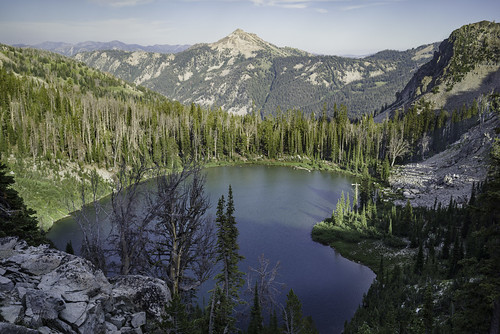
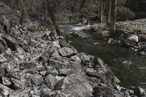
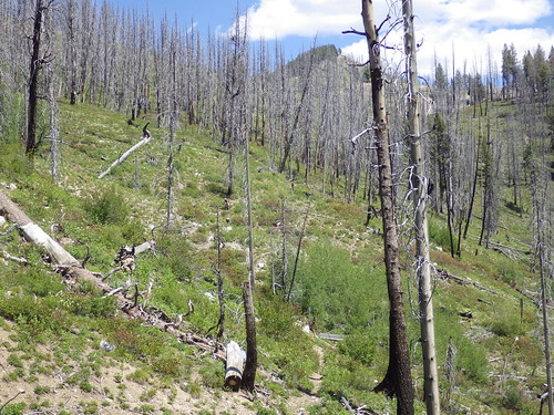
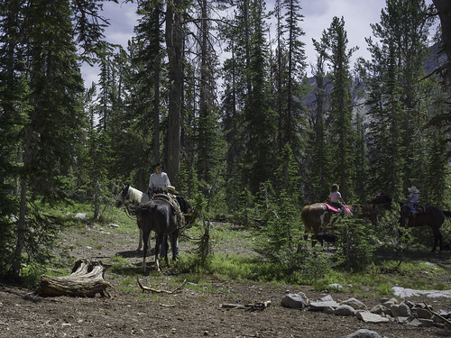
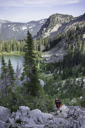
Elevation of Baumgartner Camp Ground, Mountain Home, ID, USA
Longitude: -115.07658
Latitude: 43.6059659
Elevation: 1495m / 4905feet
Barometric Pressure: 85KPa
Related Photos:
Topographic Map of Baumgartner Camp Ground, Mountain Home, ID, USA
Find elevation by address:

Places near Baumgartner Camp Ground, Mountain Home, ID, USA:
Chaparral Campground
N Pine-Featherville Rd, Idaho, USA
Featherville
3852 N Phil Pl
4277 N Pine-featherville Rd
Bowns Campground
255 Yuba Vista Dr
Atlanta
Twin Lakes
Sawtooth Range
Alturas Inlet Campground
Alice Lake
Toxaway Lake
Sawtooth City
Sawtooth National Forest
Alturas Tent Campground
Johnson Creek Campground
Sawtooth Wilderness
Chemeketan Campground
Galena Summit
Recent Searches:
- Elevation of Corso Fratelli Cairoli, 35, Macerata MC, Italy
- Elevation of Tallevast Rd, Sarasota, FL, USA
- Elevation of 4th St E, Sonoma, CA, USA
- Elevation of Black Hollow Rd, Pennsdale, PA, USA
- Elevation of Oakland Ave, Williamsport, PA, USA
- Elevation of Pedrógão Grande, Portugal
- Elevation of Klee Dr, Martinsburg, WV, USA
- Elevation of Via Roma, Pieranica CR, Italy
- Elevation of Tavkvetili Mountain, Georgia
- Elevation of Hartfords Bluff Cir, Mt Pleasant, SC, USA

