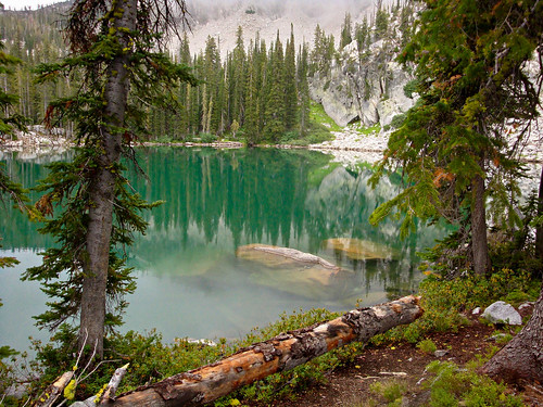
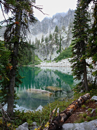
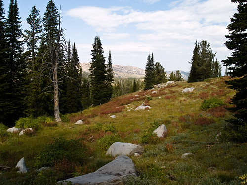
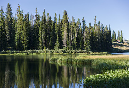
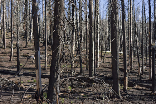
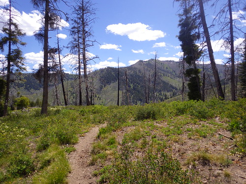
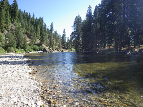
Elevation of N Pine-Featherville Rd, Idaho, USA
Location: United States > Idaho > Elmore County >
Longitude: -115.25716
Latitude: 43.610064
Elevation: 1384m / 4541feet
Barometric Pressure: 86KPa
Related Photos:
Topographic Map of N Pine-Featherville Rd, Idaho, USA
Find elevation by address:

Places near N Pine-Featherville Rd, Idaho, USA:
Featherville
4277 N Pine-featherville Rd
3852 N Phil Pl
Chaparral Campground
Baumgartner Camp Ground
255 Yuba Vista Dr
Atlanta
Johnson Creek Campground
Bowns Campground
Sawtooth Wilderness
Sawtooth Range
Twin Lakes
Toxaway Lake
Alice Lake
Alturas Inlet Campground
Sawtooth City
Alturas Tent Campground
Sawtooth National Forest
Grandjean Campground
Chemeketan Campground
Recent Searches:
- Elevation of Corso Fratelli Cairoli, 35, Macerata MC, Italy
- Elevation of Tallevast Rd, Sarasota, FL, USA
- Elevation of 4th St E, Sonoma, CA, USA
- Elevation of Black Hollow Rd, Pennsdale, PA, USA
- Elevation of Oakland Ave, Williamsport, PA, USA
- Elevation of Pedrógão Grande, Portugal
- Elevation of Klee Dr, Martinsburg, WV, USA
- Elevation of Via Roma, Pieranica CR, Italy
- Elevation of Tavkvetili Mountain, Georgia
- Elevation of Hartfords Bluff Cir, Mt Pleasant, SC, USA

