Elevation of Bowns Campground, Big Smoky Rd, Fairfield, ID, USA
Location: United States > Idaho > Camas County > Indian Head Rock >
Longitude: -114.88189
Latitude: 43.606801
Elevation: 1668m / 5472feet
Barometric Pressure: 83KPa
Elevation Map:
Satellite Map:
Related Photos:
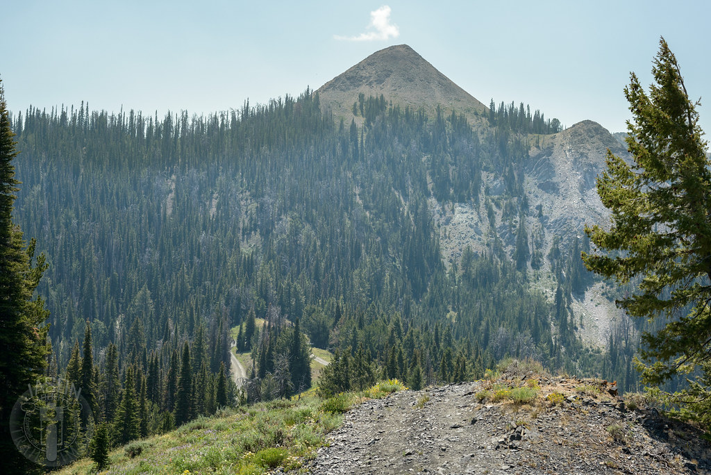
Atop Dollarhide
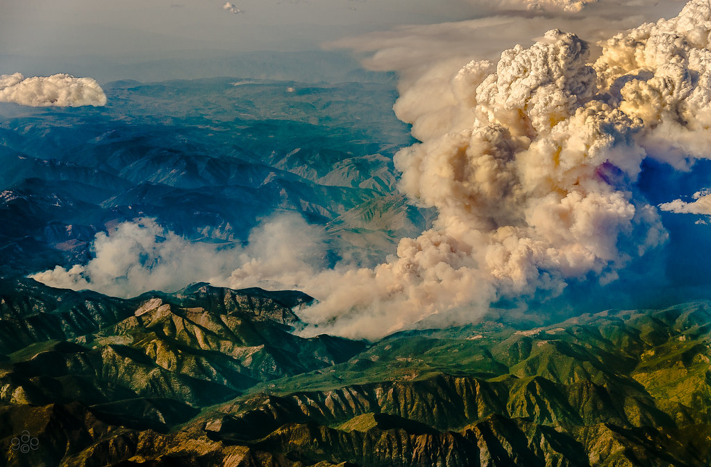
Idaho burns: a closer approach

Idaho burns

Baumgartner Hot Spring

Jump right in

There was a road here

South Fork valley

Chair Lift

Worsick Hot Springs
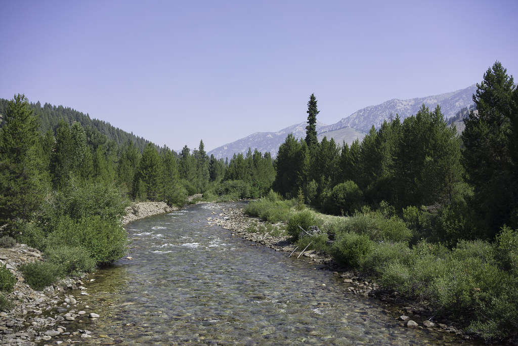
Across the Boise

Huge snow plain in front of snow mountains. What a beauty to behold...
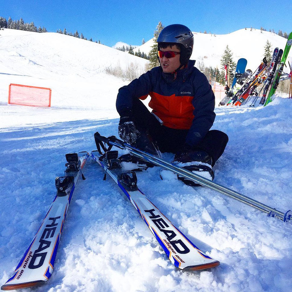
You may fall, but picking yourself up after the fall will make you stronger... Ski away!
Topographic Map of Bowns Campground, Big Smoky Rd, Fairfield, ID, USA
Find elevation by address:

Places near Bowns Campground, Big Smoky Rd, Fairfield, ID, USA:
Baumgartner Camp Ground
Chemeketan Campground
Sawtooth City
Sawtooth National Forest
Baker Creek
Alturas Inlet Campground
255 Yuba Vista Dr
Galena Summit
Atlanta
Alturas Tent Campground
Chaparral Campground
Alice Lake
Twin Lakes
Galena
Galena Lodge
ID-75, Ketchum, ID, USA
Sawtooth Range
Toxaway Lake
N Pine-Featherville Rd, Idaho, USA
Featherville
Recent Searches:
- Elevation of Corso Fratelli Cairoli, 35, Macerata MC, Italy
- Elevation of Tallevast Rd, Sarasota, FL, USA
- Elevation of 4th St E, Sonoma, CA, USA
- Elevation of Black Hollow Rd, Pennsdale, PA, USA
- Elevation of Oakland Ave, Williamsport, PA, USA
- Elevation of Pedrógão Grande, Portugal
- Elevation of Klee Dr, Martinsburg, WV, USA
- Elevation of Via Roma, Pieranica CR, Italy
- Elevation of Tavkvetili Mountain, Georgia
- Elevation of Hartfords Bluff Cir, Mt Pleasant, SC, USA