Elevation of Indian Head Rock, ID, USA
| Latitude | 43.5551792 |
|---|---|
| Longitude | -114.8014535 |
| Elevation | 1890m / 6201feet |
| Barometric Pressure | 806KPa |
Related Photos:
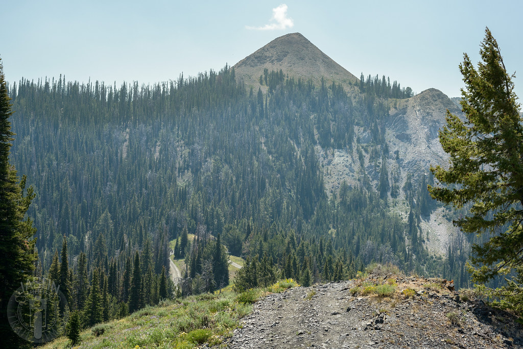
Atop Dollarhide
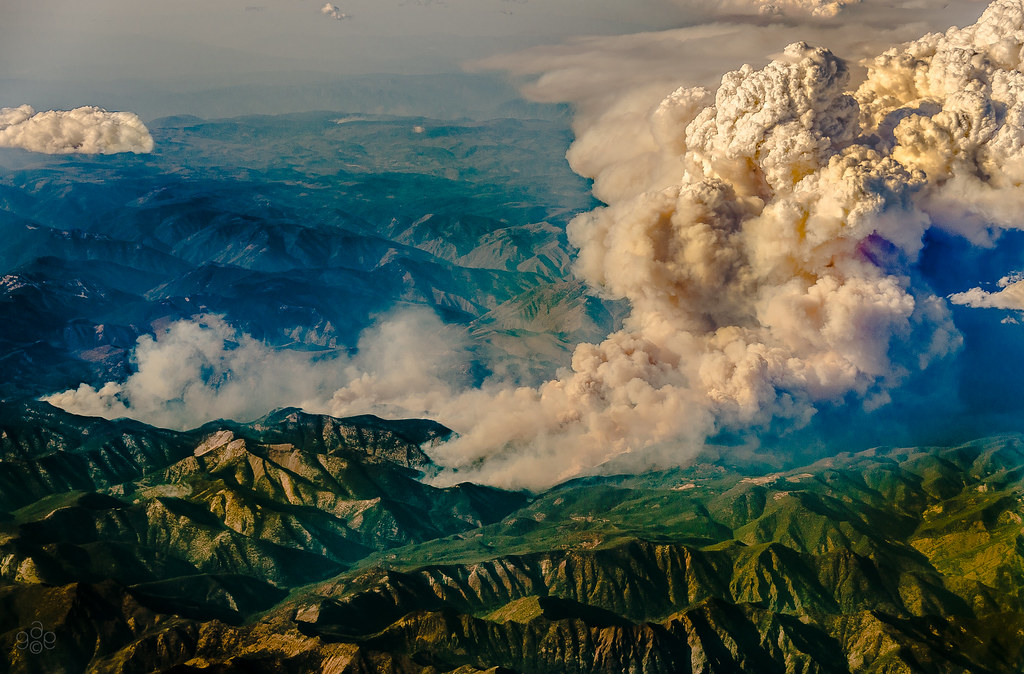
Idaho burns: a closer approach

Idaho burns

Jump right in

Chair Lift

Worsick Hot Springs

There was a road here

South Fork valley

Huge snow plain in front of snow mountains. What a beauty to behold...

You may fall, but picking yourself up after the fall will make you stronger... Ski away!

Air St. Lukes Idaho
Topographic Map of Indian Head Rock, ID, USA
Find elevation by address:
Places in Indian Head Rock, ID, USA:
Places near Indian Head Rock, ID, USA:
Camas County
Silver Brush Road
Homestead Road
Soldier
Base Line Rd, Fairfield, ID, USA
Base Line Road
Fairfield
Rancho Cielo Road
Croy Creek Rd, Hailey, ID, USA
3748 N Phil Pl
Valley Club Dr & Stone Bridges Rd
E Paradise Dr, Mountain Home, ID, USA
Paradise Hot Springs
11 Hidden Lake Dr
1550 2nd Ave N
1440 2nd Ave N
Hailey
16 Bullion St, Hailey, ID, USA
Pine Street
Magic Resort
Recent Searches:
- Elevation of 104, Chancery Road, Middletown Township, Bucks County, Pennsylvania, 19047, USA
- Elevation of 1212, Cypress Lane, Dayton, Liberty County, Texas, 77535, USA
- Elevation map of Central Hungary, Hungary
- Elevation map of Pest, Central Hungary, Hungary
- Elevation of Pilisszentkereszt, Pest, Central Hungary, Hungary
- Elevation of Dharamkot Tahsil, Punjab, India
- Elevation of Bhinder Khurd, Dharamkot Tahsil, Punjab, India
- Elevation of 2881, Chabot Drive, San Bruno, San Mateo County, California, 94066, USA
- Elevation of 10370, West 107th Circle, Westminster, Jefferson County, Colorado, 80021, USA
- Elevation of 611, Roman Road, Old Ford, Bow, London, England, E3 2RW, United Kingdom
- Elevation of 116, Beartown Road, Underhill, Chittenden County, Vermont, 05489, USA
- Elevation of Window Rock, Colfax County, New Mexico, 87714, USA
- Elevation of 4807, Rosecroft Street, Kempsville Gardens, Virginia Beach, Virginia, 23464, USA
- Elevation map of Matawinie, Quebec, Canada
- Elevation of Sainte-Émélie-de-l'Énergie, Matawinie, Quebec, Canada
- Elevation of Rue du Pont, Sainte-Émélie-de-l'Énergie, Matawinie, Quebec, J0K2K0, Canada
- Elevation of 8, Rue de Bécancour, Blainville, Thérèse-De Blainville, Quebec, J7B1N2, Canada
- Elevation of Wilmot Court North, 163, University Avenue West, Northdale, Waterloo, Region of Waterloo, Ontario, N2L6B6, Canada
- Elevation map of Panamá Province, Panama
- Elevation of Balboa, Panamá Province, Panama