Elevation of N, Layton, UT, USA
Location: United States > Utah > Davis County > Layton >

Longitude: -111.90685

Latitude: 41.075654

Elevation: 1509m / 4951feet

Barometric Pressure: 84KPa

Elevation Map:

elevation map of N, Layton, UT, USA

Satellite Map:

Satellite map of N, Layton, UT, USA

Related Photos:

utah antelopeisland greatsaltlake dri hdr daviscounty digitalblending tonemapping jssutt jeffsuttlemyre
South end of Antelope Island
horses utah cows explore i84 wasatchrange morgancounty wasatchmountains trappersloop mountaingreen morganvalley pixelmama westtoeastcoastroadtrip
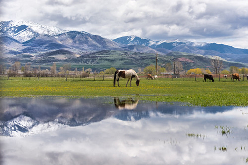
A little piece of Utah paradise
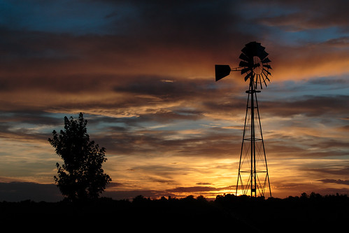
sunset clouds utah contrail greatsaltlake contrails dri hdr daviscounty jssutt jeffsuttlemyre
Contrails and Clouds
sign utah lagoon saltlakecity freeway 1970s 1972 farmington i15 interstate15 us89 buttoncopy biggreensign gloverlane lagoonexit
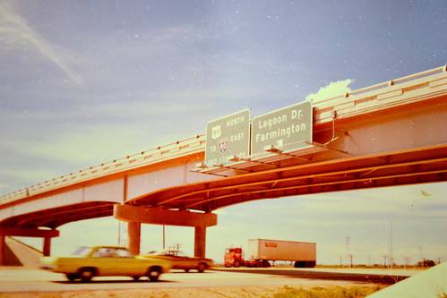
northbound I-15 at 200 West, 1972
church night nikon soft cross christian crucifix coolpix s3300 incamerasoft
church-cross.jpg
sunset utah layton digitalblending hillairforcebase jssutt
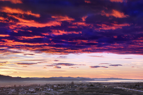
Sunset looking over Hill Air Force Base
mountain clouds island utah canyon hills greatsaltlake hdr highdynamicrange daviscounty wonderworld mikechristensen spoiler3 anteolope
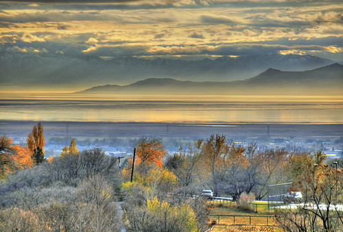
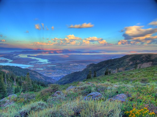
Great Salt Lake Morning View
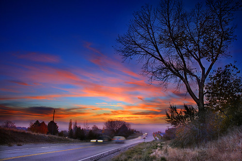
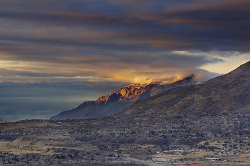
sunset submitted clouds photoshop utah getty bluehour dri hdr gettyimages daviscounty photomatix jssutt oakhillsdr jeffsuttlemyre
Valley Haze
abstract impressionist redbudtree awardtree karenandmc cherrytreemacro
Going to Sleep
sunset clouds utah wasatch hdr wasatchfront daviscounty wasatchmountains photomatix digitalblending jssutt jeffsuttlemyre
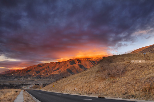
Looking North at Sunset.
geotagged geo:lat=41210316350013 geo:lon=111867768400011
20100302-231236-332.jpg
geotagged geo:lat=412102808750007 geo:lon=111867730350006
20100302-231235-330.jpg
geotagged geo:lat=412112639340924 geo:lon=111865643627279
20100302-231606-338.jpg
geotagged geo:lat=41210316350013 geo:lon=111867768400011
20100302-231236-331.jpg
birthday autumn woman silly west fall halloween girl strange beautiful field pumpkin weird utah costume model nikon funny pretty dress mask boots handmade farm heather formal tights pearls masks prom owl masquerade patch adults blackhair farmington leggings redsocks mahler packs colettes d5000 packfarms pwbeauty
Pumpkin Patch ~ My Beautiful Sister
view from the top of Dooly Knob
sunset submitted clouds utah getty benlomond dri hdr gettyimages daviscounty photomatix benlomondpeak digitalblending jssutt jeffsuttlemyre
Clouds and Sun on Ben Lomond
geotagged geo:lat=41210316350013 geo:lon=111867768400011
20100302-231236-334.jpg
geotagged geo:lat=412133131000068 geo:lon=111865466500007
20100302-210748-282.jpg
geotagged geo:lat=41210316350013 geo:lon=111867768400011
20100302-231236-333.jpg
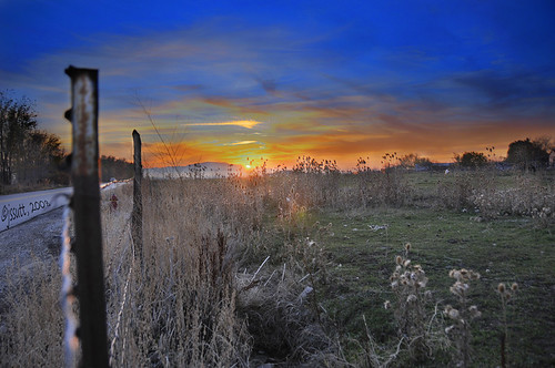
sunset photoshop utah pasture dri hdr daviscounty photomatix laytonutah jssutt jeffsuttlemyre
Horse Pasture Sunset
Ben Lomond
The Great Salt Lake Shorelands Preserve, UT
South Ogden, UT
Utah's Sunset
nature waterfalls
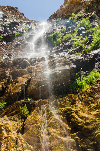
Ogden Falls, UT
Layton, UT
abstract blur utah greatsaltlake impression icm intentionalcameramovement karenandmc antelopeimpression
Antelope Impression
Layton,UT
utah hike impressionist icm oaktrees abstact oakgrove intentionalcameramovement karenandmc
Oak Grove
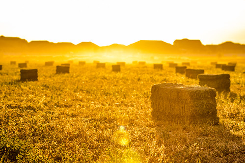
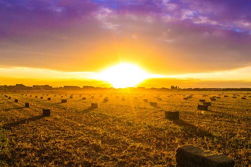
Hay !
sunset shells abstract butterfly utah multipleimages theawardtree karenandmc shotwithcolors blendenimages
Shot with Colors
square lofi squareformat iphoneography instagramapp uploaded:by=instagram foursquare:venue=4c5bfb612815c928f1afb067
I want to take pictures like @skookumtim
square squareformat iphoneography instagramapp uploaded:by=instagram foursquare:venue=4de69a5cd22d73244b8b1245
The morning breaks. #ogdenonly #outsideinogden #reflection #nature #instautah #utahgram
david
IMG_8086.DNG
IMG_8062.DNG
light nature creek woods curtain running multipleimages intentionalcameramovement horsetailreeds karenandmc movementintentioncameramovement
Running into a Light Curtain
Sunset at the Red Barn
square squareformat iphoneography instagramapp uploaded:by=instagram
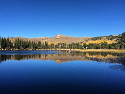
Silver Lake