Elevation of Layton, UT, USA
Location: United States > Utah > Davis County > Layton >
Longitude: -111.89263
Latitude: 41.0899369
Elevation: 1822m / 5978feet
Barometric Pressure: 81KPa
Elevation Map:
Satellite Map:
Related Photos:

Pumpkin Patch ~ My Beautiful Sister

Sunset HDR

Union Pacific 844

Traffic on Highway 89

Perry'sEgyptian

Valley Haze

Great Salt Lake Morning View

Flew over this amazing view of the Rocky Mountains

church-cross.jpg

view from the top of Dooly Knob

Coal Country -- DSC02010--HIGHWAY-6-UT

IMG_6661 North Fork Kays Creek

Formation #3

Clouds and Sun on Ben Lomond

Horse Pasture Sunset

Sunset looking over Hill Air Force Base

The Bonneville Shoreline

F-4E Phantom + Thunderbirds

The View of the Valley

The View Up Canyon

our view

Layton, UT

Antelope Impression

Layton,UT

A little piece of Utah paradise

Peaceful Pastures

Layton, UT
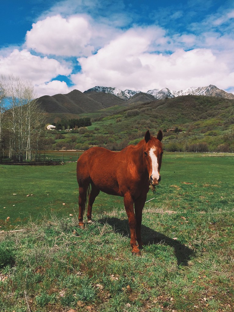
A Happy Horse.

Change Is In The Air

Ben Lomond

The Great Salt Lake Shorelands Preserve, UT

Oak Grove

Hay !

The Great Salt Lake Shorelands Preserve, UT

Winter Aspens

Wetlands Preserve

20130428 Adams Canyon 019.jpg

SLC - AMS

Reflections of clouds . .

River Rock

Beaver Ponds on the back side of Francis peak HDR

South Ogden, UT
Topographic Map of Layton, UT, USA
Find elevation by address:

Places near Layton, UT, USA:
1804 N 3300 E
N, Layton, UT, USA
2533 E 1980 N
2497 E 1980 N
2520 Joni Dr
733 Woodridge Dr
East Layton
2803 E 3700 N
N E, Layton, UT, USA
N E, Layton, UT, USA
S E, South Weber, UT, USA
Mountain View Elementary School
89 S 2625 E
View Dr, South Weber, UT, USA
2731 N 1650 E
1594 E Thorley Dr
North Bedford Drive
East Bedford Drive
Oakmont Lane
1059 N Kingswood Rd
Recent Searches:
- Elevation of Corso Fratelli Cairoli, 35, Macerata MC, Italy
- Elevation of Tallevast Rd, Sarasota, FL, USA
- Elevation of 4th St E, Sonoma, CA, USA
- Elevation of Black Hollow Rd, Pennsdale, PA, USA
- Elevation of Oakland Ave, Williamsport, PA, USA
- Elevation of Pedrógão Grande, Portugal
- Elevation of Klee Dr, Martinsburg, WV, USA
- Elevation of Via Roma, Pieranica CR, Italy
- Elevation of Tavkvetili Mountain, Georgia
- Elevation of Hartfords Bluff Cir, Mt Pleasant, SC, USA