Elevation of N E, Layton, UT, USA
Location: United States > Utah > Davis County > Layton >
Longitude: -111.90422
Latitude: 41.086206
Elevation: 1526m / 5007feet
Barometric Pressure: 84KPa
Elevation Map:
Satellite Map:
Related Photos:
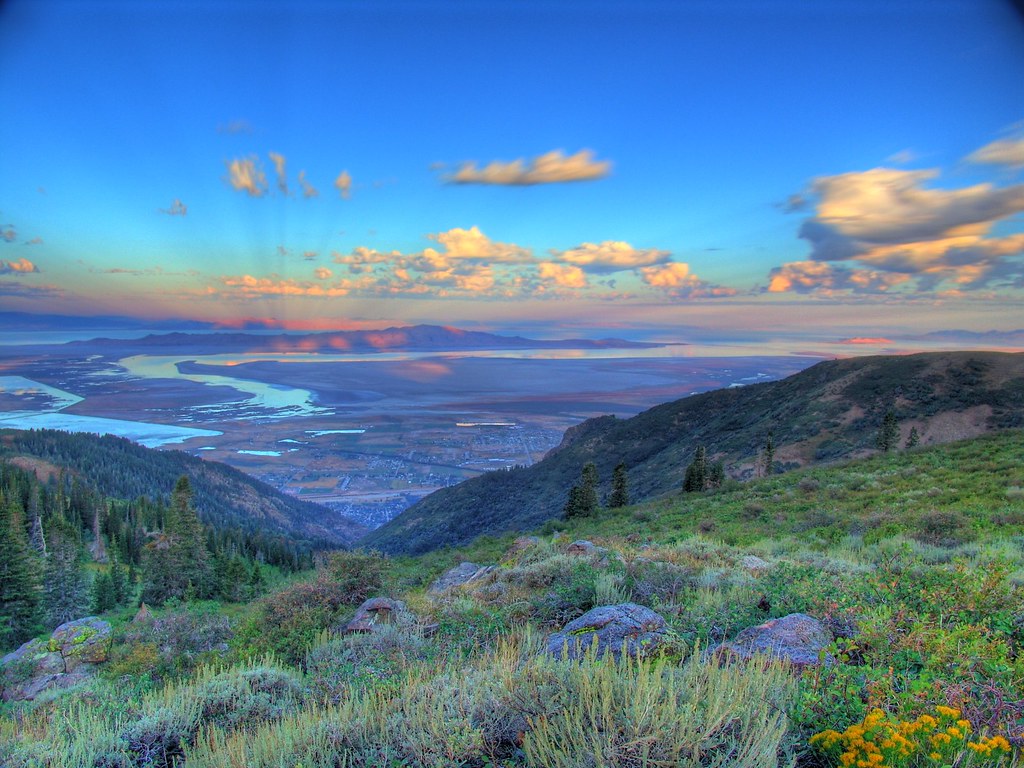
Great Salt Lake Morning View
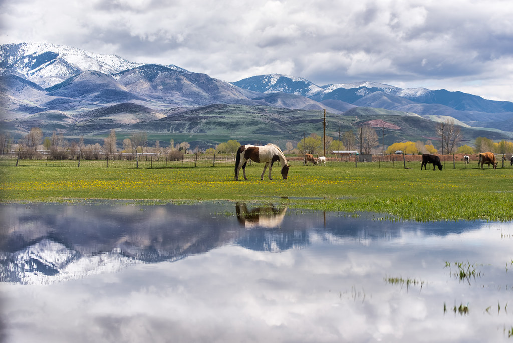
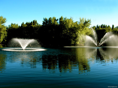
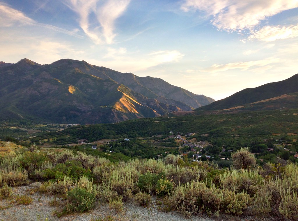
A little piece of Utah paradise

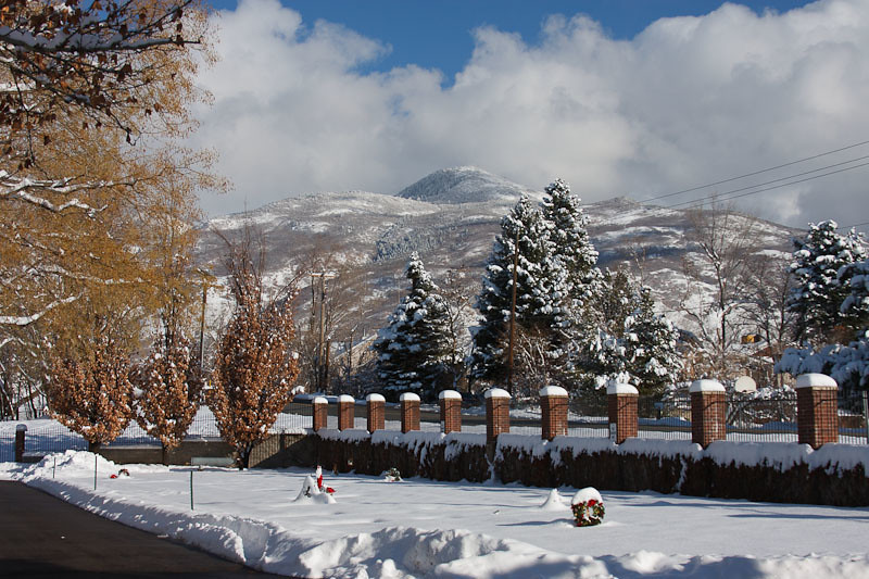
church-cross.jpg
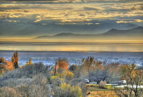
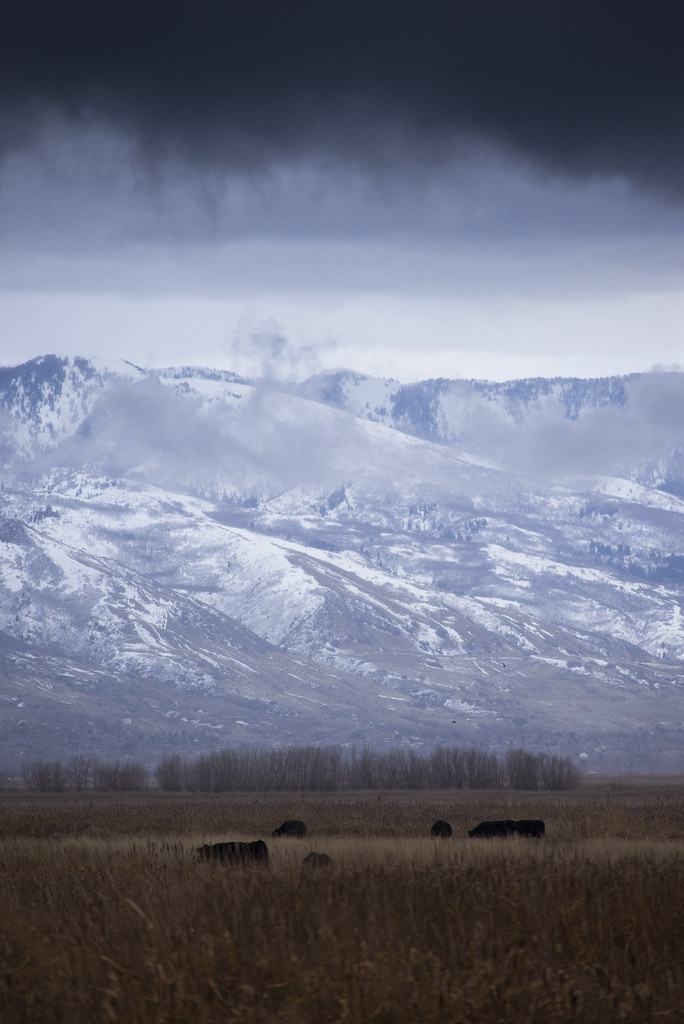
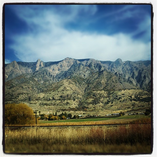
View of the Wasatch Mountains December 2016. The clouds are actually smog caused by the winter inversion. Credit to my daughter for taking this one.
Sunshine and Show
Lagoon Cesspool

Going to Sleep
South end of Antelope Island

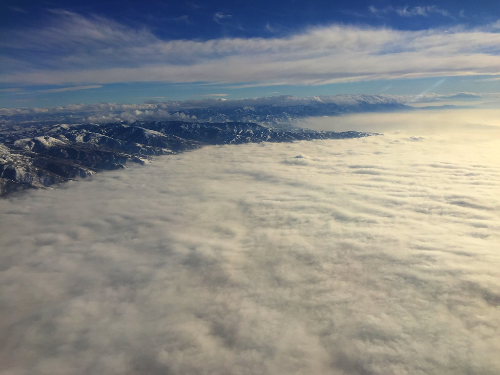
Flew over this amazing view of the Rocky Mountains
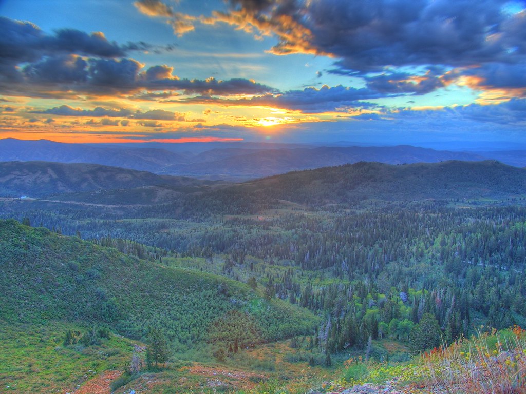
Sunset HDR
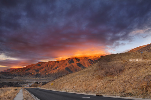
Looking North at Sunset.
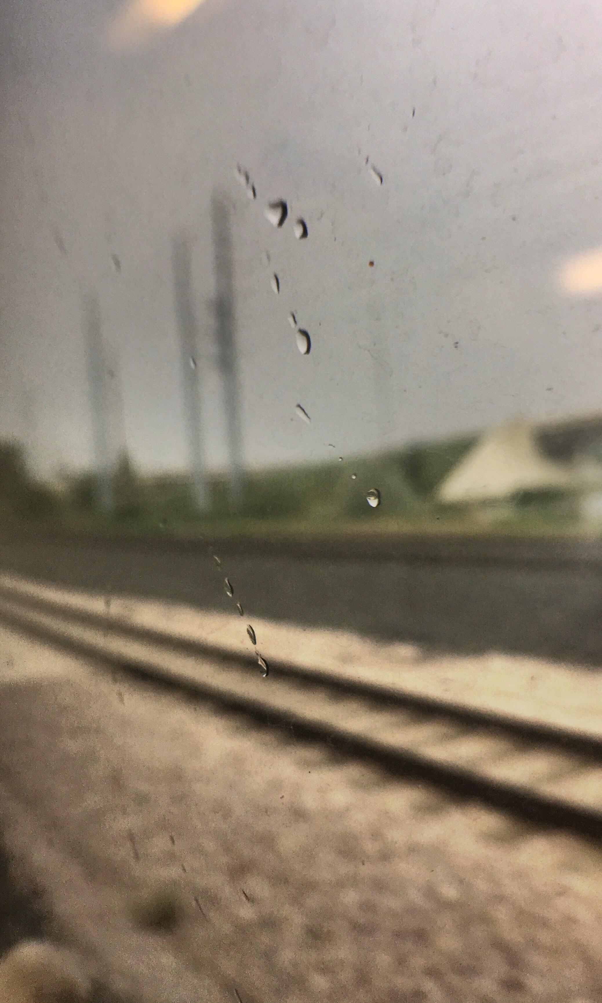
Crying Sky
Morning View

Union Pacific 844

Coal Country -- DSC02010--HIGHWAY-6-UT
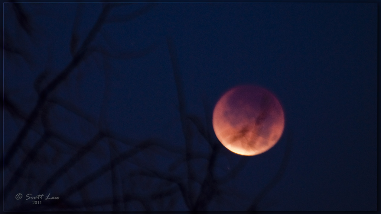
Lunar Eclipse Dec. 10, 2011
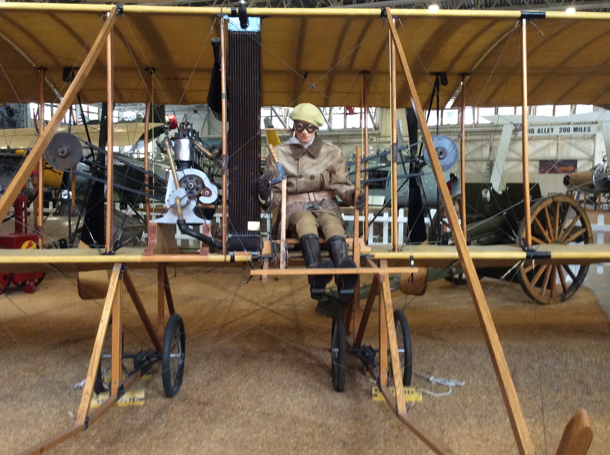
The Beginnings...a closer view

Contrails and Clouds
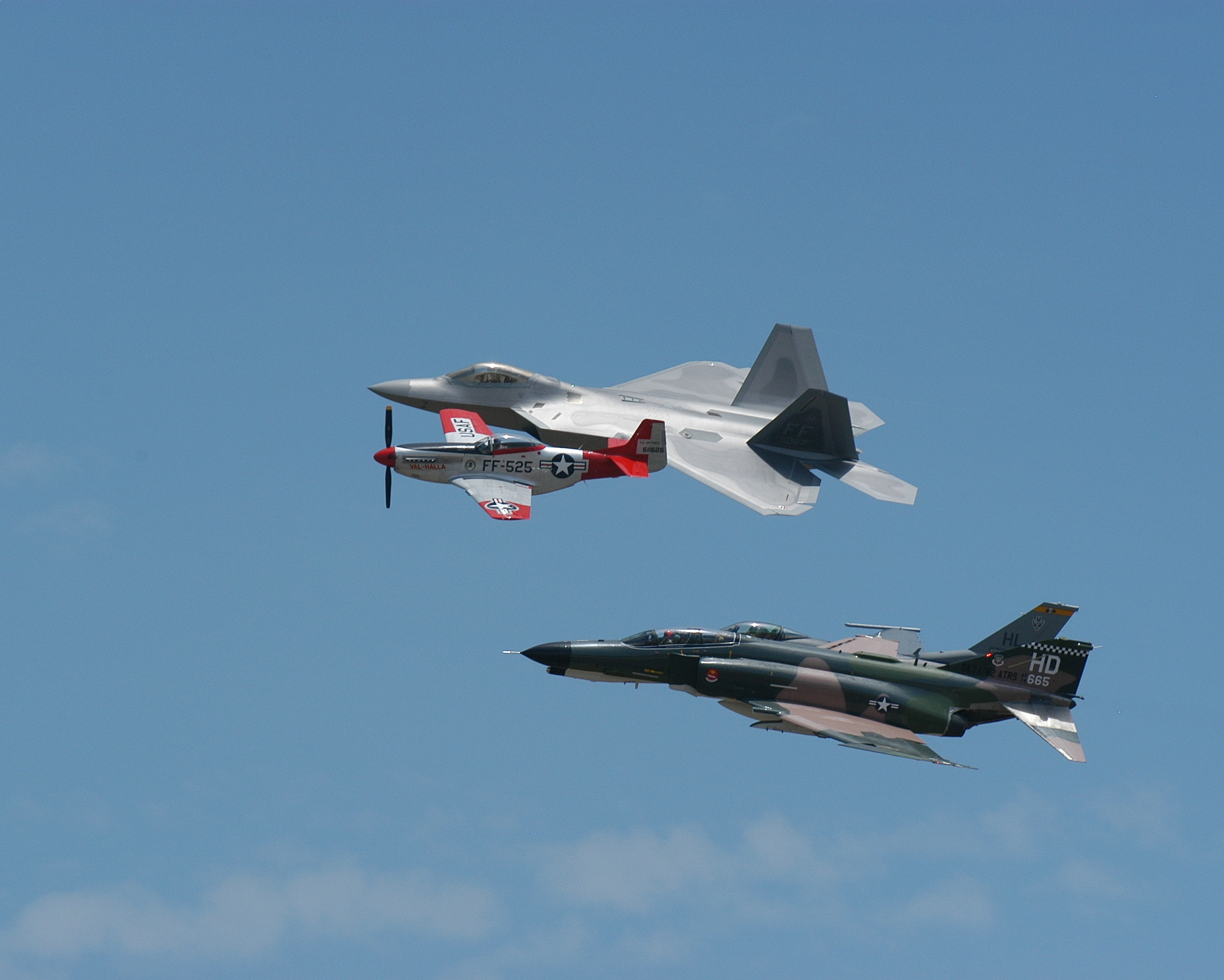
Formation #3
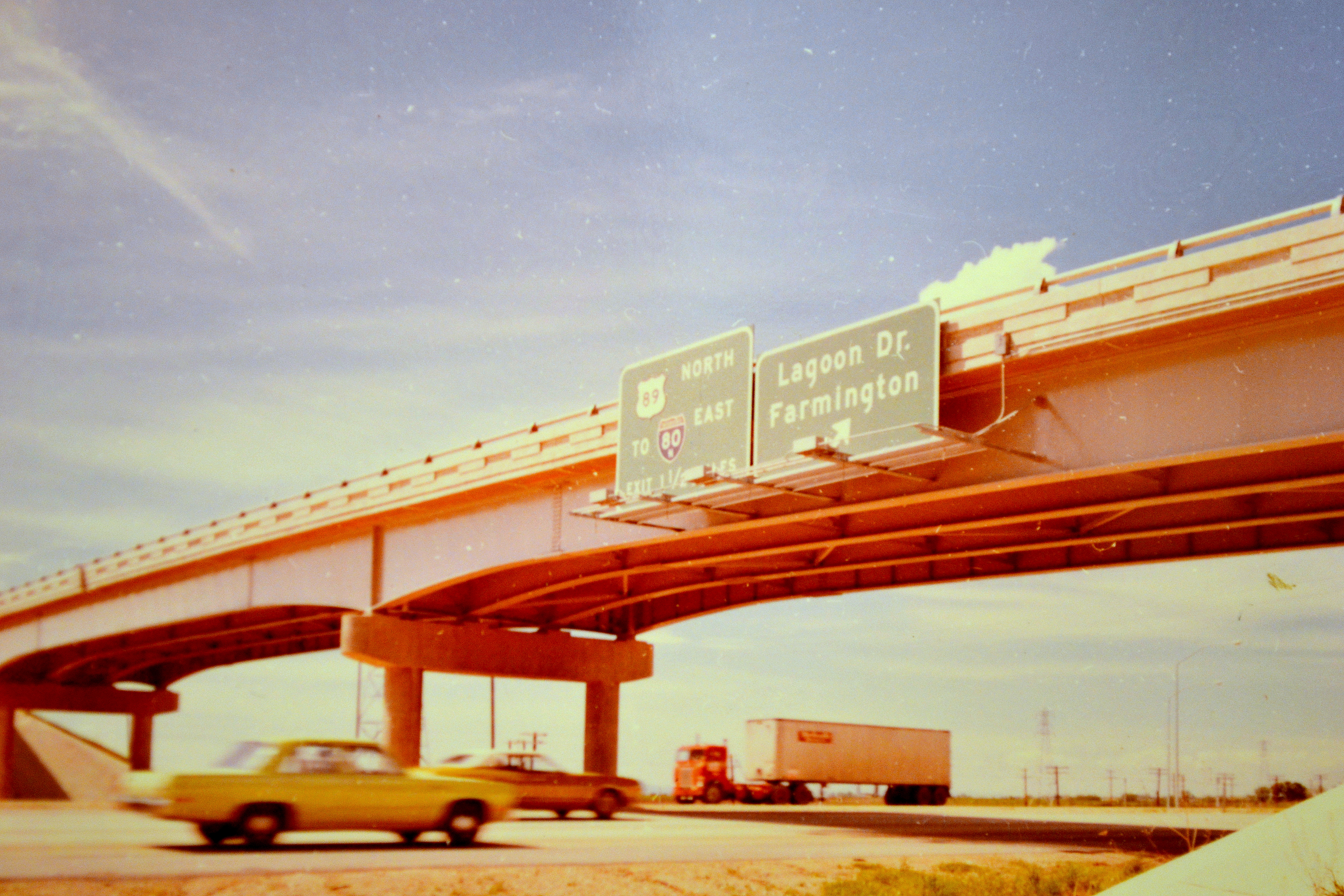
northbound I-15 at 200 West, 1972

Eating the Sun

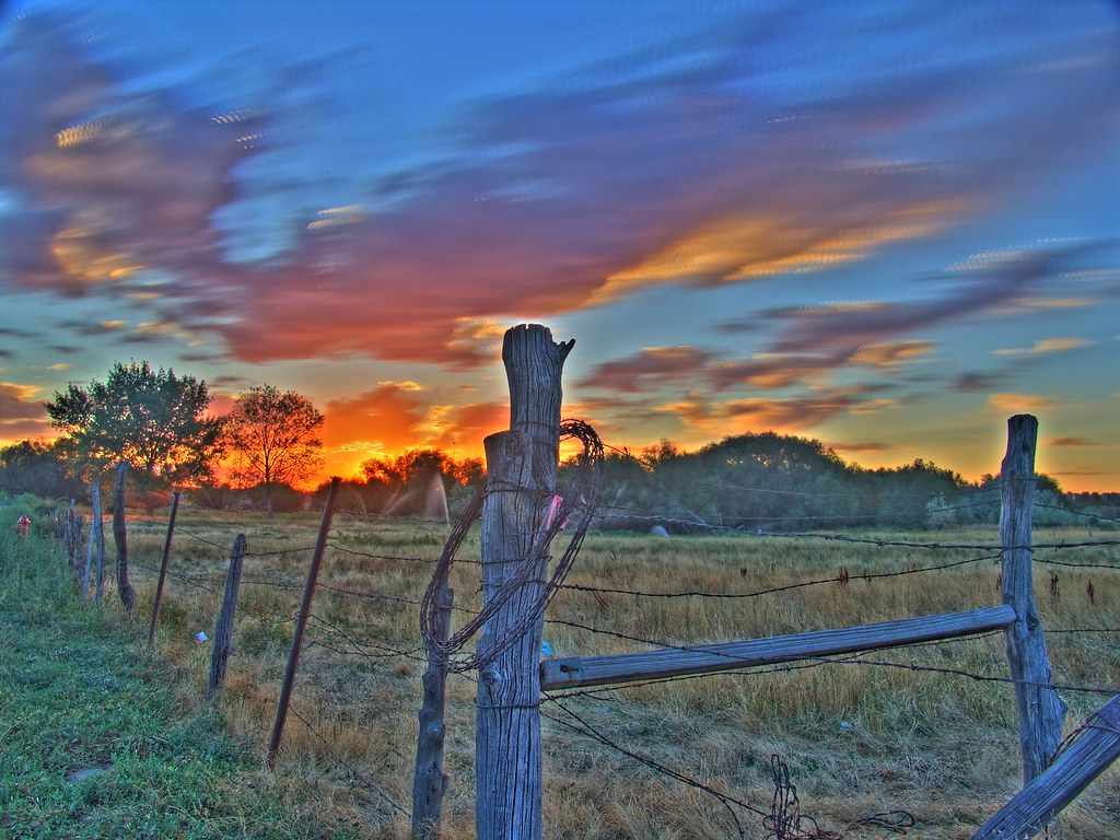
Hay !

Winter Aspens

Fire and Ice

Pumpkin Patch ~ My Beautiful Sister
Change Is In The Air

A Happy Horse.
Sunset over the Mountains
Ben Lomond

The Great Salt Lake Shorelands Preserve, UT

Layton,UT

Oak Grove

The Great Salt Lake Shorelands Preserve, UT
Wetlands Preserve

Layton, UT

Reflections of clouds . .
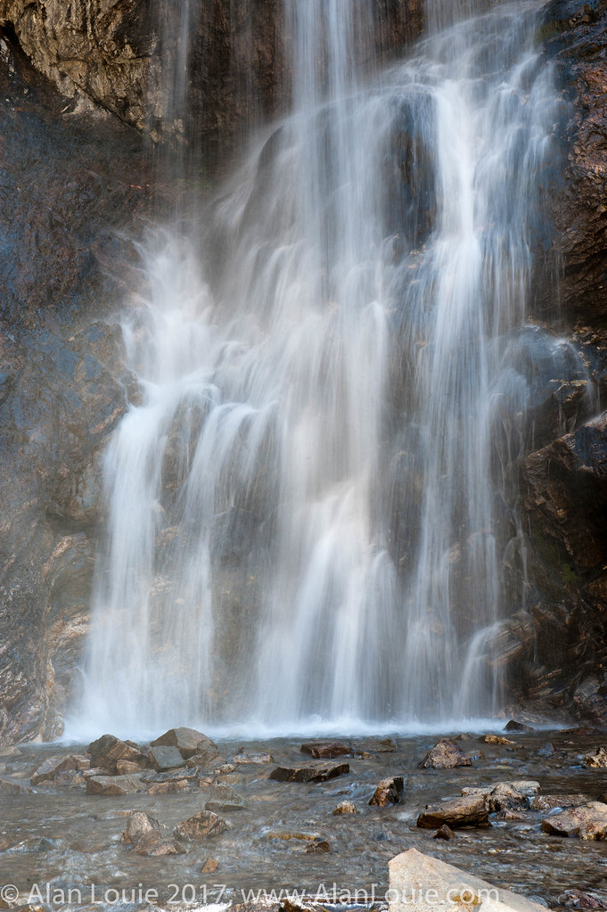
River Rock
Beaver Ponds on the back side of Francis peak HDR
South Ogden, UT
"On a highway in the in the beehive state..." #Limbeck
20130428 Adams Canyon 017.jpg
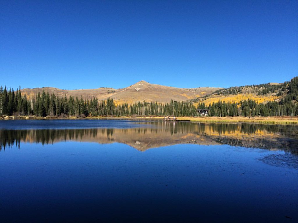
Silver Lake
Topographic Map of N E, Layton, UT, USA
Find elevation by address:

Places near N E, Layton, UT, USA:
N, Layton, UT, USA
Layton, UT, USA
2533 E 1980 N
2497 E 1980 N
2520 Joni Dr
East Layton
733 Woodridge Dr
N E, Layton, UT, USA
2803 E 3700 N
N E, Layton, UT, USA
89 S 2625 E
Mountain View Elementary School
1594 E Thorley Dr
2731 N 1650 E
S E, South Weber, UT, USA
1420 E 2250 N
North Bedford Drive
East Bedford Drive
1059 N Kingswood Rd
Roger Circle
Recent Searches:
- Elevation of Corso Fratelli Cairoli, 35, Macerata MC, Italy
- Elevation of Tallevast Rd, Sarasota, FL, USA
- Elevation of 4th St E, Sonoma, CA, USA
- Elevation of Black Hollow Rd, Pennsdale, PA, USA
- Elevation of Oakland Ave, Williamsport, PA, USA
- Elevation of Pedrógão Grande, Portugal
- Elevation of Klee Dr, Martinsburg, WV, USA
- Elevation of Via Roma, Pieranica CR, Italy
- Elevation of Tavkvetili Mountain, Georgia
- Elevation of Hartfords Bluff Cir, Mt Pleasant, SC, USA