Elevation of E N, Kaysville, UT, USA

Location: United States > Utah > Davis County > Kaysville >

Longitude: -111.92507

Latitude: 41.0471557

Elevation: 1386m / 4547feet

Barometric Pressure: 86KPa

Elevation Map:

elevation map of E N, Kaysville, UT, USA

Satellite Map:

Satellite map of E N, Kaysville, UT, USA
Related Photos:

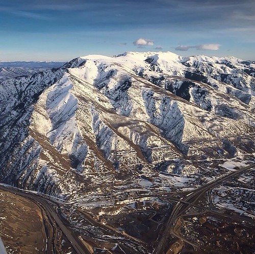
airplanewindow airplanewindowview azimuth160 coloradogreatsanddunesblackcanyonofthegunnison day6 deltaairlines dxophotolab4edited flightslctoaus flyingoverutah landscape landscapescenery lookingoutsideplanewindow lookingse lookingoutairplanewindow lookingouttheairplanewindow mountainpeak mountains mountainsindistance mountainsoffindistance nature nikond850 nopeople outside planewindow project365 ridge ridgeline ridges rockymountains scenicsnature snapbridge travel saltlakecity utah unitedstates
Mountains Over Utah on a Flight out of SLC
wasatchmountains i84 trappersloop wasatchrange morganvalley morgancounty horses cows westtoeastcoastroadtrip utah mountaingreen pixelmama explore
A little piece of Utah paradise
844steamtrain up union pacific big boy 4014 steam locomotive engine train trains railroad railway 844 3985 sp 4449 prr 5550 t1 trust travel tourism adventure events science technology history metal machine most popular video videos top viewed views trending relevant recommended viral galore culture america usa google youtube facebook shared wasatch sherman hill flying scotsman lner mallard photography photo digital flickr
UP Big Boy #4014 and UP #844 Doubleheader Over Wasatch Grade!
sunset clouds utah wasatch hdr wasatchfront daviscounty wasatchmountains photomatix digitalblending jssutt jeffsuttlemyre
Looking North at Sunset.
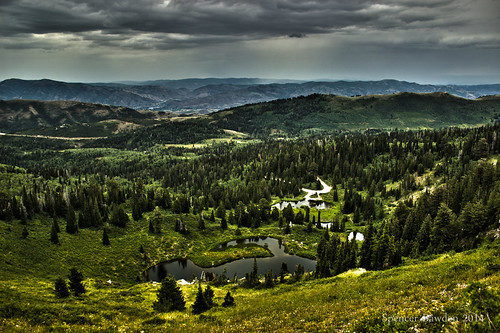
county mountains beautiful skyline america forest canon eos rebel drive utah wasatch hiking trails rocky national spencer davis hdr farmington t3i bawden bountiful spazoto
Skyline Vista
birthday autumn woman silly west fall halloween girl strange beautiful field pumpkin weird utah costume model nikon funny pretty dress mask boots handmade farm heather formal tights pearls masks prom owl masquerade patch adults blackhair farmington leggings redsocks mahler packs colettes d5000 packfarms pwbeauty
Pumpkin Patch ~ My Beautiful Sister
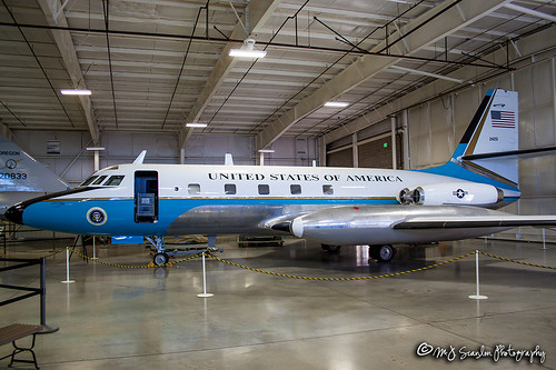
624201 air airforce aircraft aircraftspotter aircraftspotting airplane airport aviation c140b camera canon capture digital flight fly flying hillafb hillaerospacemuseum image jetstar lockheed mojo museum ogden photo photog photograph photographer photography picture plane planespotter planespotting scanlon spotter spotting usairforce usaf utah wow ©mjscanlon ©mjscanlonphotography
62-4201 USAF | Lockheed C-140B JetStar | Hill Aerospace Museum
sunset clouds utah contrail greatsaltlake contrails dri hdr daviscounty jssutt jeffsuttlemyre
Contrails and Clouds
sunset photoshop utah pasture dri hdr daviscounty photomatix laytonutah jssutt jeffsuttlemyre
Horse Pasture Sunset
sunset submitted clouds utah getty benlomond dri hdr gettyimages daviscounty photomatix benlomondpeak digitalblending jssutt jeffsuttlemyre
Clouds and Sun on Ben Lomond
rnoden
Wasatch Range, Northern Utah
rnoden
Wasatch Range, Northern Utah
ogden mckaydeehospital intermountainhospitals flag drone aerialview
McKay-Dee Hospital Flag
syracuse utah unitedstates usa zeesstof aerial saltlakecityuttohoustontx aerialview aerialimage windowseat windowview flight commercialflight
Bountiful, Grandview Peak & the Wasatch Range
sunset utah layton digitalblending hillairforcebase jssutt
Sunset looking over Hill Air Force Base
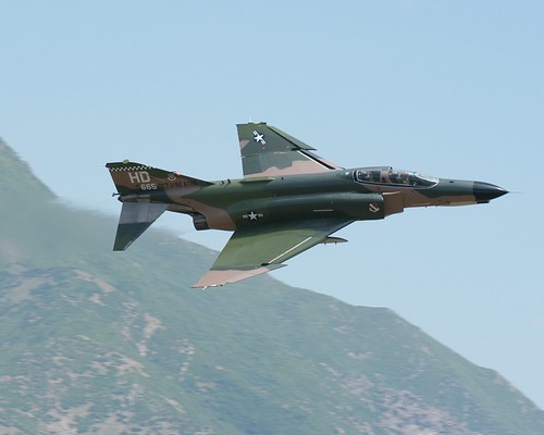
nikon force air hill airshow d100 base 70200mmf28gvr f4ephantom hafb hillairforcebaseairshowjune10112006
F-4E Phantom
snow mountains clouds photoshop utah dri hdr wasatchfront fruittrees daviscounty wasatchmountains digitalblending photomaitx jssutt jeffsuttlemyre
Autumn Snow on Wasatch Front
airplane nikon force air hill airshow d100 base 70200mmf28gvr hafb hillairforcebaseairshowjune10112006
Formation #3
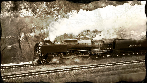
railroad train utah antique tracks engine steam unionpacific steamengine weber 844 webercanyon
Union Pacific 844
sunset clouds photoshop fun utah antelopeisland greatsaltlake dri hdr highway89 daviscounty route89 photomatix digitalblending jssutt jeffsuttlemyre
Traffic on Highway 89
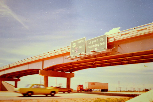
sign utah lagoon saltlakecity freeway 1970s 1972 farmington i15 interstate15 us89 buttoncopy biggreensign gloverlane lagoonexit
northbound I-15 at 200 West, 1972
South Ogden, UT
Layton, UT
winter sunset sky lake ice nature fire bay utah rainbow great salt center spencer farmington bawden spazoto
Fire and Ice
The Great Salt Lake Shorelands Preserve, UT
Layton,UT
Farmington Bay
nature 2014 bountiful
Bountiful Lake
woodscross utah unitedstates us
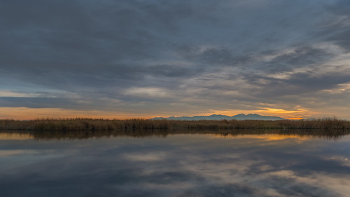
Wetlands Sunset
woodscross utah unitedstates us
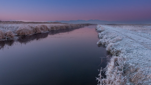
Frosty Morning
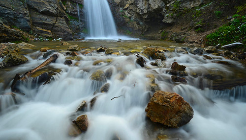
waterfalls waterflow watermotion waterpools utah nature landscape longexposure rocks rock rockformation springtime runoff
Great Spring Runoff
woodscross utah unitedstates us
Dike View
Hay !
East Pond
takenfromabove weeklythemechallenge utah mountains pine trees cachenationalforest outside outdoor landscape snow evergreen francispeak carsr radar defense
Beautiful Mountains and More (check out the description)
photography utah photo photographer photos ogdenut beuscanyon minoltamd50mmf35macro rickbolin bonevilleshorelinetrail
Zig Zag
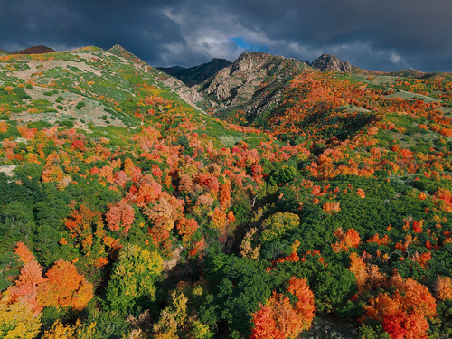
outdoors utahoutdoors mountains landscapephotography landscape hiking hikeutah fallcolors utah
Fall colors
Layton, UT
square squareformat iphoneography instagramapp uploaded:by=instagram
The mouth of Weber Canyon from 9000' on a CAVU day! #n3588m #piperturboarrow #bluesky #cavu #piper #whyifly #pictureline #picturelinepicoftheday #ksl #aviationlovers #utahoutdoors #wasatchfront