Elevation of N21, Templeglentan East, Co. Limerick, Ireland
Location: Ireland > Limerick >
Longitude: -9.1883159
Latitude: 52.3914618
Elevation: 109m / 358feet
Barometric Pressure: 100KPa
Elevation Map:
Satellite Map:
Related Photos:

Abstract landscape.

Watery grave, Newcastle West, Limerick

Square, Newcastle West, Co. Limerick

Cahermoyle House, Ardagh, Co. Limerick

North Quay, Newcastle West, Limerick

Mr Blue Sky

A welcome bench

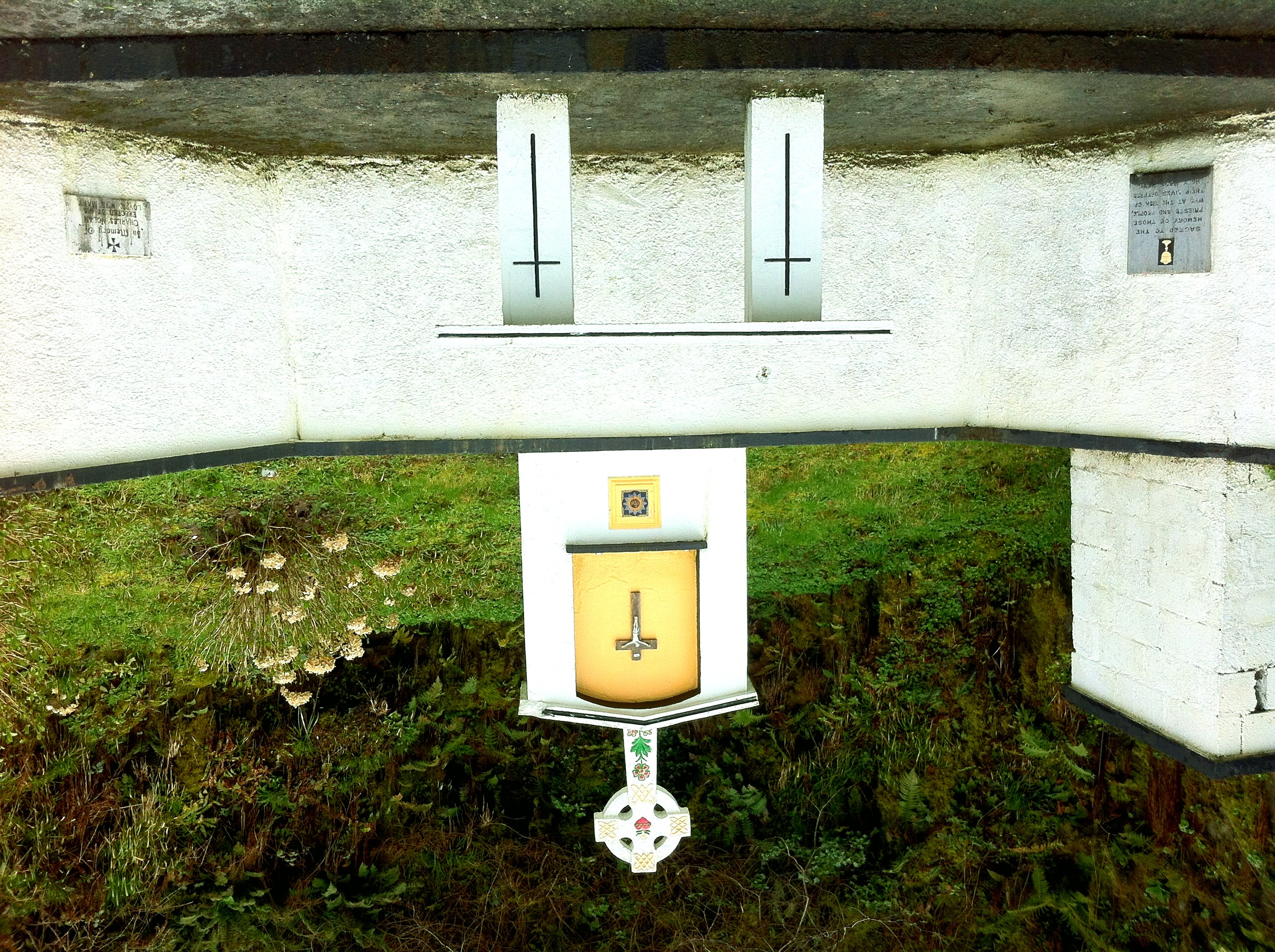
Rural churchyard

What a load of rubbish

Abandoned Station, Barnagh, Co Limerick, Ireland.

Stairway to ......
Mass Rock, Ashford, Co Limerick
view along Allaghaun from Great Southern Trail, Abbeyfeale

View over Allaghaun valley from GST

view from Allaghaun bridge

My cousin Kitty Barrett's rescued donkeys at Valley View Heights in Knocknagorna, County Limerick #ireland #tbex

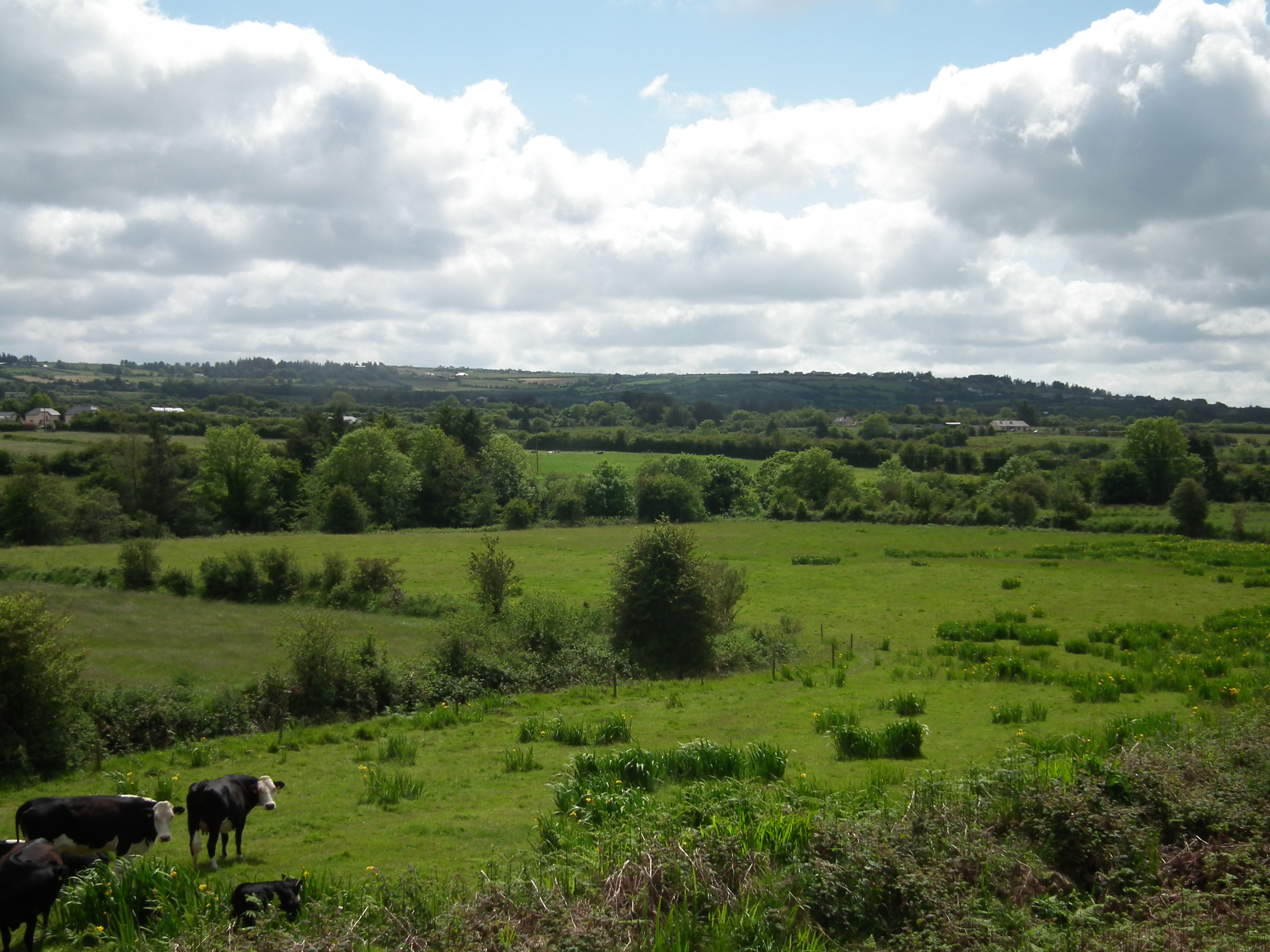
Fields, Newcastle West, Limerick

Water tower, Newcastle West Limerick. (IR)

Linear.

Signs of the times (Explored)

Lough Gay (Explored)

june 2012

FISDU April 2018
FISDU April 2018
FISDU April 2018
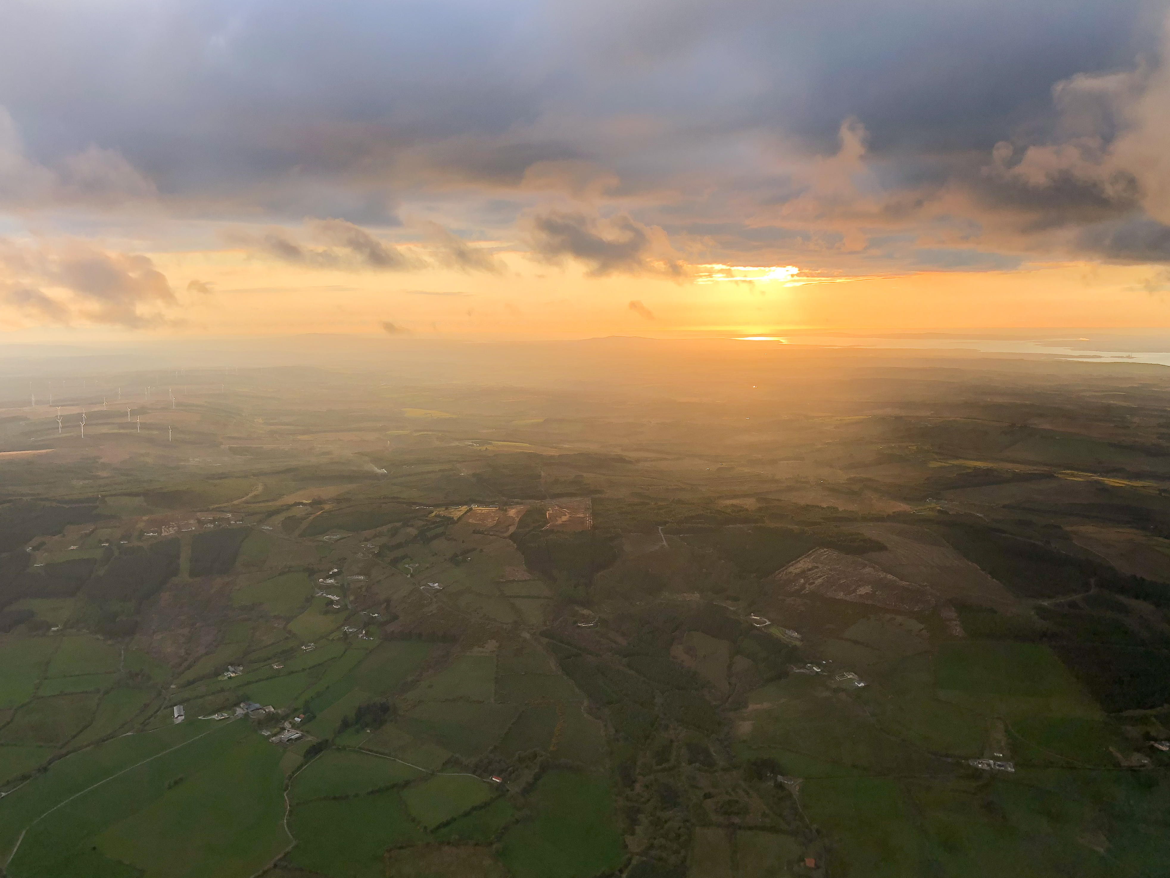
Facing into the wind

Glenquin Castle, Co Limerick

Lough Gay, Co. Limerick, Ireland

Irish Summer, Limerick, Ireland

River Arra Flows Through Newcastlewest

River Arra Flows Through Newcastlewest 3

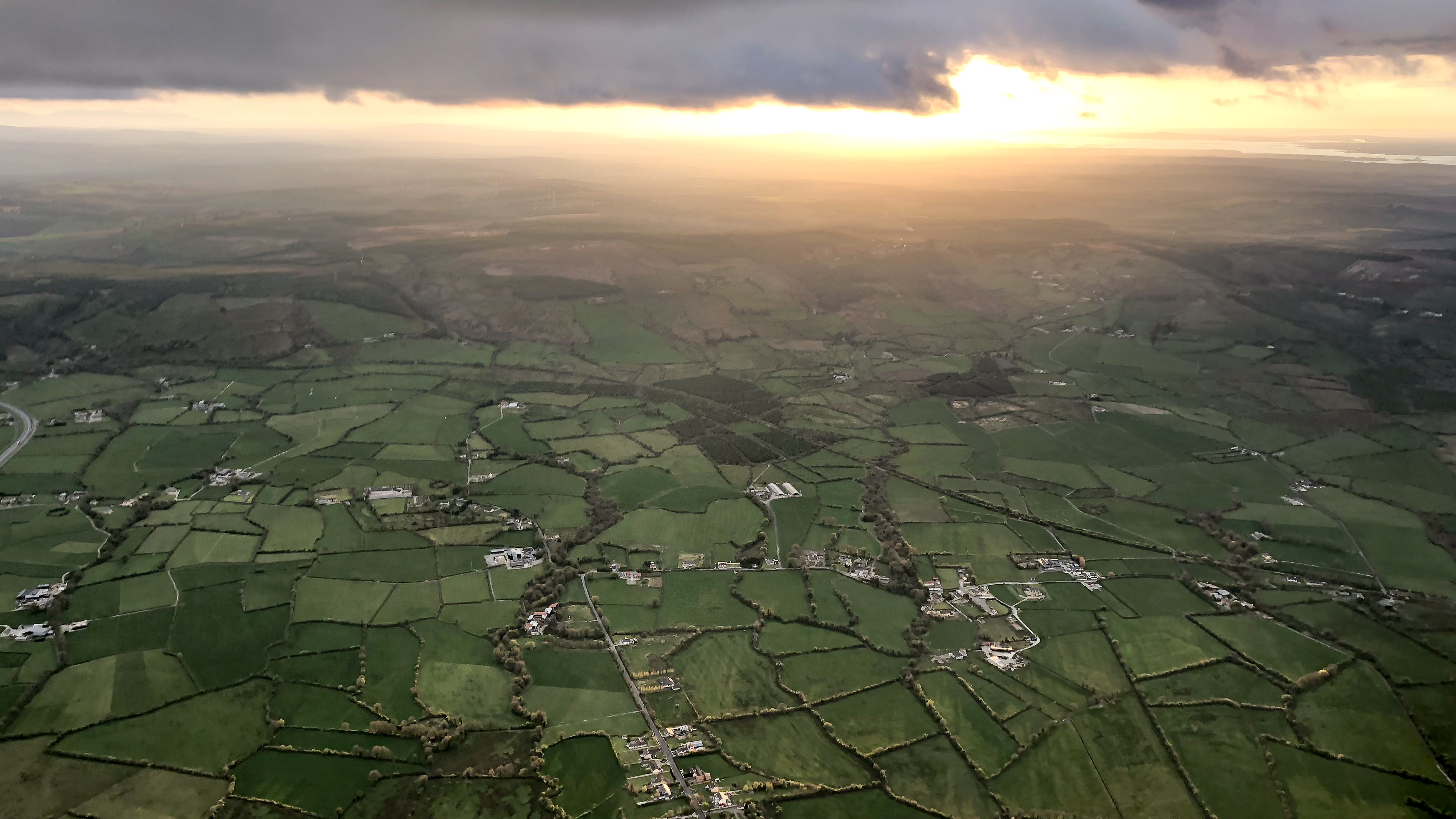
Rainy Day in County Limerick
Topographic Map of N21, Templeglentan East, Co. Limerick, Ireland
Find elevation by address:

Places near N21, Templeglentan East, Co. Limerick, Ireland:
Abbeyfeale
Abbeyfeale West
P51 H981
Knockaclarig
Lough Gay Bog
Glenduff
Cahercarney
Knocknagashel East
Kilfergus
V94 Xp6e
Meelin
Knocknagashel
Glin
Clashroe
Foynes
24 Dernish Ave
Durnish
Scarteen Lower
Newmarket
Newmarket
Recent Searches:
- Elevation of Corso Fratelli Cairoli, 35, Macerata MC, Italy
- Elevation of Tallevast Rd, Sarasota, FL, USA
- Elevation of 4th St E, Sonoma, CA, USA
- Elevation of Black Hollow Rd, Pennsdale, PA, USA
- Elevation of Oakland Ave, Williamsport, PA, USA
- Elevation of Pedrógão Grande, Portugal
- Elevation of Klee Dr, Martinsburg, WV, USA
- Elevation of Via Roma, Pieranica CR, Italy
- Elevation of Tavkvetili Mountain, Georgia
- Elevation of Hartfords Bluff Cir, Mt Pleasant, SC, USA