Elevation of Knocknagashel East, Knocknagashel, Co. Kerry, Ireland
Location: Ireland > Knocknagashel East >
Longitude: -9.38178
Latitude: 52.3313435
Elevation: 182m / 597feet
Barometric Pressure: 0KPa
Related Photos:
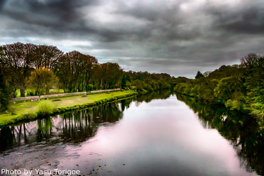
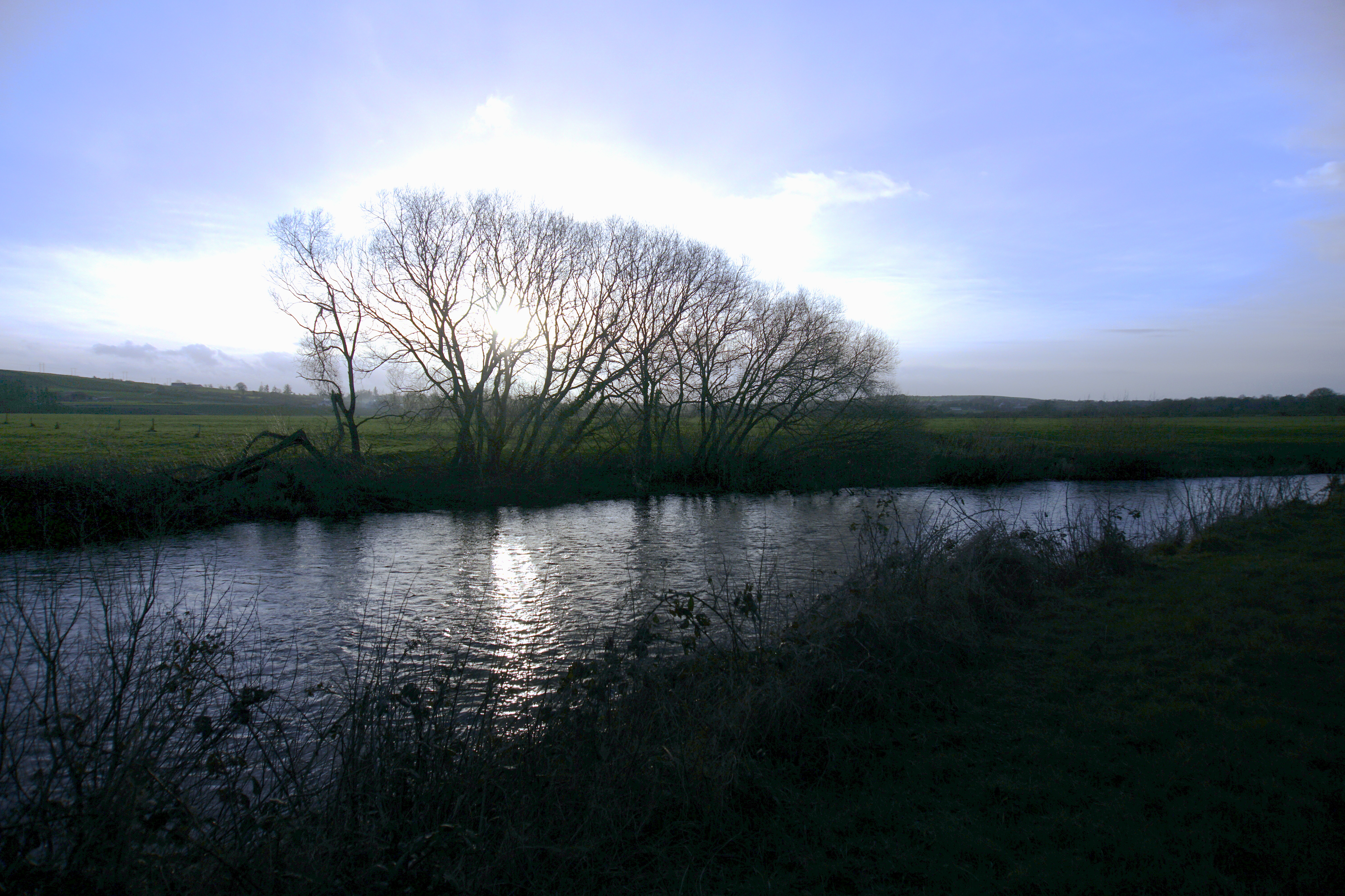
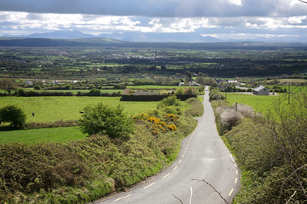
Ireland Western Countryside-8
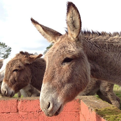
My cousin Kitty Barrett's rescued donkeys at Valley View Heights in Knocknagorna, County Limerick #ireland #tbex

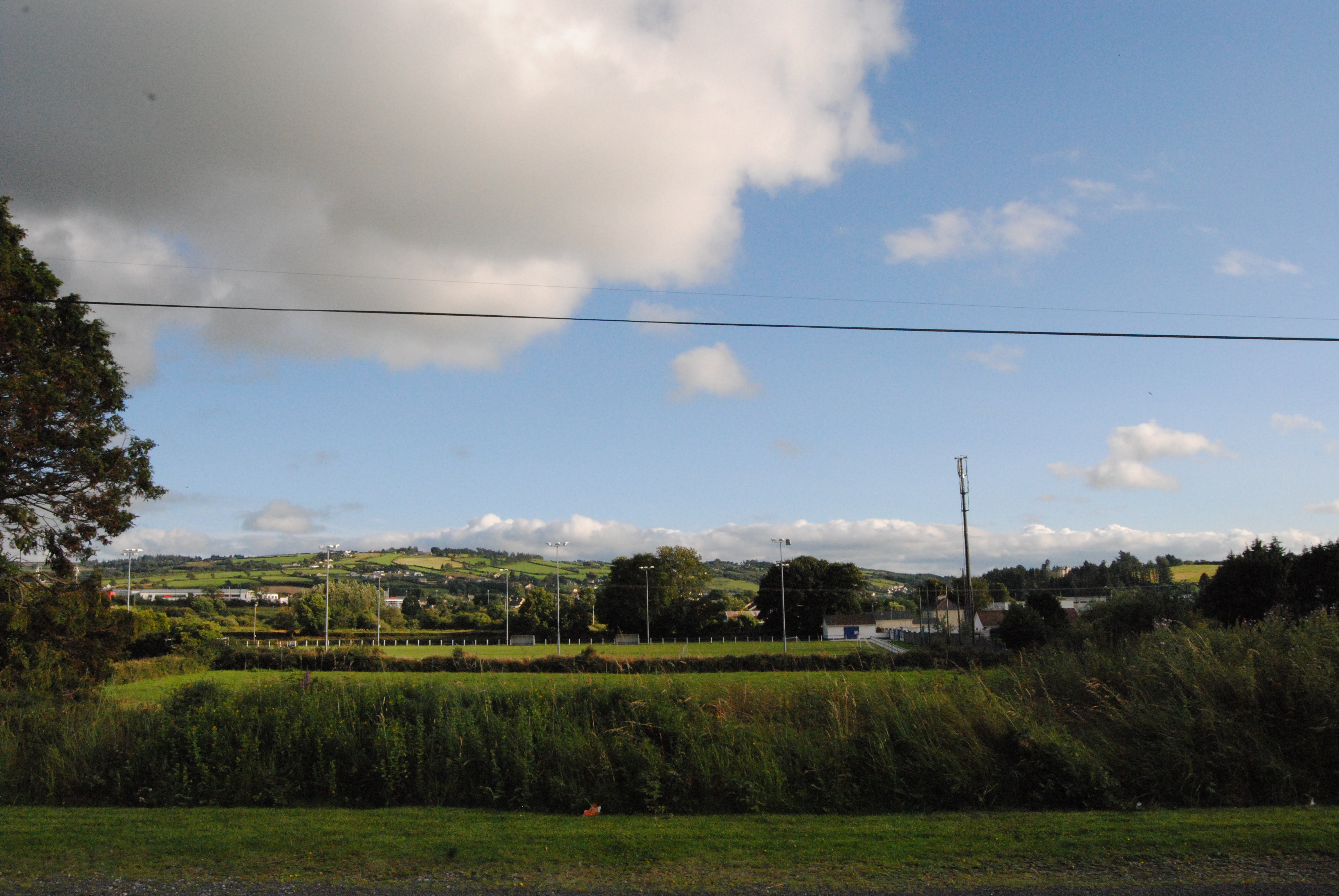
view along Allaghaun from Great Southern Trail, Abbeyfeale

view from Allaghaun bridge

View over Allaghaun valley from GST
river view
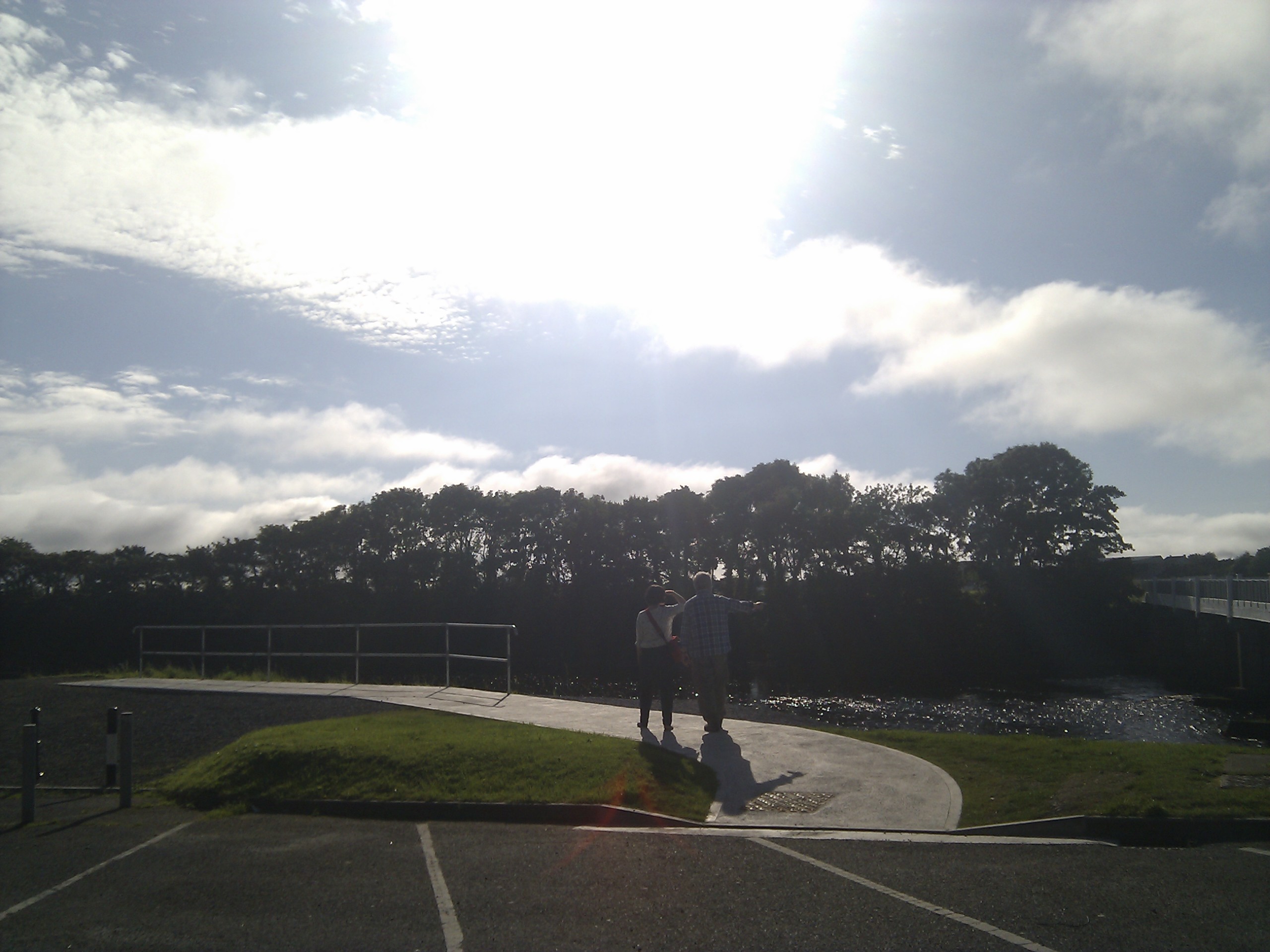
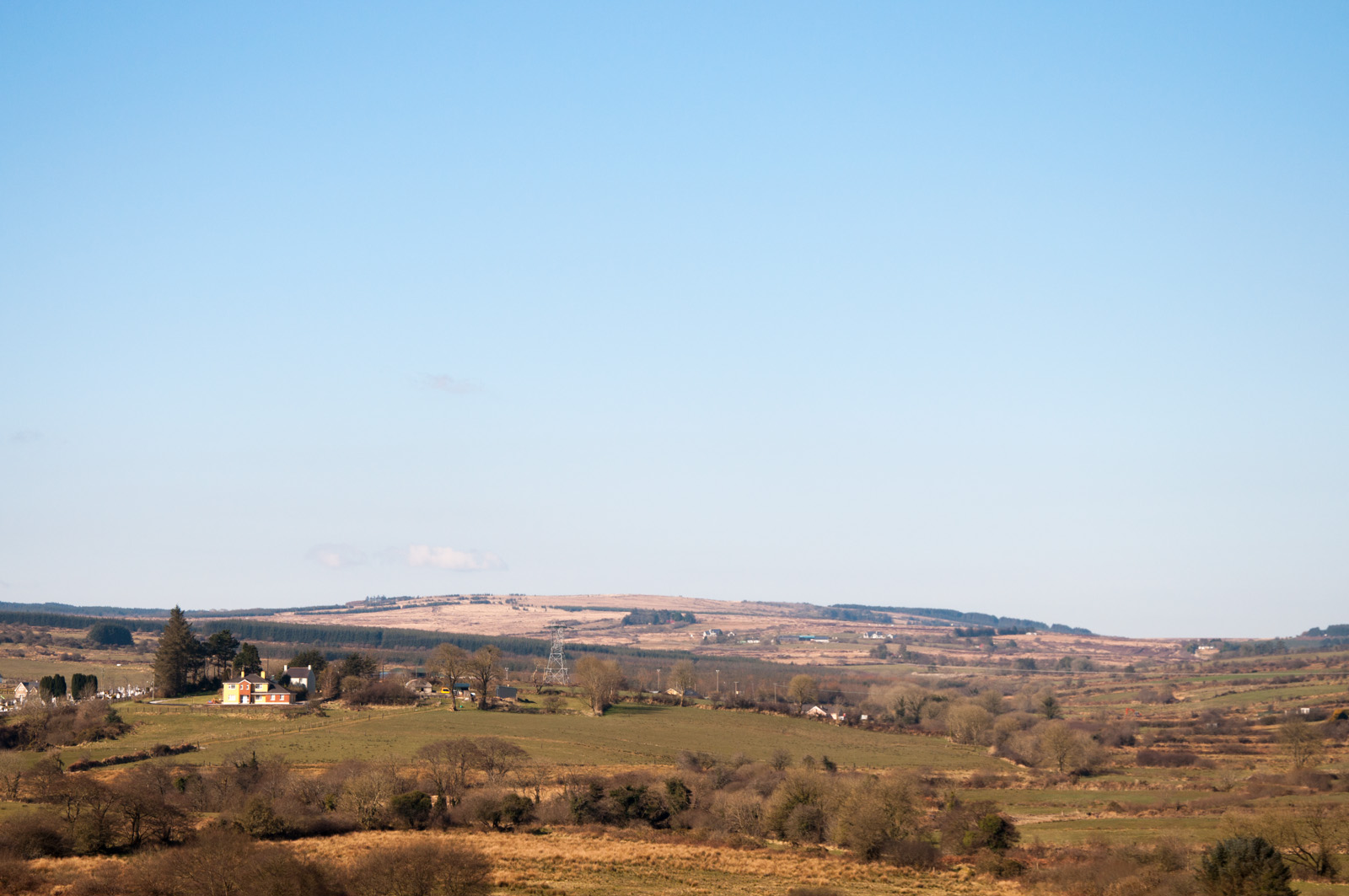
A Fine Viewpoint

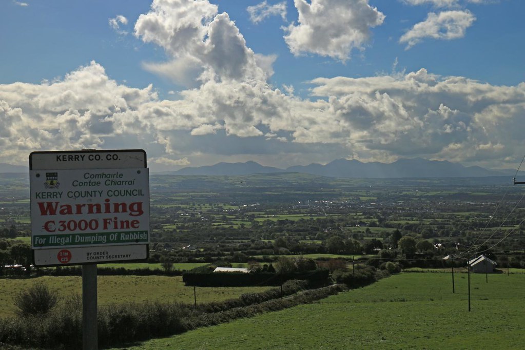
We'll Have No Signs Here

Another fine day in Glantine.
River Feale Kilmeany

Kerry rainbows
Great Southern Trail, Limerick, Ireland

Beautiful Day

Listowel, Ireland
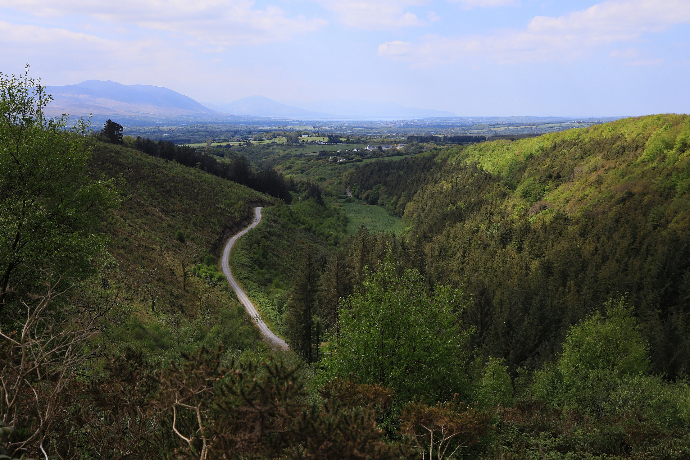
Drive By Landscape
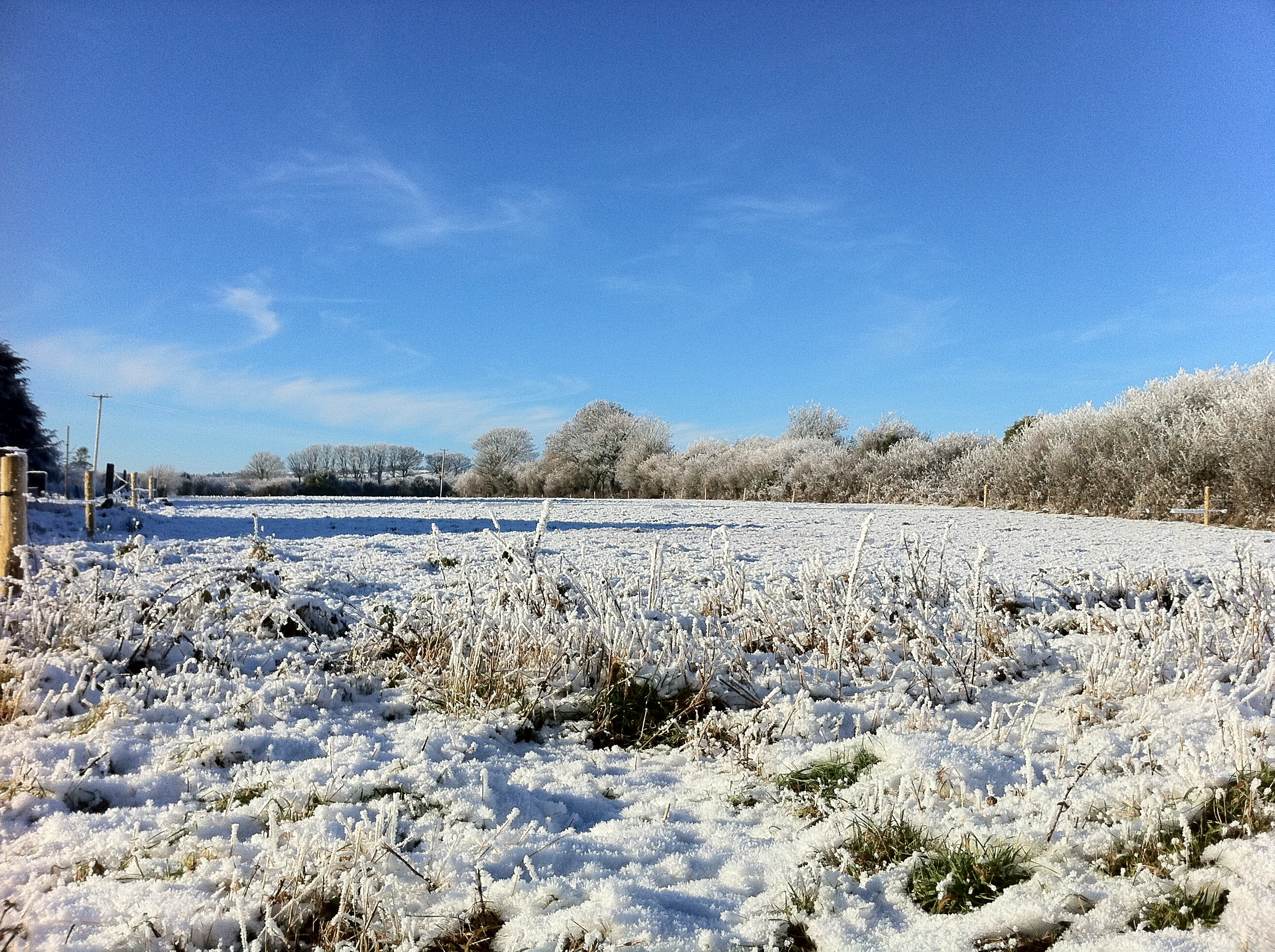
Xmas Snow 2010
Irish Road

Listowel Cul Camp 6
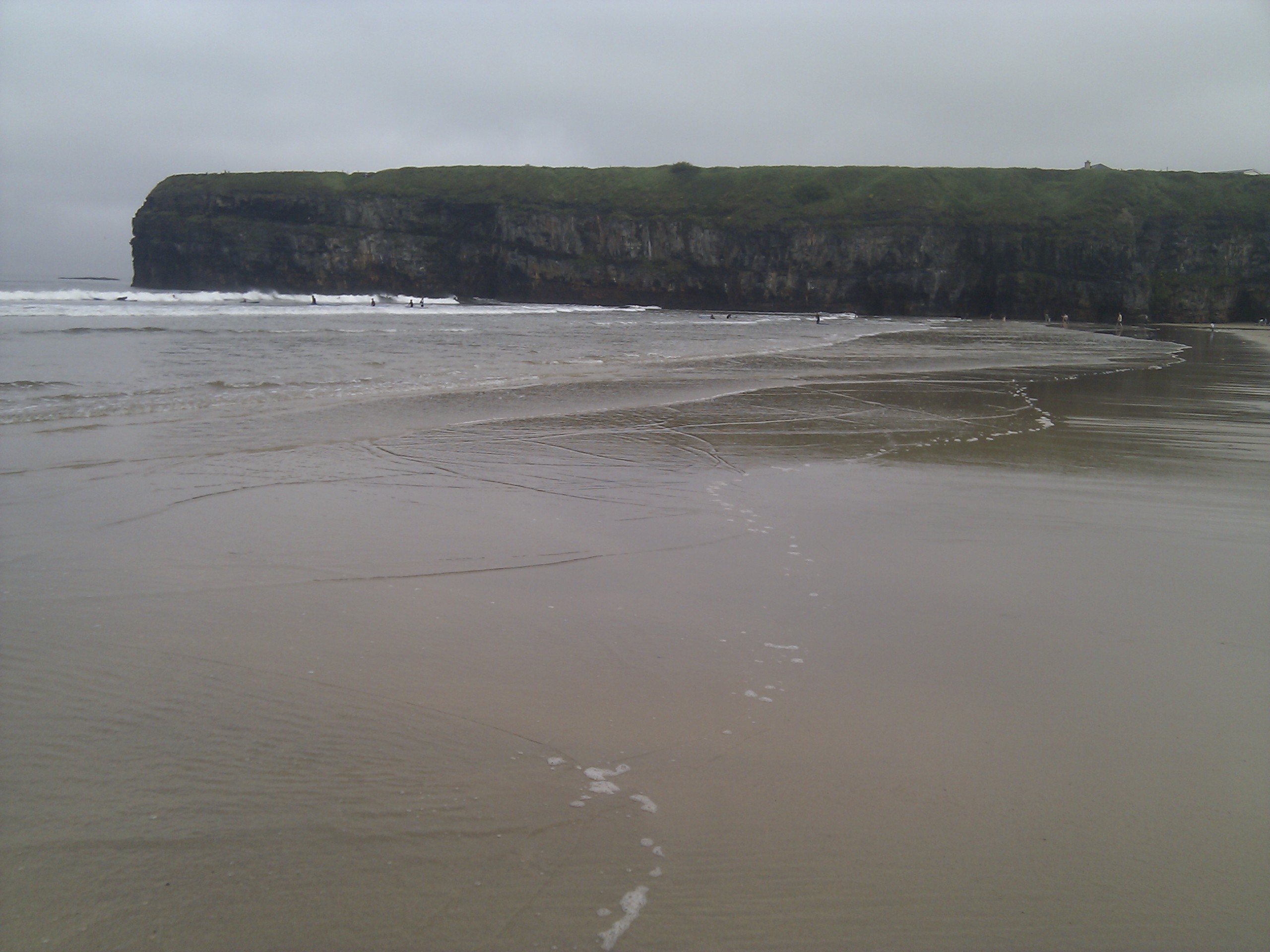
sand and cliff

Oolagh, seen from GST
W5G_4820 Glanageenty Wood Walk. 7th May 2017.

IMG_2660-001

Ballyhorgan Pano

Crag Cave_05
Topographic Map of Knocknagashel East, Knocknagashel, Co. Kerry, Ireland
Find elevation by address:

Places near Knocknagashel East, Knocknagashel, Co. Kerry, Ireland:
Knocknagashel East
Abbeyfeale West
Abbeyfeale
Glashanacree
Lyreacrompane Primary School
Lyracrumpane
Castleisland
36 Sráid An Chlochair
P51 H981
Knockaclarig
Maghanknockane
V31 Y398
N21
Kerry Airport
Kerry
Farranfore
Ballylongford
Rusheenpark
V93 Nc3h
Kilpaddoge
Recent Searches:
- Elevation map of Greenland, Greenland
- Elevation of Sullivan Hill, New York, New York, 10002, USA
- Elevation of Morehead Road, Withrow Downs, Charlotte, Mecklenburg County, North Carolina, 28262, USA
- Elevation of 2800, Morehead Road, Withrow Downs, Charlotte, Mecklenburg County, North Carolina, 28262, USA
- Elevation of Yangbi Yi Autonomous County, Yunnan, China
- Elevation of Pingpo, Yangbi Yi Autonomous County, Yunnan, China
- Elevation of Mount Malong, Pingpo, Yangbi Yi Autonomous County, Yunnan, China
- Elevation map of Yongping County, Yunnan, China
- Elevation of North 8th Street, Palatka, Putnam County, Florida, 32177, USA
- Elevation of 107, Big Apple Road, East Palatka, Putnam County, Florida, 32131, USA
- Elevation of Jiezi, Chongzhou City, Sichuan, China
- Elevation of Chongzhou City, Sichuan, China
- Elevation of Huaiyuan, Chongzhou City, Sichuan, China
- Elevation of Qingxia, Chengdu, Sichuan, China
- Elevation of Corso Fratelli Cairoli, 35, Macerata MC, Italy
- Elevation of Tallevast Rd, Sarasota, FL, USA
- Elevation of 4th St E, Sonoma, CA, USA
- Elevation of Black Hollow Rd, Pennsdale, PA, USA
- Elevation of Oakland Ave, Williamsport, PA, USA
- Elevation of Pedrógão Grande, Portugal