Elevation map of Ireland
Longitude: -8.24389
Latitude: 53.41291
Elevation: 51m / 167feet
Barometric Pressure: 101KPa
Elevation Map:
Satellite Map:
Related Photos:
From my little window
Isle of Dreams
Channel to the Skelligs

Wind, train and the sea..
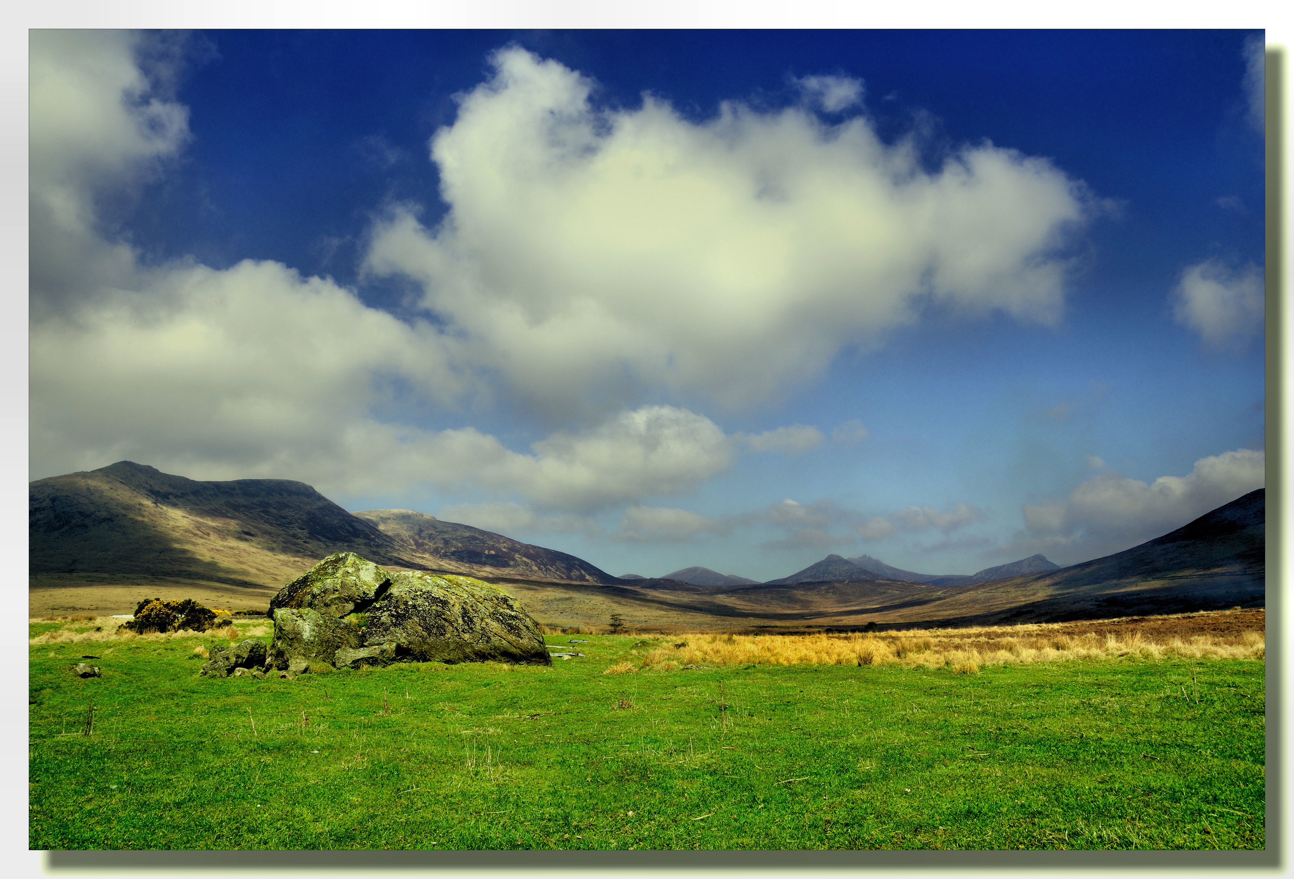
Big country
nite....

Ireland 4 views SP 697

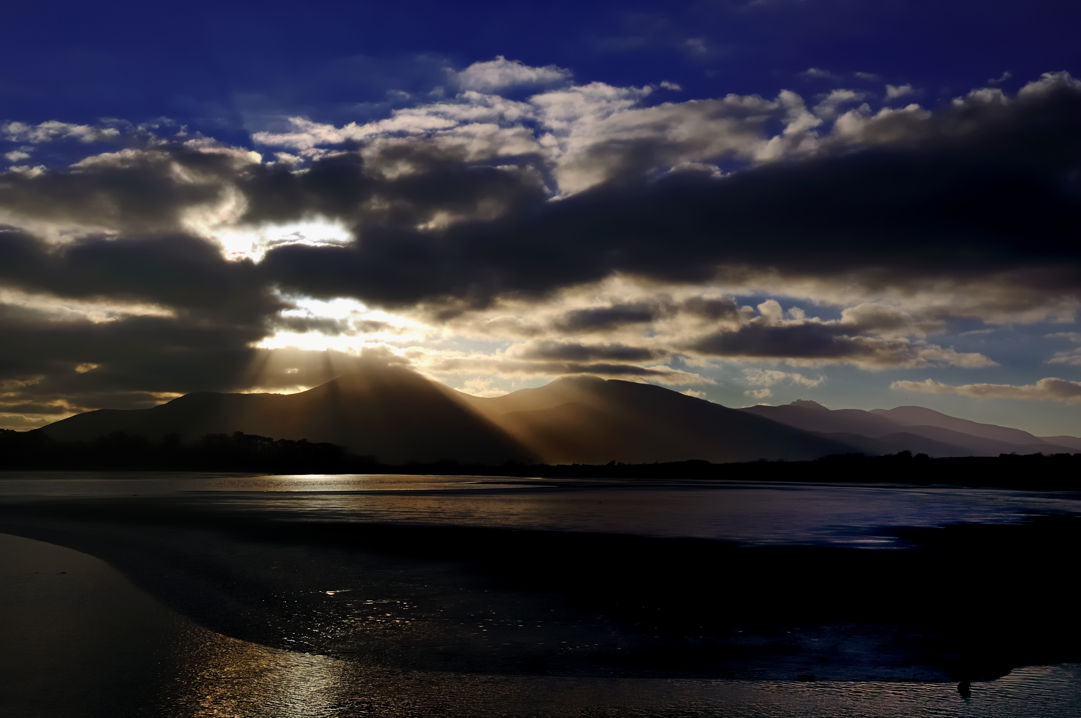
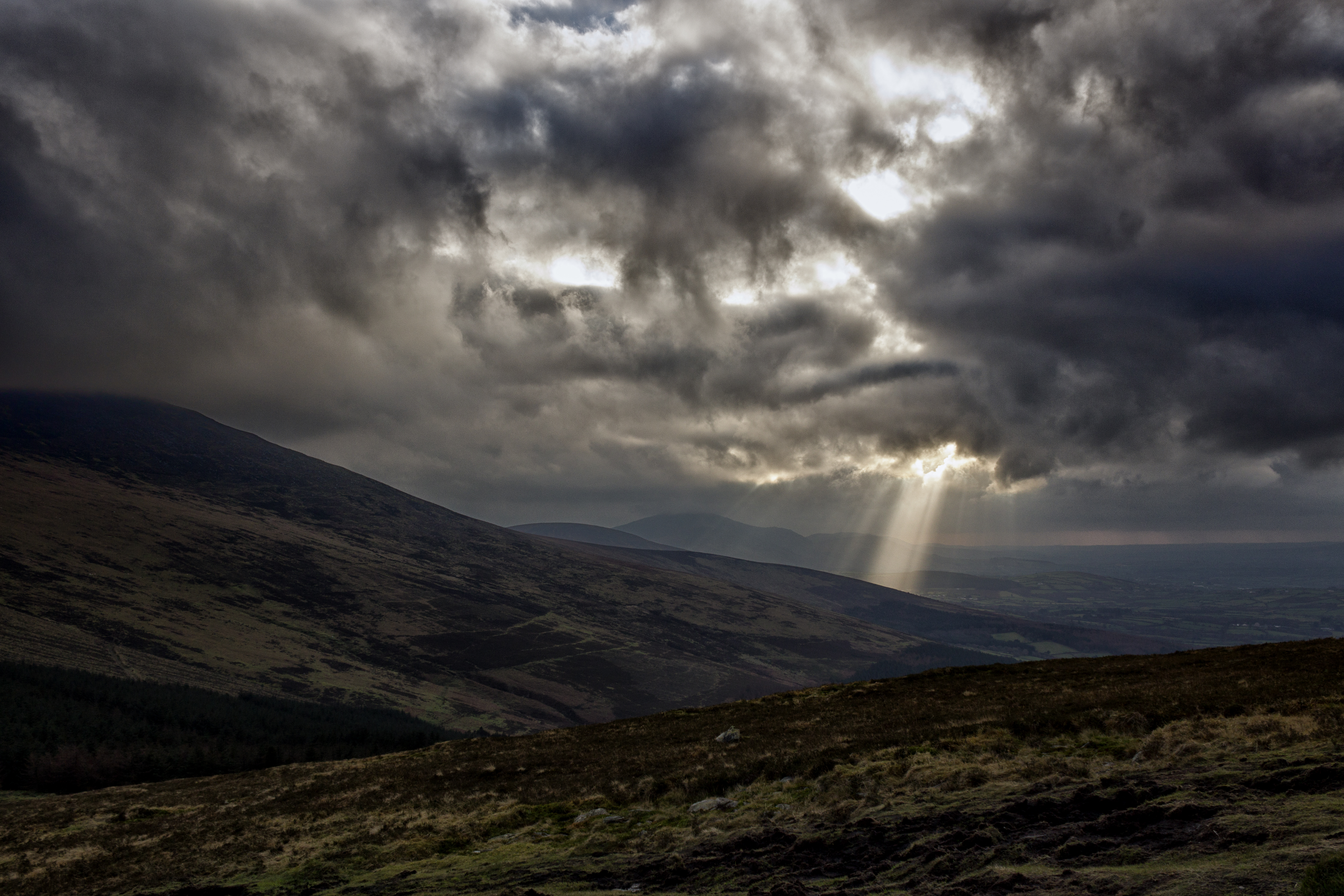
Sunset over the Galtee Mountains
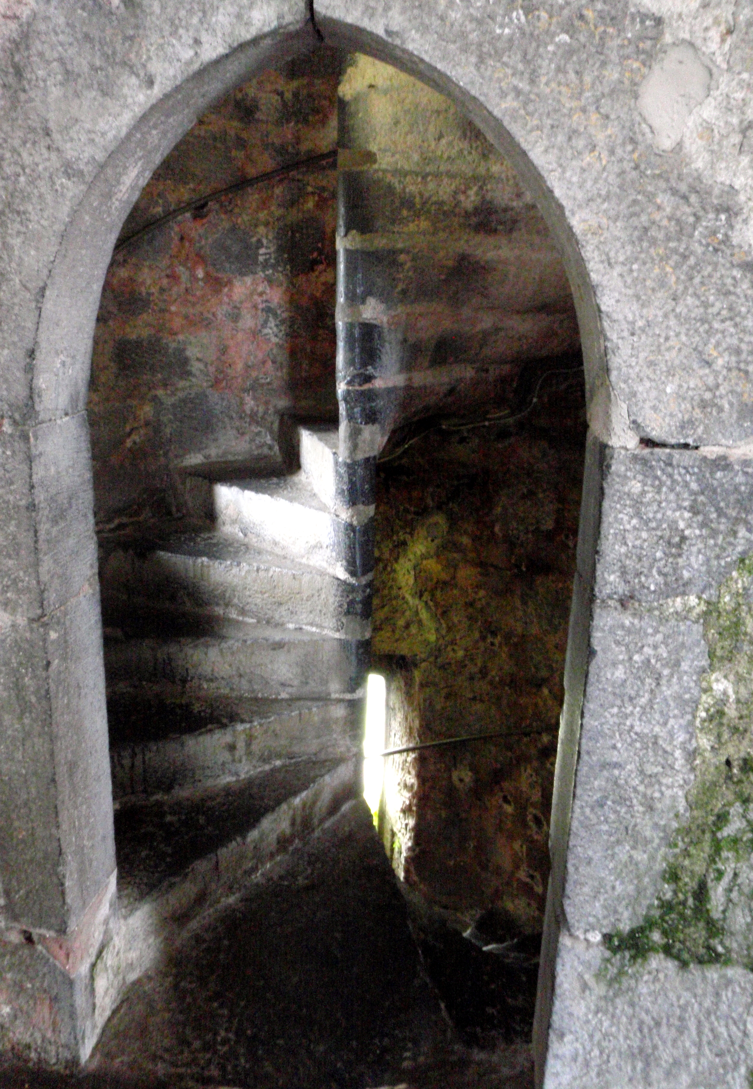
The treacherous stairs
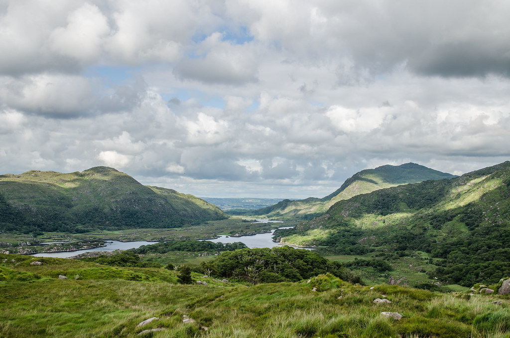
Otra vista de Lady's view.

Dunluce Castle - Northern Ireland
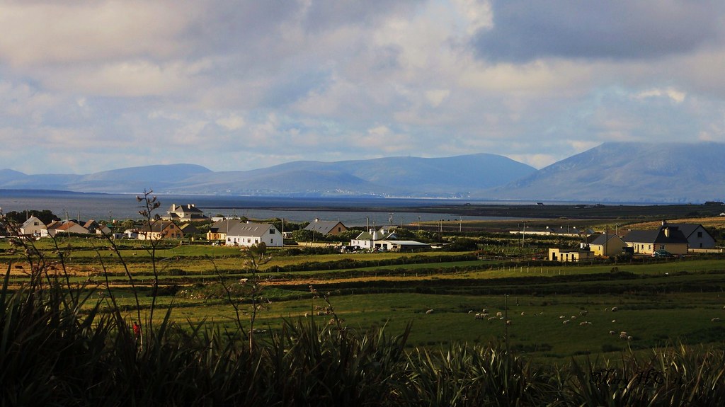
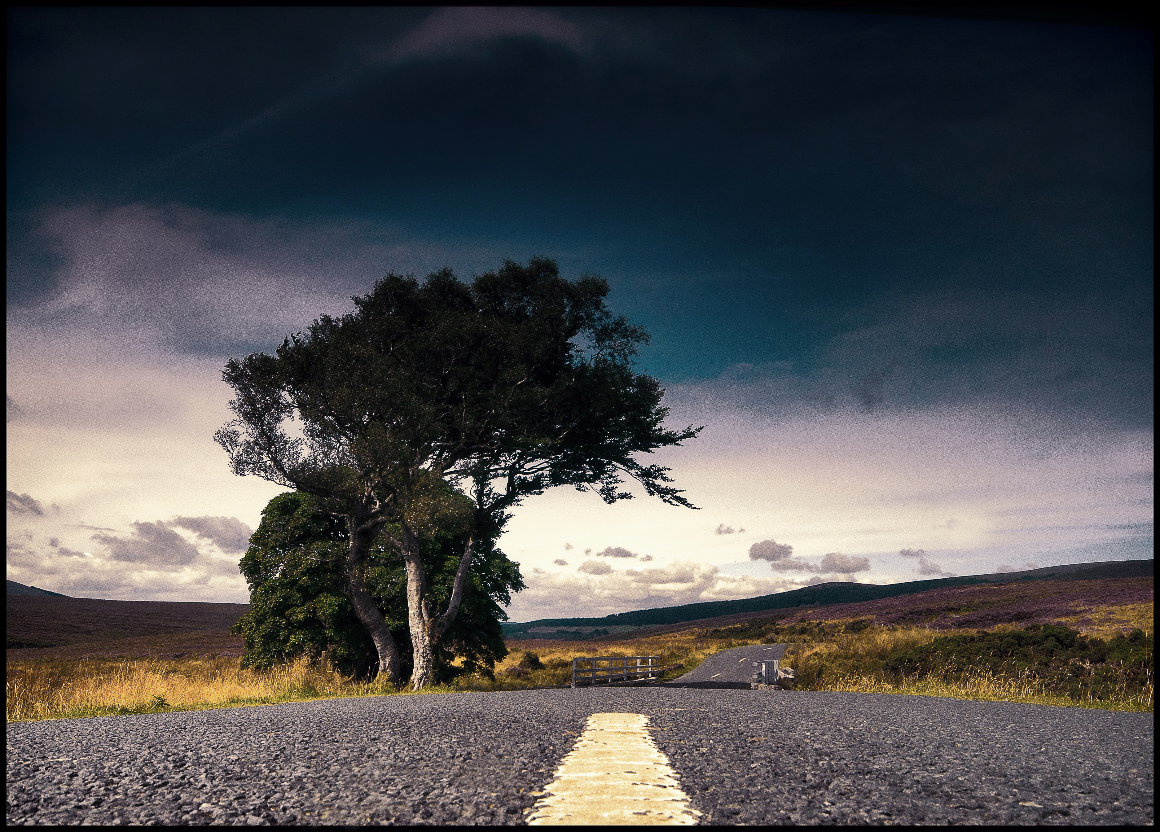
View from Tallagh road
Mourne Mountains

Sunrise on Sandymount Strand, Dublin, Ireland

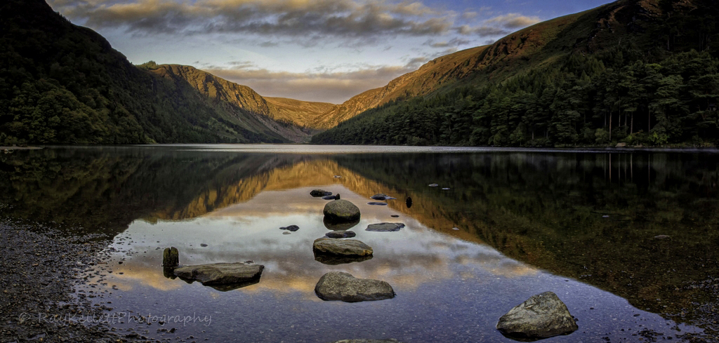
Lough Corrib, near Cornamona, county Galway, Ireland
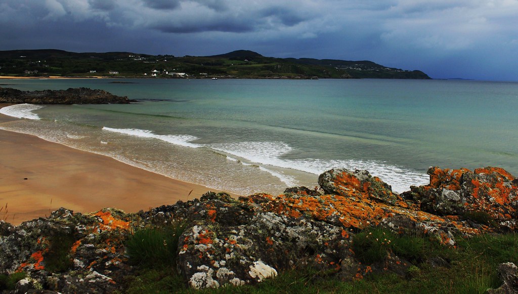
Dundrum Bay
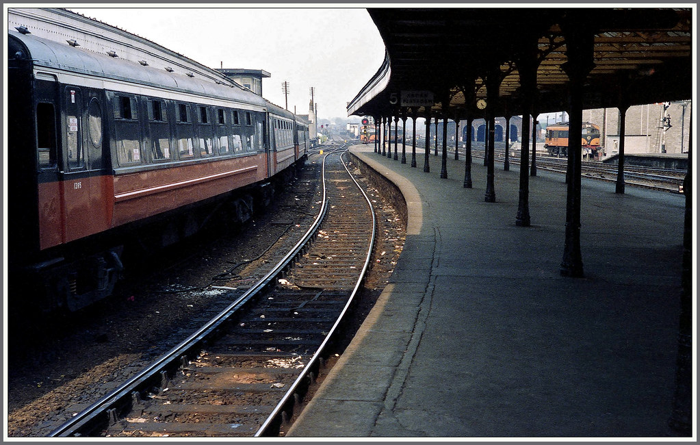
22nd may 1978 view allong platform 5 dublin connolly
Dún na nGall ÉIRE
The Ireland View

Irelands eye "Front View"
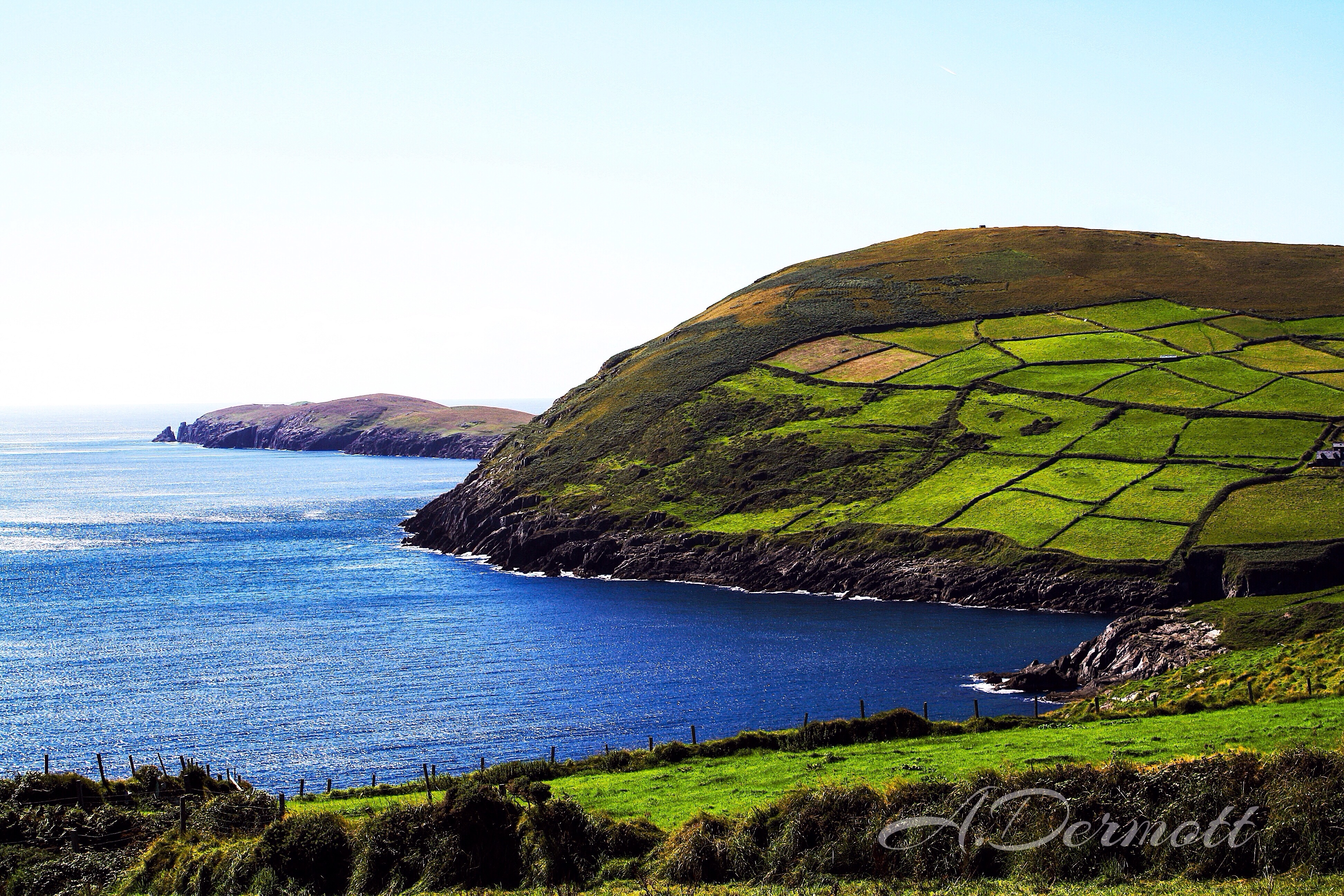
Sunset near Dingle, Ireland
Beam me up, Scotty!
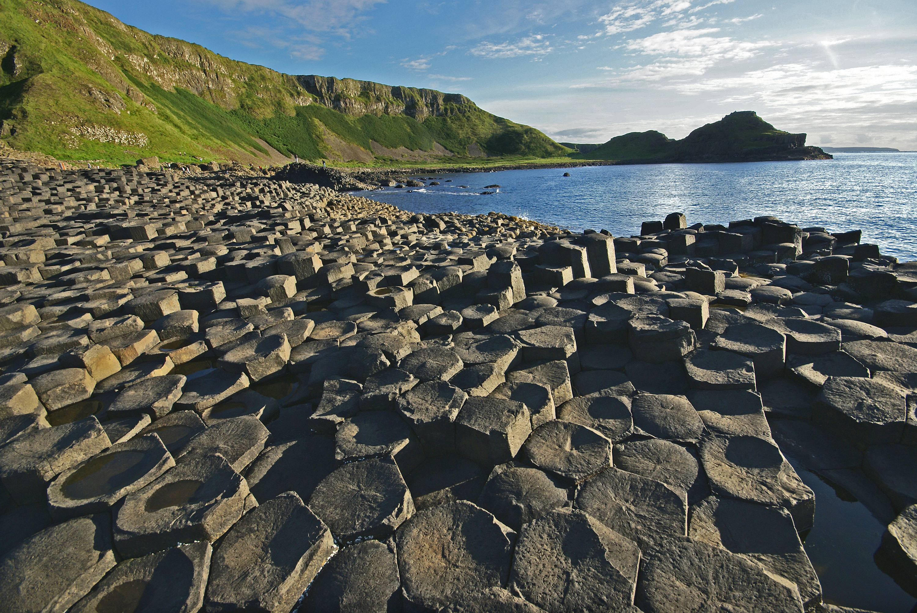
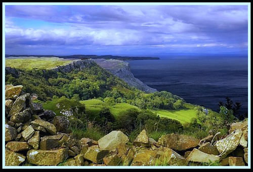
The coast at Giant's Causeway

The Cliffs of Moher - Ireland.
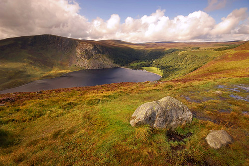
Return to Lough Tay

Mist rising on the lough
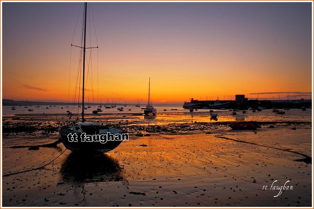
SUNSET SKERRIES HARBOUR IRELAND
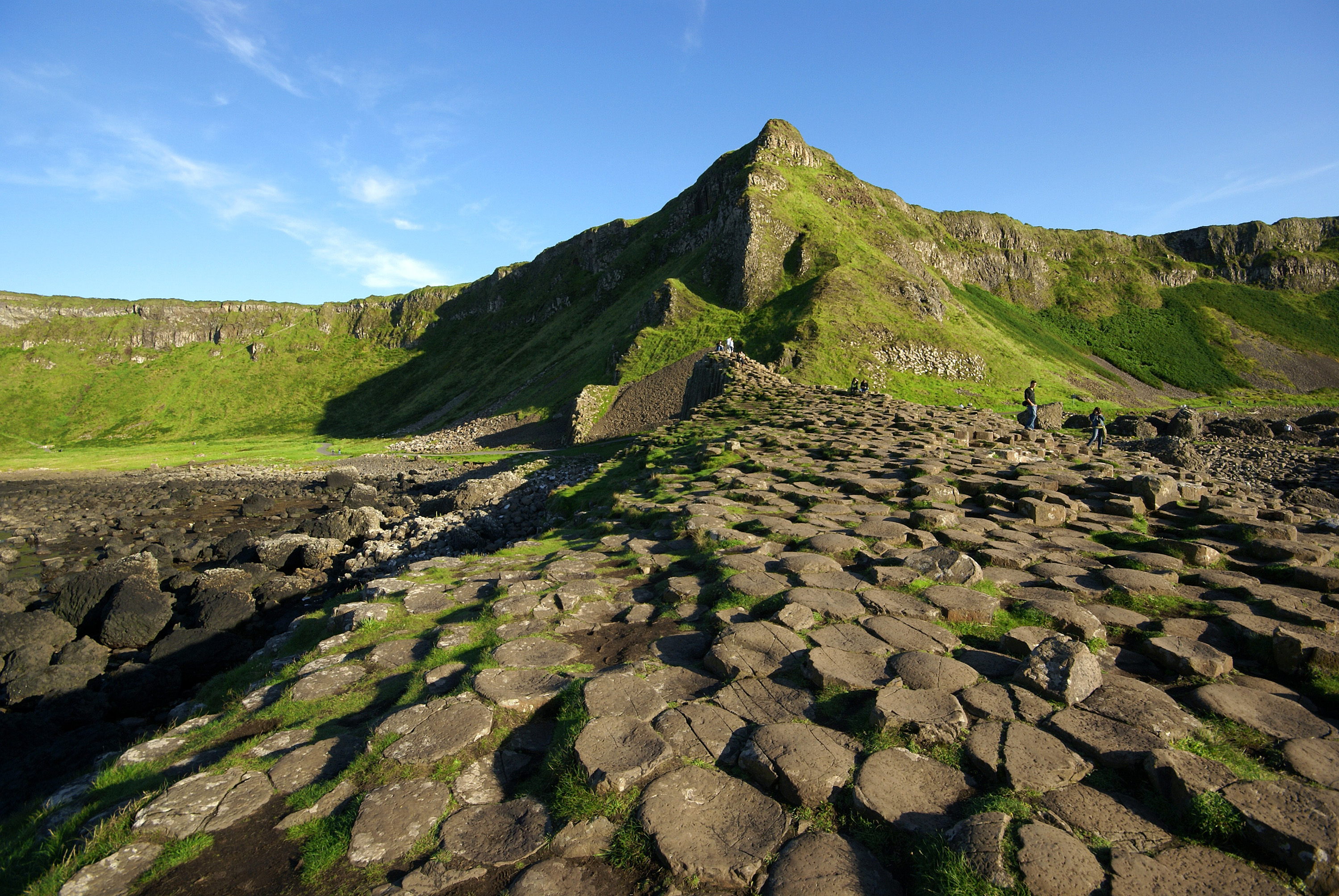
Giant's Causeway

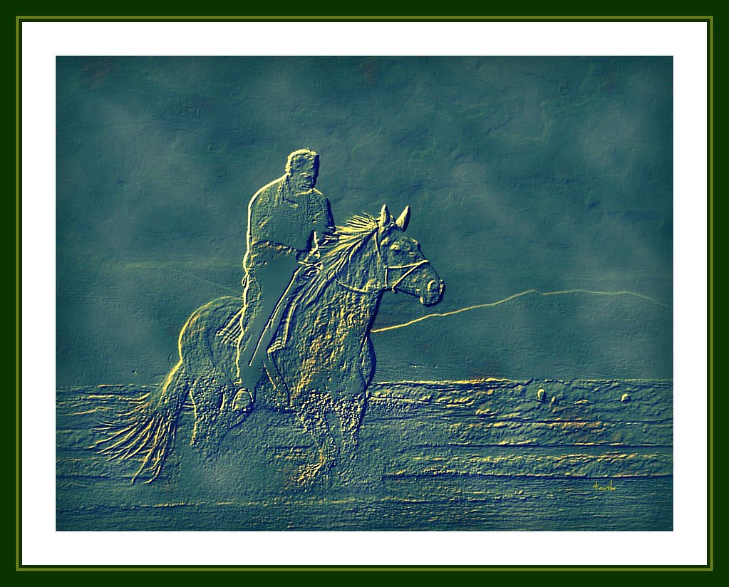
Gap of Dunloe Ride

Day 027
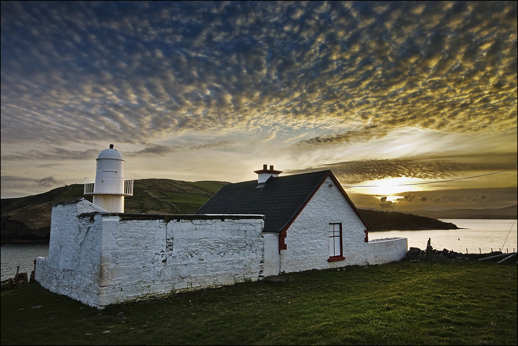
Brandon Creek - Dingle - Ireland 2011

Gap of Dunloe again
First light on the Glen

The Tea House.
Looks Like Somebody's At Home

Cattle Grazing - Blarney Castle Grounds
SHANGRI-LA.(EXPLORE Mar 18, 2008 #350)
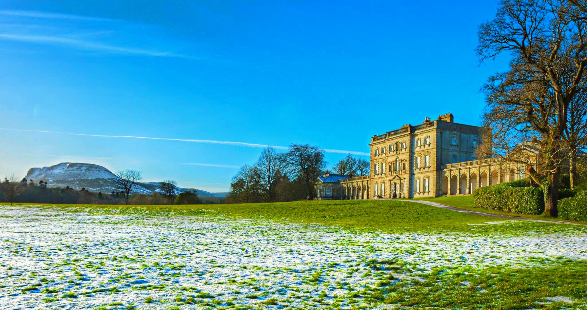
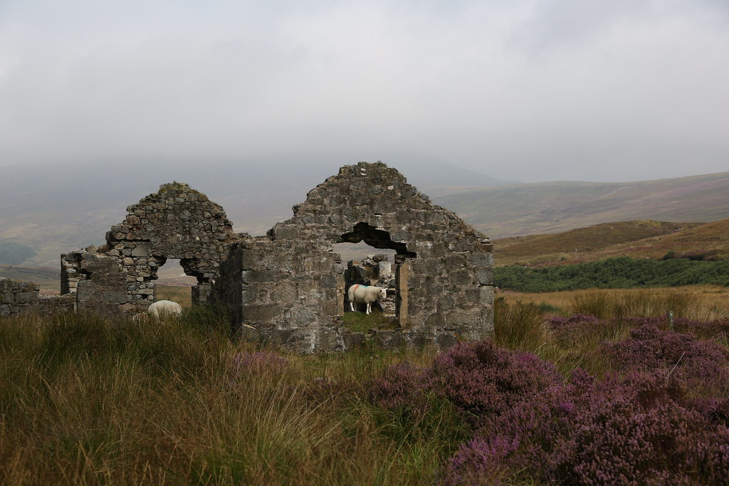
Flourencecourt House Enniskillen

Sumptuous Dinner (Impressions from Éire)

Overcast Lough Neagh
Mountain Road (please press L)
#EXPLORED#
Topographic Map of Ireland
Find elevation by address:

Places in Ireland:
Dublin
Donegal
Clare
Wicklow
Cork
Tipperary
Kerry
Galway
Kildare
Mayo
Wexford
Roscommon
Cavan
Longford
Ballycullane
Millbrook
Limerick
Offaly
Laois
Carlow
County Leitrim
County Kilkenny
Abbeyfeale West
Belmullet
Knocknagashel East
Farnbeg
County Meath
Knock Post Office
20 Gracemeadow Park, Cock Hill Rd, Stamullin, Co. Meath, Ireland
Ennis Lodge
1 Gulladoo Village, Cornaferst, Carrigallen, Co. Leitrim, Ireland
Wexford
Limerick City
Maynooth
Ballina
River Erne
Rossbeigh Strand
Lough Egish Food Park
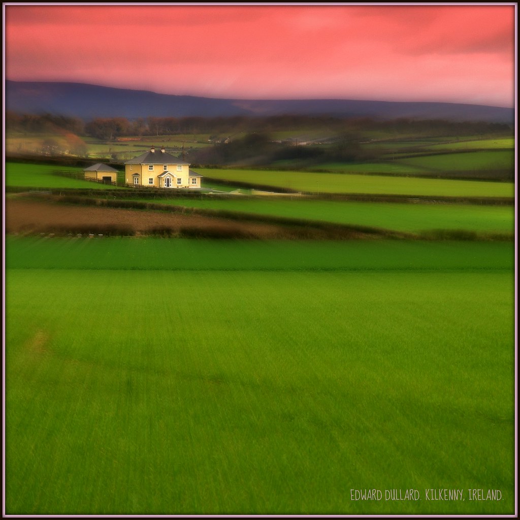
Daramona House
Skellig Islands
Valencia Harbour
Dingle Bay
County Louth
Westmeath
County Waterford
County Monaghan
County Sligo
County Westmeath
Knock
Bride Road
536v+9m
Places near Ireland:
Ballygill
Bellagill
Shannonbridge
Raghra
Crannagh
14 Westwood, Summerhill, Athlone, Co. Roscommon, Ireland
Summerhill
Athlone
Athlone Towncentre
Gortanisky
Curraghavarna
Banagher
Kci Manufacturing
Faddan More
Belmont
Oxpark
3 Mcdonagh Ave
Cloughjordan
Garrykennedy Harbour
Ballyvaughan
Recent Searches:
- Elevation of Corso Fratelli Cairoli, 35, Macerata MC, Italy
- Elevation of Tallevast Rd, Sarasota, FL, USA
- Elevation of 4th St E, Sonoma, CA, USA
- Elevation of Black Hollow Rd, Pennsdale, PA, USA
- Elevation of Oakland Ave, Williamsport, PA, USA
- Elevation of Pedrógão Grande, Portugal
- Elevation of Klee Dr, Martinsburg, WV, USA
- Elevation of Via Roma, Pieranica CR, Italy
- Elevation of Tavkvetili Mountain, Georgia
- Elevation of Hartfords Bluff Cir, Mt Pleasant, SC, USA