Elevation of Muzzleloader Ln, West Virginia, USA
Longitude: -77.903975
Latitude: 39.547596
Elevation: 145m / 476feet
Barometric Pressure: 100KPa
Elevation Map:
Satellite Map:
Related Photos:

Falling (Explored)
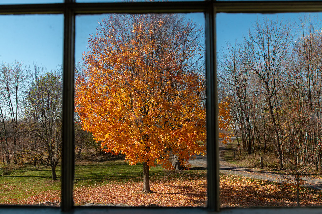
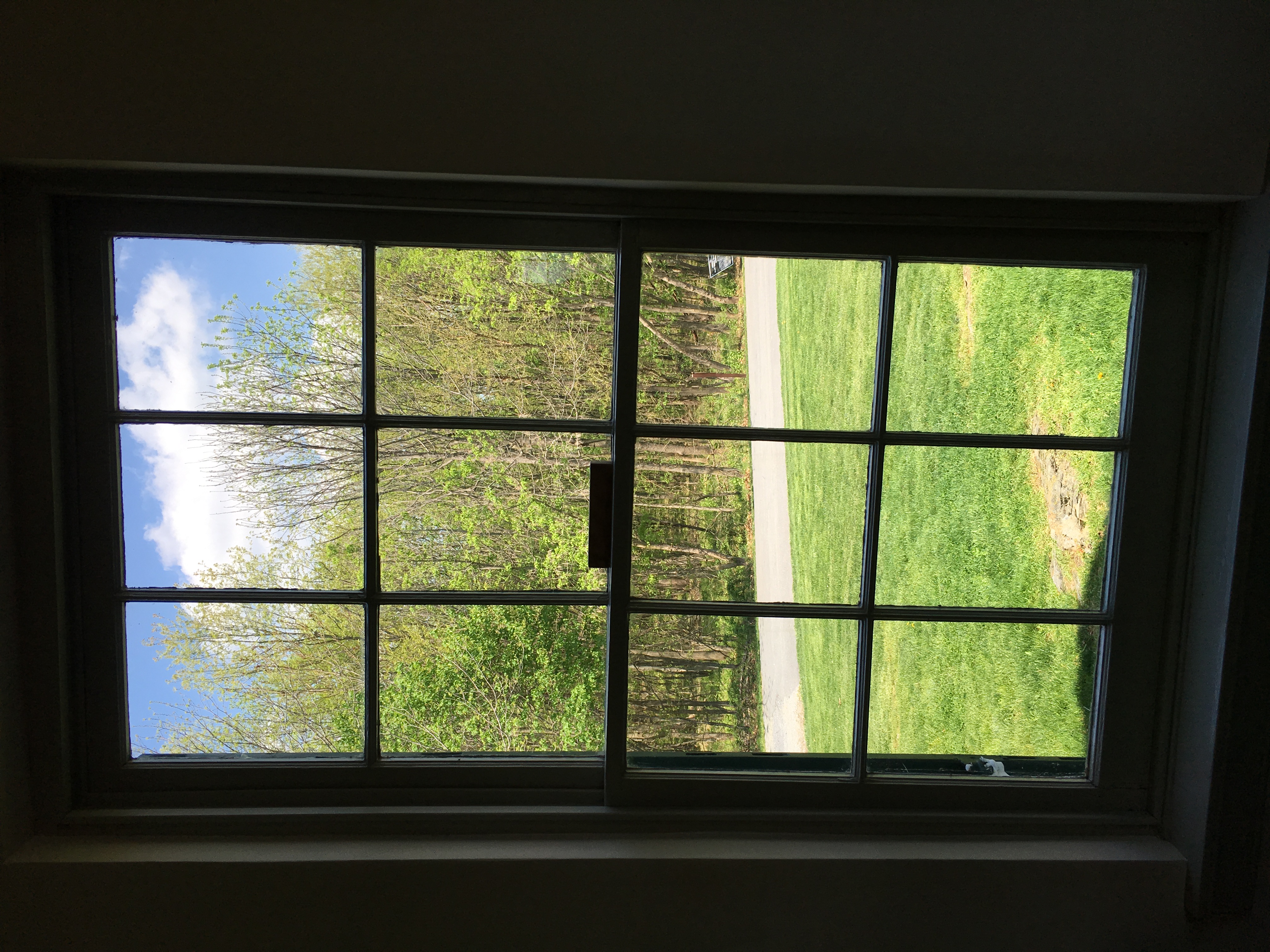
Looking Out The Church Window.
US 11-1-2

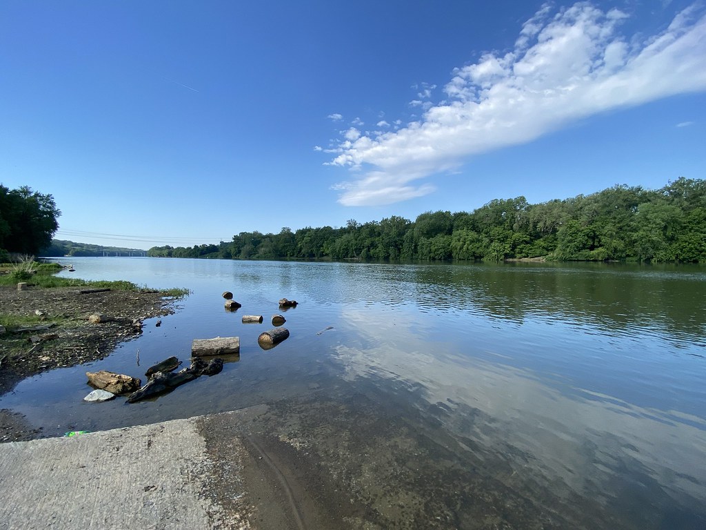
Potomac River

1985 01-27 1148 Norfolk Southern SD45-1767 S/B Shepherdstown, WV

CAB VIEW

2021 07-21 1945-6 W&W GP38-2-2256, 2689 N/B 301 Turn, Falling Waters, WV

Conococheague Creek Meets The Potomac River

Sunset On The Six Eight

Along the Canal
Potomac River

Canal and Towpath

Climb on up for a Great View

Ft Frederick State Park
View of the West Virginia Power Plant across Dam No. 4 of the Potomac at Downsville MD

Conococheague Aqueduct

Panoramic view of Potomac River at Dam 5

Conococheague Aqueduct
Antietam NB ~ view from Dunker Church
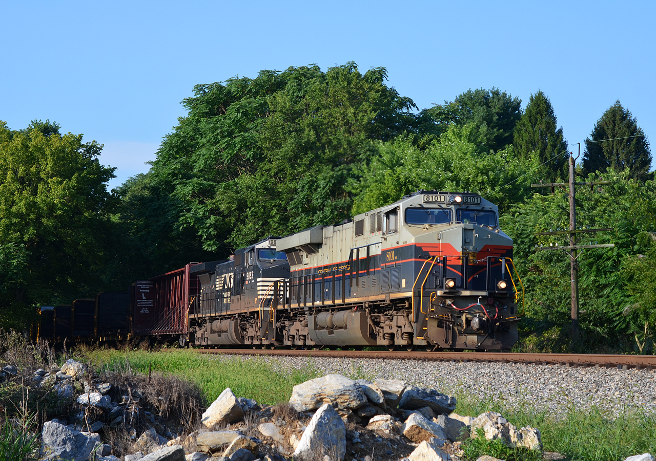
2020 08-11 0813-4 NS-CofG ES44AC-8101 N/B 12R St. James, MD

2021-03-10 0822 NS 8014 Jordon Rd, Fairplay, MD

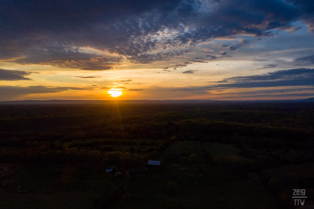
The New Day Brings its Shining Sun

Rainy Snax, Maryland

F FOR FRESH

Twelve-Pound Napoleon Complex

B&O ROUNDHOUSE COMPLEX

RURAL SCENE

Homesteadin'

Antietam National Battlefield

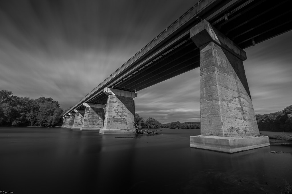
HIGH ABOVE THE POTOMAC

NS 13R - Shepherdstown, WV

Afternoon At Antietam

Morning on the Conococheague Creek in Williamsport MD

Anyone Need A Light?

NS M2R - Shepherdstown, WV

Bluebells, herald of spring

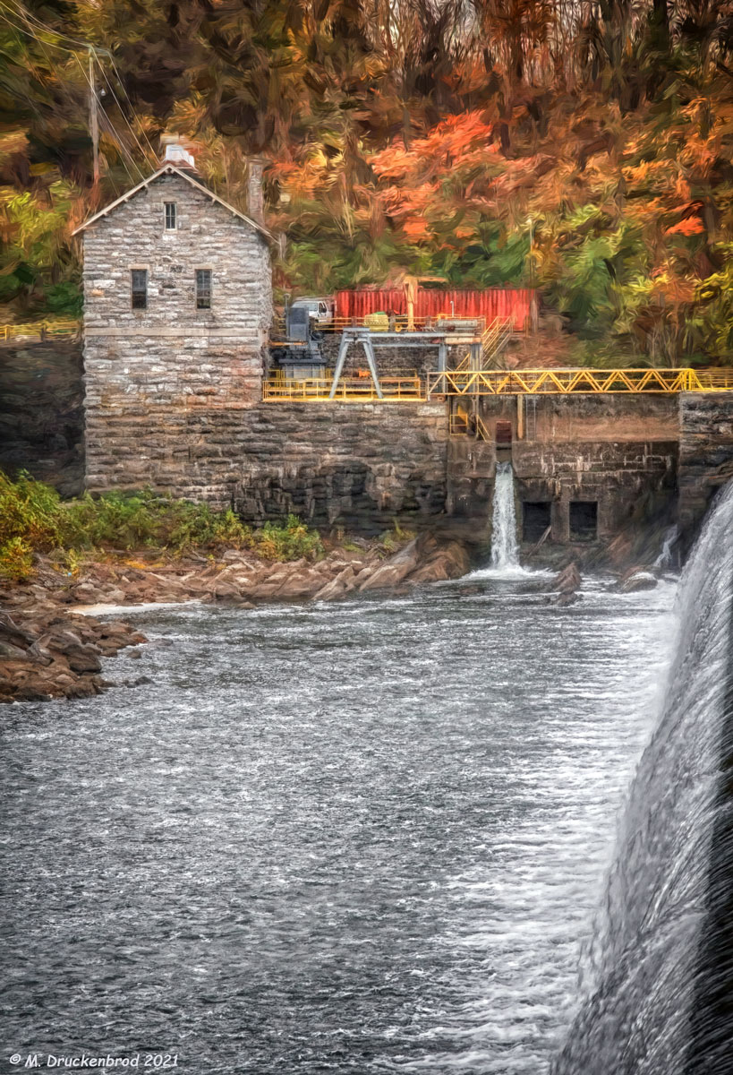
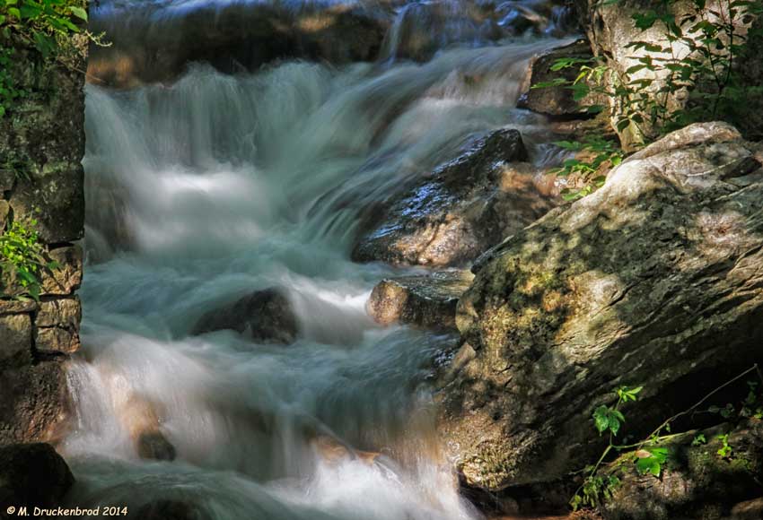
Water Fall on Little Conococheague Creek
Sunset Near Sharpsburg
Upstream view of Town Run, Shepherdstown, West Virginia

View from Smoketown Road, Antietam National Battlefield, Maryland, United States

The Cornfield

D.R. Miller Farm, Antietam National Battlefield, Sharpsburg, Maryland
Topographic Map of Muzzleloader Ln, West Virginia, USA
Find elevation by address:

Places near Muzzleloader Ln, West Virginia, USA:
69 Kendig Ln
Neck Rd, Williamsport, MD, USA
358 Aldrin Ln
Hedgesville High School
169 Vaughndom Way
403 Athletic St
WV-45, Martinsburg, WV, USA
2104 Files Cross Rd
3773 Shepherdstown Rd
1015 Lemir Dr
Tuscarora
Downsville Pike, Williamsport, MD, USA
20, Downsville
Woburn Rd, Sharpsburg, MD, USA
Dry Run Road
1004 Lovelace Way
Martinsburg Fire Station 1
Martinsburg
War Memorial Park
St Joseph's Roman Catholic
Recent Searches:
- Elevation of Corso Fratelli Cairoli, 35, Macerata MC, Italy
- Elevation of Tallevast Rd, Sarasota, FL, USA
- Elevation of 4th St E, Sonoma, CA, USA
- Elevation of Black Hollow Rd, Pennsdale, PA, USA
- Elevation of Oakland Ave, Williamsport, PA, USA
- Elevation of Pedrógão Grande, Portugal
- Elevation of Klee Dr, Martinsburg, WV, USA
- Elevation of Via Roma, Pieranica CR, Italy
- Elevation of Tavkvetili Mountain, Georgia
- Elevation of Hartfords Bluff Cir, Mt Pleasant, SC, USA