Elevation of Tuscarora, WV, USA
Location: United States > West Virginia > Berkeley County >
Longitude: -77.905318
Latitude: 39.4514514
Elevation: 150m / 492feet
Barometric Pressure: 100KPa
Elevation Map:
Satellite Map:
Related Photos:
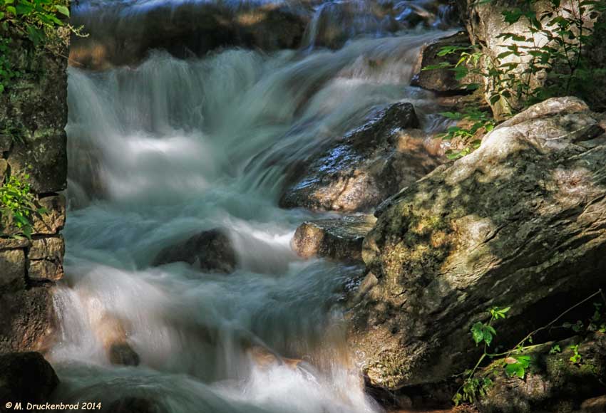
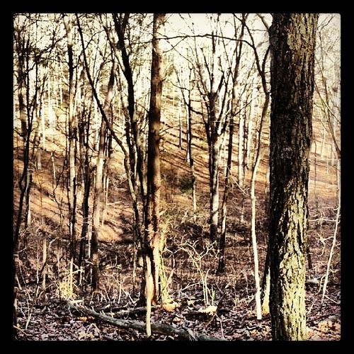
Upstream view of Town Run, Shepherdstown, West Virginia
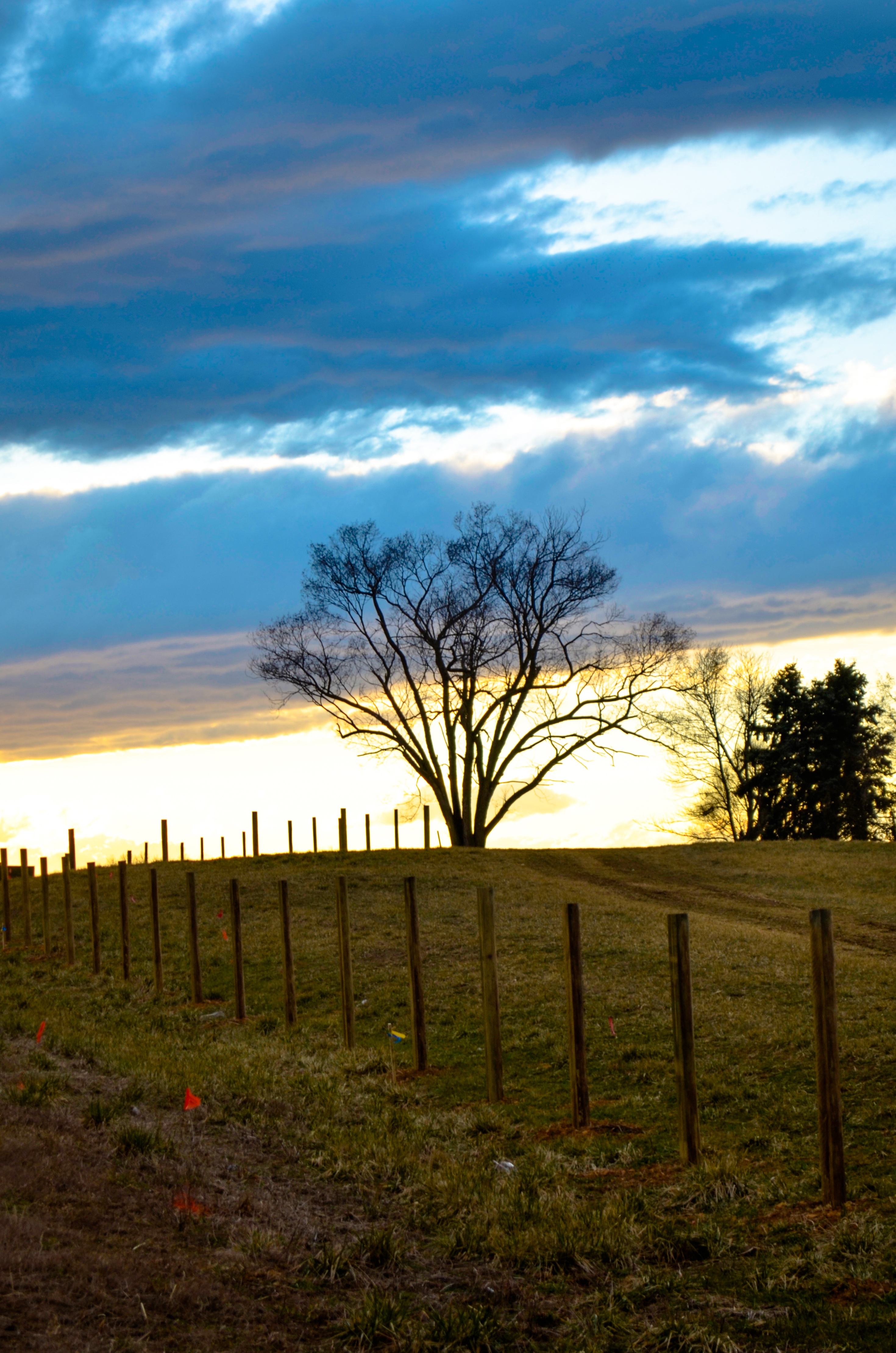
field-sunset
0189 Shepherdstown, WV
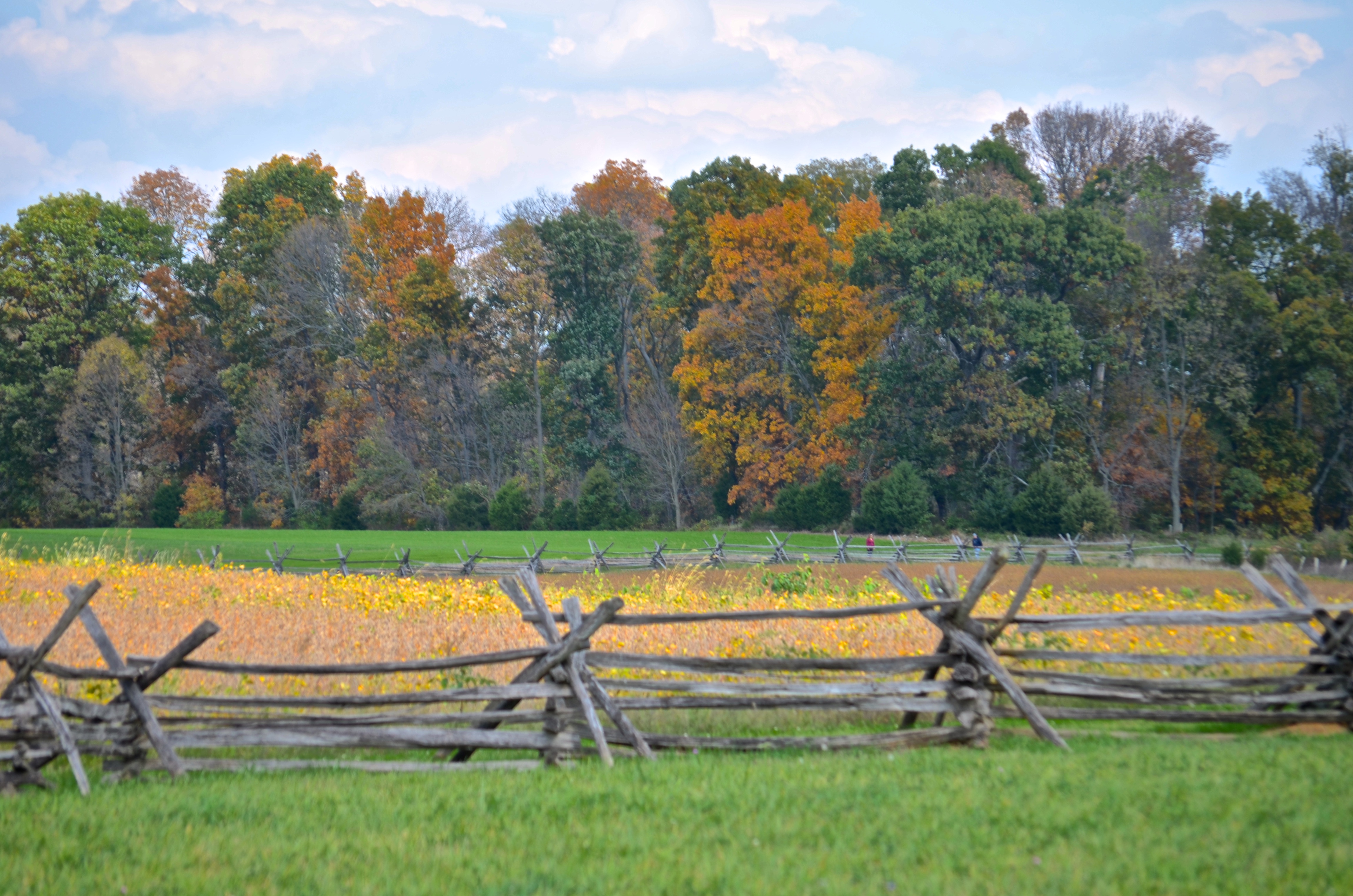
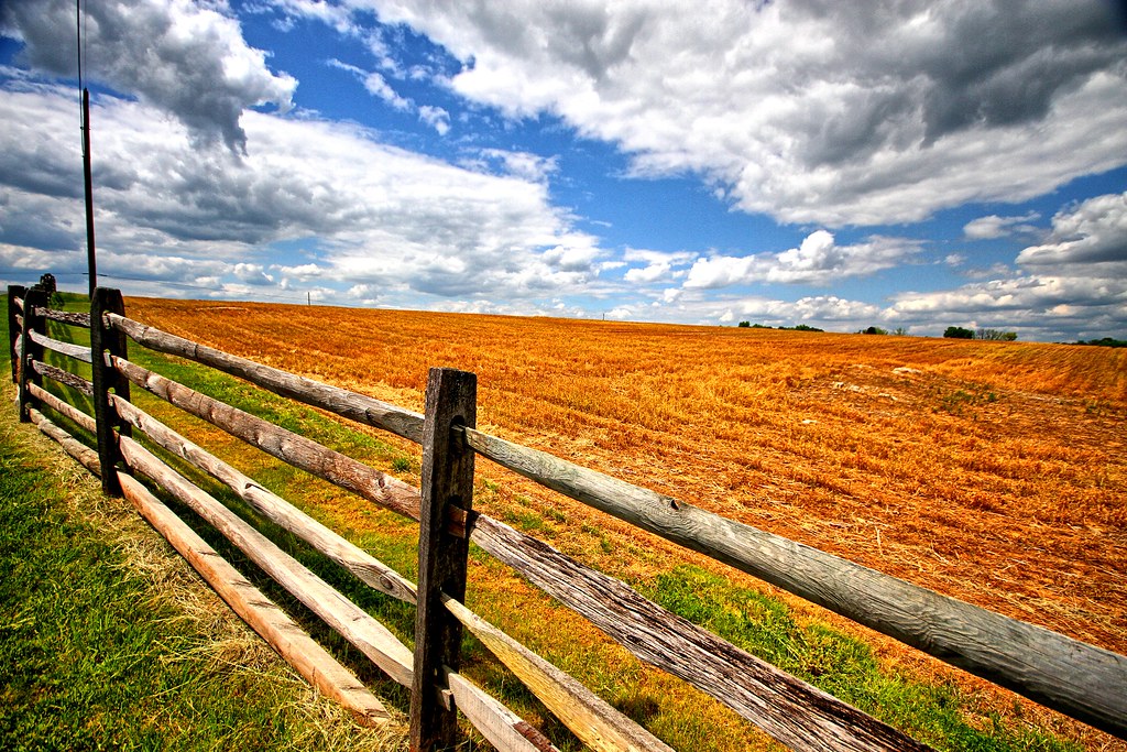
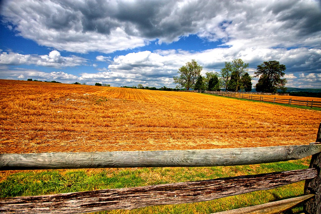
Cornfield, Antietam, rail fence
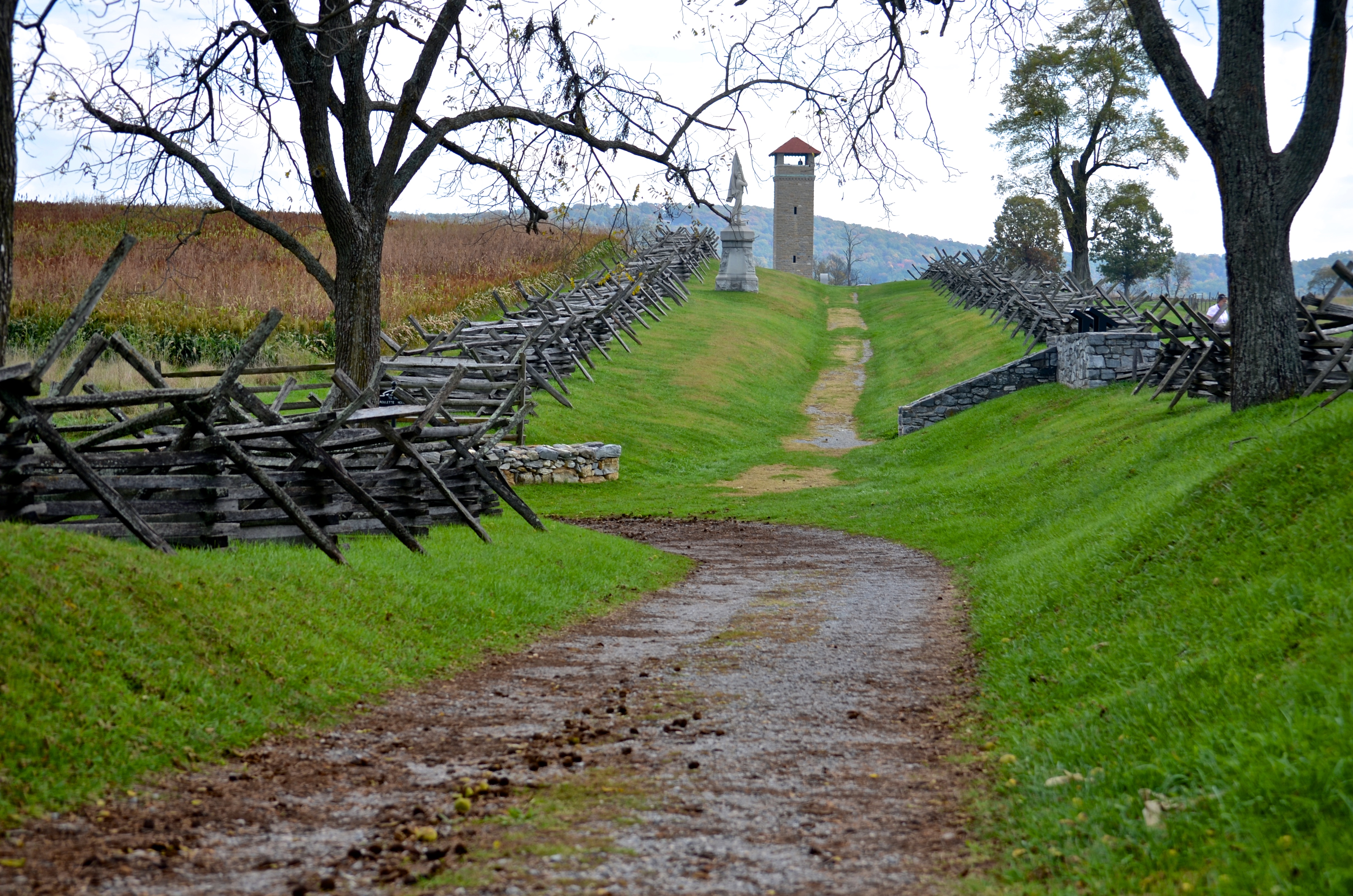
Bloody Lane, Antietam
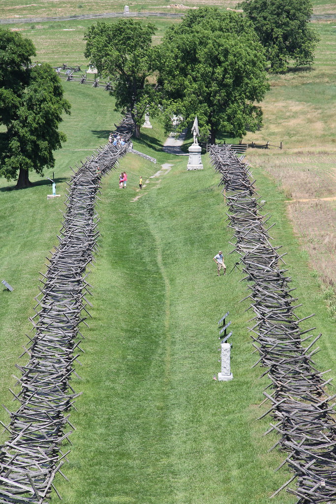
Antietam National Battlefield - View of Bloody Lane from the Observation Tower
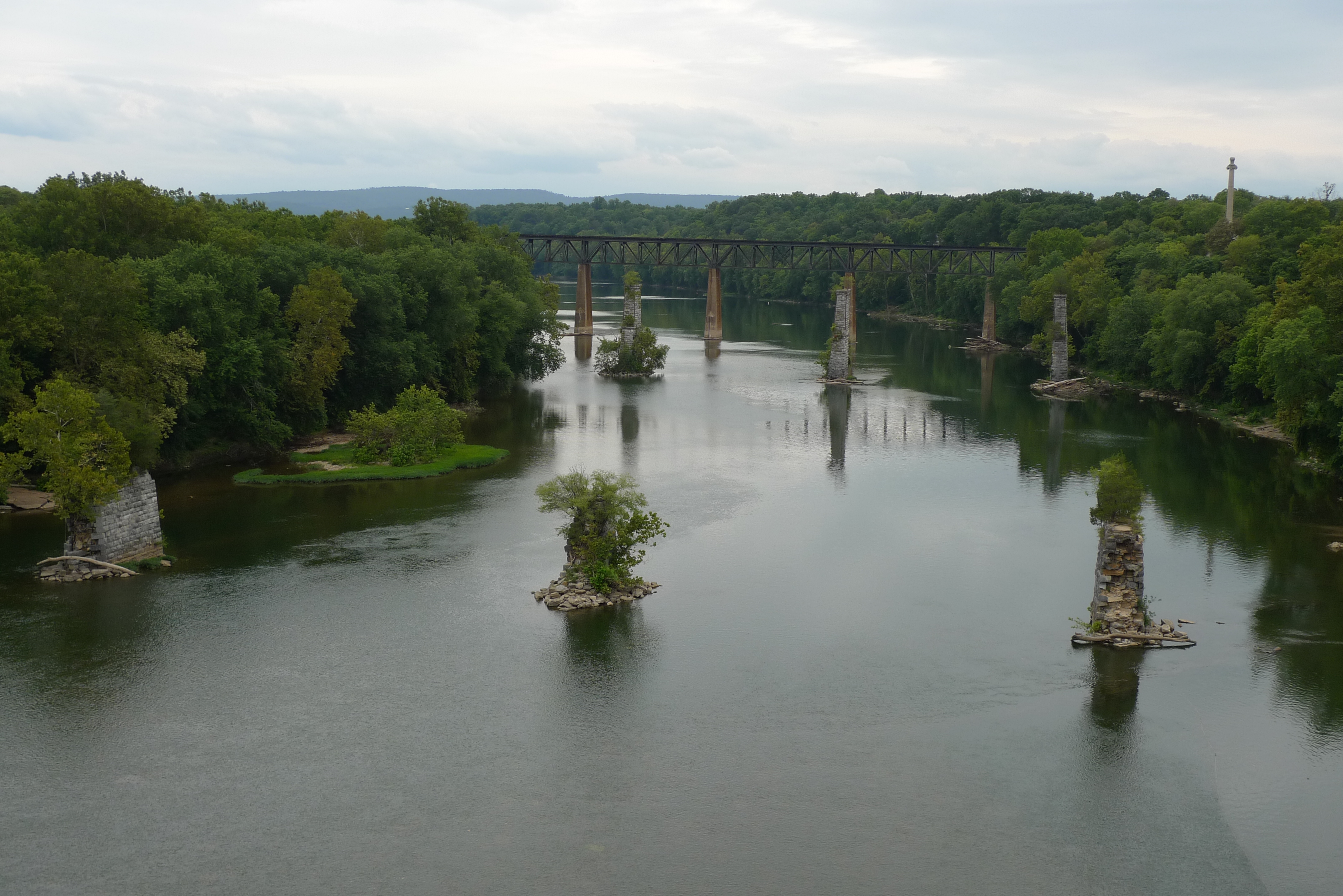
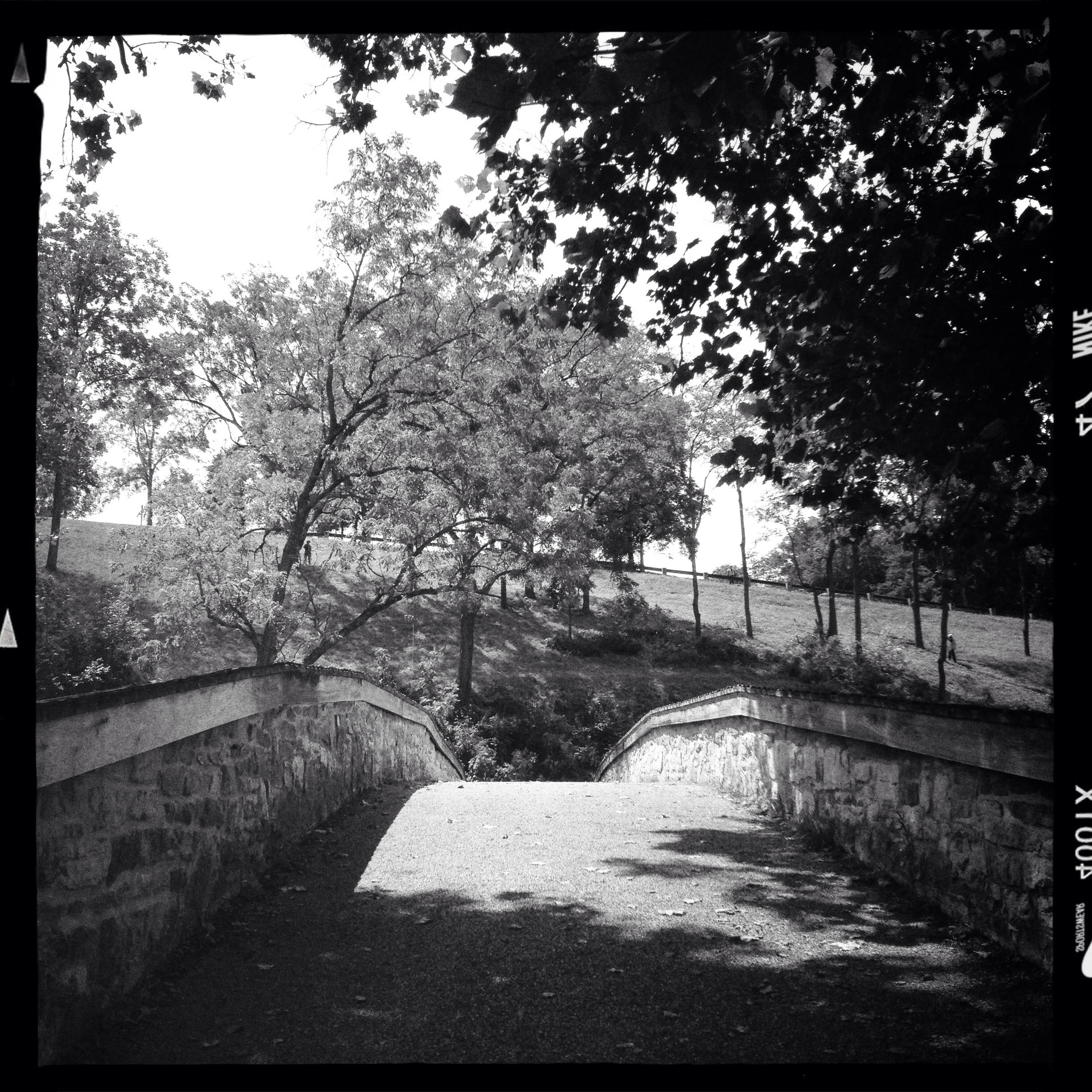
view from the James Rumsey (Sheperdstown Pike) Bridge

_RWB6124.jpg

Back Alley view (behind German Street)
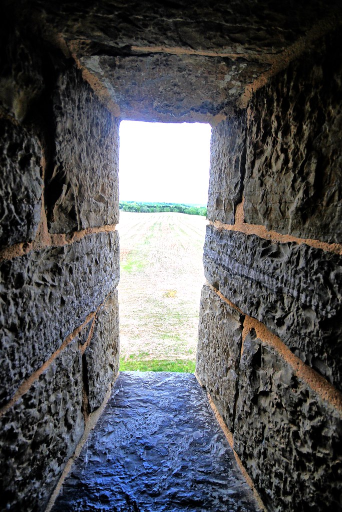
View out another window

_RWB6215-Edit-Edit-2-Edit-Edit.jpg
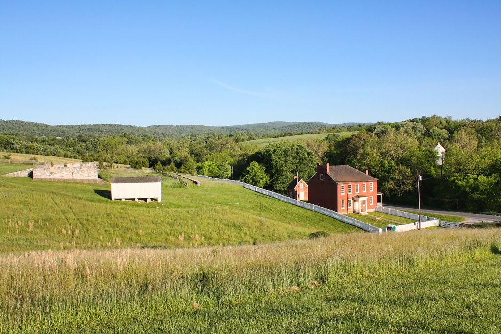
Sherrick Farm
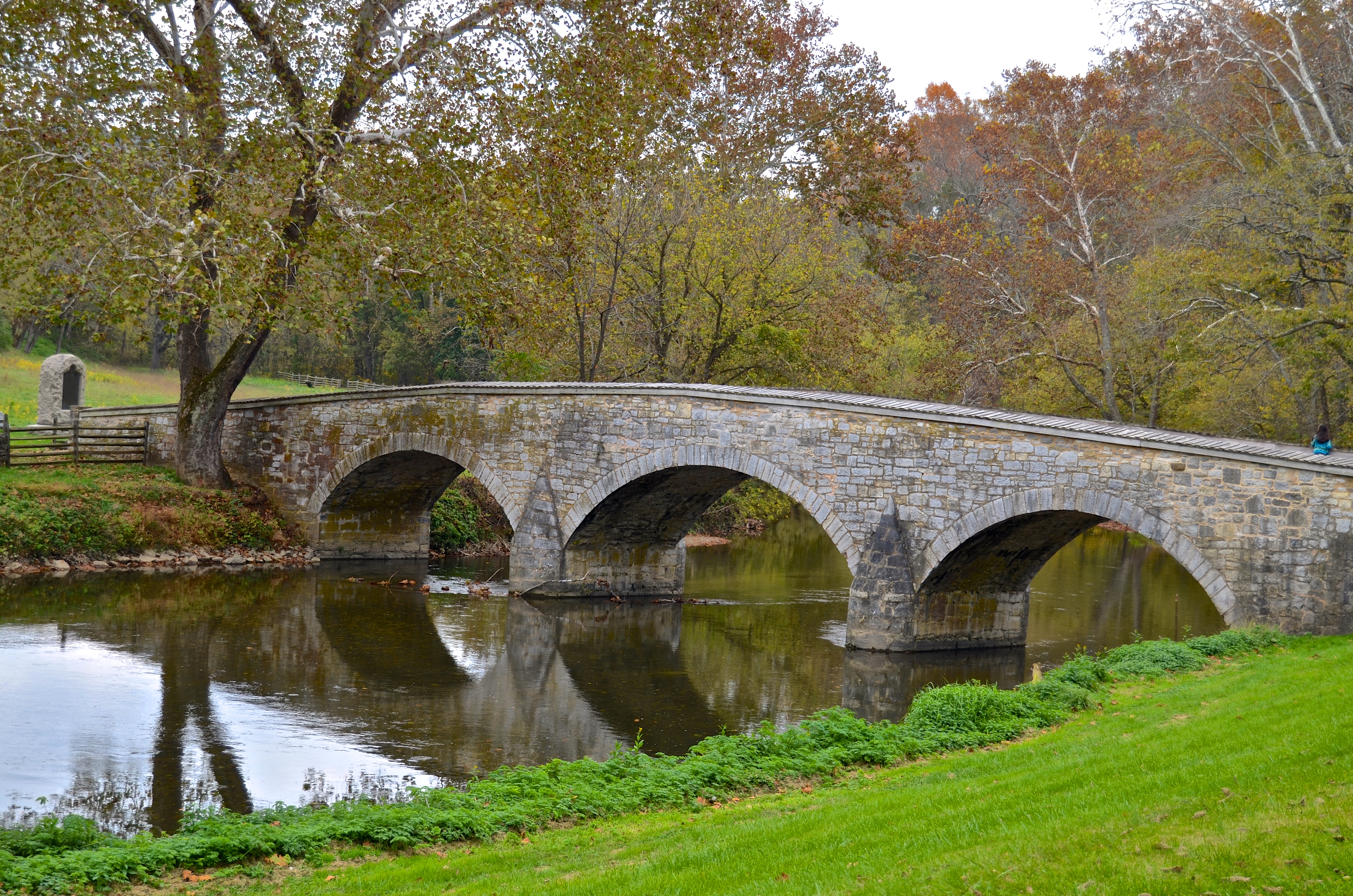
Burnside's Bridge, Antietam Creek
View from the Mumma Farm
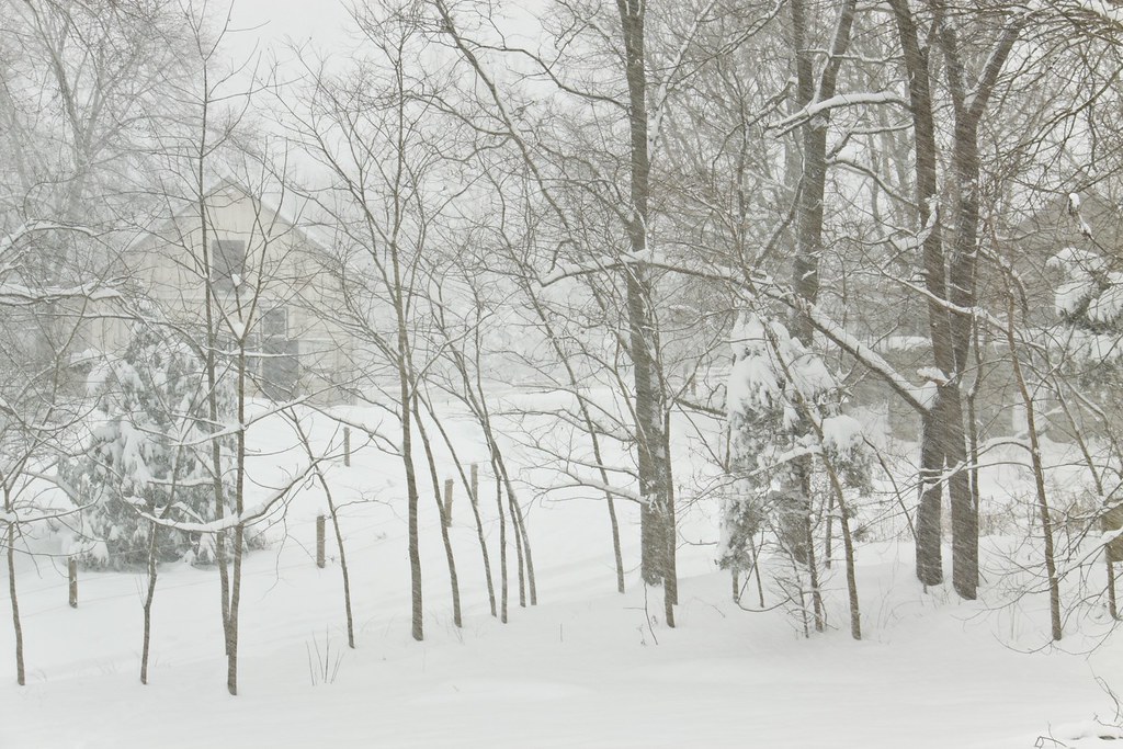
Today's Obligatory Snow Picture
Burnside's Bridge
Behind Dunker Church
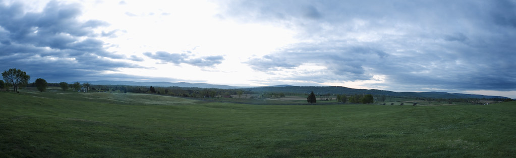
3 shot Pano of the Antietam Battlefield
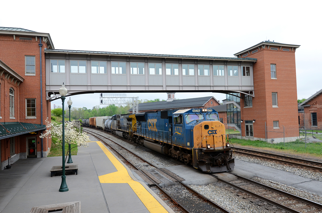
2016 04-27 1:48PM CSX SD70MAC-4770 E/B Q-401, Martinsburg, WV.

Cubicle Sunset
Burnside's Bridge

ANTIETAM BLOODY LANE SUNDOWN
0005 Elk Branch Presbyterian Church, Duffields, WV
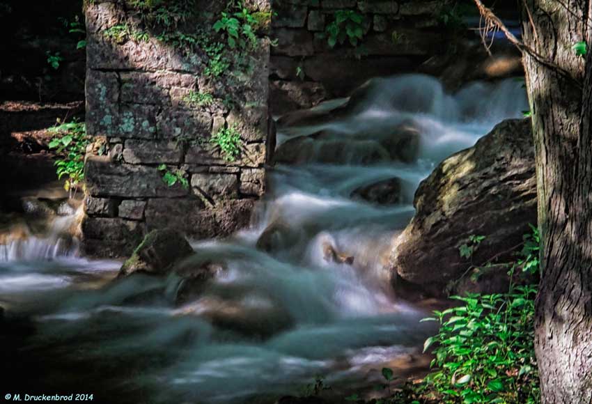
Falling Waters Falls Closeup

Falling Waters Falls

_RWB6254-Edit-Edit.jpg
0012 C&O Canal Towpath, MD

Antietam Battlefield - 2010-04-27 (79)
This is why I like the...

0461 Red-bellied Woodpecker, Shepherdstown, WV
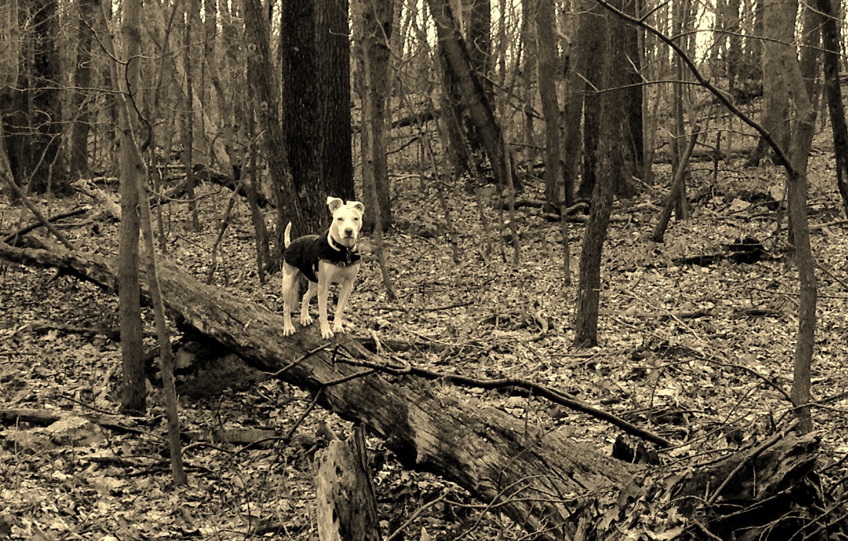
Poko shows off her new log walking skills
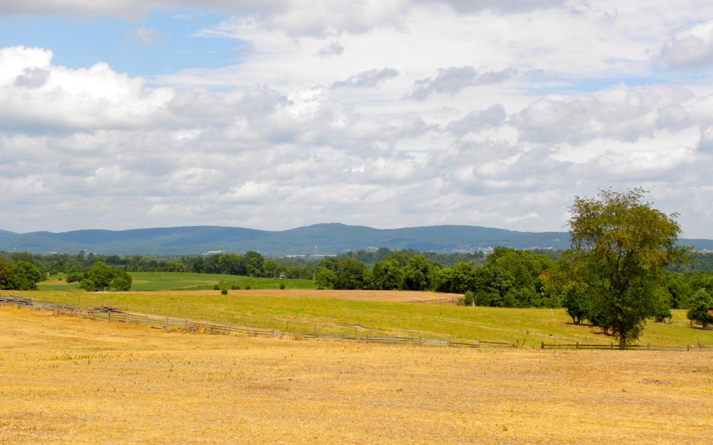
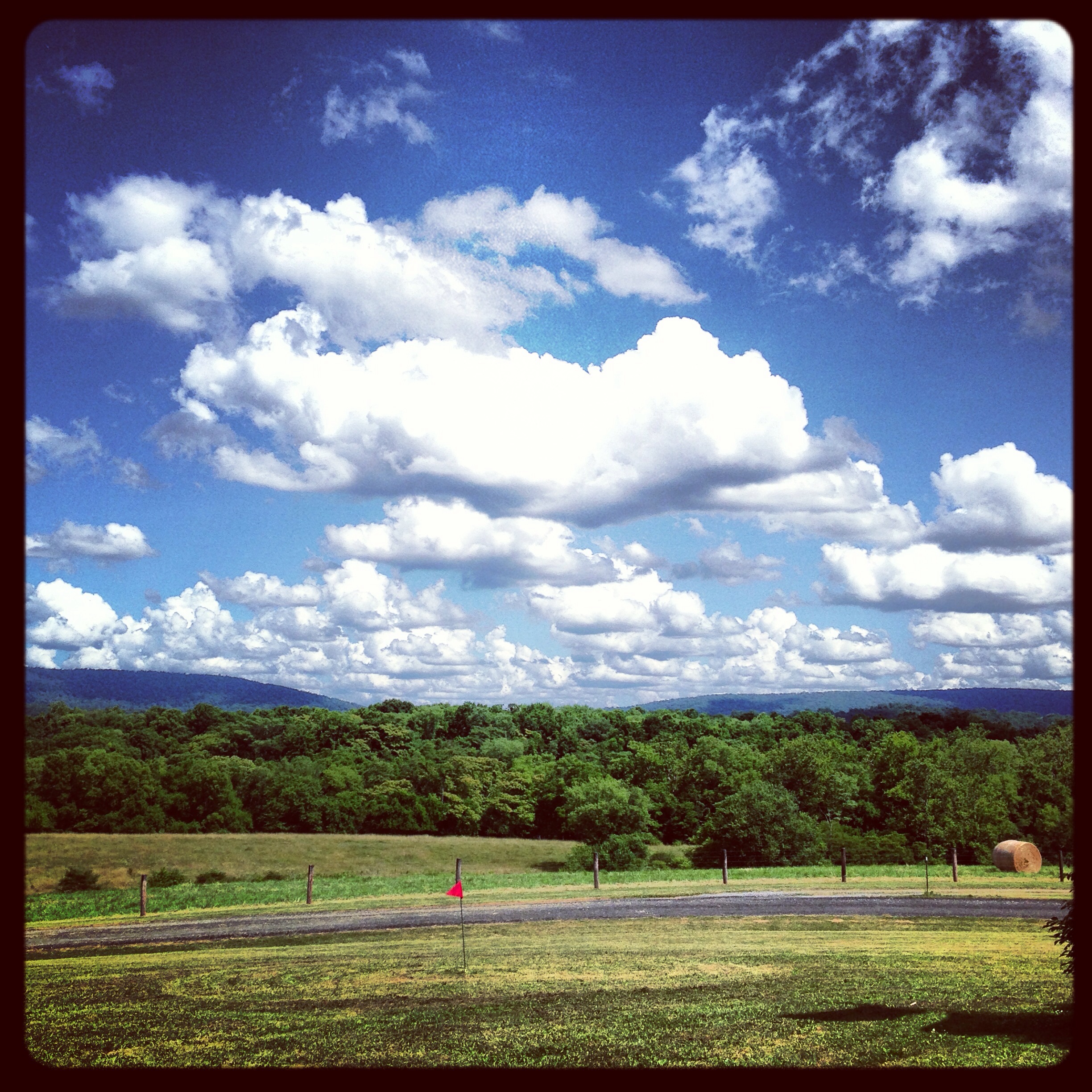
Agriculture is never far away
Beautiful day in Harpers Ferry!
Agriculture is never far away II
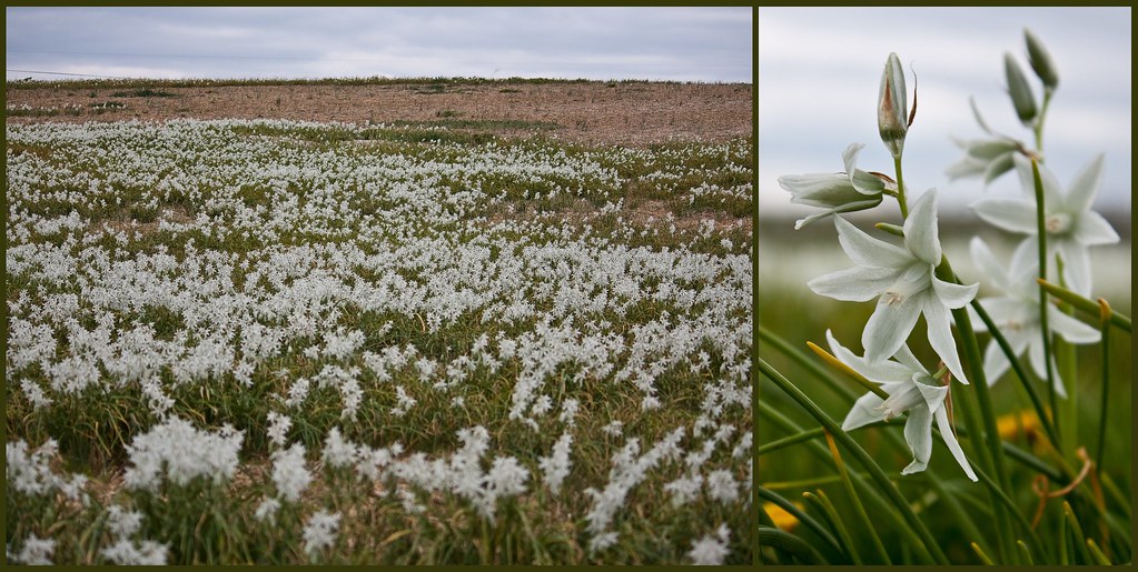
Antietam Flowers

Cornfield, Antietam, September 17, 1862

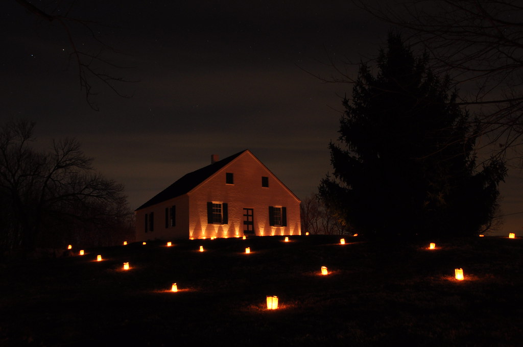
Burnside Bridge night photo, Antietam Battlefield Maryland
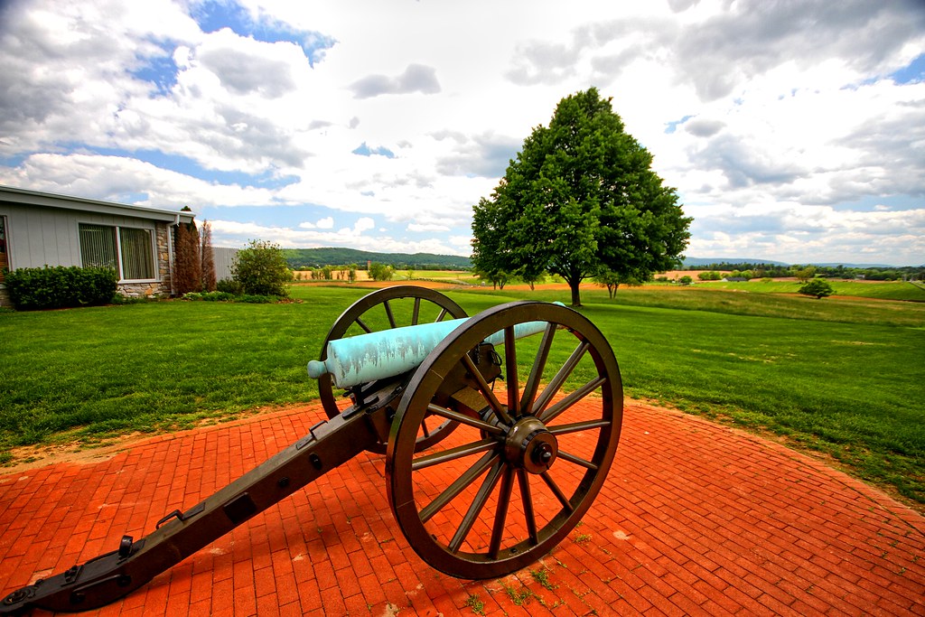
Brick and canon
Town Run at the Princess Street riverfront in Shepherdstown, WV

Antietam Battlefield - 2010-04-27 (107)
Topographic Map of Tuscarora, WV, USA
Find elevation by address:

Places in Tuscarora, WV, USA:
Places near Tuscarora, WV, USA:
WV-45, Martinsburg, WV, USA
3773 Shepherdstown Rd
2104 Files Cross Rd
1015 Lemir Dr
58 Thorton Hall Rd
403 Athletic St
Martinsburg
St Joseph's Roman Catholic
Adam Stephens
Martinsburg Fire Station 1
Kearneysville
312 Naomi Ln
636 Winchester Ave
1004 Lovelace Way
War Memorial Park
Kelly Island Rd, Martinsburg, WV, USA
Burger King
69 Kendig Ln
Interstate 81
Interstate 81
Recent Searches:
- Elevation of Corso Fratelli Cairoli, 35, Macerata MC, Italy
- Elevation of Tallevast Rd, Sarasota, FL, USA
- Elevation of 4th St E, Sonoma, CA, USA
- Elevation of Black Hollow Rd, Pennsdale, PA, USA
- Elevation of Oakland Ave, Williamsport, PA, USA
- Elevation of Pedrógão Grande, Portugal
- Elevation of Klee Dr, Martinsburg, WV, USA
- Elevation of Via Roma, Pieranica CR, Italy
- Elevation of Tavkvetili Mountain, Georgia
- Elevation of Hartfords Bluff Cir, Mt Pleasant, SC, USA