Elevation of Interstate 81, I-81, United States
Location: United States > West Virginia > Berkeley County > Norborne >
Longitude: -77.988204
Latitude: 39.4718754
Elevation: 155m / 509feet
Barometric Pressure: 99KPa
Elevation Map:
Satellite Map:
Related Photos:
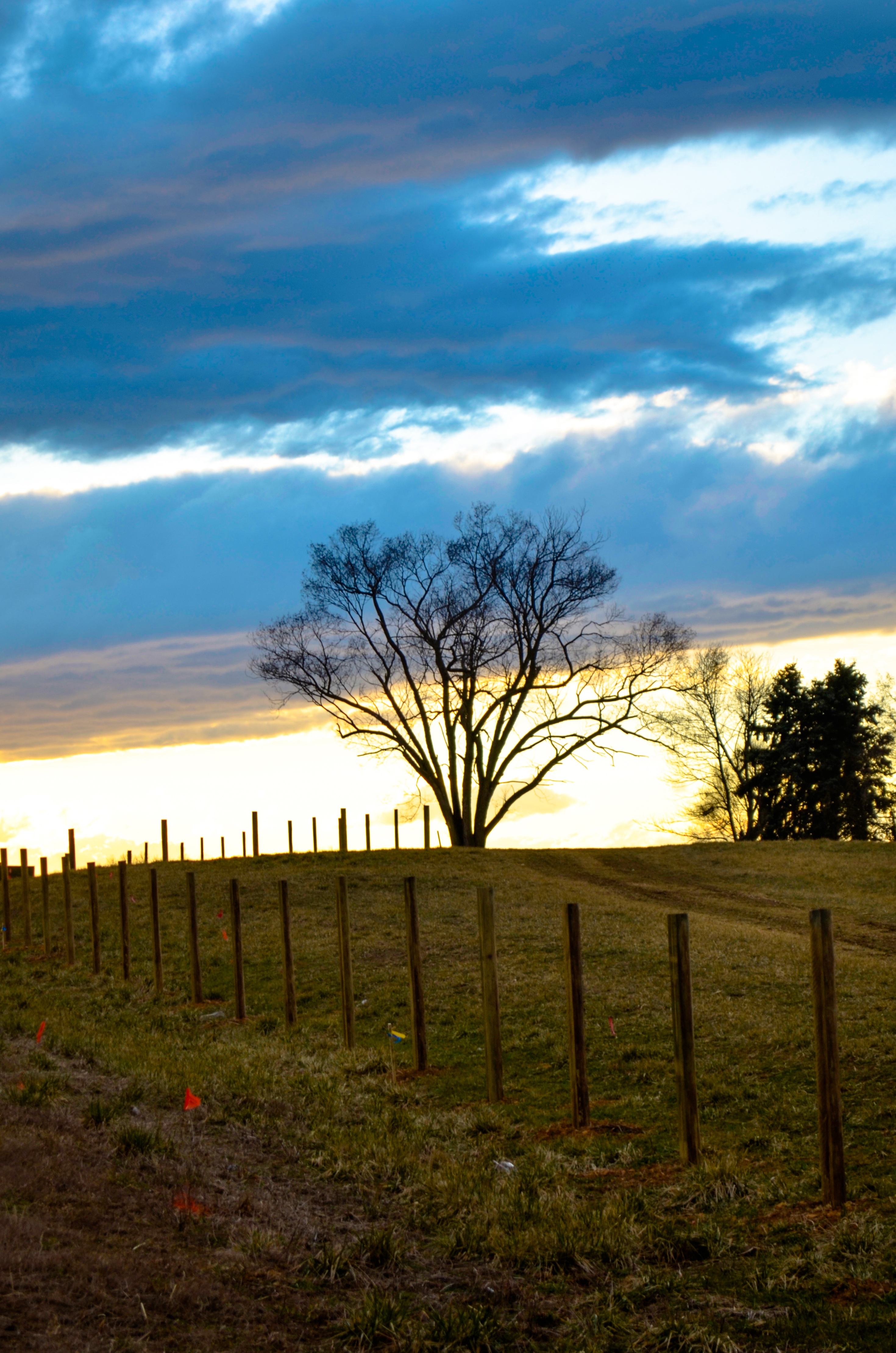
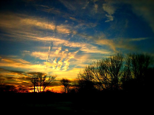
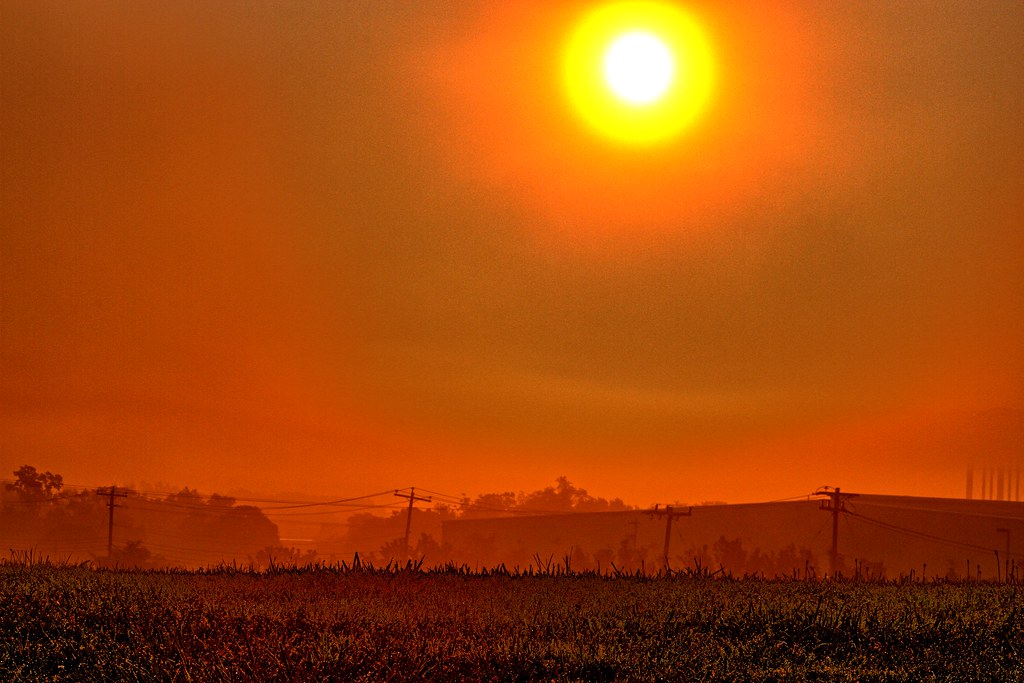
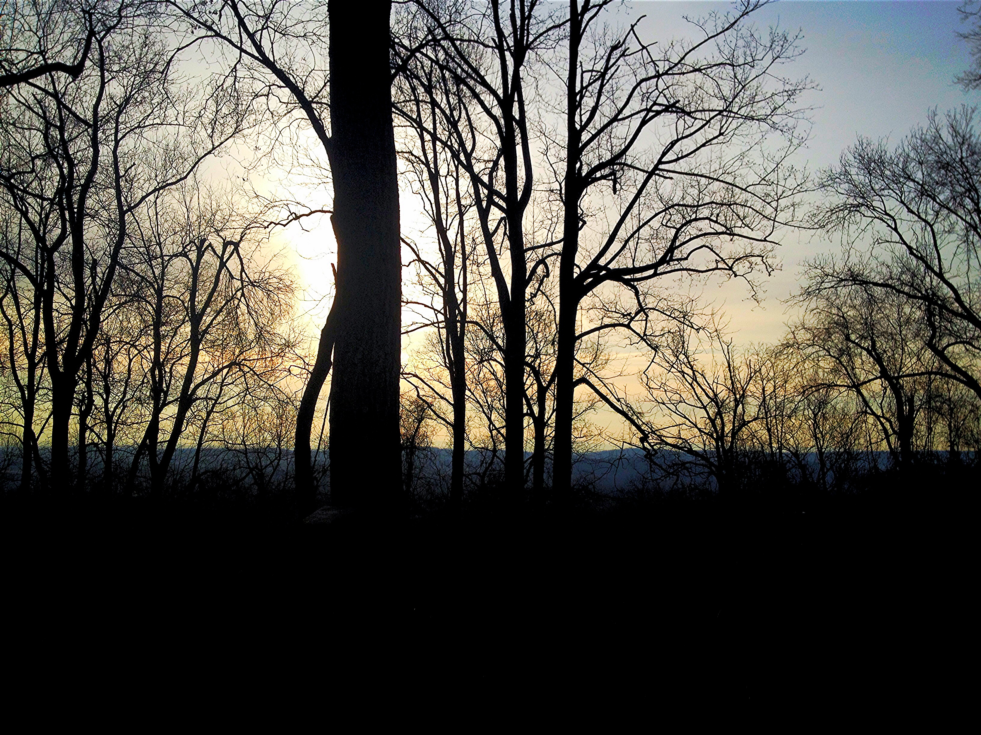
field-sunset
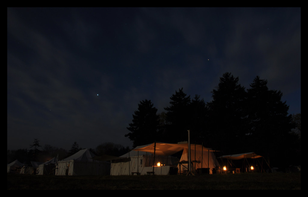
Candlelight Under the Stars
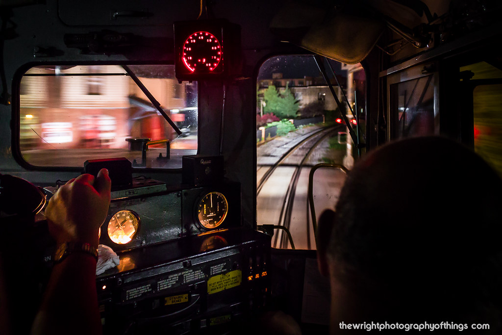
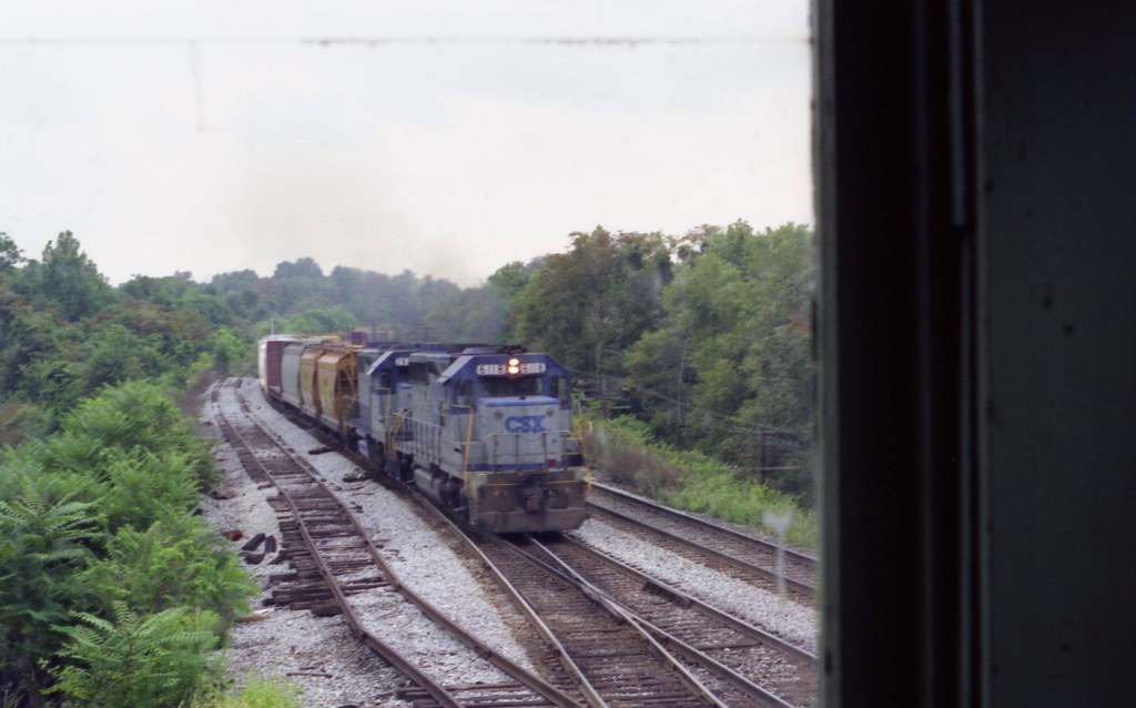
CAB VIEW
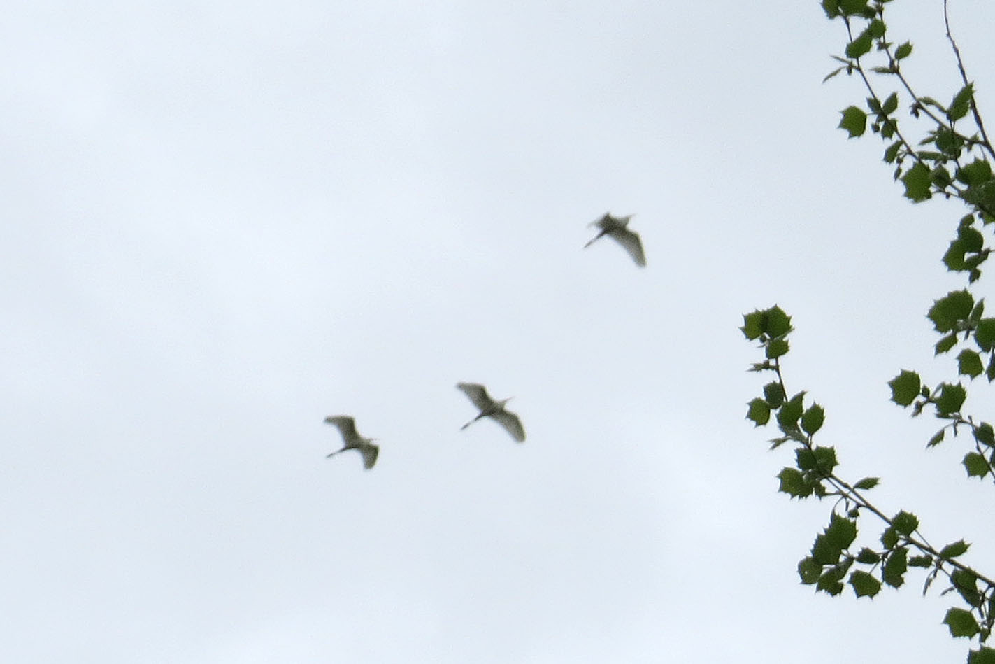
Great Egret
Welcome to the Neighborhood
Worked outside all day (gotta love WiFi) enjoying this view
Cubicle Sunset
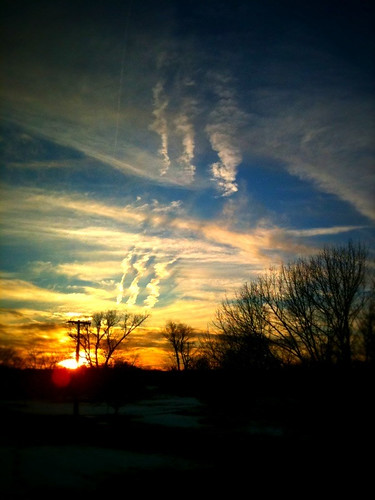
Cubicle Sunset
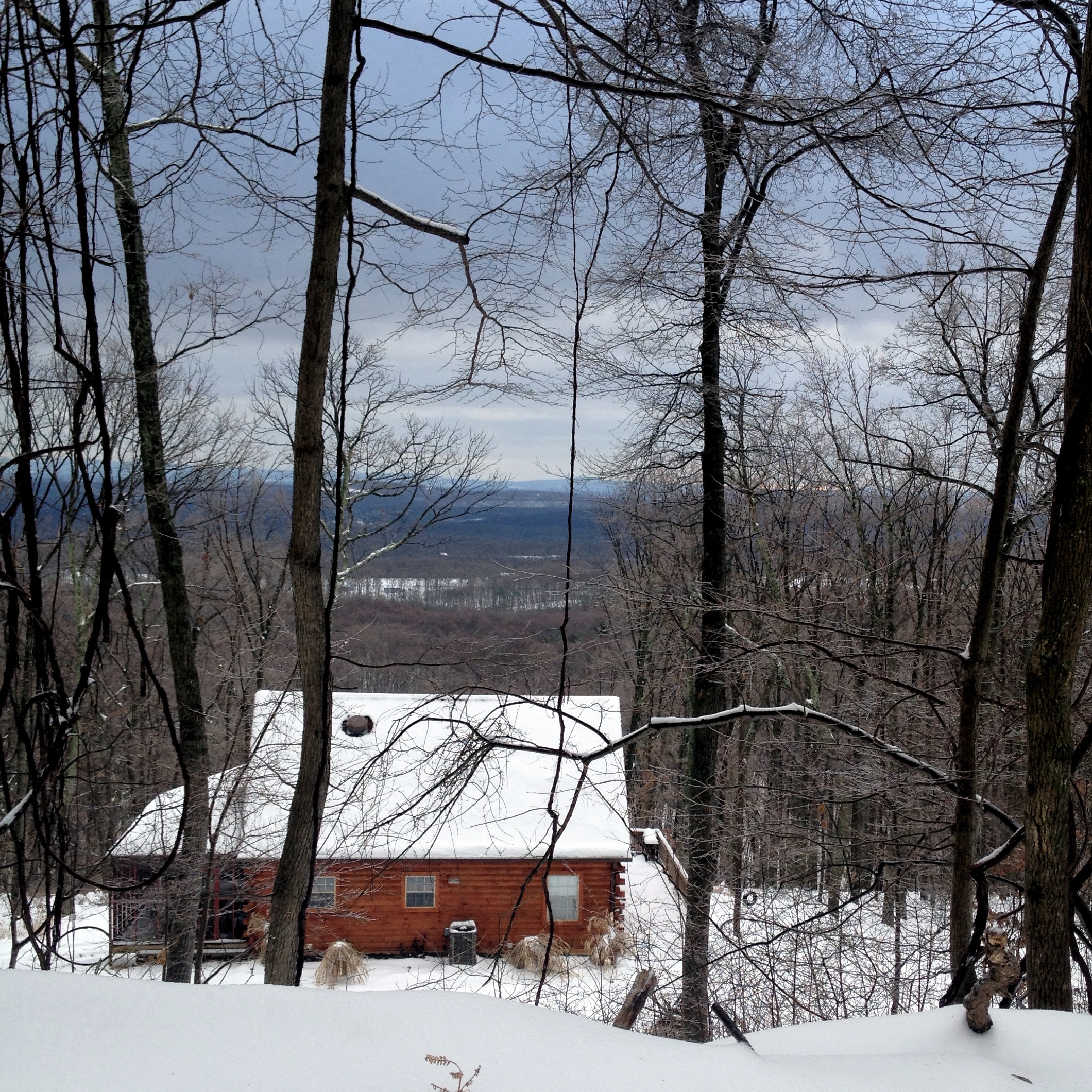
Snowy view
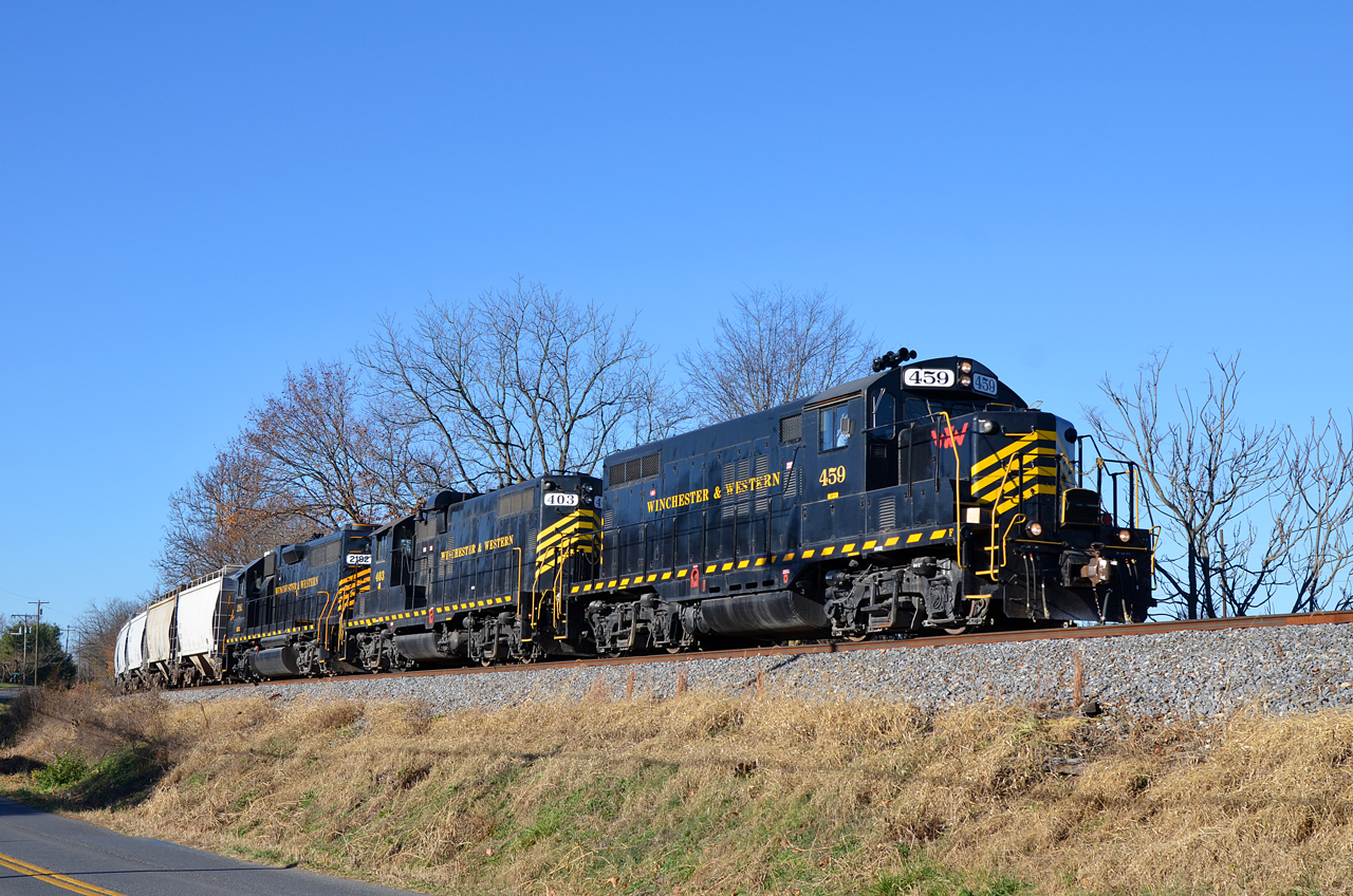
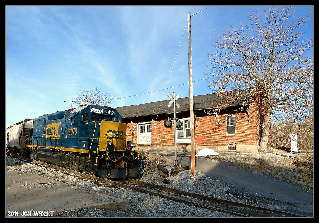
2015 11-23 0933 W&W GP9-459 N/B 86 at Berkeley, WV

Former Roy Rogers - Martinsburg, WV
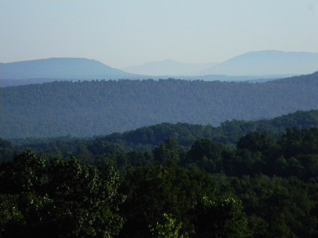
Valley View
Big Pool View
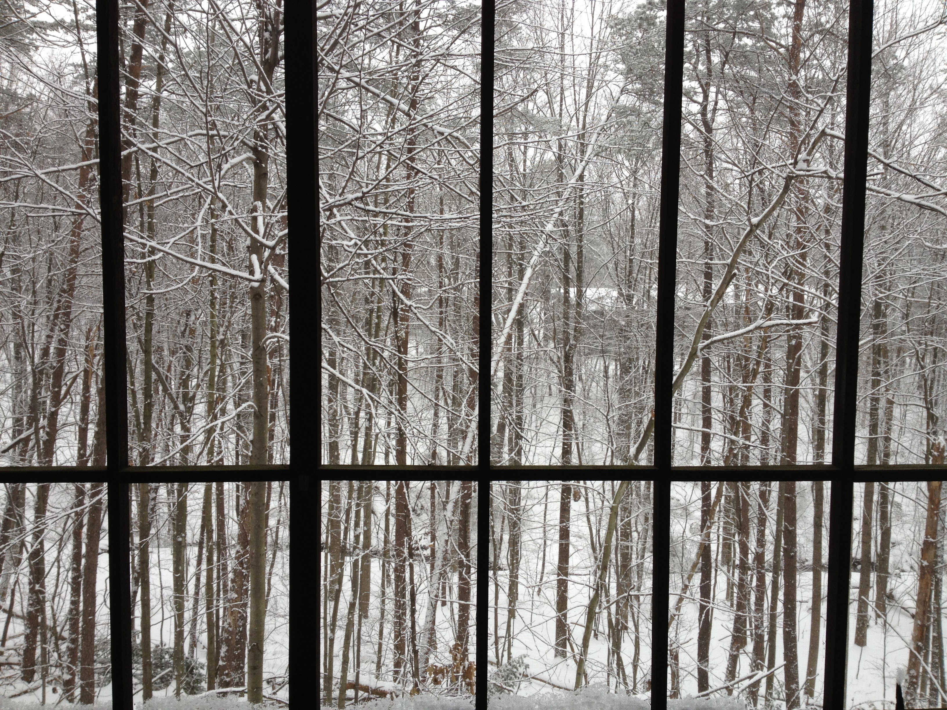
W Tower Window
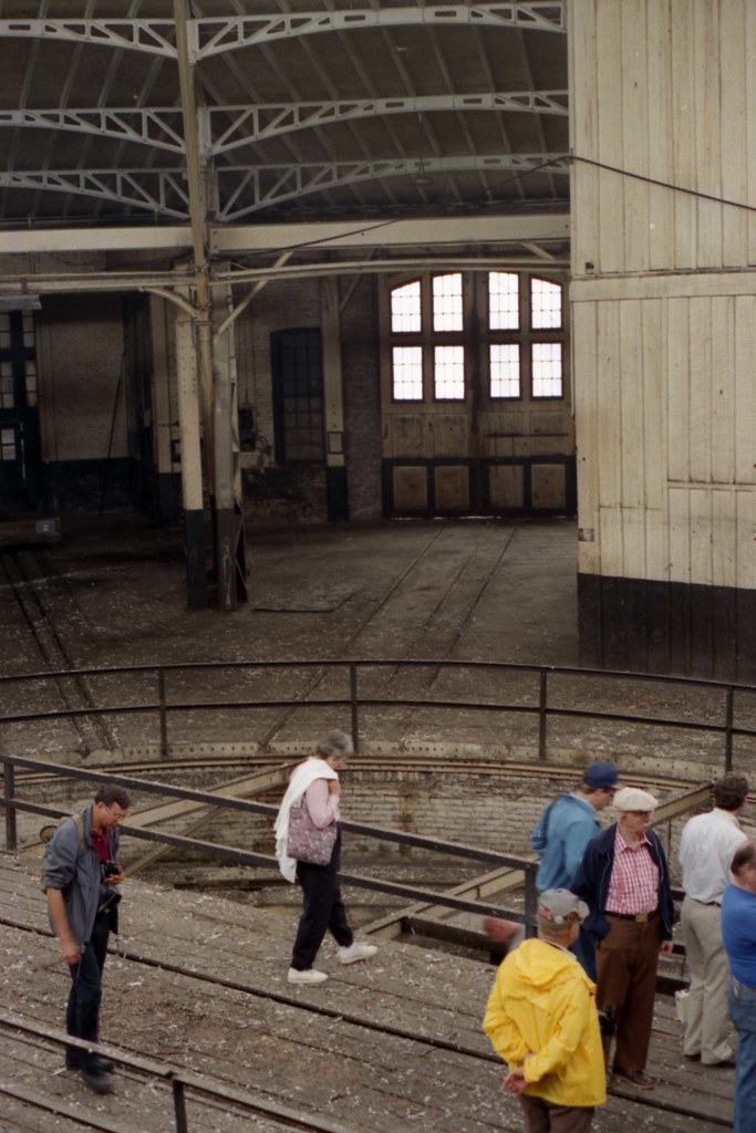
West Roundhouse Interior

Former Roy Rogers - Martinsburg, WV
Tricolor view
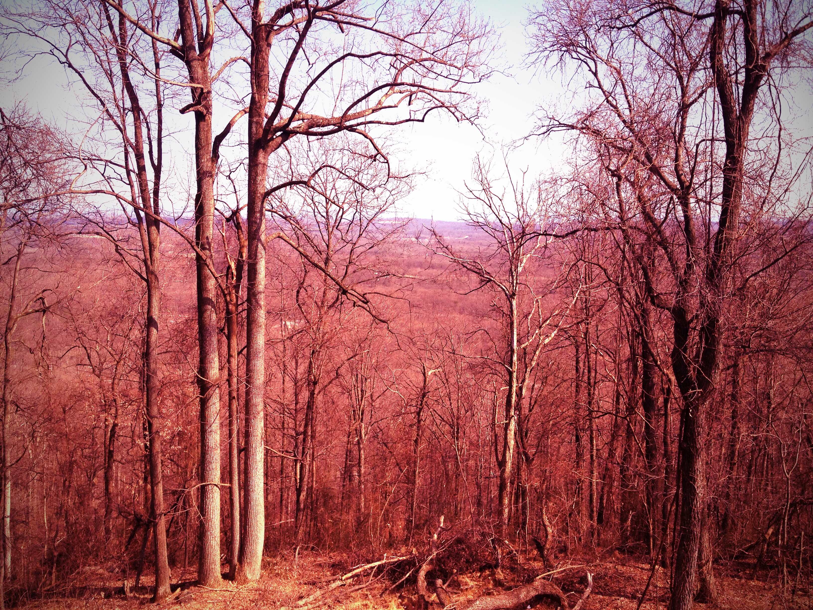
View from my office
Going Down?
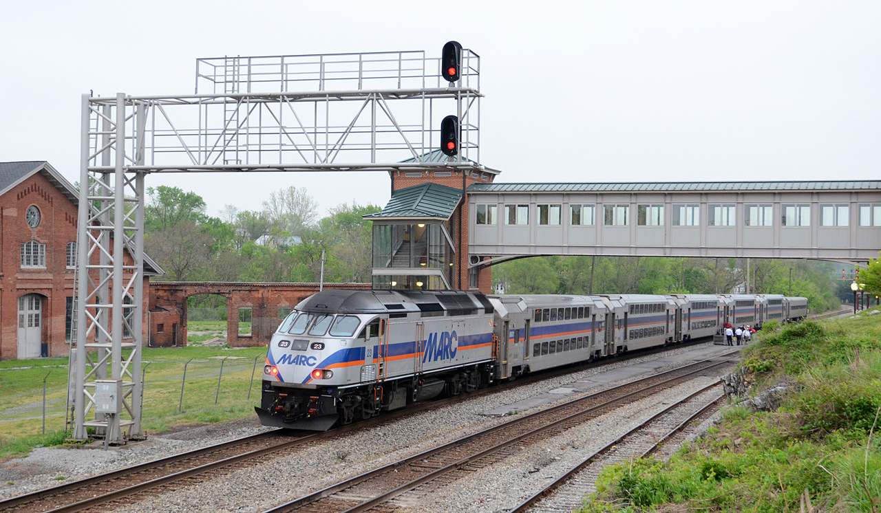
2016 04-27 6:46PM MARC MP36PH-3C-23 W/B 875 on CSX, Martinsburg, WV.
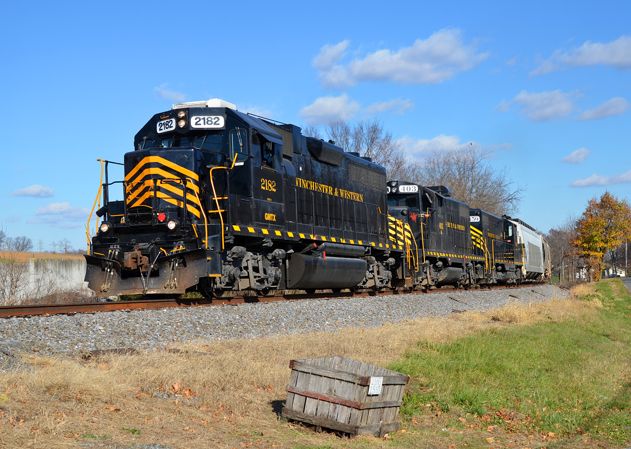
2015 11-23 1250.6 W&W GP38-2-2182 S/B 86 at Berkeley, WV
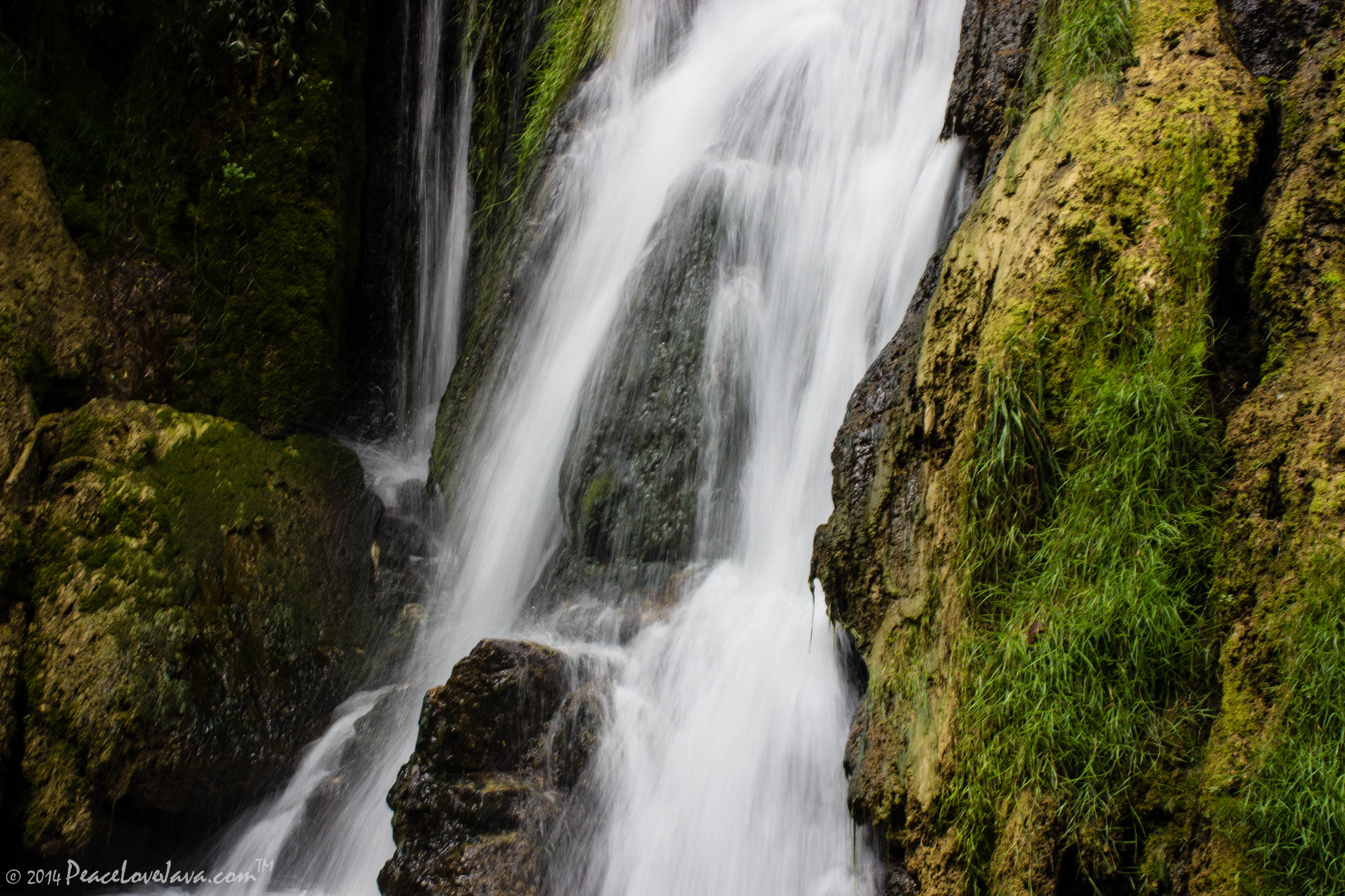
Falling Waters Falls Closeup

Falling Waters Falls

Fort Frederick State Park MD - 2014-08-16 (28)
Across the Great Valley the sun rises over South Mountain

Apples with tarps
This is why I like the...
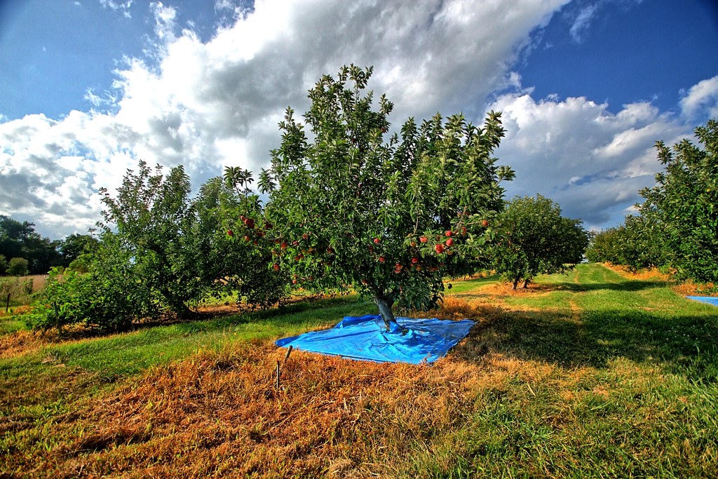
Apples with tarps in the attract-and-kill experiment
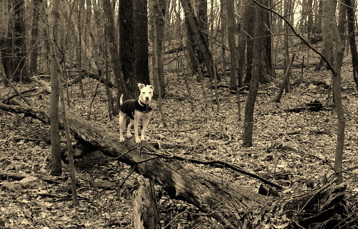
Poko shows off her new log walking skills
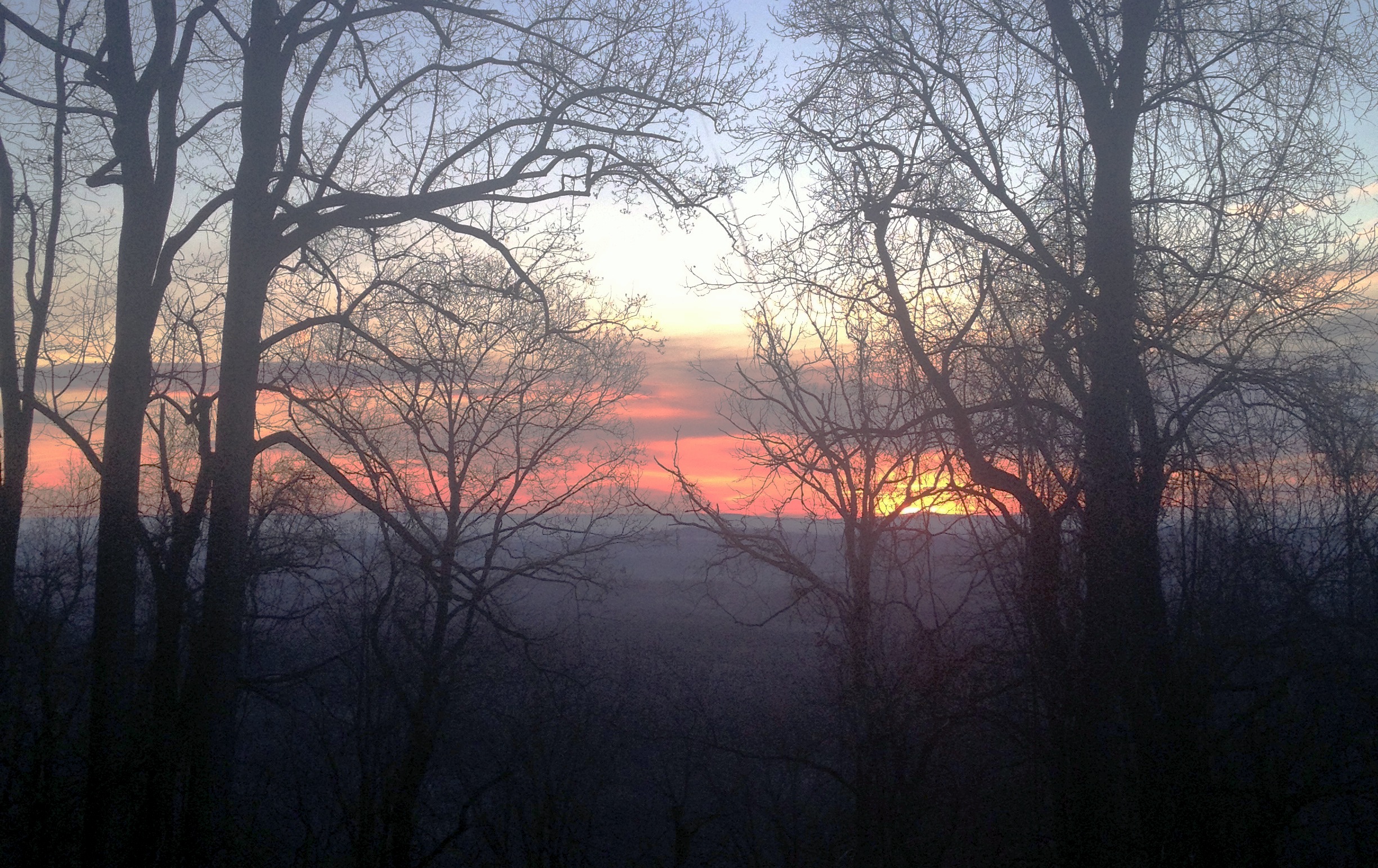
Morning sunrise

C&O Canal - 2012-10-16 (122) - Big Slackwater
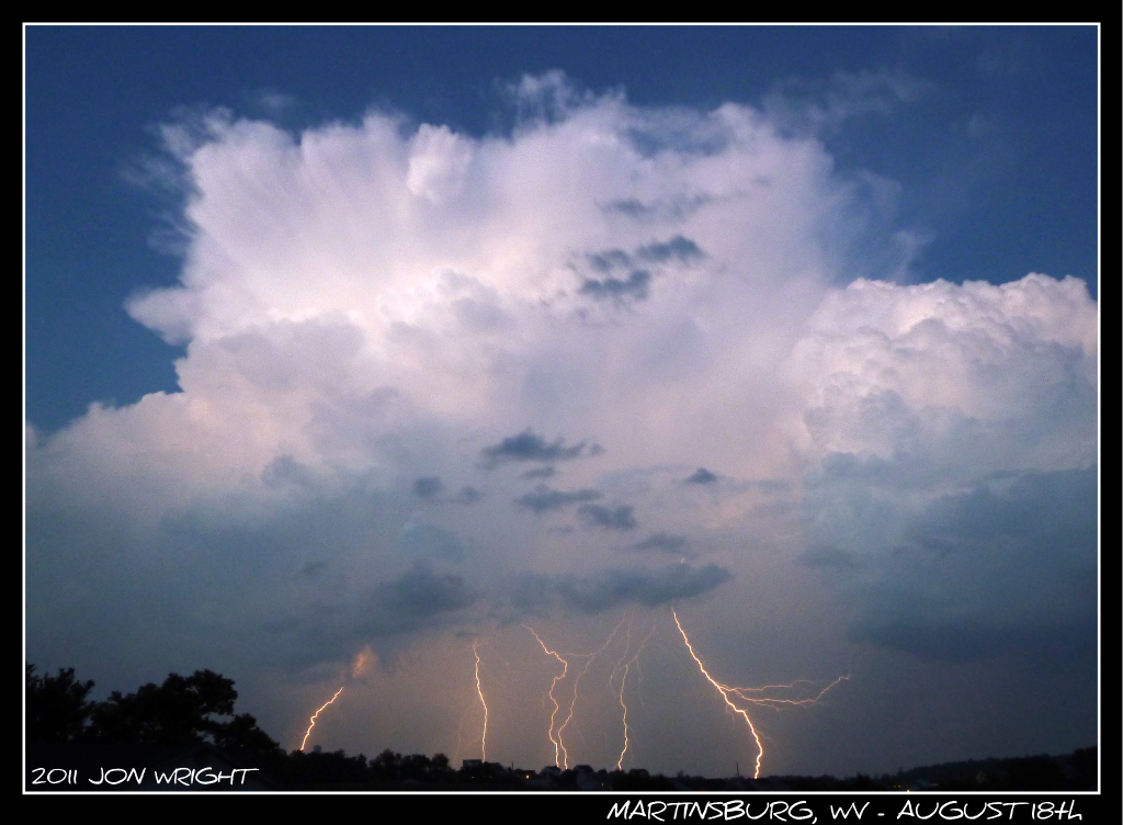
Anyone Need A Light?

Sunrise on the last day of harmonic radar sampling in 2014 III
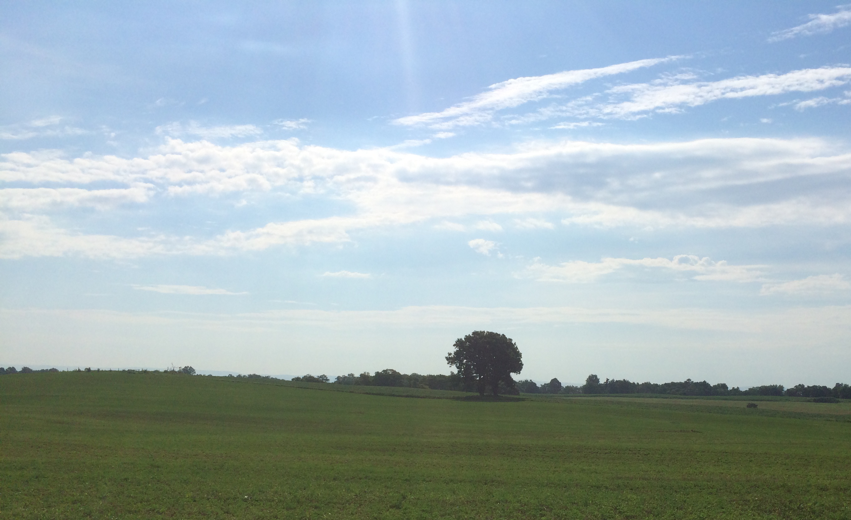
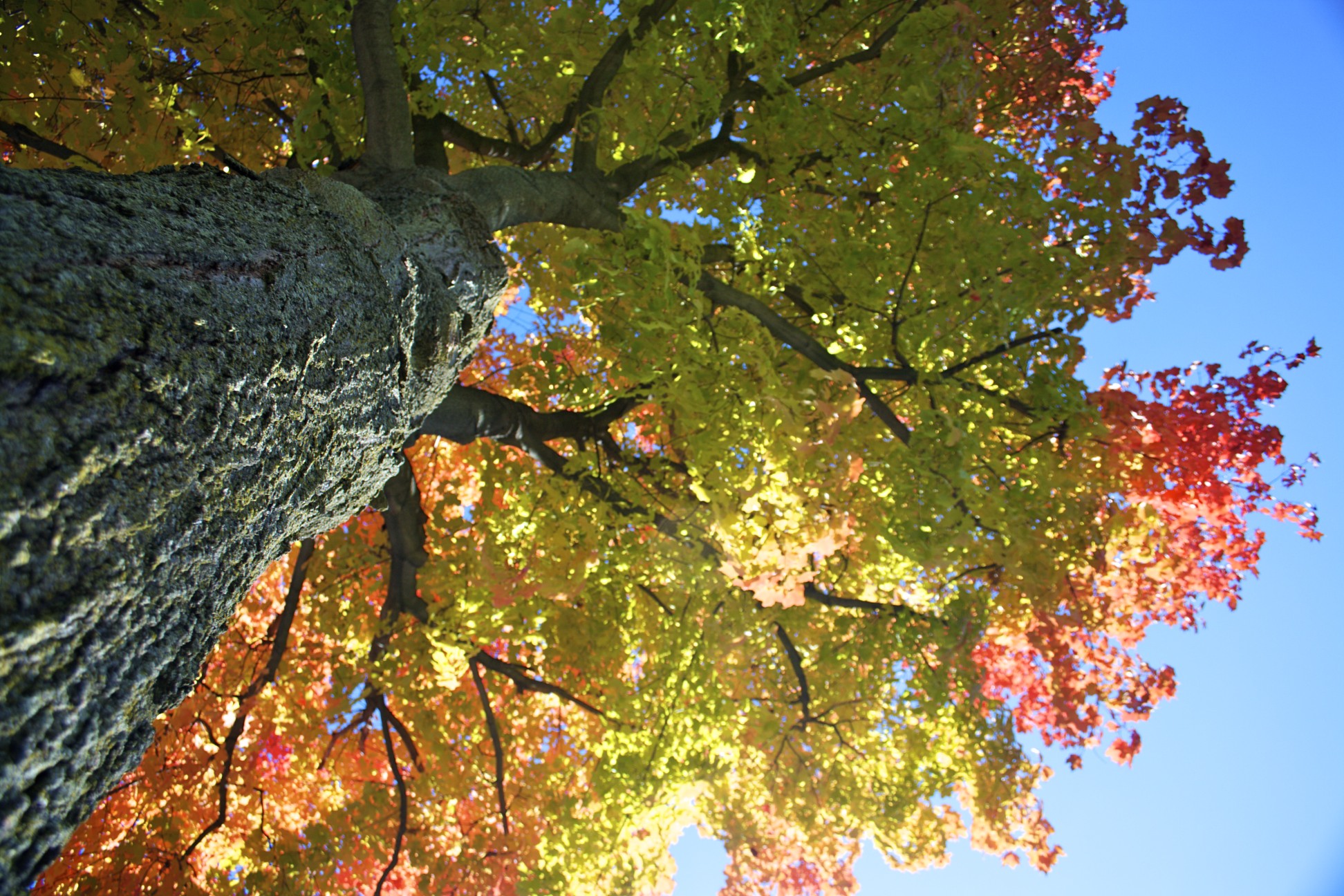
Fields and a tree
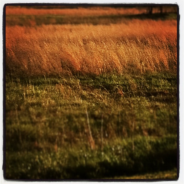
West Virginia weeds

C&O Canal - 2012-10-16 (69) - Big Slackwater
Potomac River at Big Slackwater

Potomac River West Virginia in autumn
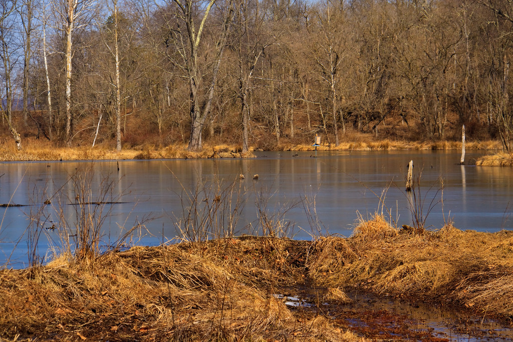
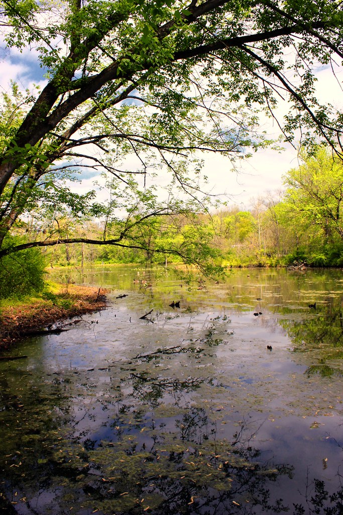
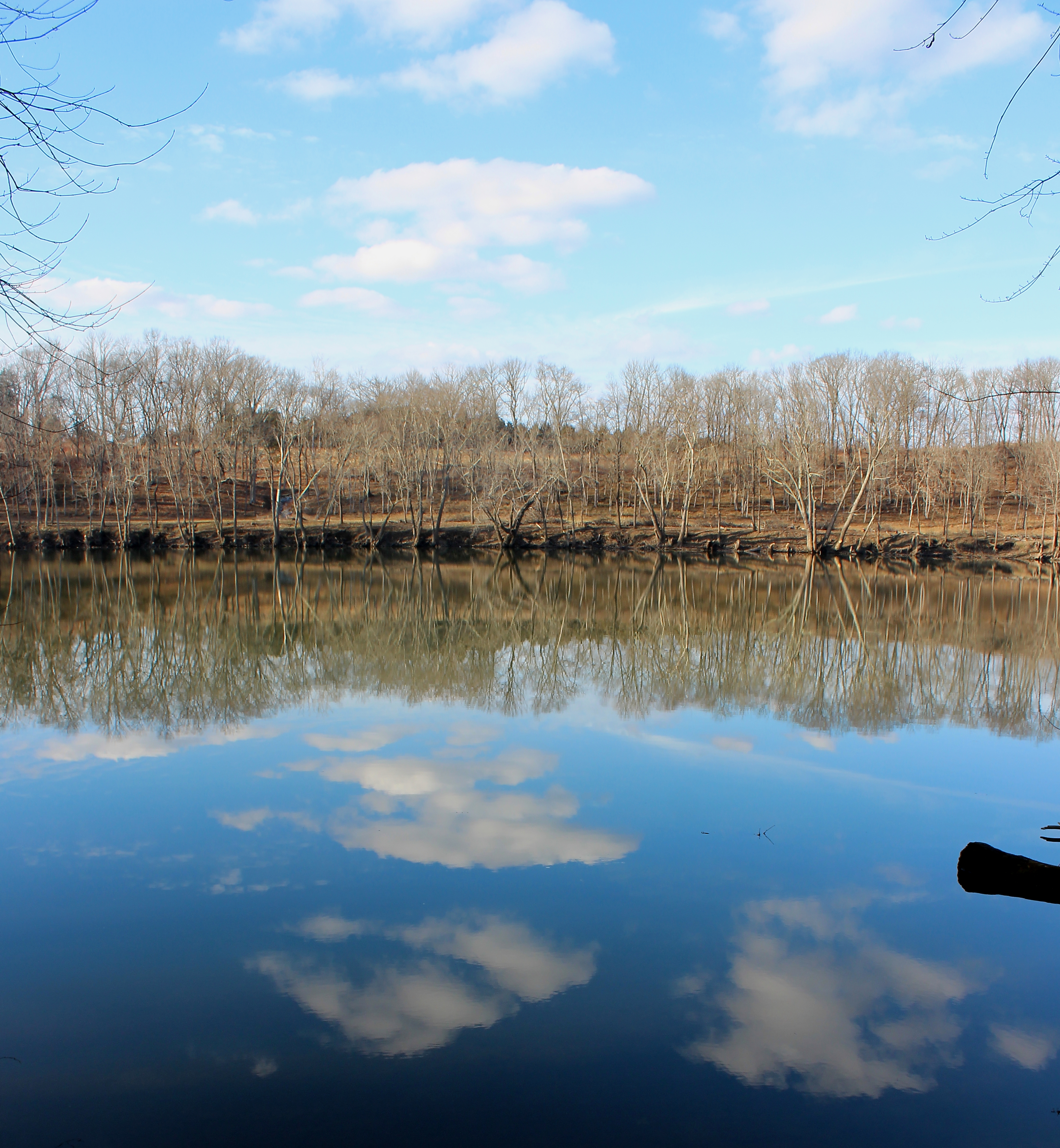
Beaver Dam and Pond
Topographic Map of Interstate 81, I-81, United States
Find elevation by address:

Places near Interstate 81, I-81, United States:
Interstate 81
Burger King
War Memorial Park
Dry Run Road
Shireoaks Drive
1004 Lovelace Way
Martinsburg Fire Station 1
636 Winchester Ave
Adam Stephens
St Joseph's Roman Catholic
Norborne
Martinsburg
301 Klee Dr
403 Athletic St
1015 Lemir Dr
358 Aldrin Ln
2942 Winchester Ave
Kelly Island Rd, Martinsburg, WV, USA
Hedgesville High School
Arden Nollville Rd, Martinsburg, WV, USA
Recent Searches:
- Elevation of Corso Fratelli Cairoli, 35, Macerata MC, Italy
- Elevation of Tallevast Rd, Sarasota, FL, USA
- Elevation of 4th St E, Sonoma, CA, USA
- Elevation of Black Hollow Rd, Pennsdale, PA, USA
- Elevation of Oakland Ave, Williamsport, PA, USA
- Elevation of Pedrógão Grande, Portugal
- Elevation of Klee Dr, Martinsburg, WV, USA
- Elevation of Via Roma, Pieranica CR, Italy
- Elevation of Tavkvetili Mountain, Georgia
- Elevation of Hartfords Bluff Cir, Mt Pleasant, SC, USA