Elevation of Shepherdstown Rd, Martinsburg, WV, USA
Location: United States > West Virginia > Berkeley County > Tuscarora >
Longitude: -77.890016
Latitude: 39.455246
Elevation: 148m / 486feet
Barometric Pressure: 100KPa
Elevation Map:
Satellite Map:
Related Photos:

CAB VIEW

2015 11-23 0933 W&W GP9-459 N/B 86 at Berkeley, WV

Fence Sitting Snow

Martinsburg Roundhouse

Burnside Bridge

Sharpersburg, Maryland, USA

2019 03-24 1736-1 NS-LV ES44AC-8104 N/B 214 Ranson, WV

field-sunset

Confederate Flag at Benders Tavern, Sharpersburg, Maryland, USA

2019 03-24 1737-1 NS-LV ES44AC-8104 N/B 214 Ranson, WV

2016 04-27 1:48PM CSX SD70MAC-4770 E/B Q-401, Martinsburg, WV.

Former Martinsburg Mall

Berkeley County Courthouse (corner view) - Martinsburg, WV

2016 04-27 6:46PM MARC MP36PH-3C-23 W/B 875 on CSX, Martinsburg, WV.

Berkeley County Courthouse - Martinsburg, WV

Lock 38 on the C&O Canal

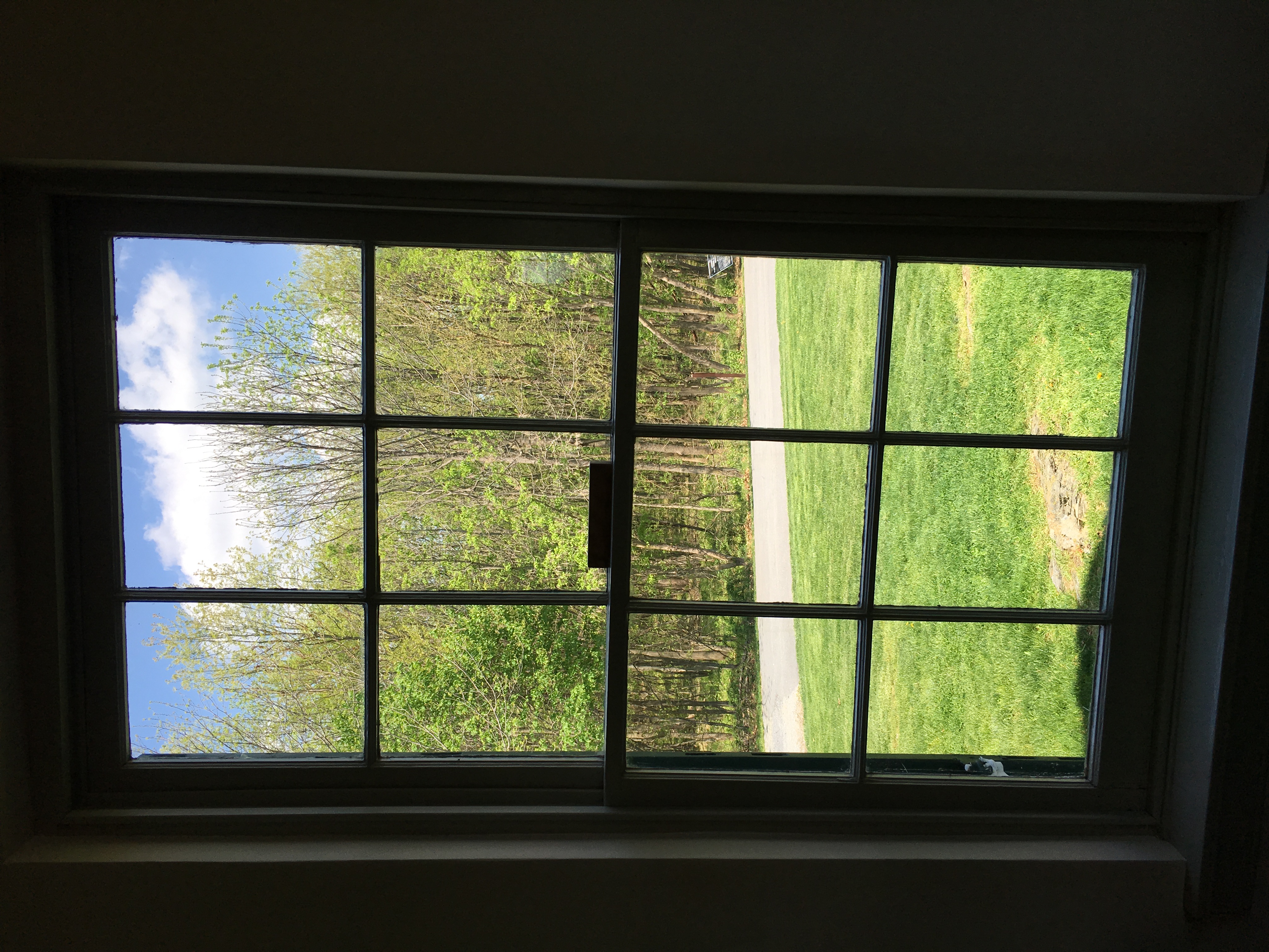
Looking Out The Church Window.
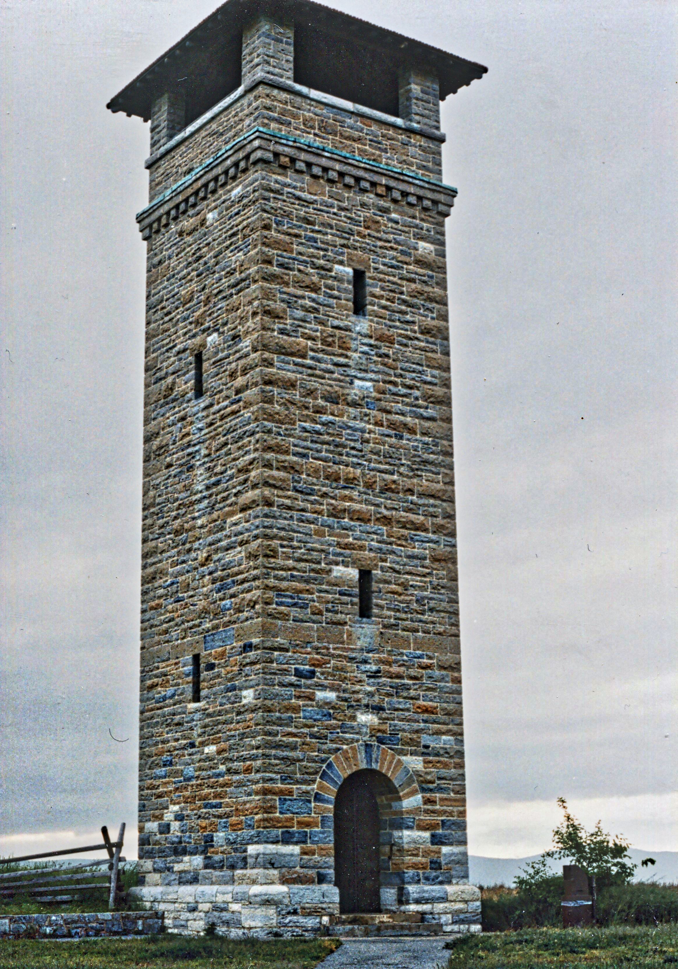
Antietam Maryland ~ Antietam Battlefield Observation Tower ~ HIstory American Civil War

Piper Fence Post
Antietam NB ~ view from Dunker Church

The Slaughter Pen

F FOR FRESH

B&O ROUNDHOUSE COMPLEX

RURAL SCENE

The Electrical Grid II

Falling Waters Falls Closeup

NS 836 in Sharpsburg
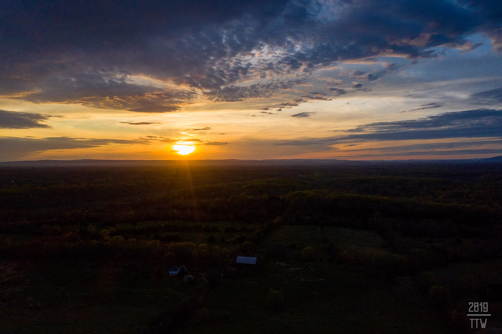
Sunset Near Sharpsburg

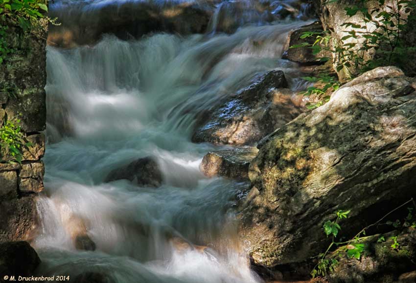
Falling Waters Falls

Anyone Need A Light?

Antietam Battlefield
Upstream view of Town Run, Shepherdstown, West Virginia

Ridgewood Farm-Virginia, USA

D.R. Miller Farm, Antietam National Battlefield, Sharpsburg, Maryland

Poko shows off her new log walking skills

Antietam National Battlefield

Sherrick Farm

view from the James Rumsey (Sheperdstown Pike) Bridge

Fall in Maryland

The New Day Brings its Shining Sun

Twelve-Pound Napoleon Complex
Topographic Map of Shepherdstown Rd, Martinsburg, WV, USA
Find elevation by address:

Places near Shepherdstown Rd, Martinsburg, WV, USA:
2104 Files Cross Rd
WV-45, Martinsburg, WV, USA
Tuscarora
58 Thorton Hall Rd
1015 Lemir Dr
403 Athletic St
Kearneysville
Martinsburg
St Joseph's Roman Catholic
Adam Stephens
Martinsburg Fire Station 1
312 Naomi Ln
69 Kendig Ln
300 W German St
636 Winchester Ave
1004 Lovelace Way
Shepherdstown Elementary School
Shepherdstown
380 N Princess St
308 N Princess St
Recent Searches:
- Elevation of Corso Fratelli Cairoli, 35, Macerata MC, Italy
- Elevation of Tallevast Rd, Sarasota, FL, USA
- Elevation of 4th St E, Sonoma, CA, USA
- Elevation of Black Hollow Rd, Pennsdale, PA, USA
- Elevation of Oakland Ave, Williamsport, PA, USA
- Elevation of Pedrógão Grande, Portugal
- Elevation of Klee Dr, Martinsburg, WV, USA
- Elevation of Via Roma, Pieranica CR, Italy
- Elevation of Tavkvetili Mountain, Georgia
- Elevation of Hartfords Bluff Cir, Mt Pleasant, SC, USA