Elevation of Mullan, ID, USA
Location: United States > Idaho > Shoshone County >
Longitude: -115.80182
Latitude: 47.4702078
Elevation: 999m / 3278feet
Barometric Pressure: 90KPa
Elevation Map:
Satellite Map:
Related Photos:
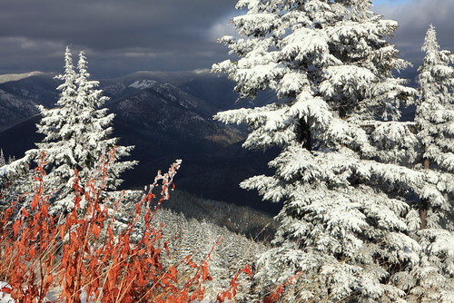
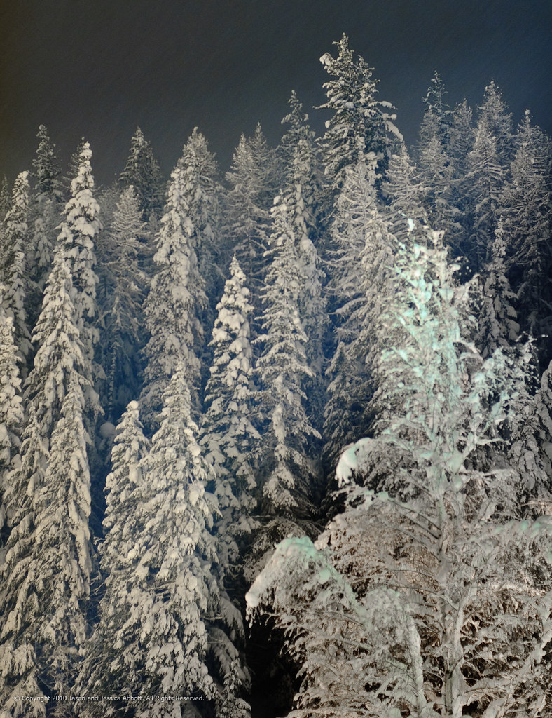
Winter's Comin'
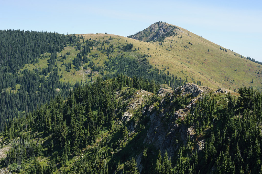
Stevens Peak
PenskeTwo-193.jpg
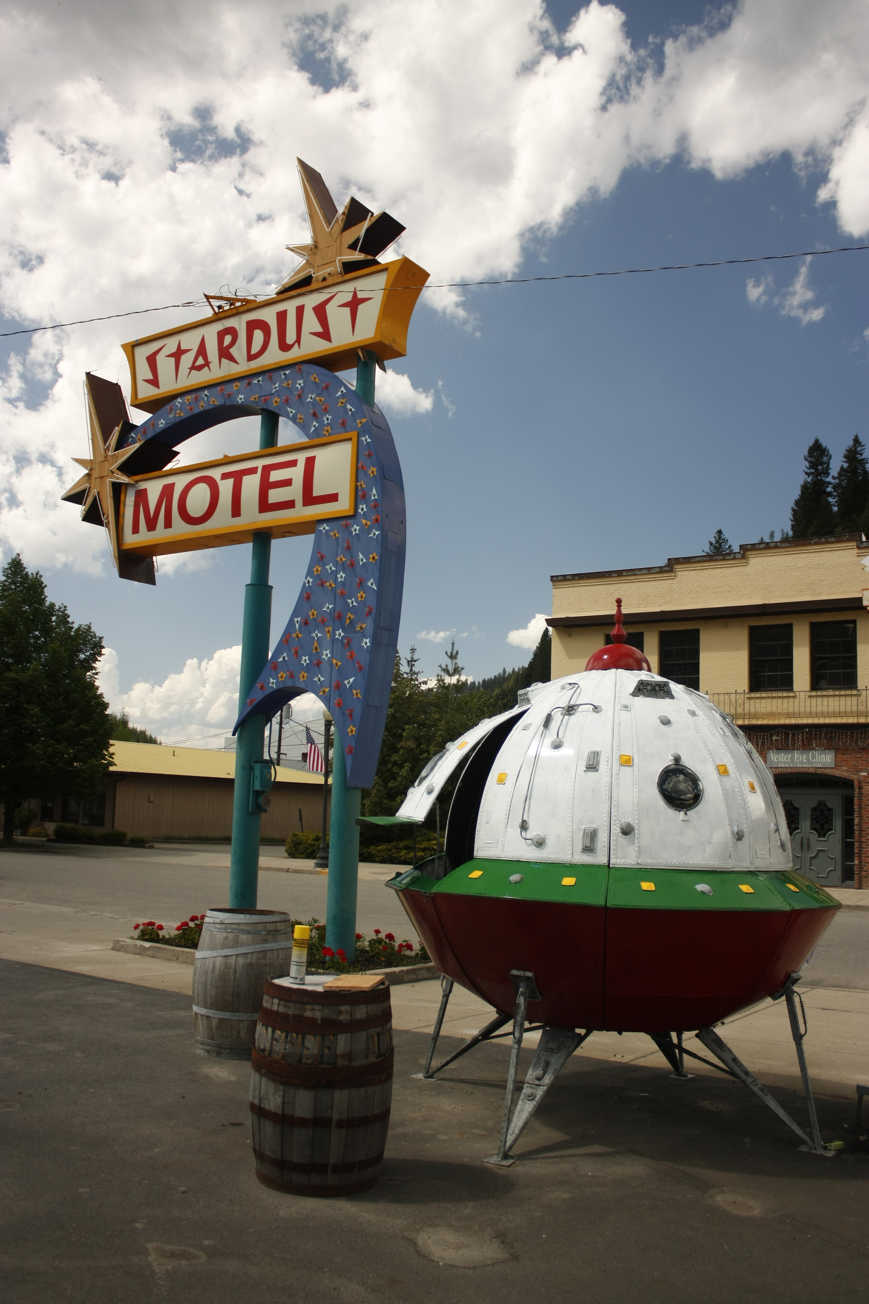
The Starlight Motel
PenskeTwo-186.jpg
Hotel Room View
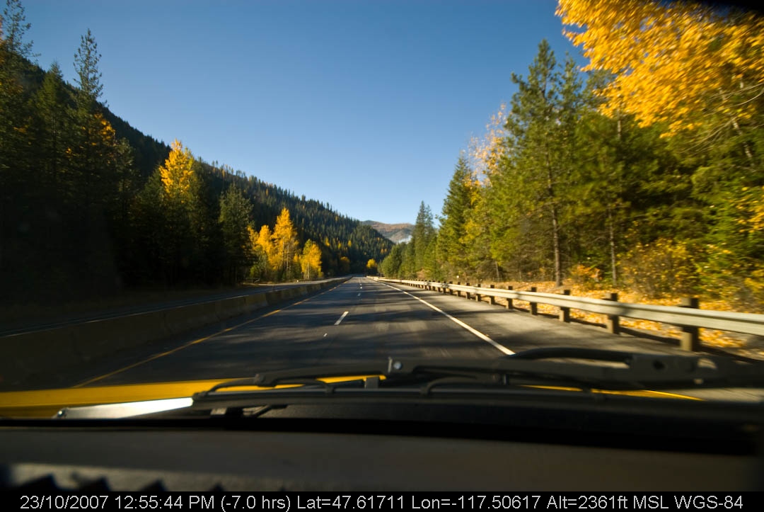
Looking into Montana

PenskeTwo-203.jpg
PenskeTwo-197.jpg

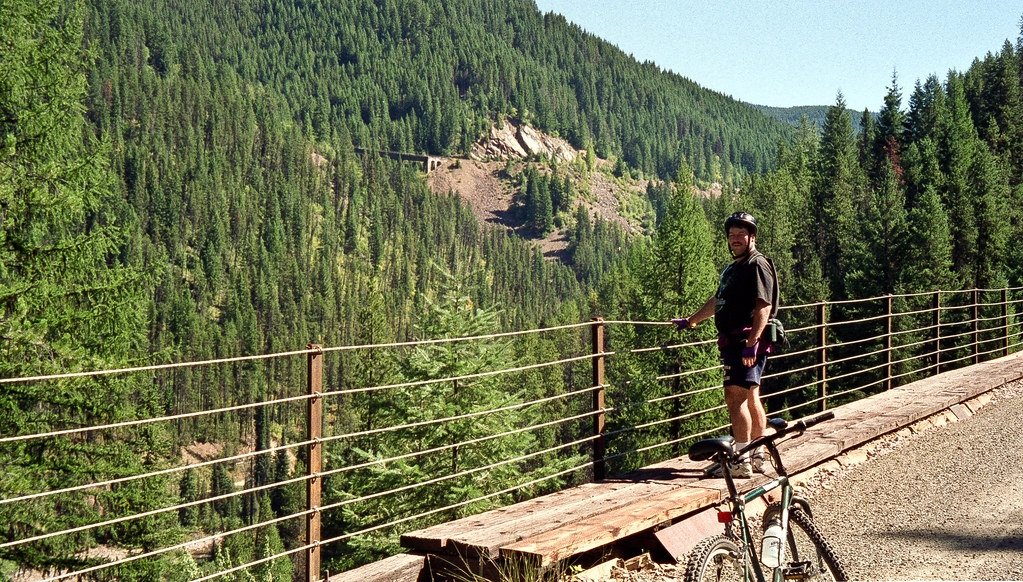
The View
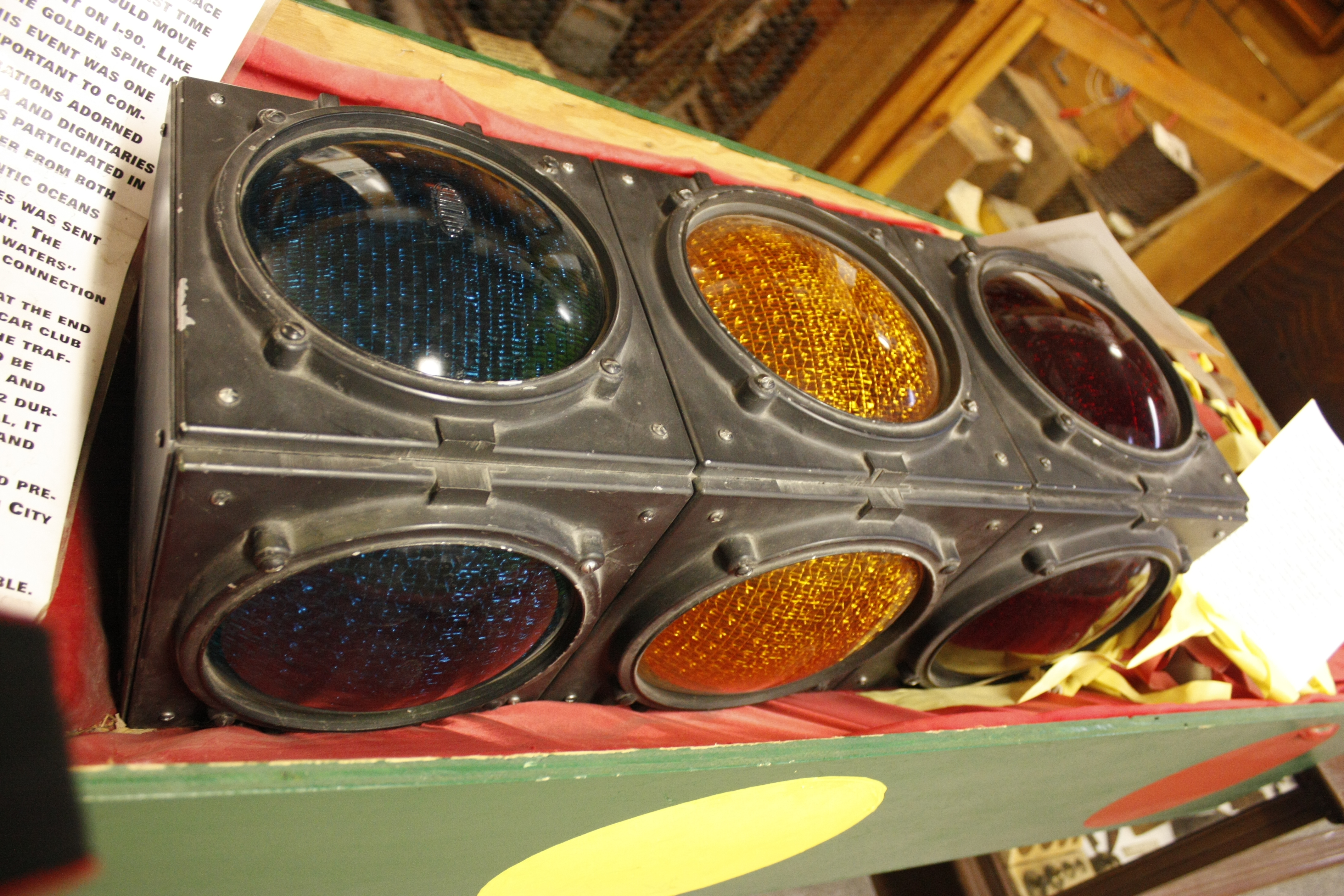
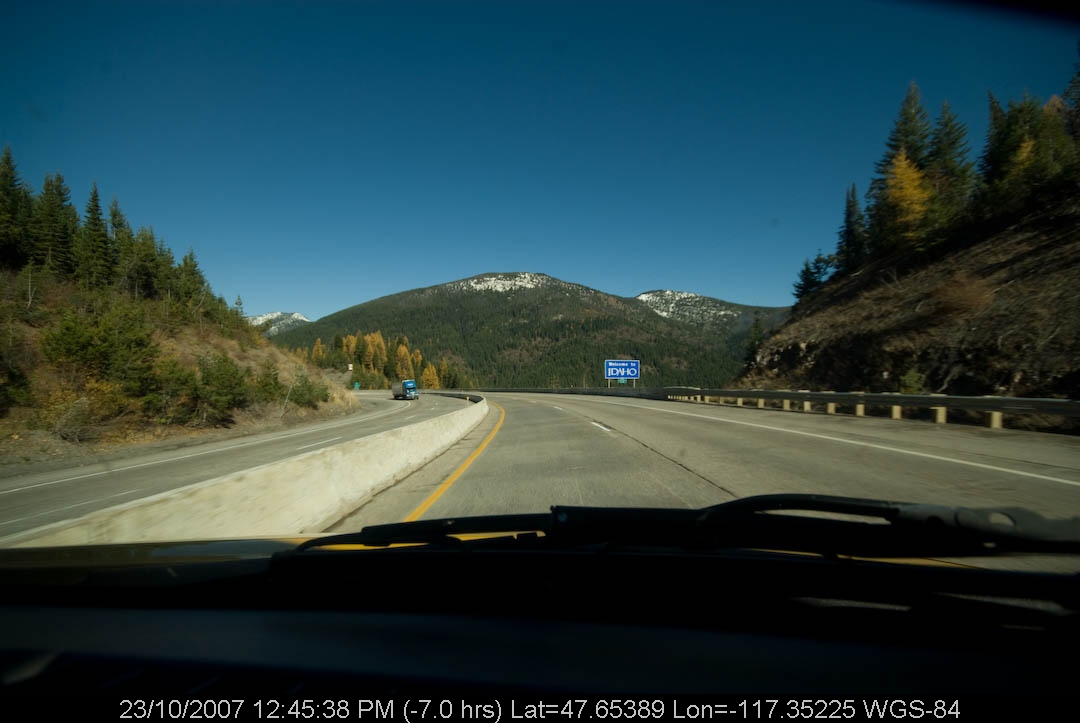
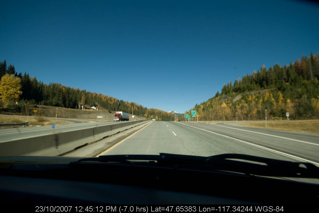
The last stoplight on I-90
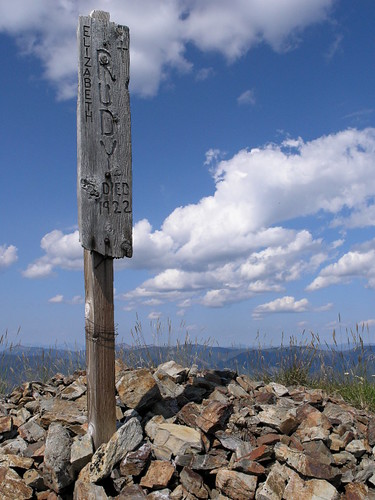
Memorial Marker
PenskeTwo-201.jpg

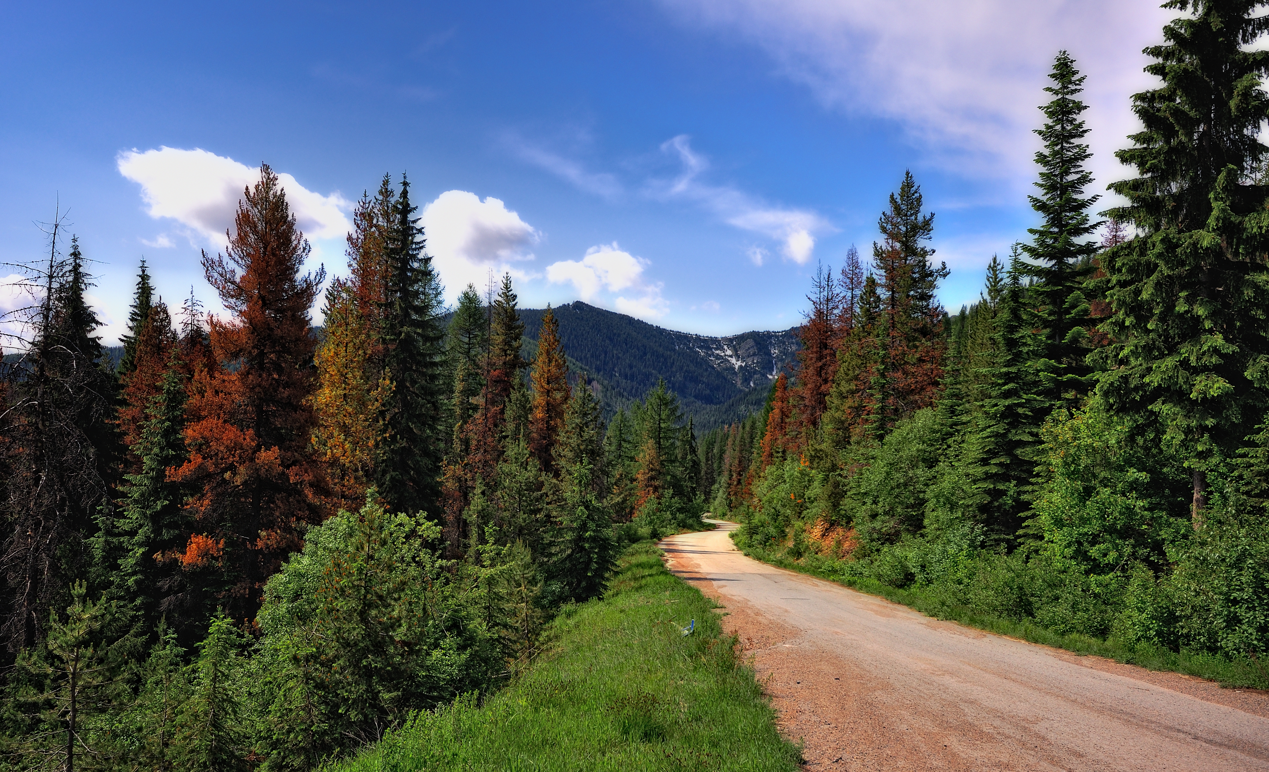
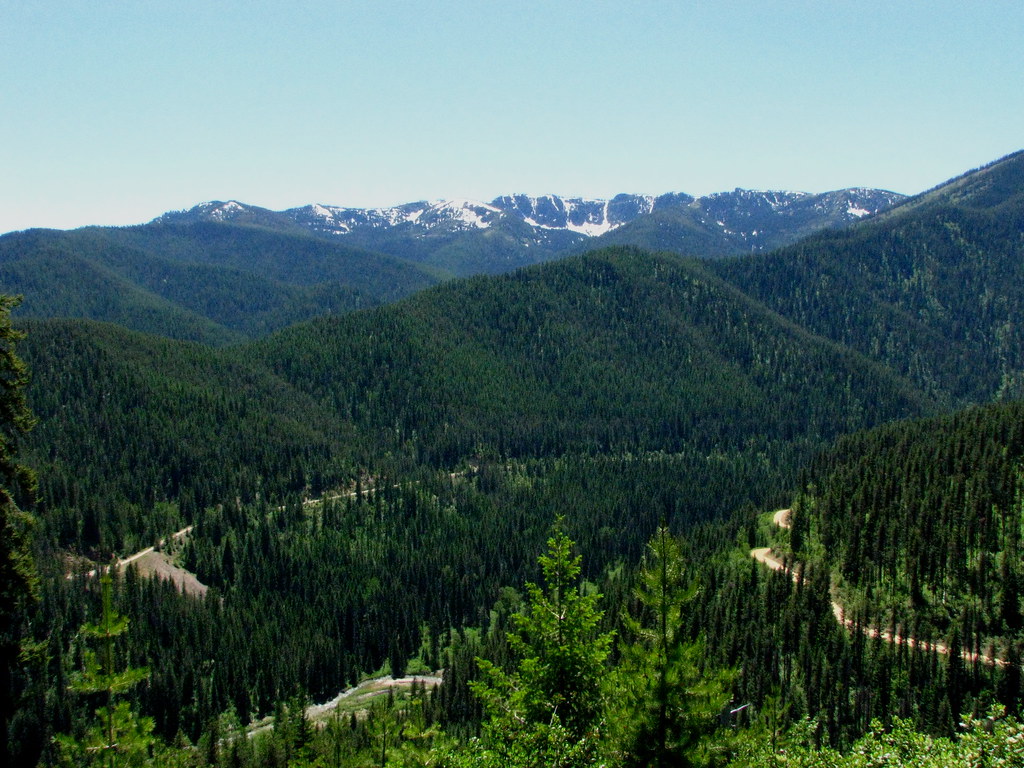
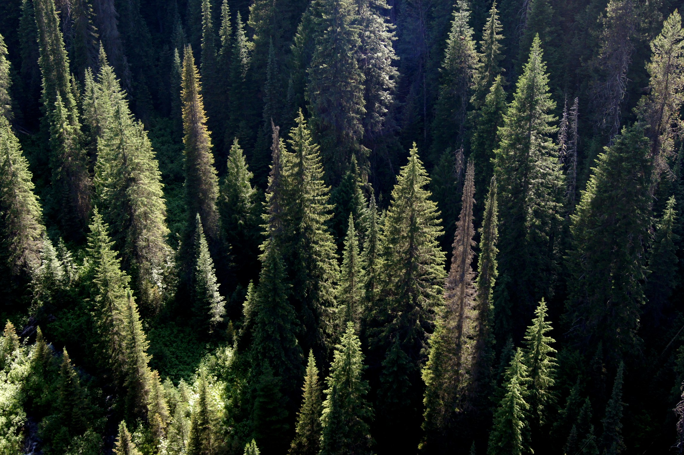
St. Joe National Forest, Idaho
PenskeTwo-188.jpg
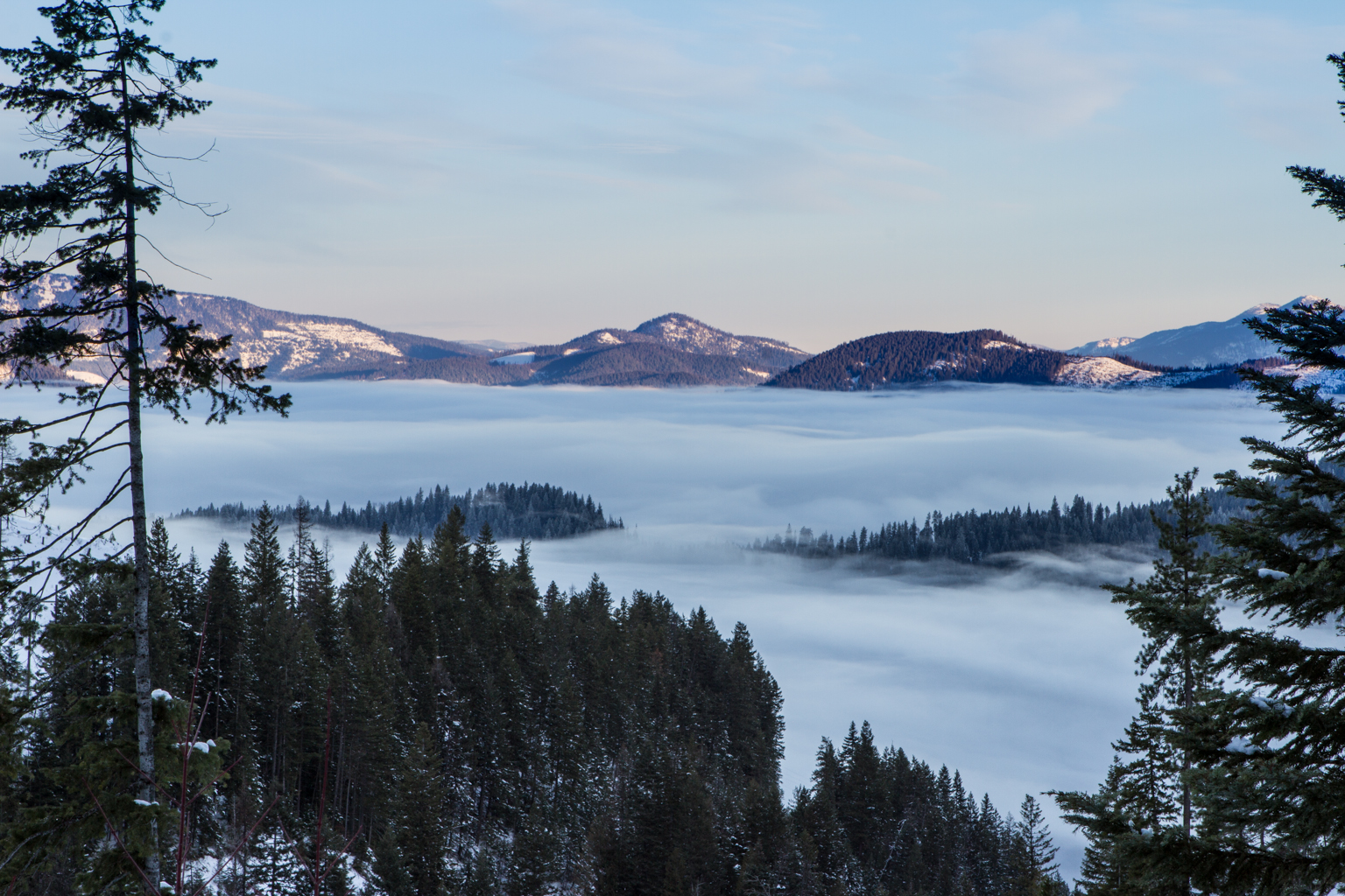
Foggy Valley near Wallace, Idaho
La View
PenskeTwo-181.jpg
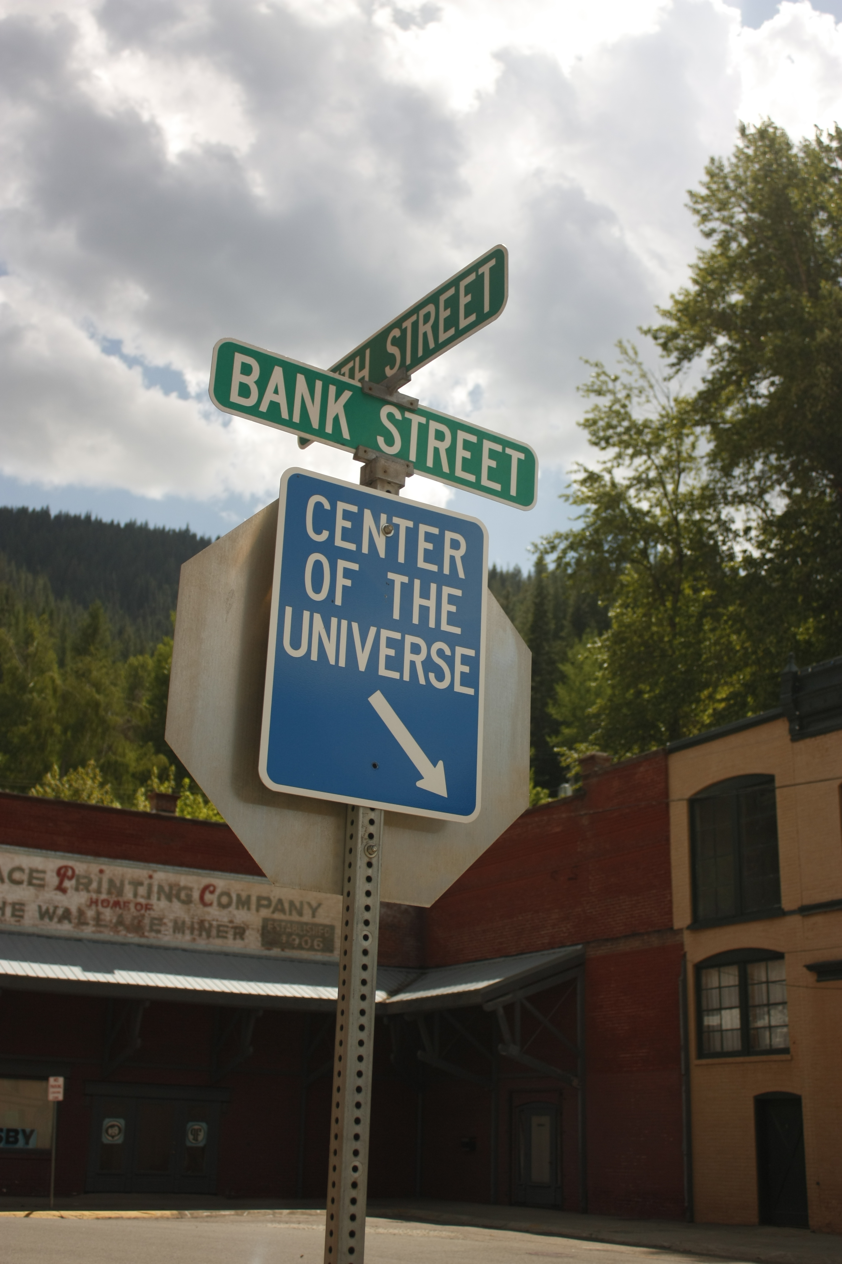
The Center of the Universe
Scan-110525-0016
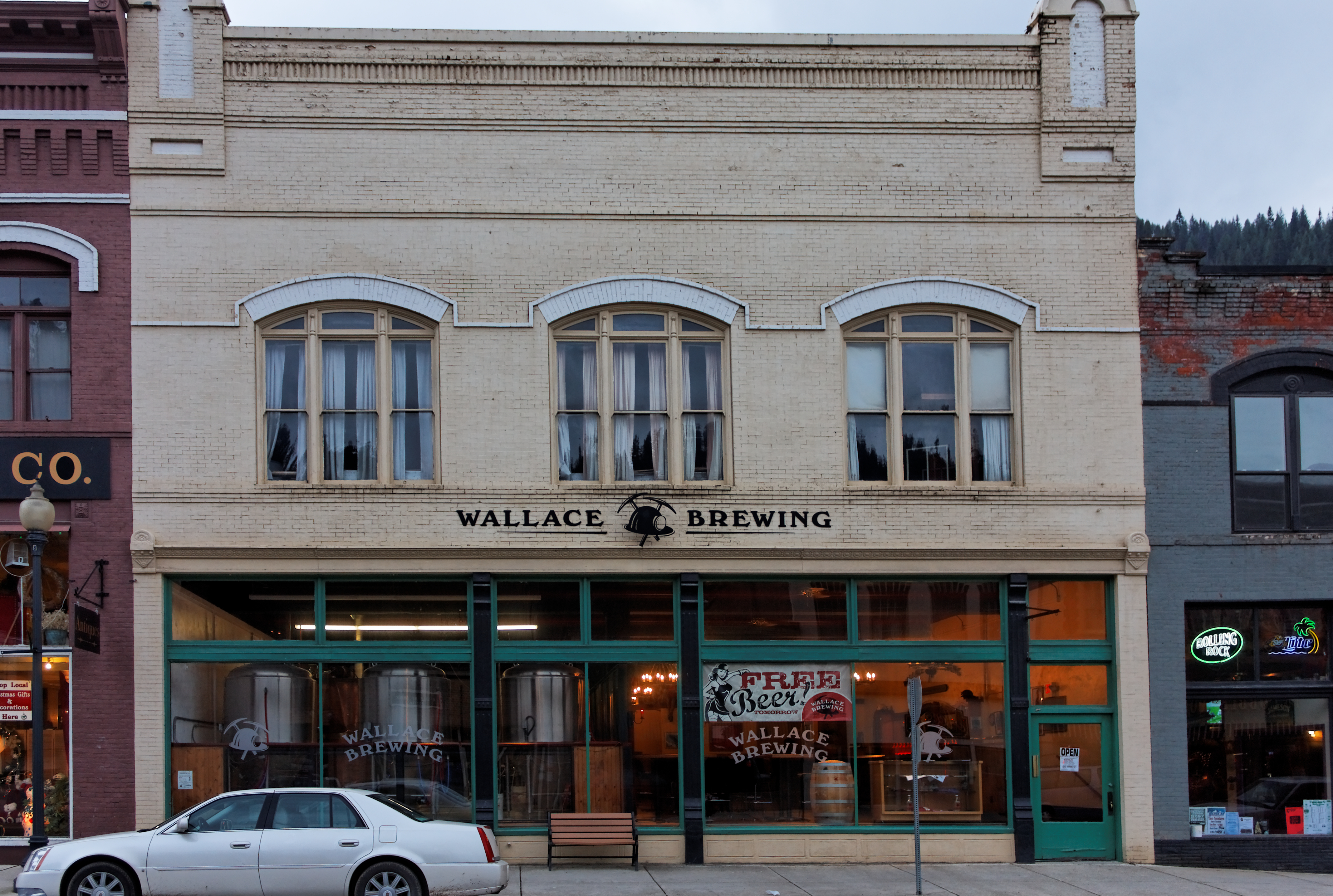
Front View of Wallace Brewing Company
Scan-110525-0011
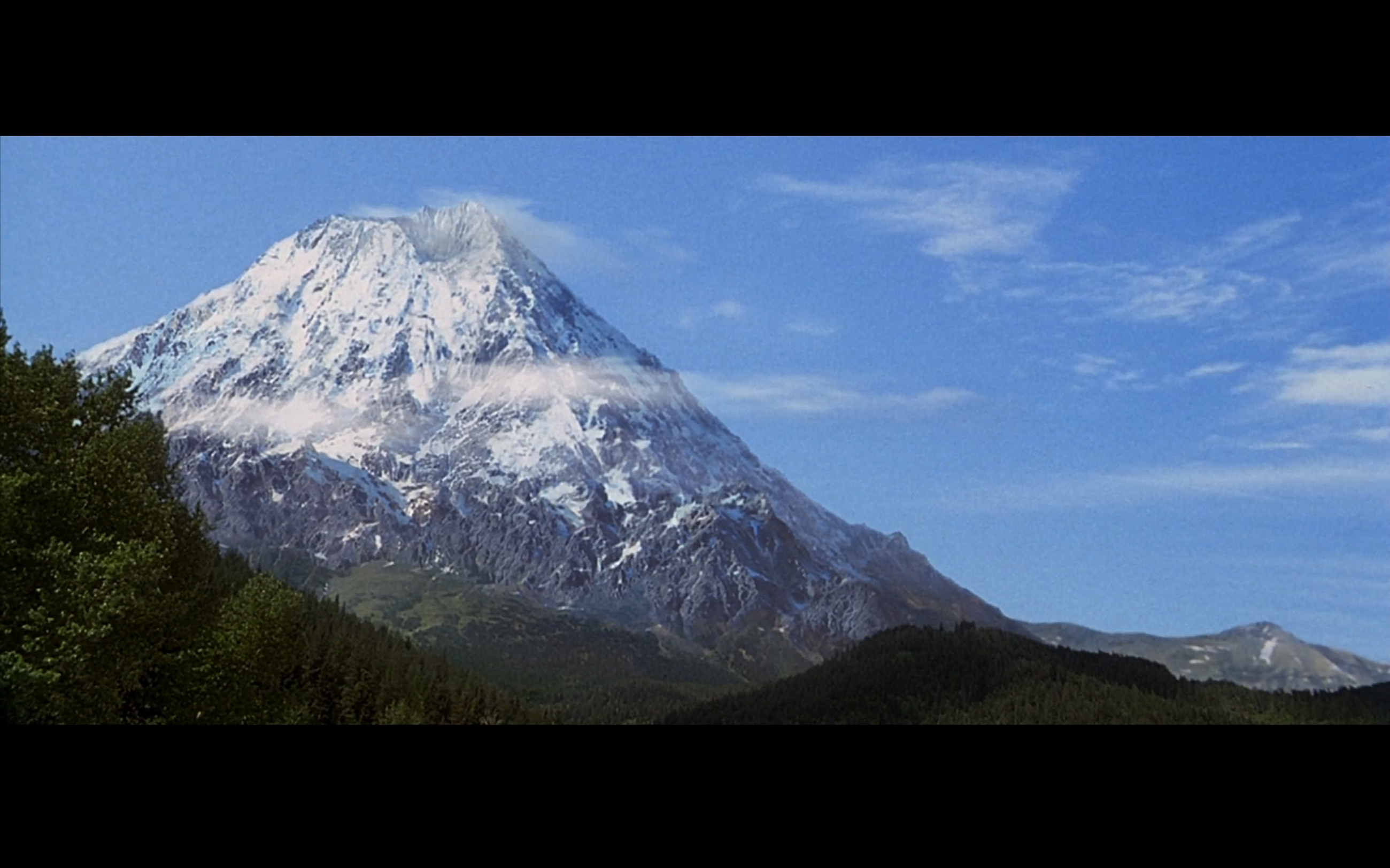
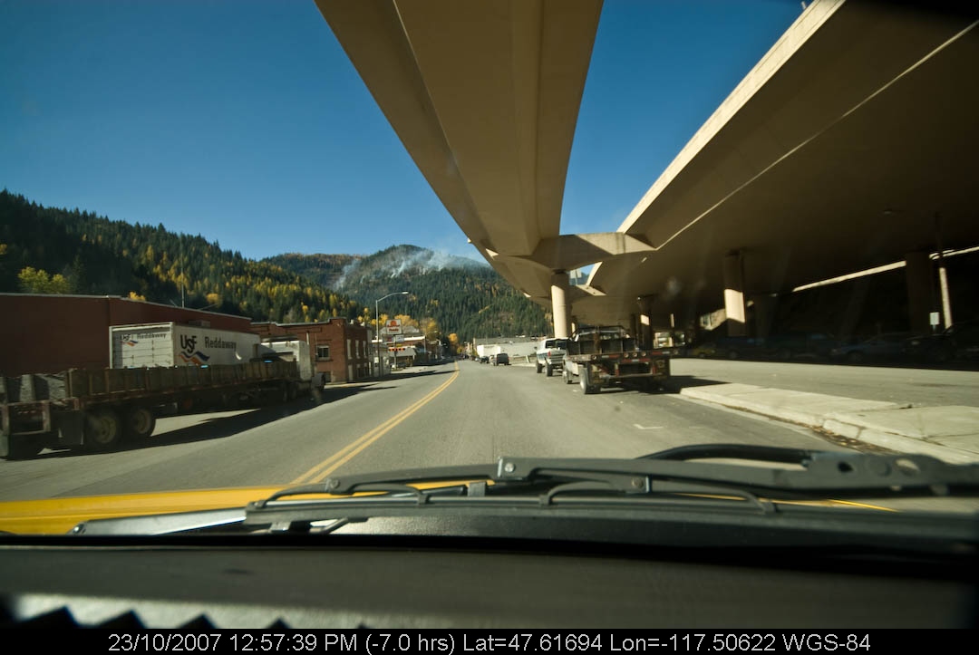
Dante's Peak Filming Locations - Wallace, Idaho

6-18d
Trail Rail 50 Miler
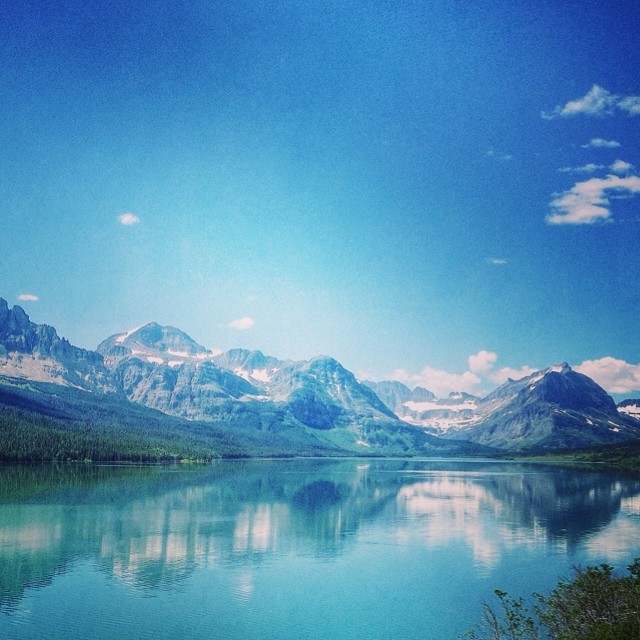
Reflections!
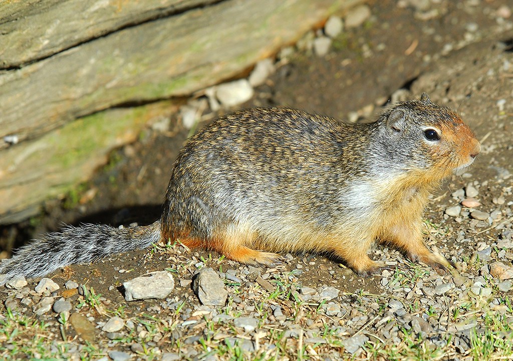
Columbian Ground Squirrel

6-18cc

Hiawatha (31)

IMG_1455 _Snapseed
Okay, okay. I'm done posting pictures for a bit. Off to the Palouse!

Lone Lake, Idaho
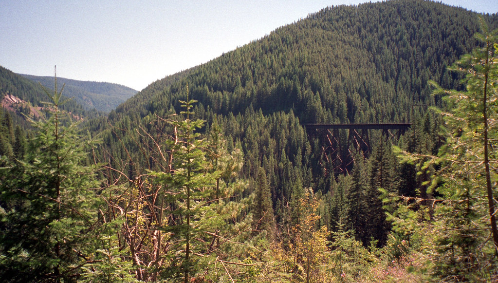
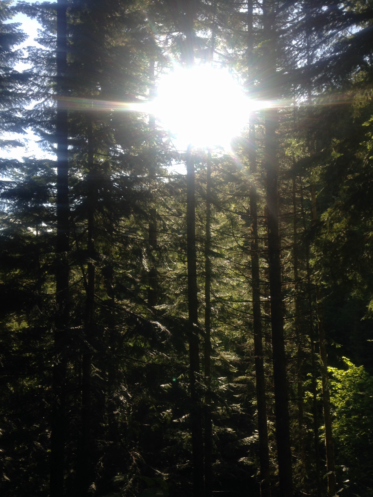
trees from a tresle

Hiawatha (5)

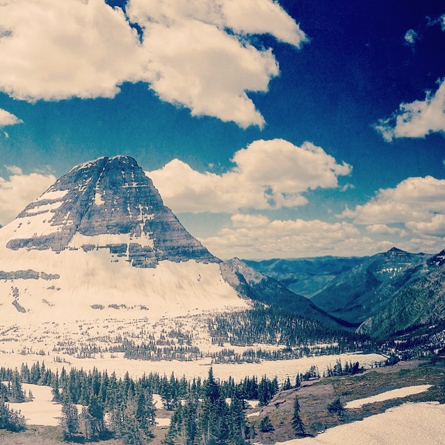
lower Blossom Lake, Montana

Waterfalls!

6-18k
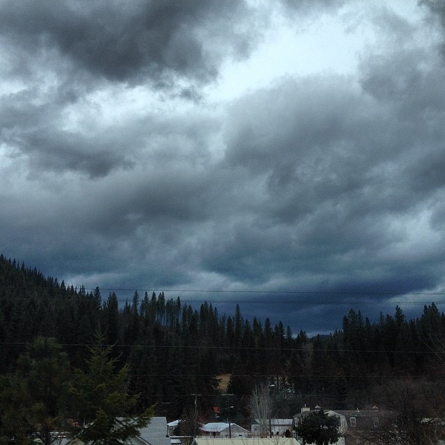
#sky looking ugly #idah o

Hiawatha (26)

6-18n

Open huckleberry area just below Revett Lake, Revett Lake Trail, Idaho
Topographic Map of Mullan, ID, USA
Find elevation by address:

Places in Mullan, ID, USA:
Places near Mullan, ID, USA:
602 Earle St
Golconda Rd, Wallace, ID, USA
62713 Benthams Rd
29 Meadow St
Placer Creek Road
843 Burke Rd
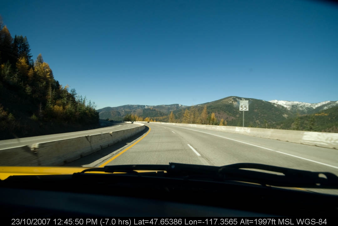
Lookout Pass
Lookout Pass
419 Burke Rd
Burke Road
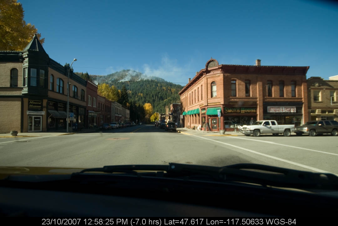
Wallace
133 King St
Wallace, ID, USA
Avery
Milwaukee Rd, Avery, ID, USA
870 Moon Gulch Rd
Shoshone County
Kellogg
Bunker Hill Tailings Number One Dam
100-106
Recent Searches:
- Elevation of Corso Fratelli Cairoli, 35, Macerata MC, Italy
- Elevation of Tallevast Rd, Sarasota, FL, USA
- Elevation of 4th St E, Sonoma, CA, USA
- Elevation of Black Hollow Rd, Pennsdale, PA, USA
- Elevation of Oakland Ave, Williamsport, PA, USA
- Elevation of Pedrógão Grande, Portugal
- Elevation of Klee Dr, Martinsburg, WV, USA
- Elevation of Via Roma, Pieranica CR, Italy
- Elevation of Tavkvetili Mountain, Georgia
- Elevation of Hartfords Bluff Cir, Mt Pleasant, SC, USA