Elevation of Milwaukee Rd, Avery, ID, USA
Location: United States > Idaho > Shoshone County > Avery >
Longitude: -115.80011
Latitude: 47.250557
Elevation: 767m / 2516feet
Barometric Pressure: 92KPa
Elevation Map:
Satellite Map:
Related Photos:
Hiawatha view
Scan-110525-0016
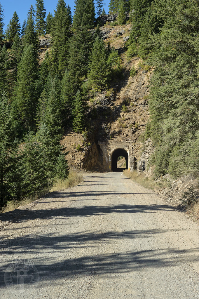
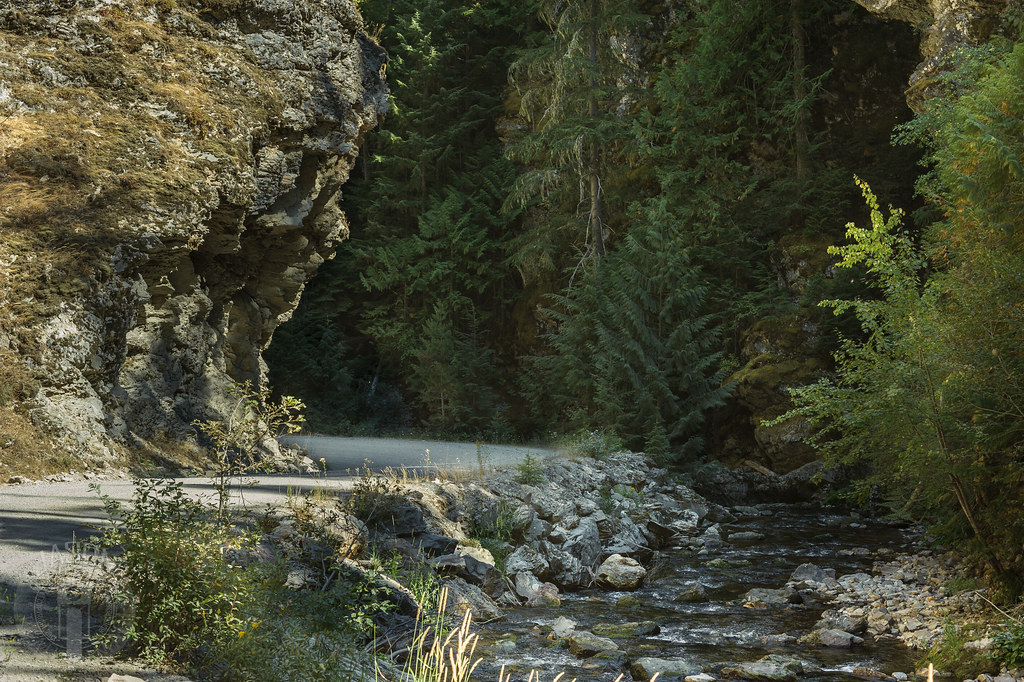
Moon Pass Road

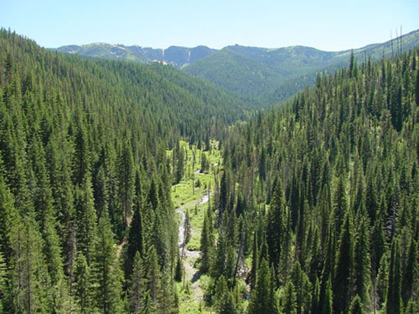
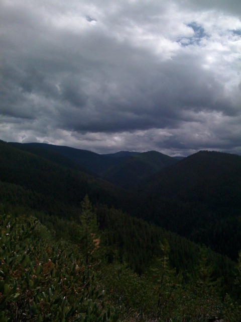
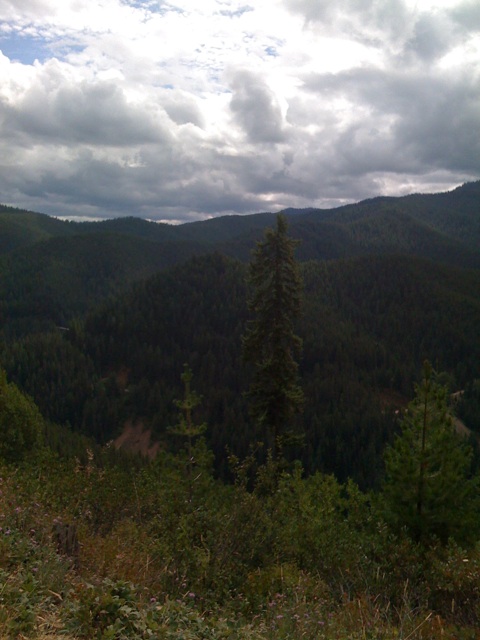
Looking at Sheefoot Mountain

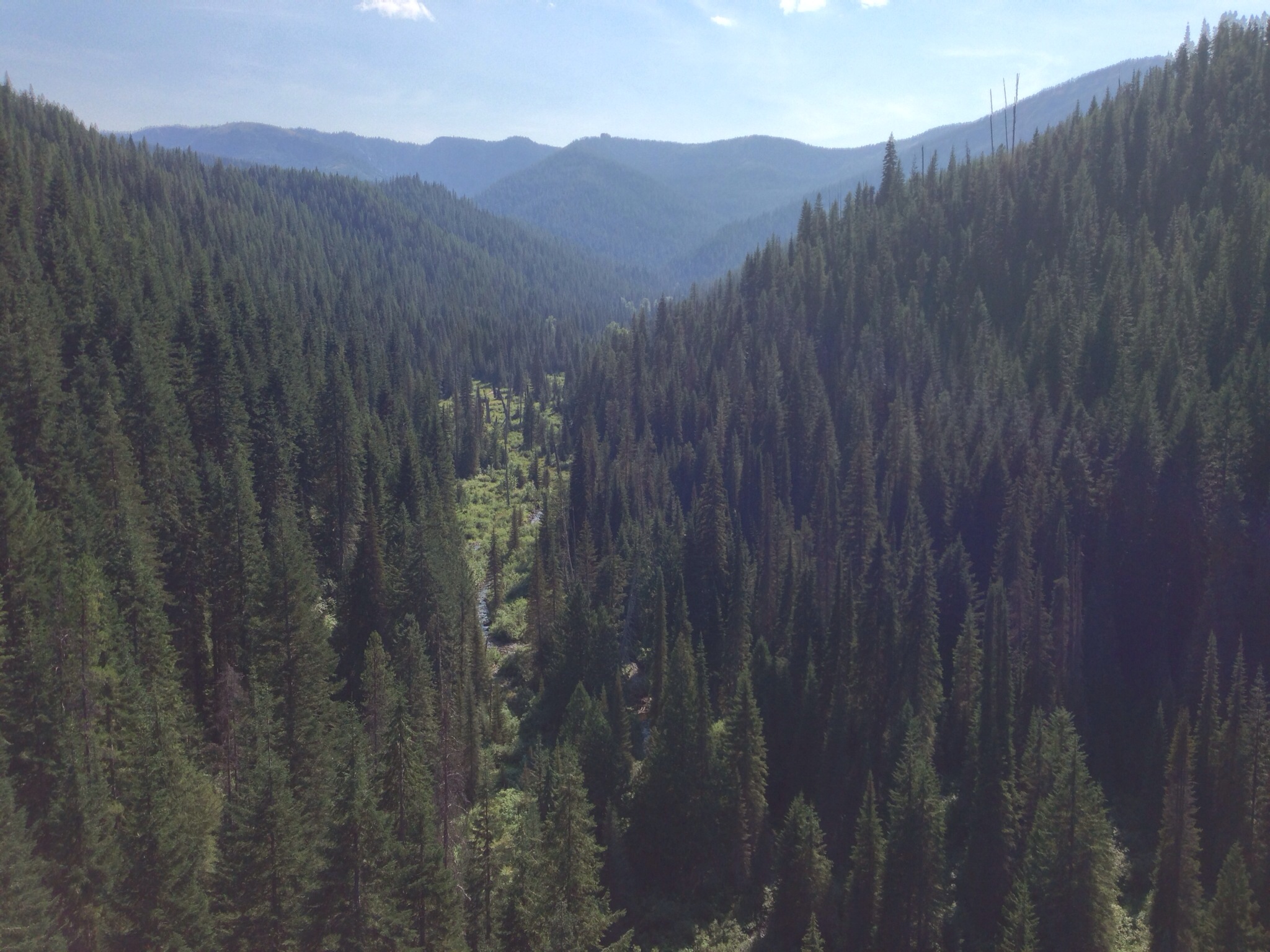
St. Joe Horseshoe
Scan-110525-0011

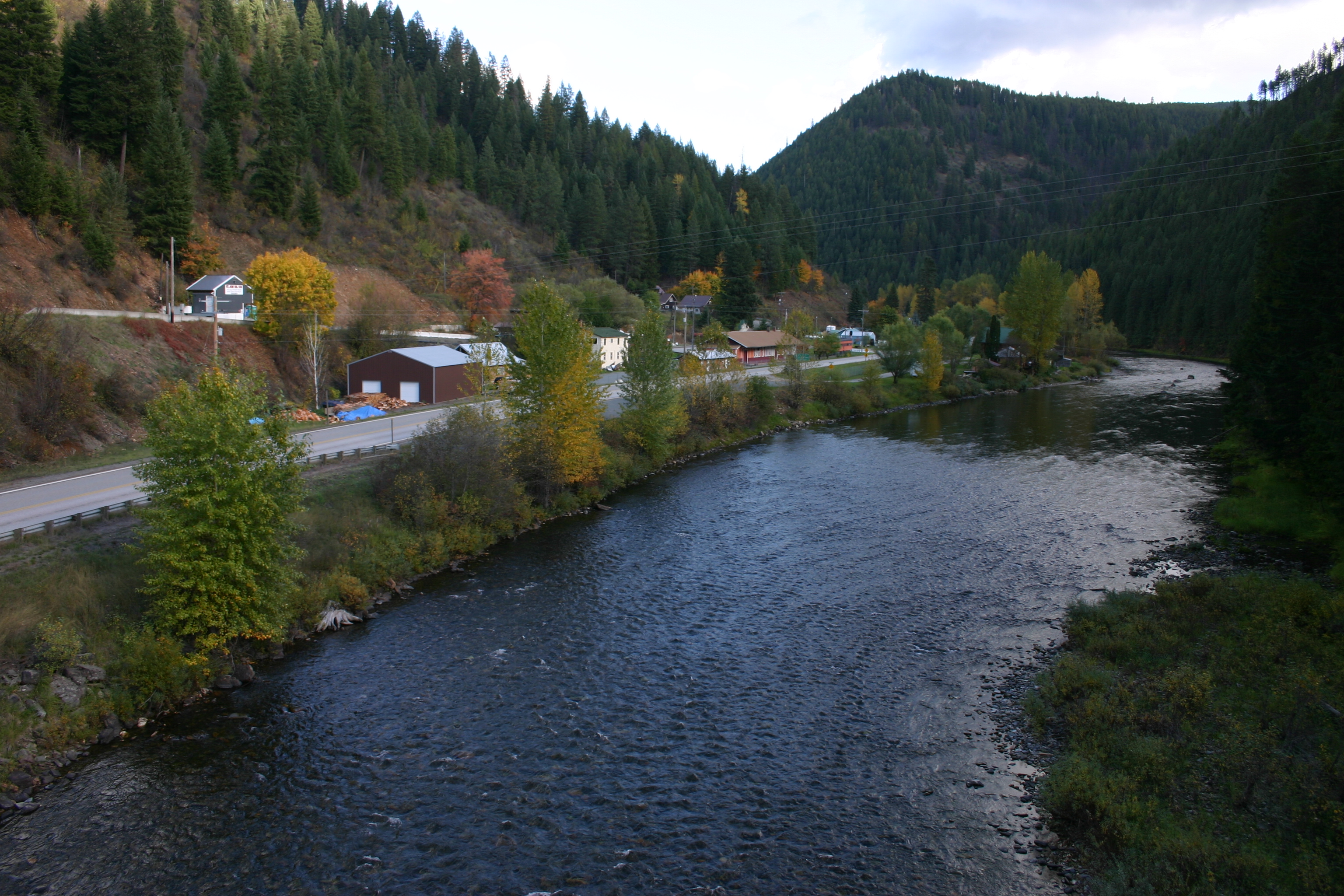
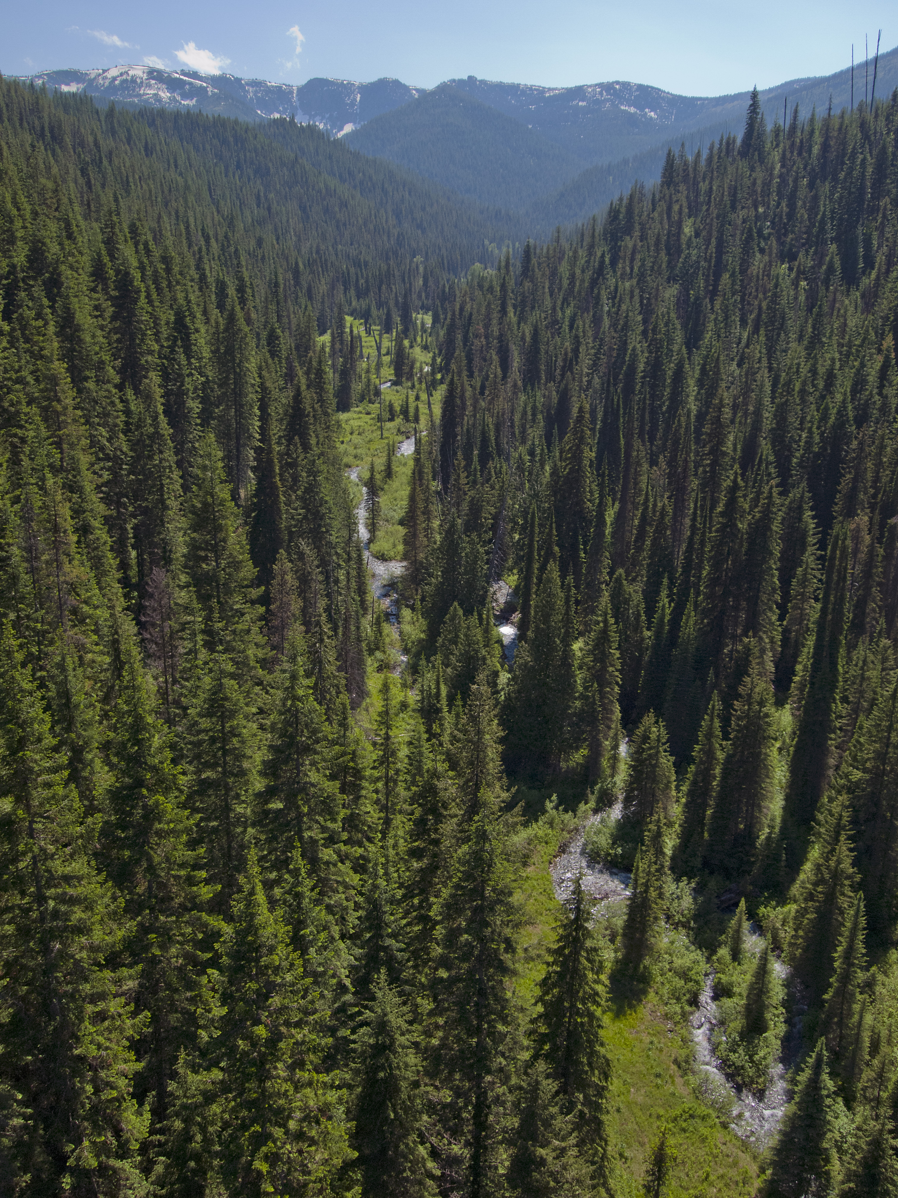
Fall Colors on the Little St. Joe River
Aug 30, 2008
Fishhook Creek
Ride Idaho 2013
Avery 1

Beautiful St. Joe River.
Aug 30, 2008

Loop Creek
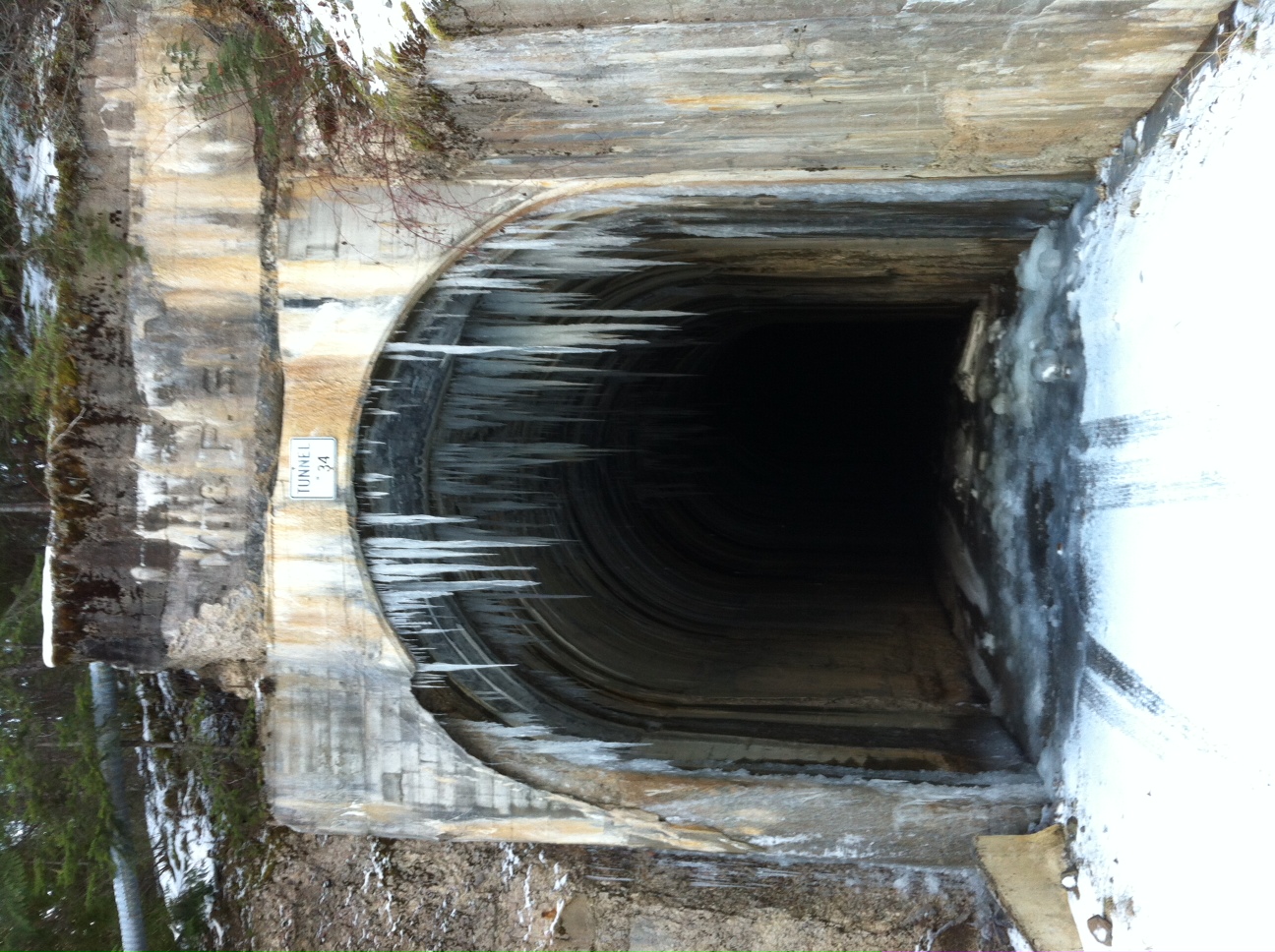
Icicles on Moon Pass Rd

Bared teeth

06052016 ID Ride

06052016 ID Ride
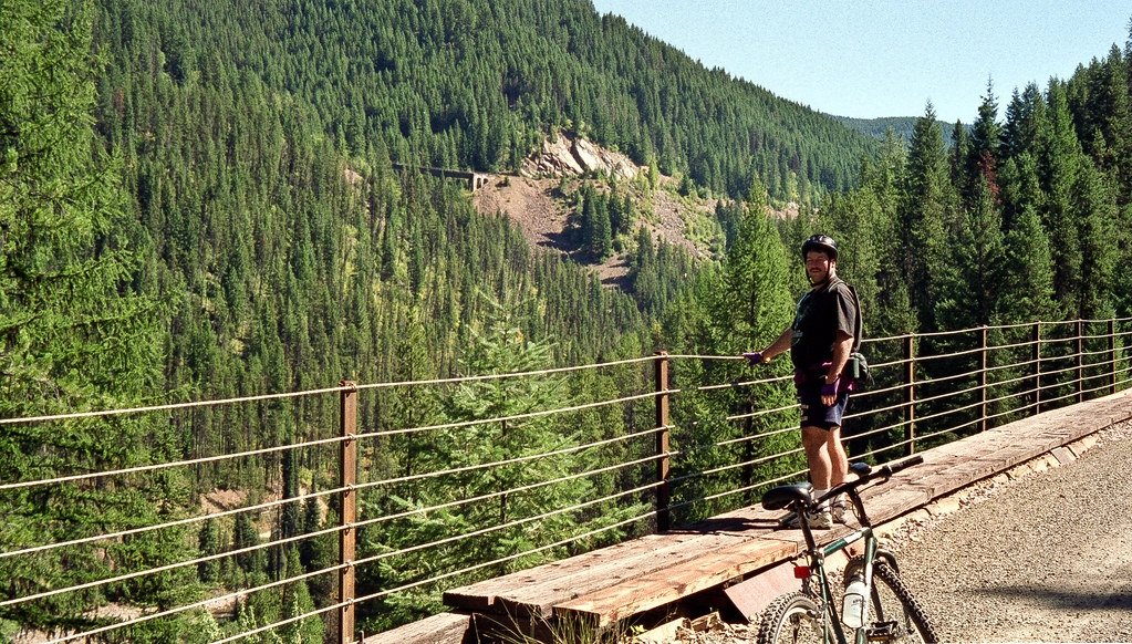
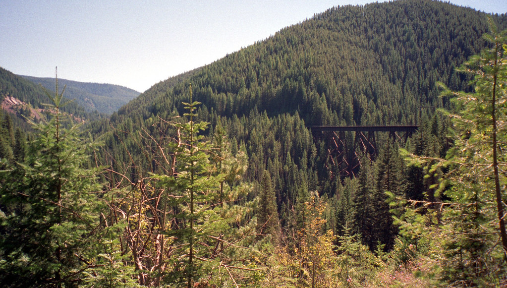
Hiawatha Trail
Topographic Map of Milwaukee Rd, Avery, ID, USA
Find elevation by address:

Places near Milwaukee Rd, Avery, ID, USA:
Avery
Shoshone County
Placer Creek Road
Dismal Lake
Mullan
602 Earle St
Lookout Pass
Lookout Pass
Golconda Rd, Wallace, ID, USA
62713 Benthams Rd
29 Meadow St
Burke Road
843 Burke Rd
419 Burke Rd
133 King St
Wallace
Wallace, ID, USA
870 Moon Gulch Rd
Haugan
Hub Lake
Recent Searches:
- Elevation of Corso Fratelli Cairoli, 35, Macerata MC, Italy
- Elevation of Tallevast Rd, Sarasota, FL, USA
- Elevation of 4th St E, Sonoma, CA, USA
- Elevation of Black Hollow Rd, Pennsdale, PA, USA
- Elevation of Oakland Ave, Williamsport, PA, USA
- Elevation of Pedrógão Grande, Portugal
- Elevation of Klee Dr, Martinsburg, WV, USA
- Elevation of Via Roma, Pieranica CR, Italy
- Elevation of Tavkvetili Mountain, Georgia
- Elevation of Hartfords Bluff Cir, Mt Pleasant, SC, USA