Elevation of Mt. Itoh, Otori, Tsuruoka, Yamagata Prefecture -, Japan
Location: Japan > Yamagata Prefecture > Tsuruoka > Otori >
Longitude: 139.848926
Latitude: 38.3428461
Elevation: 1476m / 4843feet
Barometric Pressure: 85KPa
Elevation Map:
Satellite Map:
Related Photos:
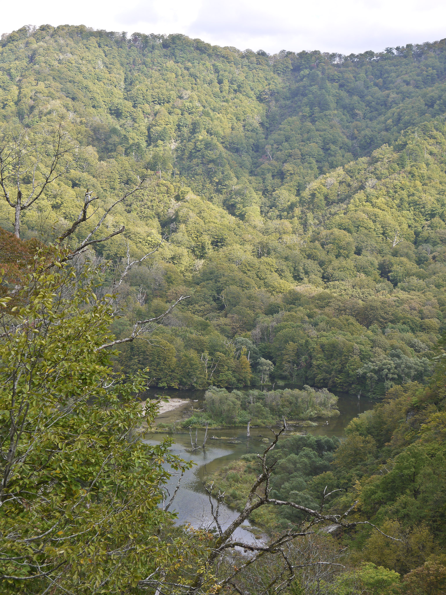
"Asahi Super Rindou" , view of Saruta River.
Topographic Map of Mt. Itoh, Otori, Tsuruoka, Yamagata Prefecture -, Japan
Find elevation by address:

Places near Mt. Itoh, Otori, Tsuruoka, Yamagata Prefecture -, Japan:
Mount Asahi
Otori
Tsukioka, Nishikawa-machi, Nishimurayama-gun, Yamagata-ken -, Japan
番外地
Nishimurayama District
Sawaguchi, Ōe-machi, Nishimurayama-gun, Yamagata-ken -, Japan
Santaiyama
Nanatsudaki-35 Tamugimata, Tsuruoka-shi, Yamagata-ken -, Japan
Kannoyama
Komogawa, Murakami-shi, Niigata-ken -, Japan
Funato, Oguni-machi, Nishiokitama-gun, Yamagata-ken -, Japan
Hirano
Takaoka, Shirataka-machi, Nishiokitama-gun, Yamagata-ken -, Japan
Mount Gassan
Teraizumi, Nagai-shi, Yamagata-ken -, Japan
Shirataka
Asahi
Oguni
協同薬品工業長井工場
Nagai
Recent Searches:
- Elevation of Corso Fratelli Cairoli, 35, Macerata MC, Italy
- Elevation of Tallevast Rd, Sarasota, FL, USA
- Elevation of 4th St E, Sonoma, CA, USA
- Elevation of Black Hollow Rd, Pennsdale, PA, USA
- Elevation of Oakland Ave, Williamsport, PA, USA
- Elevation of Pedrógão Grande, Portugal
- Elevation of Klee Dr, Martinsburg, WV, USA
- Elevation of Via Roma, Pieranica CR, Italy
- Elevation of Tavkvetili Mountain, Georgia
- Elevation of Hartfords Bluff Cir, Mt Pleasant, SC, USA