Elevation of MS-, Potts Camp, MS, USA
Location: United States > Mississippi > Marshall County > Potts Camp >
Longitude: -89.257673
Latitude: 34.5391672
Elevation: 104m / 341feet
Barometric Pressure: 100KPa
Elevation Map:
Satellite Map:
Related Photos:

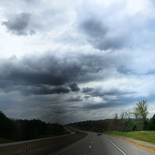
Puskus Lake

Puskus Lake

Puskus Lake
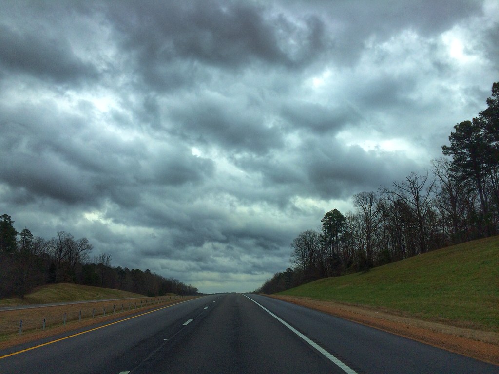
Almost to Memphis
2013.12.21

Day 33-38 009

My Photo Stream-999

My Photo Stream-997

My Photo Stream-992

My Photo Stream-985

My Photo Stream-979

My Photo Stream-976

My Photo Stream-973

My Photo Stream-968

My Photo Stream-967
My Photo Stream-964

My Photo Stream-949

My Photo Stream-948
My Photo Stream-932

My Photo Stream-926

My Photo Stream-920
Topographic Map of MS-, Potts Camp, MS, USA
Find elevation by address:

Places near MS-, Potts Camp, MS, USA:
27 Co Rd 244
MS-, Potts Camp, MS, USA
MS-, Hickory Flat, MS, USA
Potts Camp
1405 Co Rd 515
MS-30, Myrtle, MS, USA
Myrtle
MS-30, Myrtle, MS, USA
Pine Grove
Hickory Dr, New Albany, MS, USA
Carter Road
90 Lafayette Springs Rd, Thaxton, MS, USA
163 Downing St
305 Downing St
Waterford
B & J Grocery
Thaxton
Lafayette County
Benton County
Abbeville
Recent Searches:
- Elevation of Corso Fratelli Cairoli, 35, Macerata MC, Italy
- Elevation of Tallevast Rd, Sarasota, FL, USA
- Elevation of 4th St E, Sonoma, CA, USA
- Elevation of Black Hollow Rd, Pennsdale, PA, USA
- Elevation of Oakland Ave, Williamsport, PA, USA
- Elevation of Pedrógão Grande, Portugal
- Elevation of Klee Dr, Martinsburg, WV, USA
- Elevation of Via Roma, Pieranica CR, Italy
- Elevation of Tavkvetili Mountain, Georgia
- Elevation of Hartfords Bluff Cir, Mt Pleasant, SC, USA