Elevation of Benton County, MS, USA
Location: United States > Mississippi >
Longitude: -89.170599
Latitude: 34.7712669
Elevation: 139m / 456feet
Barometric Pressure: 100KPa
Elevation Map:
Satellite Map:
Related Photos:
Wolf River - head of navigation
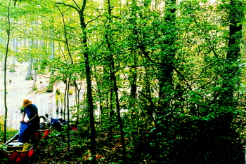
Ray Skinner at the provisional head of navigation on the Wolf River
Provisional Head of Navigation of Wolf River, near Canaan, Mississippi
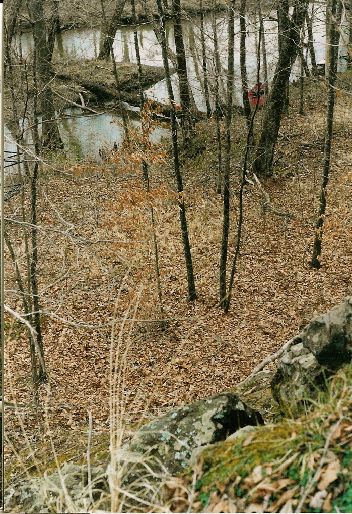
View of Wolf River from its only rocky outcrop

HAL_8869
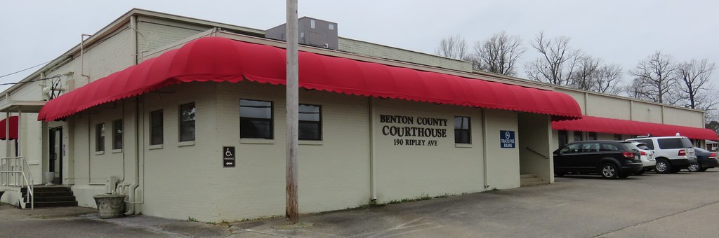
Benton County Courthouse (Ashland, Mississippi)
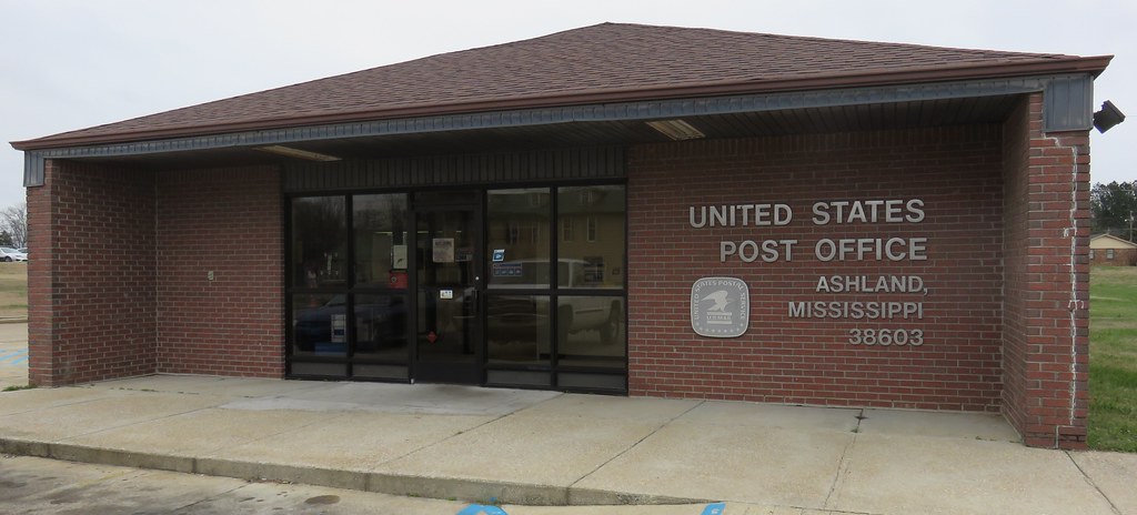
Post Office 38603 (Ashland, Mississippi)
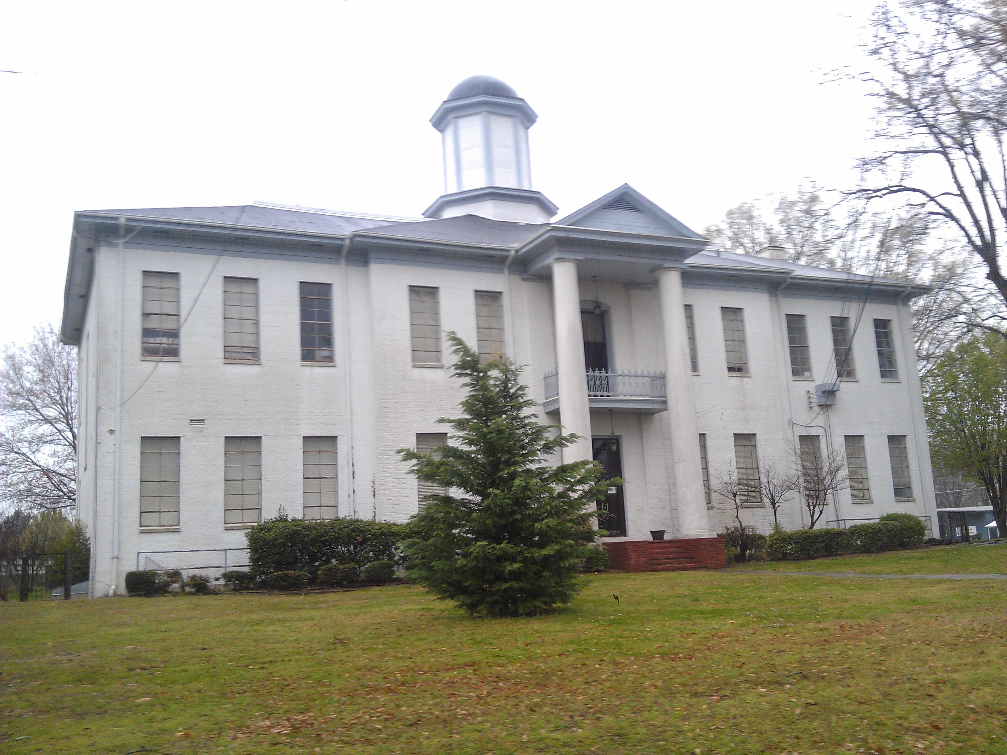
Benton County Courthouse- Ashland MS (4)
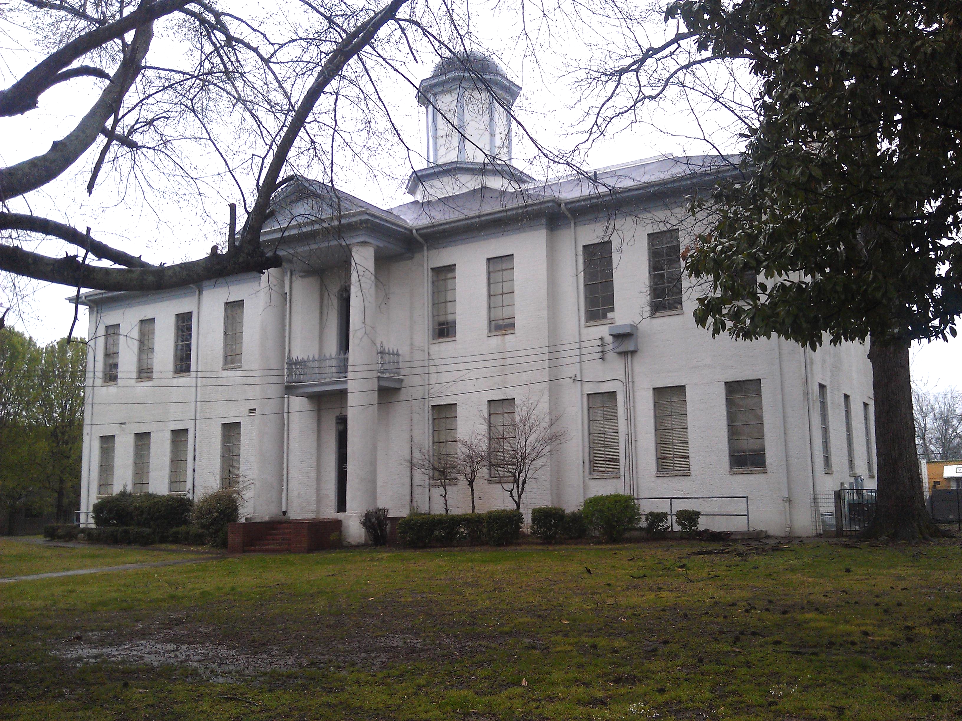
Benton County Courthouse- Ashland MS (1)

Aunt Isabel's Pantry People

Aunt Isabel's Kitchen
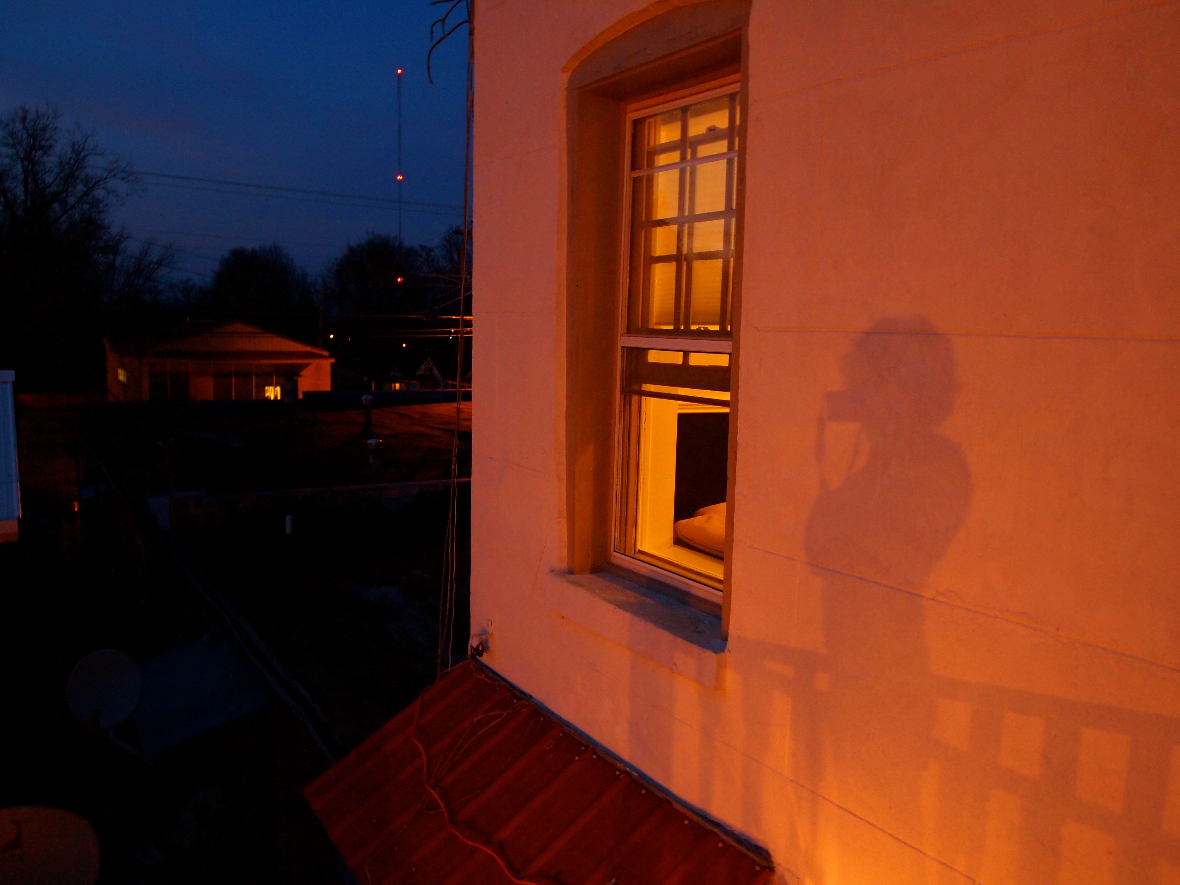
Self Portrait

Titus.
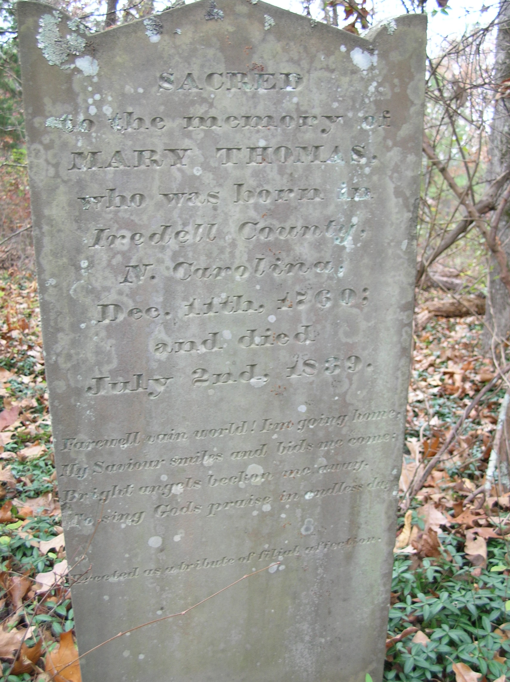
Old headstone
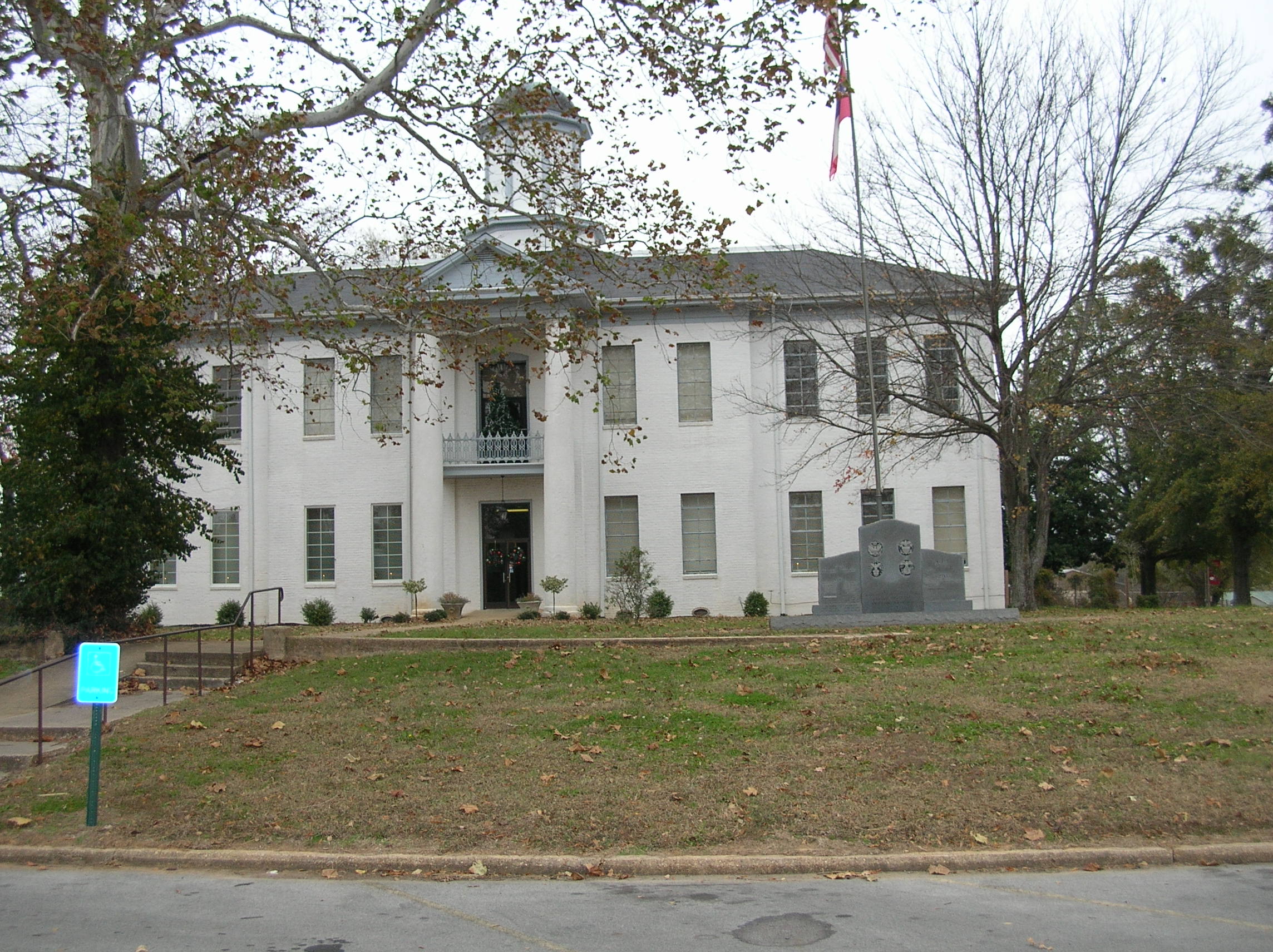
Benton County MS courthouse
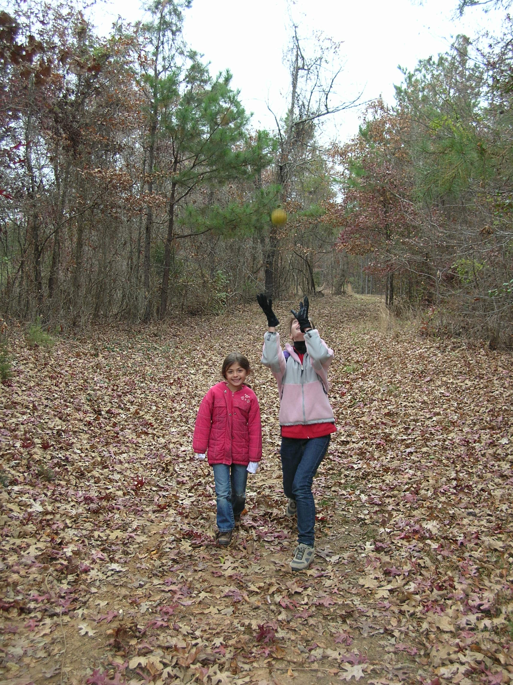
Osage Orange
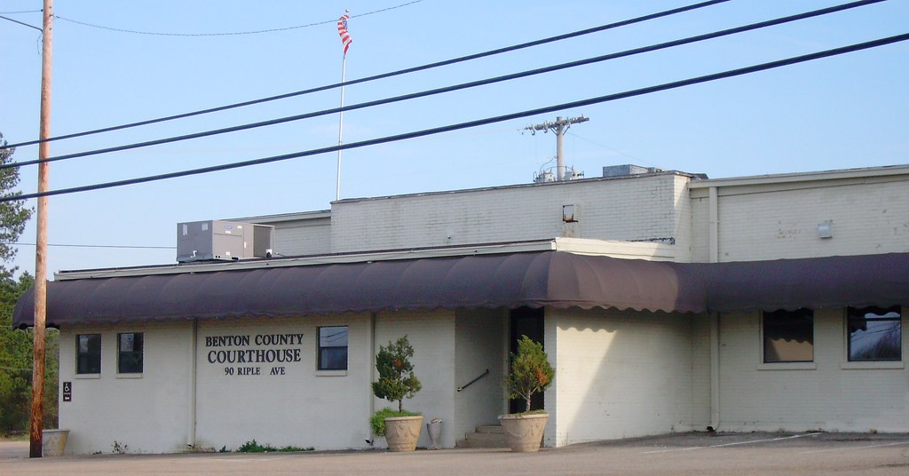
Benton County Courthouse (Ashland, Mississippi)
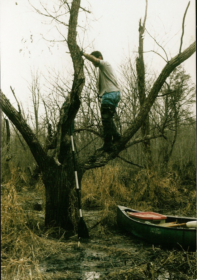
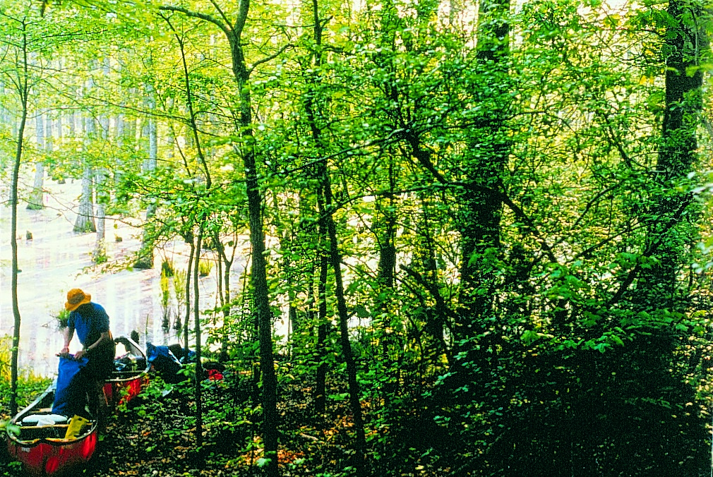
The late Bill Lawrence, trying to find a path through swamp 1998

Bill Lawrence, trying to find a path through swamp
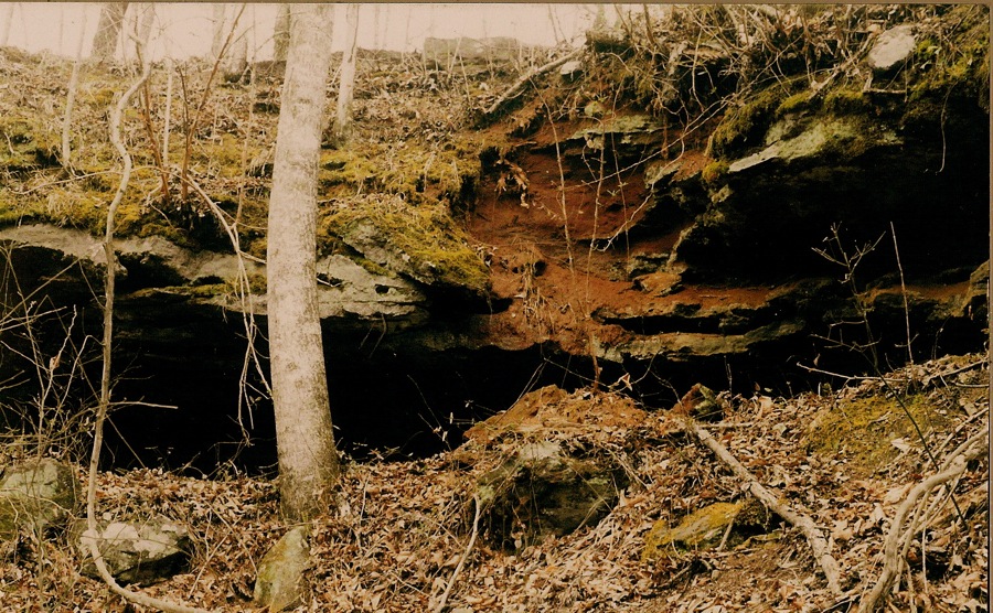
Wolf River's only rock formation
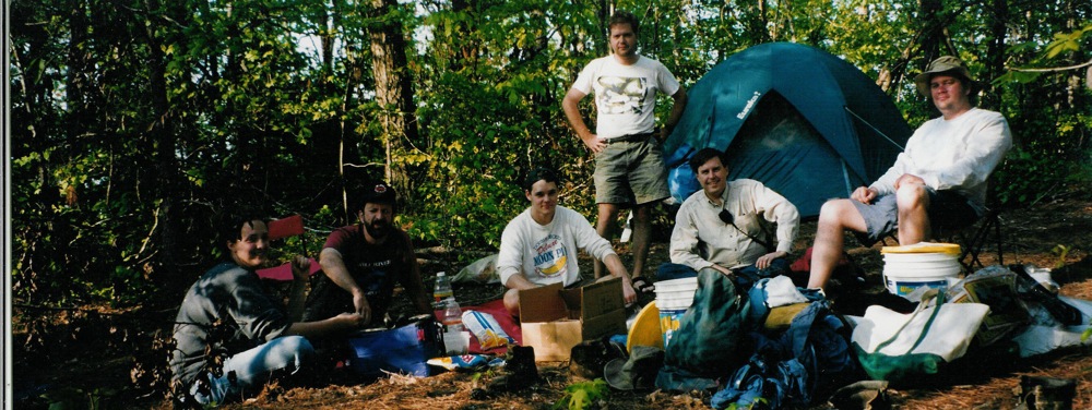
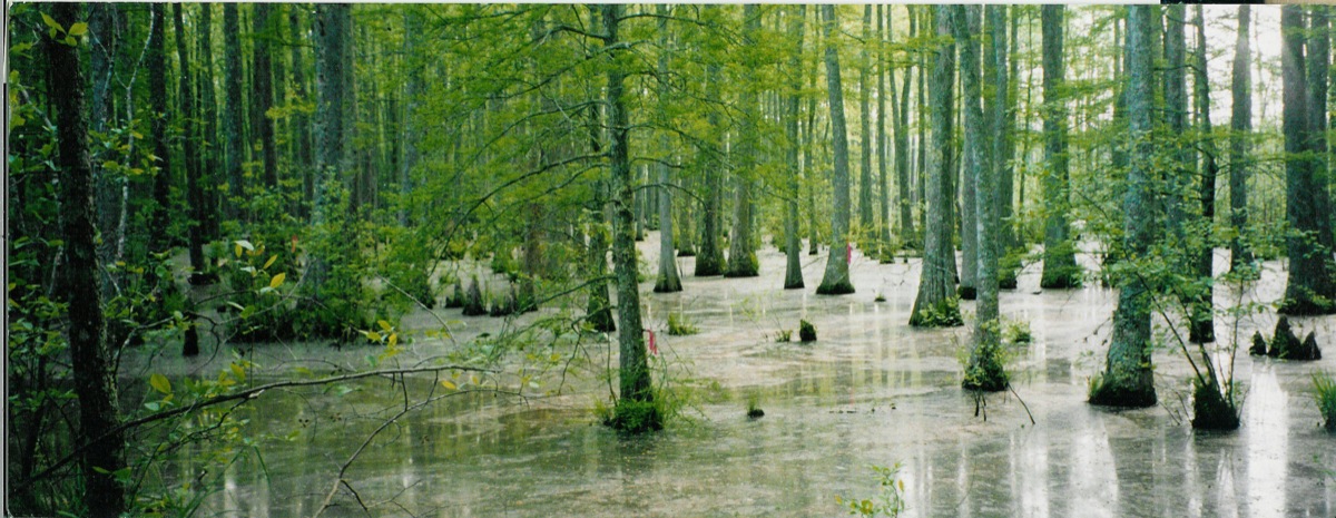
base camp for start of Wolf River full descent 1998

Music Man
Topographic Map of Benton County, MS, USA
Find elevation by address:

Places in Benton County, MS, USA:
Places near Benton County, MS, USA:
Pine Grove
Dogwood Ln, Blue Mountain, MS, USA
MS-, Hickory Flat, MS, USA
Blue Mountain
US-72, Ashland, MS, USA
Potts Camp
Higdon Rd, Holly Springs, MS, USA
Myrtle
Ripley
W Jefferson St, Ripley, MS, USA
220 Co Rd 457
Food Giant
MS-, Potts Camp, MS, USA
MS-, Potts Camp, MS, USA
188 Dumas Rd
Kimbrough Chapel Rd, Lamar, MS, USA
520 Salem Ave
1950 Mississippi Rd
220 E College Ave
1405 Co Rd 515
Recent Searches:
- Elevation of Corso Fratelli Cairoli, 35, Macerata MC, Italy
- Elevation of Tallevast Rd, Sarasota, FL, USA
- Elevation of 4th St E, Sonoma, CA, USA
- Elevation of Black Hollow Rd, Pennsdale, PA, USA
- Elevation of Oakland Ave, Williamsport, PA, USA
- Elevation of Pedrógão Grande, Portugal
- Elevation of Klee Dr, Martinsburg, WV, USA
- Elevation of Via Roma, Pieranica CR, Italy
- Elevation of Tavkvetili Mountain, Georgia
- Elevation of Hartfords Bluff Cir, Mt Pleasant, SC, USA