Elevation of US-72, Ashland, MS, USA
Location: United States > Mississippi >
Longitude: -89.132914
Latitude: 34.946228
Elevation: 168m / 551feet
Barometric Pressure: 99KPa
Elevation Map:
Satellite Map:
Related Photos:

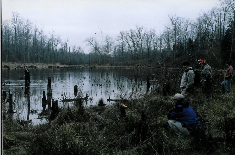
Provisional Head of Navigation of Wolf River, near Canaan, Mississippi

Ray Skinner at the provisional head of navigation on the Wolf River

Leaping Across the Wolf River at its source: Baker's Pond

Wolf River - head of navigation
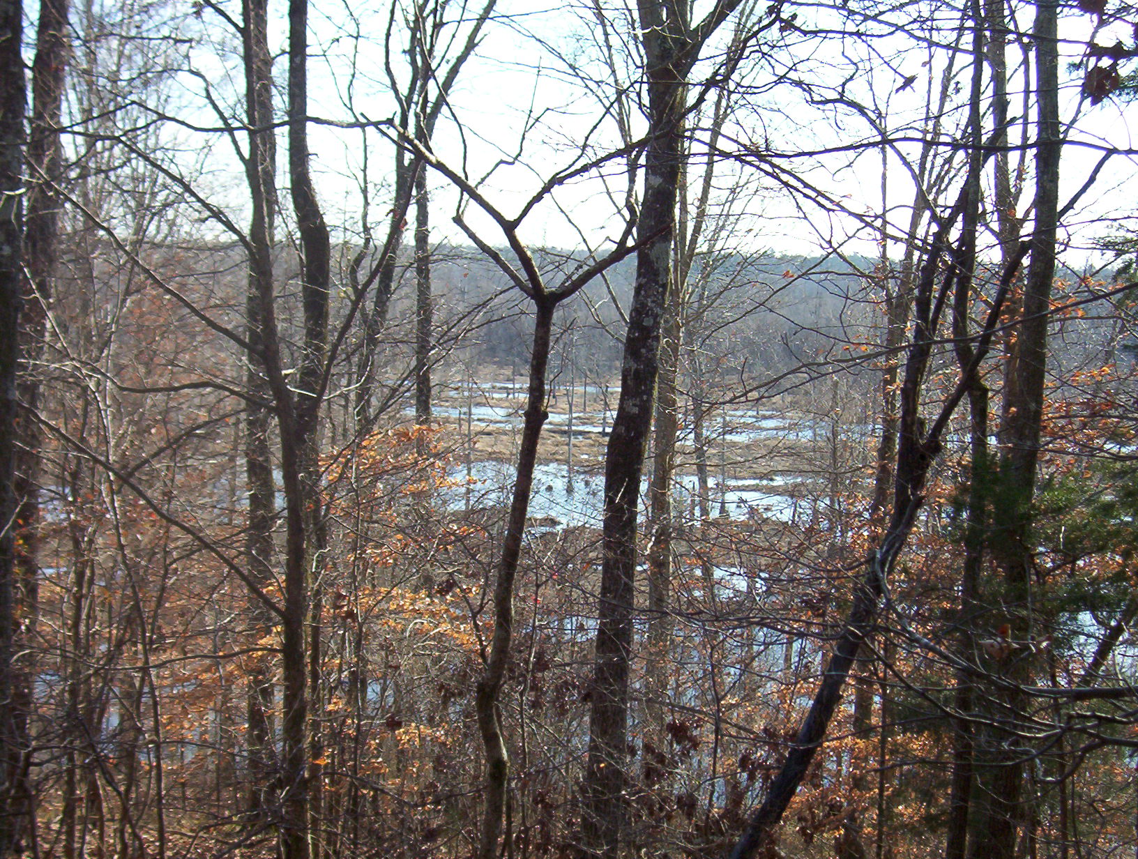
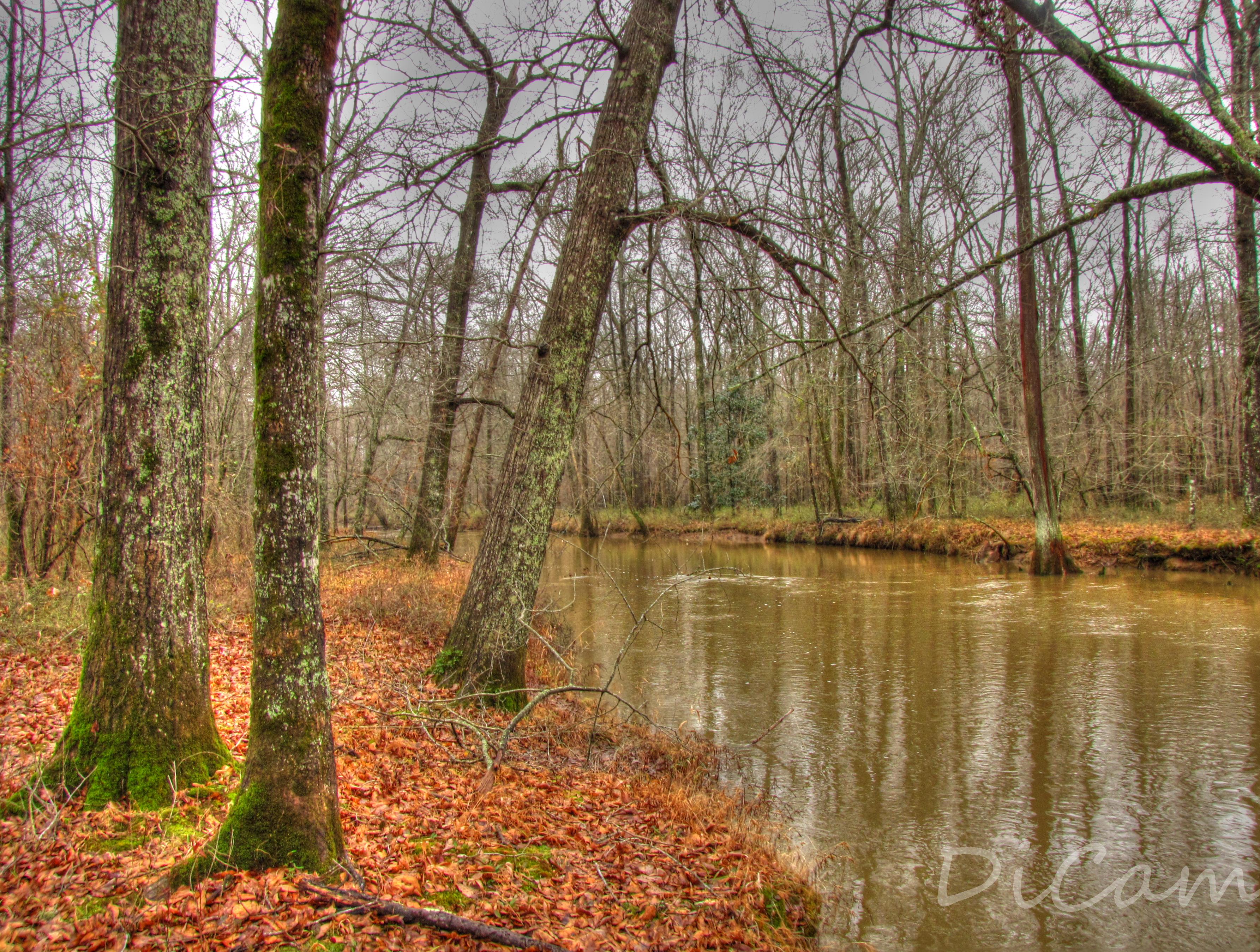
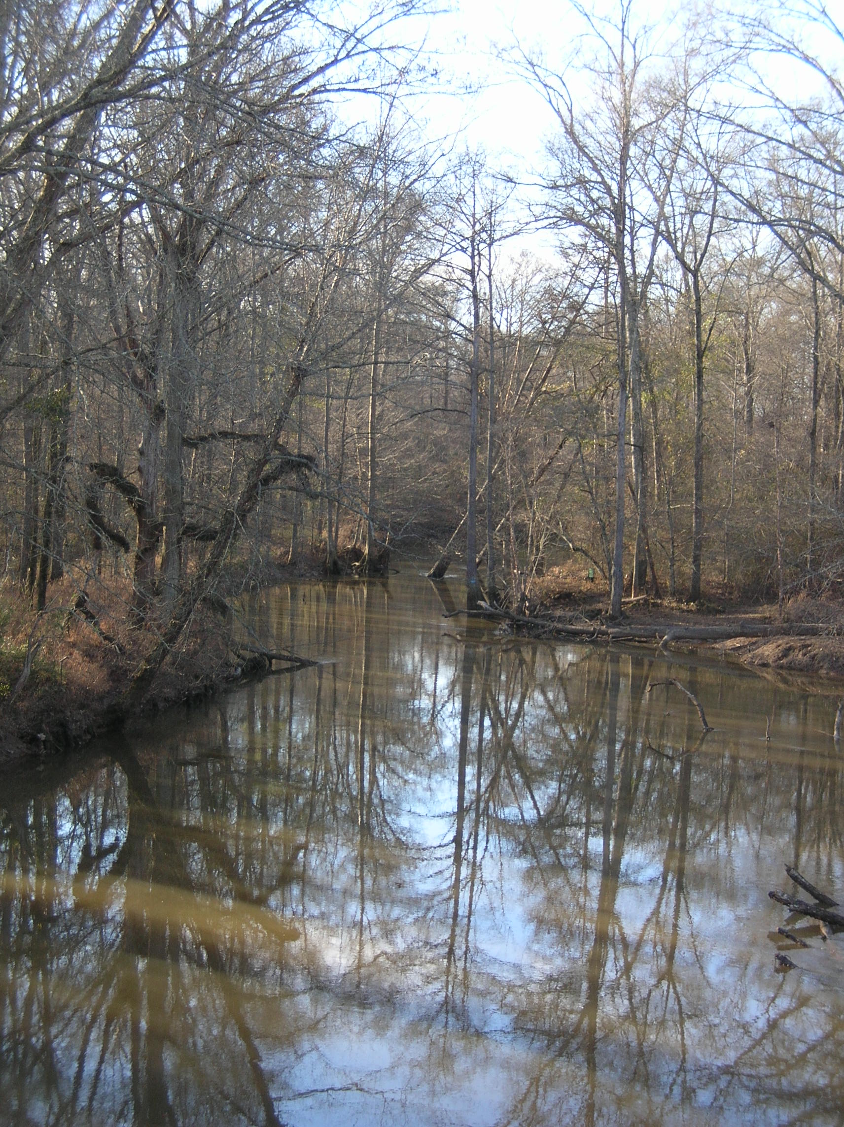
View of one of the Wolf River's "secret" marshes upstream (south) of Highway 72
Cold dawn at Baker's Pond
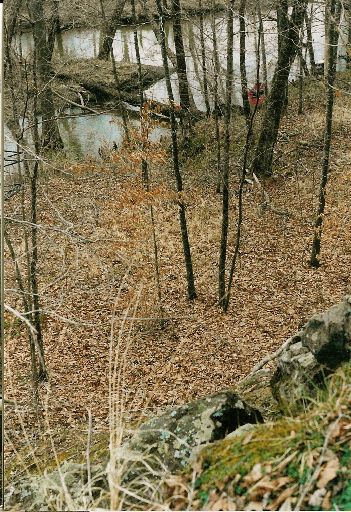
View of Wolf River from its only rocky outcrop
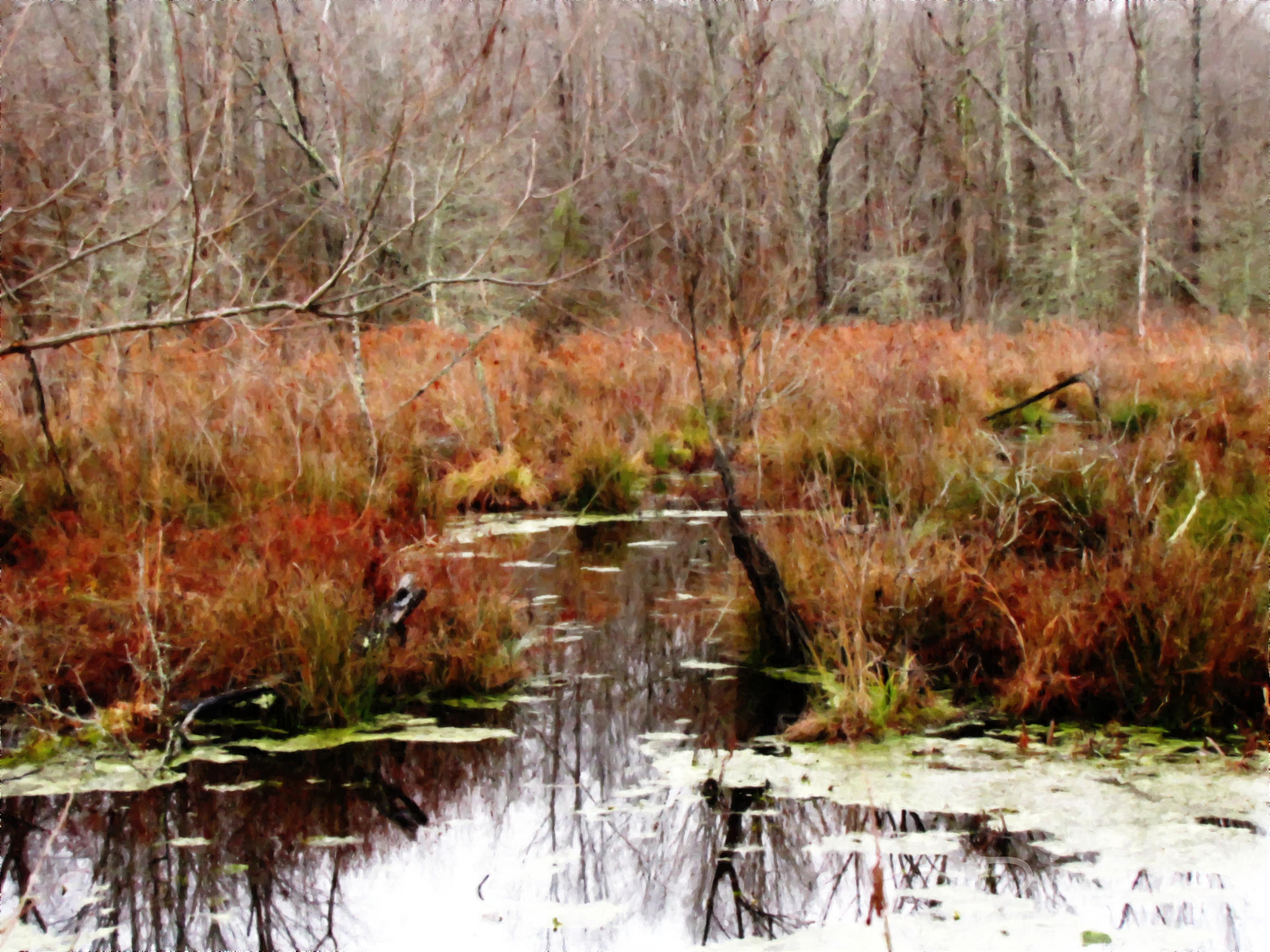
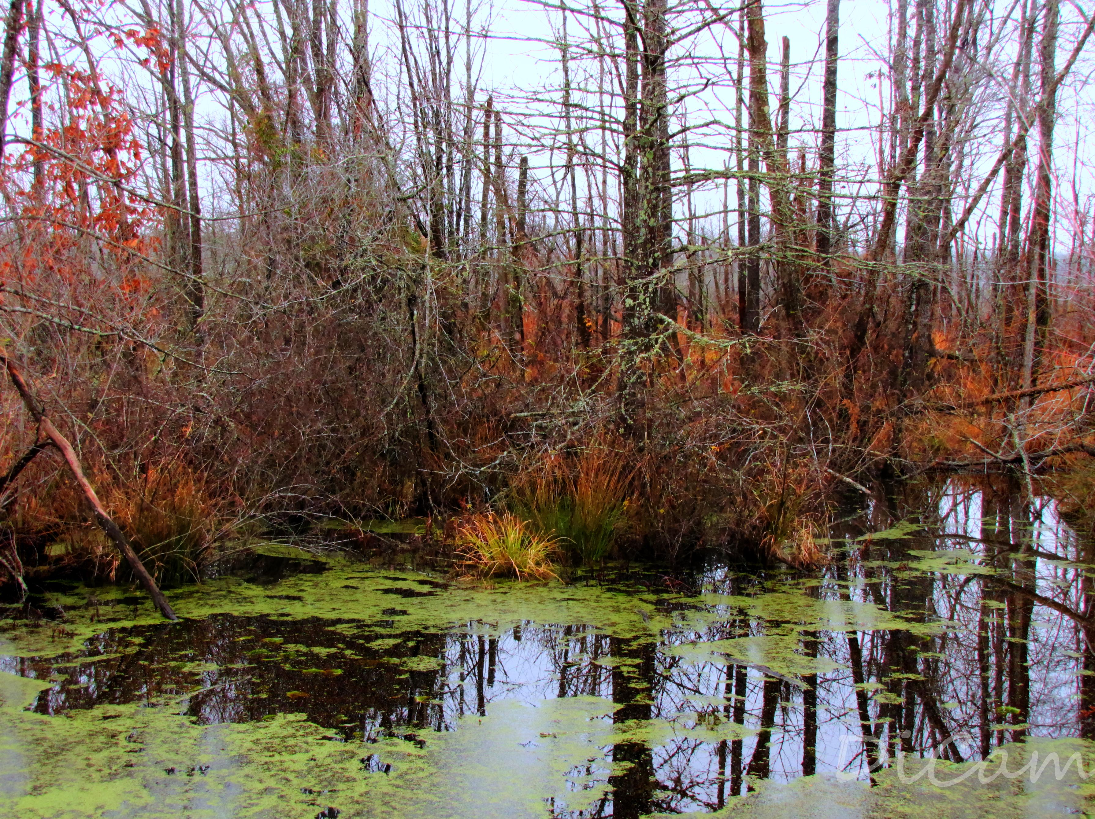
Mineral Slough
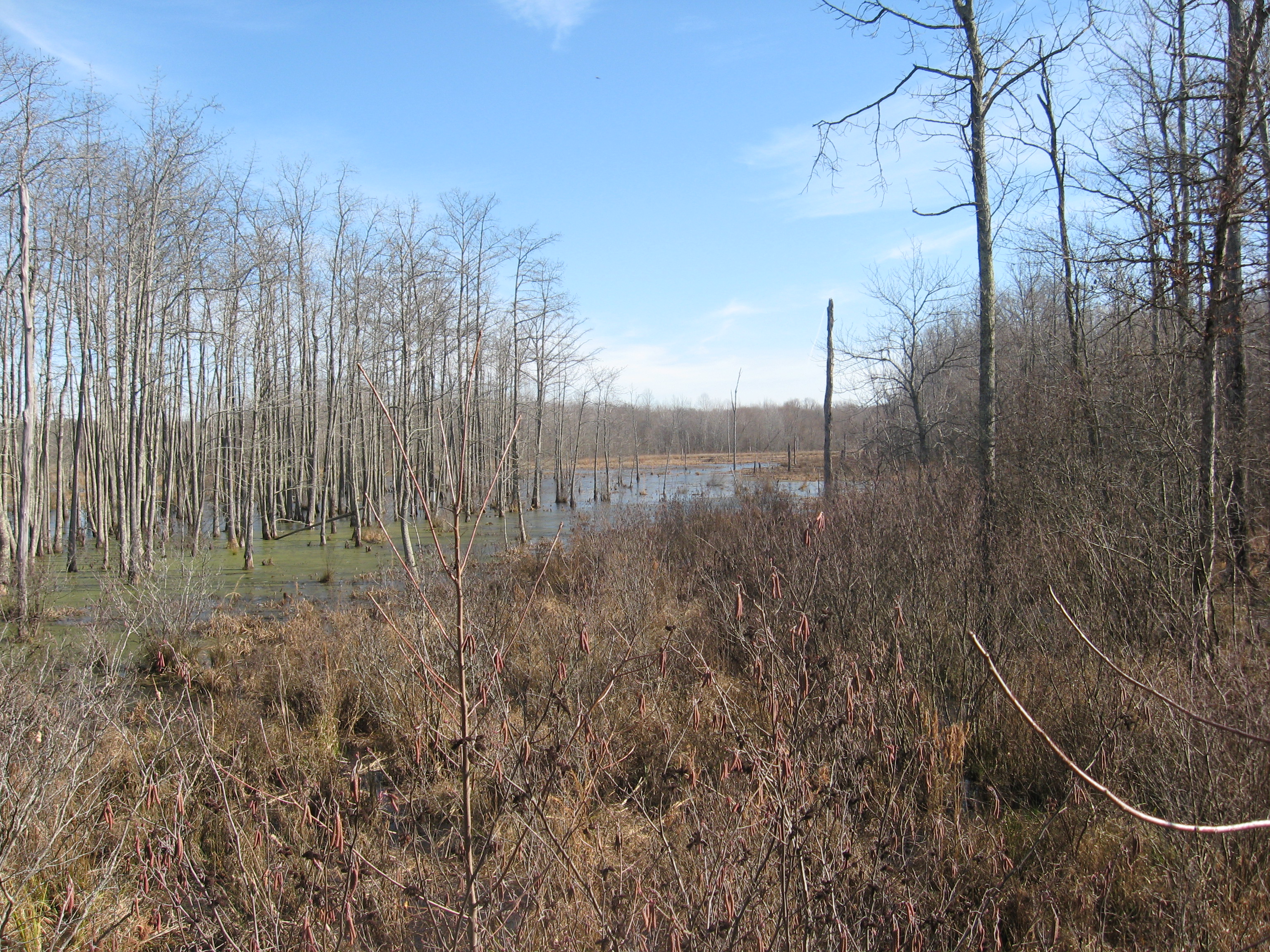
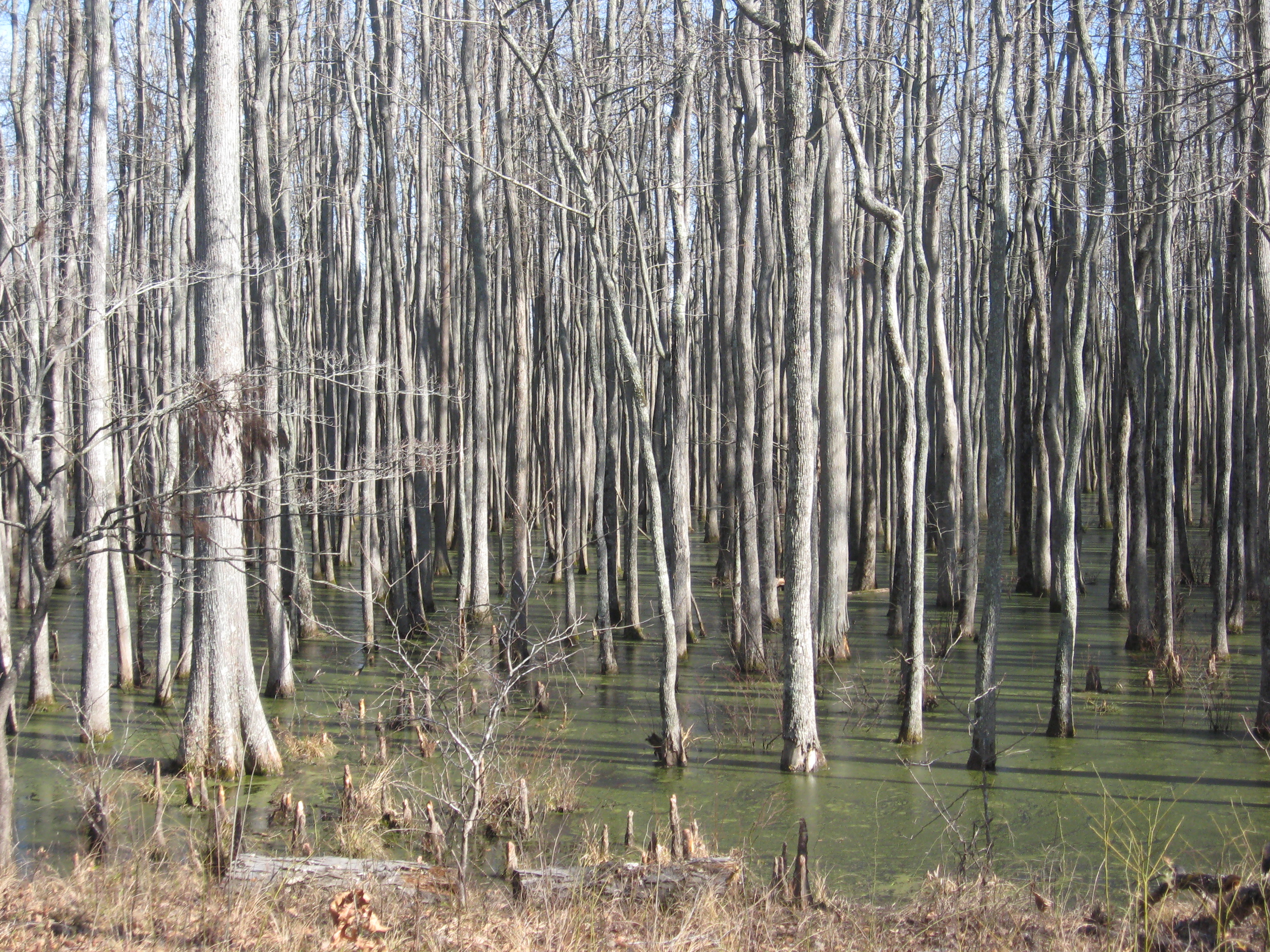
ghost river section of wolf
beasley road

beasley road
beasley road
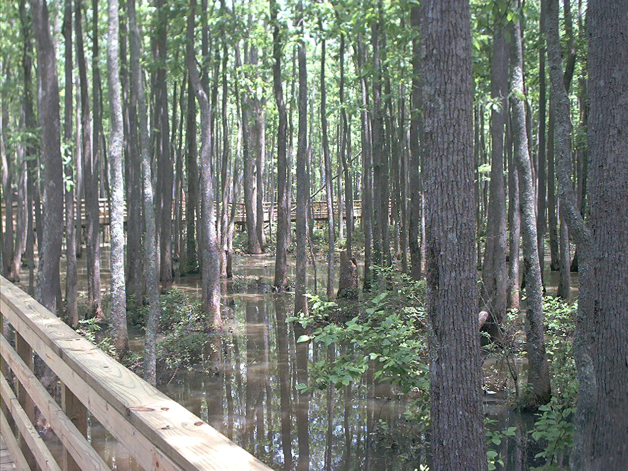
Mineral Slough Boardwalk near La Grange, TN, along the Wolf River
Wolf River
MIneral Slough

Ghost River
Topographic Map of US-72, Ashland, MS, USA
Find elevation by address:

Places near US-72, Ashland, MS, USA:
1950 Mississippi Rd
Saulsbury
170 College St
8390 Tn-57
329 Capewood Cove
515 Harrison Ln
515 Harrison Ln
535 Harrison Ln
Benton County
192 Fawn Dr
Van Buren Road
Hickory Valley
845 Herschel Rd
Hardeman County
Tiplersville
MS-15, Tiplersville, MS, USA
Walnut
220 Co Rd 457
Pine Grove
2541b
Recent Searches:
- Elevation of Corso Fratelli Cairoli, 35, Macerata MC, Italy
- Elevation of Tallevast Rd, Sarasota, FL, USA
- Elevation of 4th St E, Sonoma, CA, USA
- Elevation of Black Hollow Rd, Pennsdale, PA, USA
- Elevation of Oakland Ave, Williamsport, PA, USA
- Elevation of Pedrógão Grande, Portugal
- Elevation of Klee Dr, Martinsburg, WV, USA
- Elevation of Via Roma, Pieranica CR, Italy
- Elevation of Tavkvetili Mountain, Georgia
- Elevation of Hartfords Bluff Cir, Mt Pleasant, SC, USA