Elevation of Capewood Cove, Saulsbury, TN, USA
Location: United States > Tennessee > Hardeman County > Saulsbury >
Longitude: -89.022287
Latitude: 35.046918
Elevation: 178m / 584feet
Barometric Pressure: 99KPa
Elevation Map:
Satellite Map:
Related Photos:

Leaping Across the Wolf River at its source: Baker's Pond
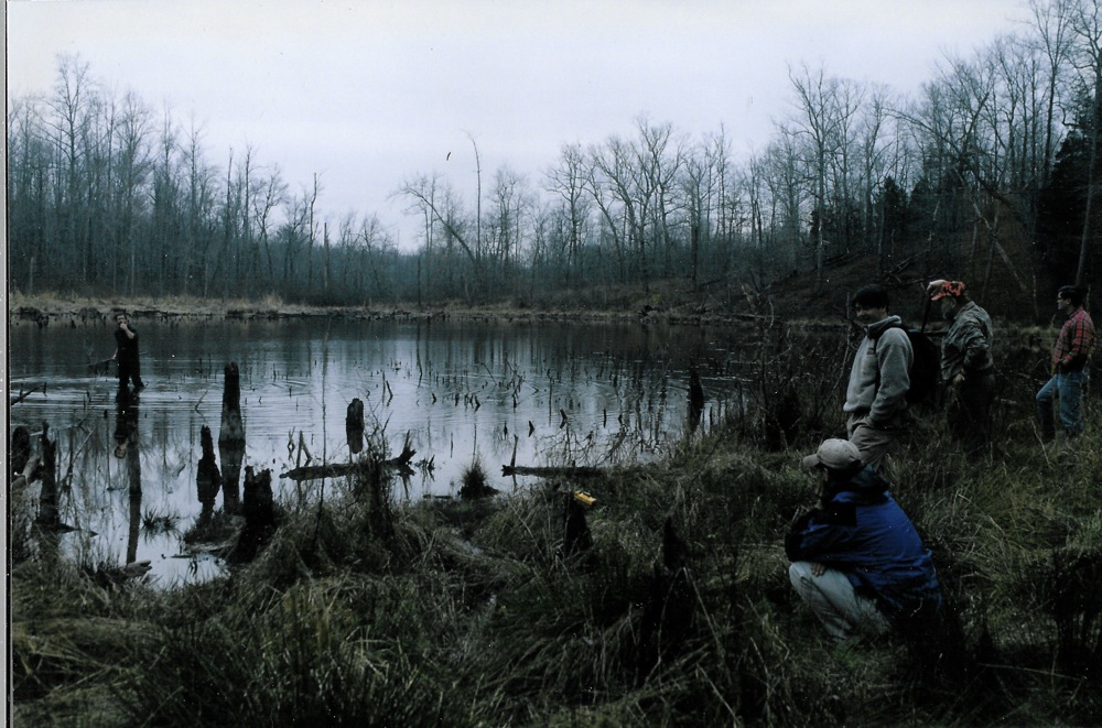
Cold dawn at Baker's Pond

Old Barn | Rural Tennessee

Rixie's Tire Shop | MIddleton, Tennessee

outcast cow

fall color

Field of Cotton
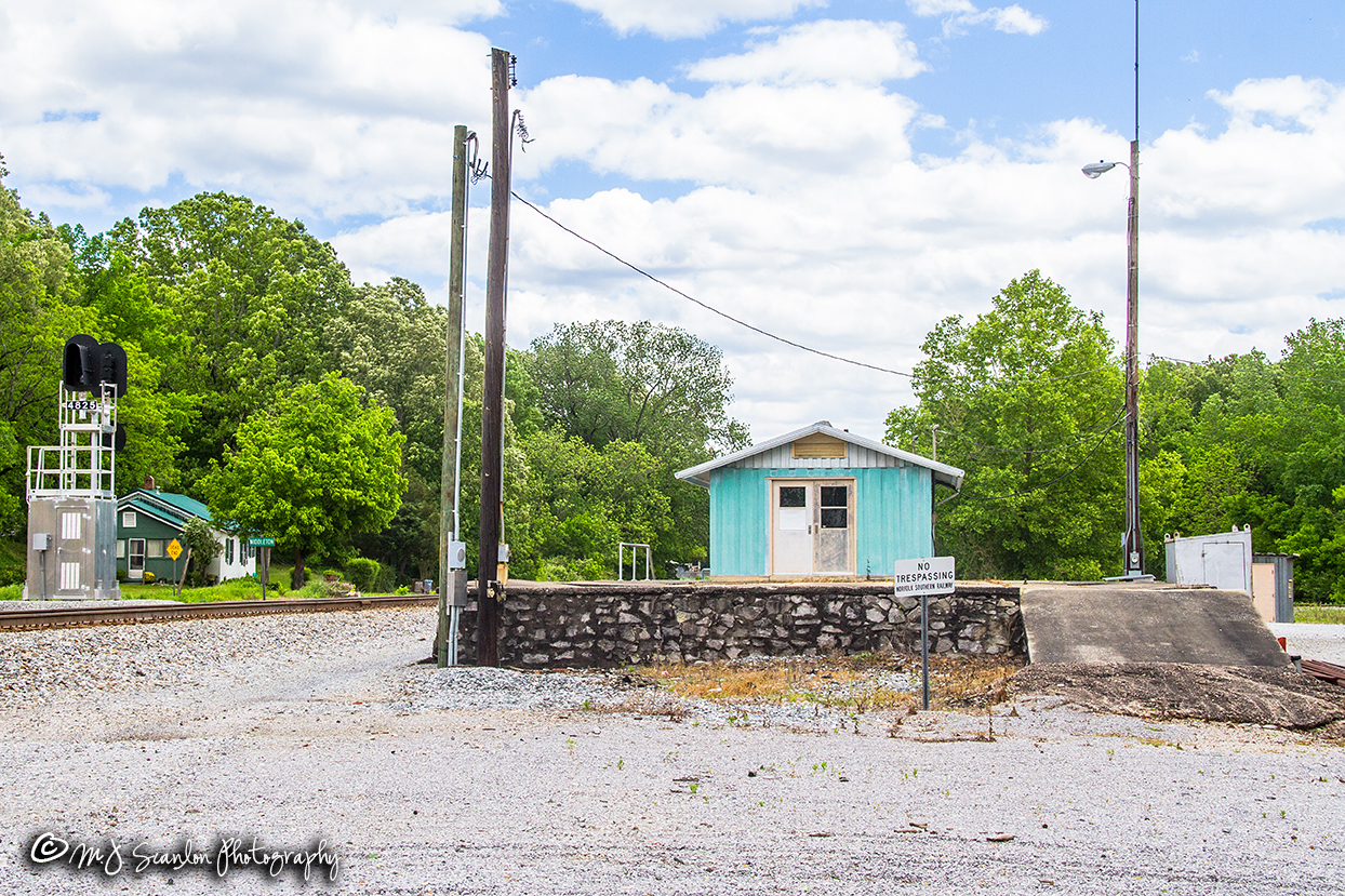
Depot Platform | Middleton, Tennessee | NS Memphis District

double-barreled

P1010183.JPG
Topographic Map of Capewood Cove, Saulsbury, TN, USA
Find elevation by address:

Places near Capewood Cove, Saulsbury, TN, USA:
515 Harrison Ln
515 Harrison Ln
535 Harrison Ln
8390 Tn-57
192 Fawn Dr
845 Herschel Rd
1950 Mississippi Rd
Saulsbury
170 College St
Hardeman County
Van Buren Road
Middleton
US-72, Ashland, MS, USA
Hickory Valley
Walnut
Tiplersville
MS-15, Tiplersville, MS, USA
2541b
220 Co Rd 457
419 Dixie Ln
Recent Searches:
- Elevation of Corso Fratelli Cairoli, 35, Macerata MC, Italy
- Elevation of Tallevast Rd, Sarasota, FL, USA
- Elevation of 4th St E, Sonoma, CA, USA
- Elevation of Black Hollow Rd, Pennsdale, PA, USA
- Elevation of Oakland Ave, Williamsport, PA, USA
- Elevation of Pedrógão Grande, Portugal
- Elevation of Klee Dr, Martinsburg, WV, USA
- Elevation of Via Roma, Pieranica CR, Italy
- Elevation of Tavkvetili Mountain, Georgia
- Elevation of Hartfords Bluff Cir, Mt Pleasant, SC, USA