Elevation of MS-, Potts Camp, MS, USA
Location: United States > Mississippi > Marshall County > Potts Camp >
Longitude: -89.329055
Latitude: 34.578412
Elevation: 129m / 423feet
Barometric Pressure: 100KPa
Elevation Map:
Satellite Map:
Related Photos:

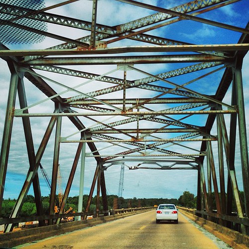
Tallachatchie River bridge, border of Lafayette and Marshall counties in North Mississippi
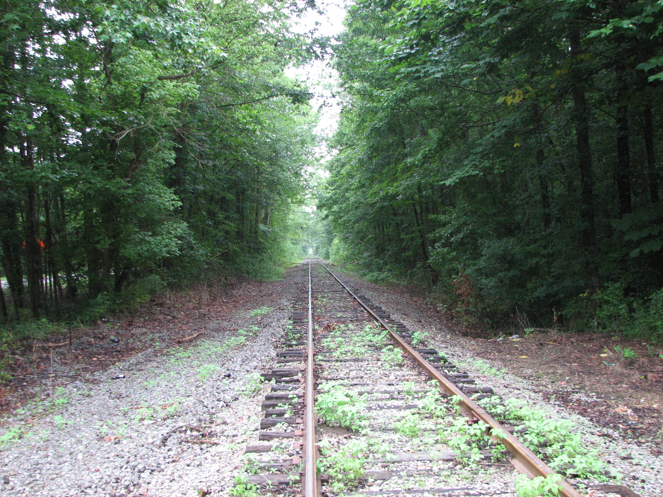
Former Mainline 2

Lightin Malcolm, Ron Walters, and Robert Kimbrough, Sr.

Bill Abel

Tommy Warren

Leo "Bud" Welch

King me

Puskus Lake
Almost to Memphis

Beverly Davis
2013.12.21
Road to #memphis thank you #Mississippi and #sfa2013 for an amazing time

Day 33-38 009

Day 33-38 011
Topographic Map of MS-, Potts Camp, MS, USA
Find elevation by address:

Places near MS-, Potts Camp, MS, USA:
Potts Camp
MS-, Hickory Flat, MS, USA
MS-, Potts Camp, MS, USA
27 Co Rd 244
Waterford
B & J Grocery
Abbeville
Higdon Rd, Holly Springs, MS, USA
Pine Grove
1405 Co Rd 515
104 Collins Cir
104 Collins Cir
MS-30, Myrtle, MS, USA
305 Downing St
163 Downing St
Apostolic Sanctuary-praise
Myrtle
Walmart Supercenter
Lafayette County
520 Salem Ave
Recent Searches:
- Elevation of Corso Fratelli Cairoli, 35, Macerata MC, Italy
- Elevation of Tallevast Rd, Sarasota, FL, USA
- Elevation of 4th St E, Sonoma, CA, USA
- Elevation of Black Hollow Rd, Pennsdale, PA, USA
- Elevation of Oakland Ave, Williamsport, PA, USA
- Elevation of Pedrógão Grande, Portugal
- Elevation of Klee Dr, Martinsburg, WV, USA
- Elevation of Via Roma, Pieranica CR, Italy
- Elevation of Tavkvetili Mountain, Georgia
- Elevation of Hartfords Bluff Cir, Mt Pleasant, SC, USA