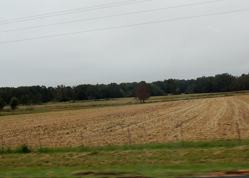
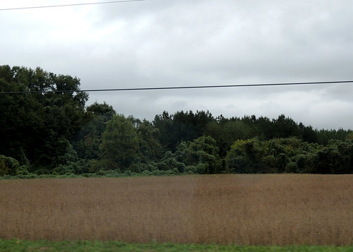
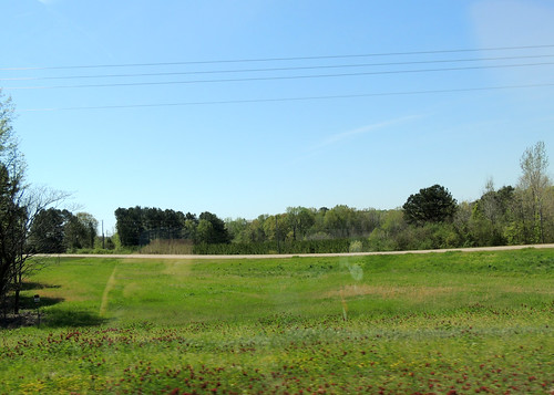
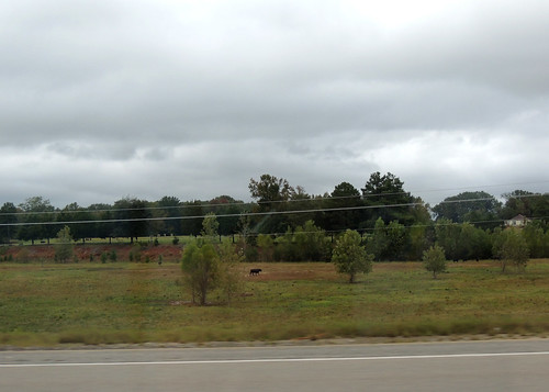
Elevation of Thaxton, MS, USA
Location: United States > Mississippi > Pontotoc County >
Longitude: -89.178125
Latitude: 34.3076058
Elevation: 133m / 436feet
Barometric Pressure: 100KPa
Related Photos:
Topographic Map of Thaxton, MS, USA
Find elevation by address:

Places in Thaxton, MS, USA:
Places near Thaxton, MS, USA:
Carter Road
90 Lafayette Springs Rd, Thaxton, MS, USA
Possum Trot Trailor Park Rental
362 Lindsey Loop
Randolph
MS-15, Ecru, MS, USA
MS-30, Myrtle, MS, USA
Ecru
MS-, Pontotoc, MS, USA
MS-30, Myrtle, MS, USA
Co Rd, New Albany, MS, USA
27 Co Rd 244
Pontotoc County
176 W Oxford St
MS-, Oxford, MS, USA
Pontotoc
1405 Co Rd 515
Algoma Rd, Pontotoc, MS, USA
Cooke Road
4038 Macedonia Rd
Recent Searches:
- Elevation of Corso Fratelli Cairoli, 35, Macerata MC, Italy
- Elevation of Tallevast Rd, Sarasota, FL, USA
- Elevation of 4th St E, Sonoma, CA, USA
- Elevation of Black Hollow Rd, Pennsdale, PA, USA
- Elevation of Oakland Ave, Williamsport, PA, USA
- Elevation of Pedrógão Grande, Portugal
- Elevation of Klee Dr, Martinsburg, WV, USA
- Elevation of Via Roma, Pieranica CR, Italy
- Elevation of Tavkvetili Mountain, Georgia
- Elevation of Hartfords Bluff Cir, Mt Pleasant, SC, USA


