Elevation of Co Rd, New Albany, MS, USA
Location: United States > Mississippi > Union County > New Albany >
Longitude: -89.038225
Latitude: 34.4092711
Elevation: 114m / 374feet
Barometric Pressure: 100KPa
Elevation Map:
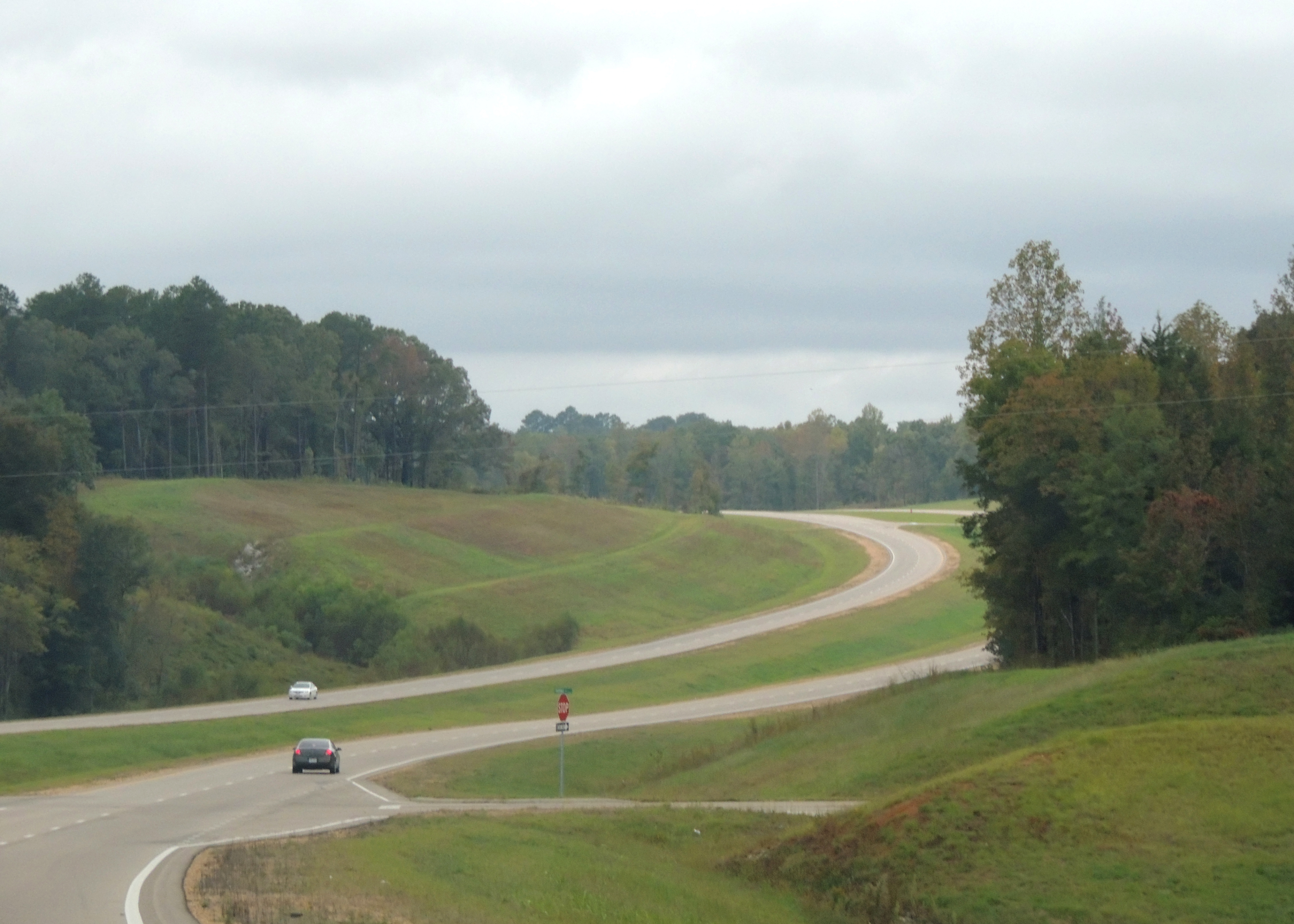
Satellite Map:
Related Photos:

MTNR.3

MTNR.2

New Albany 5

From-the-balcony view
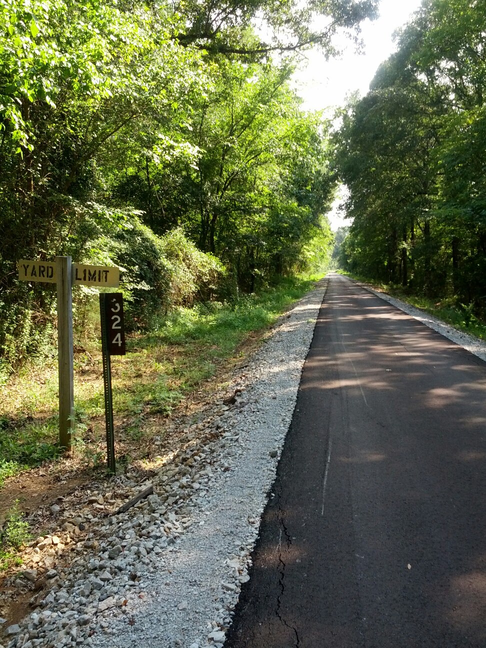
Tanglefoot Trail 1

Day 33-38 005

drive back

Park Along the River
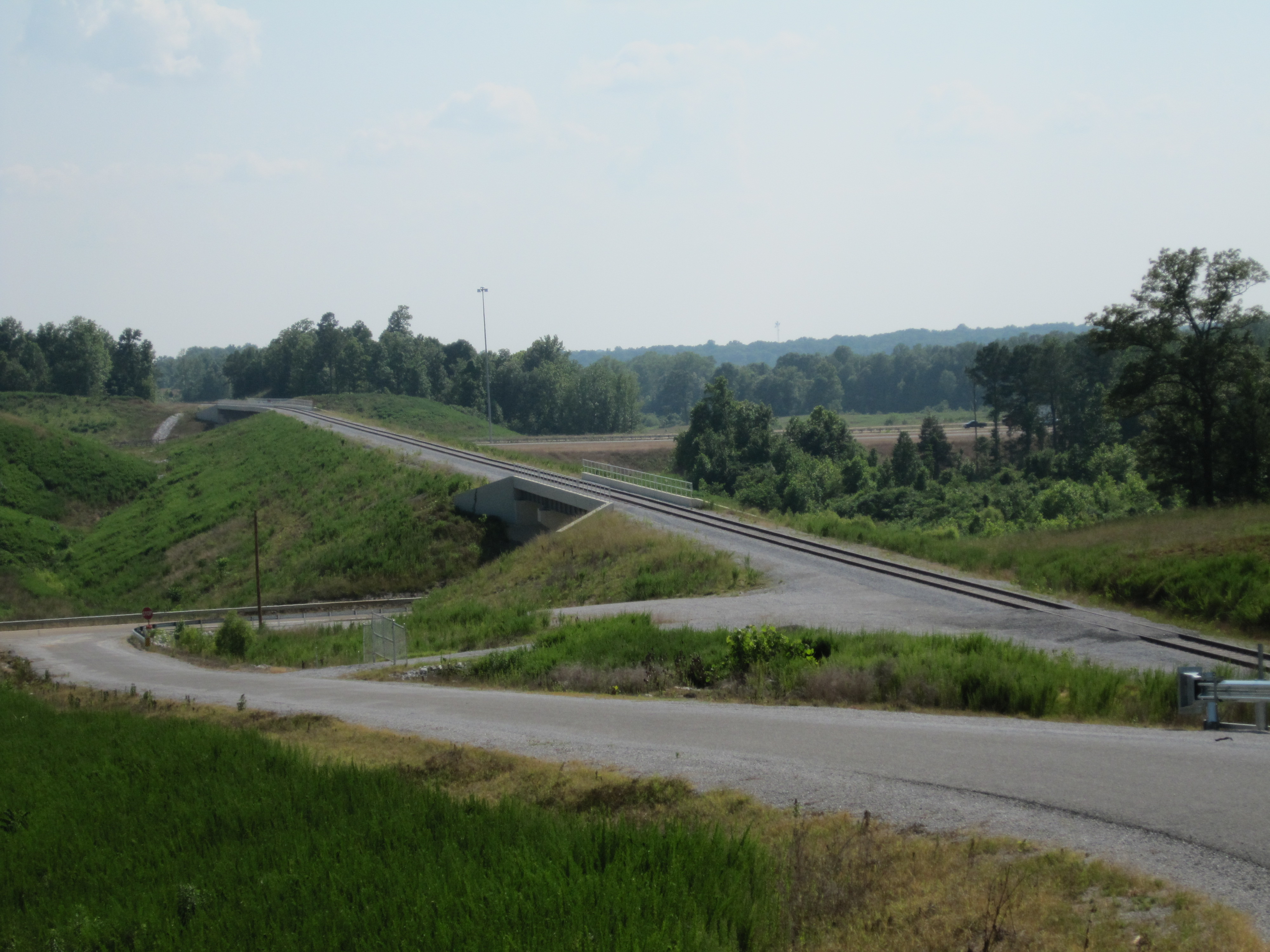
BNSF Toyota Spur 2

drive back
drive back

Day 33-38 006
drive to park
drive back
Topographic Map of Co Rd, New Albany, MS, USA
Find elevation by address:

Places near Co Rd, New Albany, MS, USA:
Ecru
Union County
MS-15, Ecru, MS, USA
New Albany
MS-30, Myrtle, MS, USA
Hickory Dr, New Albany, MS, USA
Ripley Road
999 Ms-30
Possum Trot Trailor Park Rental
MS-30, Myrtle, MS, USA
1405 Co Rd 515
Co Rd, New Albany, MS, USA
176 W Oxford St
Main St, Blue Springs, MS, USA
Blue Springs
Pontotoc
Myrtle
30 Stallings Bend
Pontotoc County
Thaxton
Recent Searches:
- Elevation of Corso Fratelli Cairoli, 35, Macerata MC, Italy
- Elevation of Tallevast Rd, Sarasota, FL, USA
- Elevation of 4th St E, Sonoma, CA, USA
- Elevation of Black Hollow Rd, Pennsdale, PA, USA
- Elevation of Oakland Ave, Williamsport, PA, USA
- Elevation of Pedrógão Grande, Portugal
- Elevation of Klee Dr, Martinsburg, WV, USA
- Elevation of Via Roma, Pieranica CR, Italy
- Elevation of Tavkvetili Mountain, Georgia
- Elevation of Hartfords Bluff Cir, Mt Pleasant, SC, USA