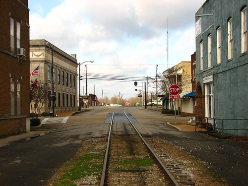
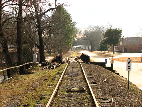
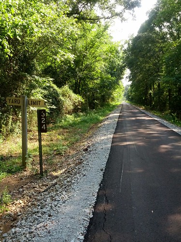
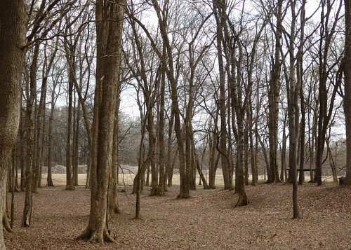
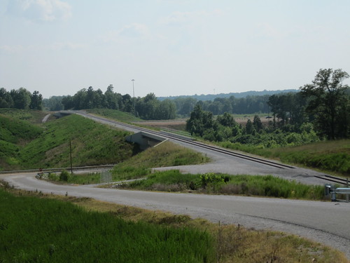
Elevation of Union County, MS, USA
Location: United States > Mississippi >
Longitude: -88.979677
Latitude: 34.459946
Elevation: 155m / 509feet
Barometric Pressure: 99KPa
Related Photos:
Topographic Map of Union County, MS, USA
Find elevation by address:

Places in Union County, MS, USA:
Places near Union County, MS, USA:
999 Ms-30
New Albany
Ripley Road
Co Rd, New Albany, MS, USA
Co Rd, New Albany, MS, USA
Hickory Dr, New Albany, MS, USA
Ecru
Main St, Blue Springs, MS, USA
Blue Springs
MS-30, Myrtle, MS, USA
MS-15, Ecru, MS, USA
1405 Co Rd 515
Myrtle
3rd Ave, Ecru, MS, USA
115 Locust Hill Rd
MS-30, Myrtle, MS, USA
Co Rd, Guntown, MS, USA
MS-9, Blue Springs, MS, USA
30 Stallings Bend
Possum Trot Trailor Park Rental
Recent Searches:
- Elevation of Corso Fratelli Cairoli, 35, Macerata MC, Italy
- Elevation of Tallevast Rd, Sarasota, FL, USA
- Elevation of 4th St E, Sonoma, CA, USA
- Elevation of Black Hollow Rd, Pennsdale, PA, USA
- Elevation of Oakland Ave, Williamsport, PA, USA
- Elevation of Pedrógão Grande, Portugal
- Elevation of Klee Dr, Martinsburg, WV, USA
- Elevation of Via Roma, Pieranica CR, Italy
- Elevation of Tavkvetili Mountain, Georgia
- Elevation of Hartfords Bluff Cir, Mt Pleasant, SC, USA
