Elevation of Co Rd, New Albany, MS, USA
Location: United States > Mississippi > Union County > New Albany >
Longitude: -88.945527
Latitude: 34.5281662
Elevation: 118m / 387feet
Barometric Pressure: 100KPa
Elevation Map:
Satellite Map:
Related Photos:

MTNR.2

New Albany 5

MTNR.3

From-the-balcony view
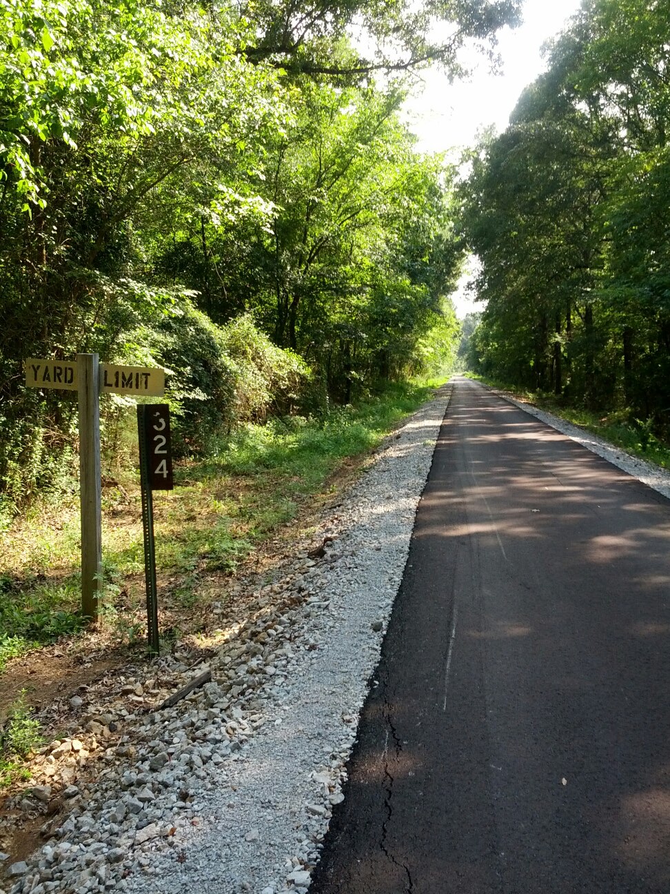
Tanglefoot Trail 1

Day 33-38 005

Setting for a Dali Painting

Park Along the River
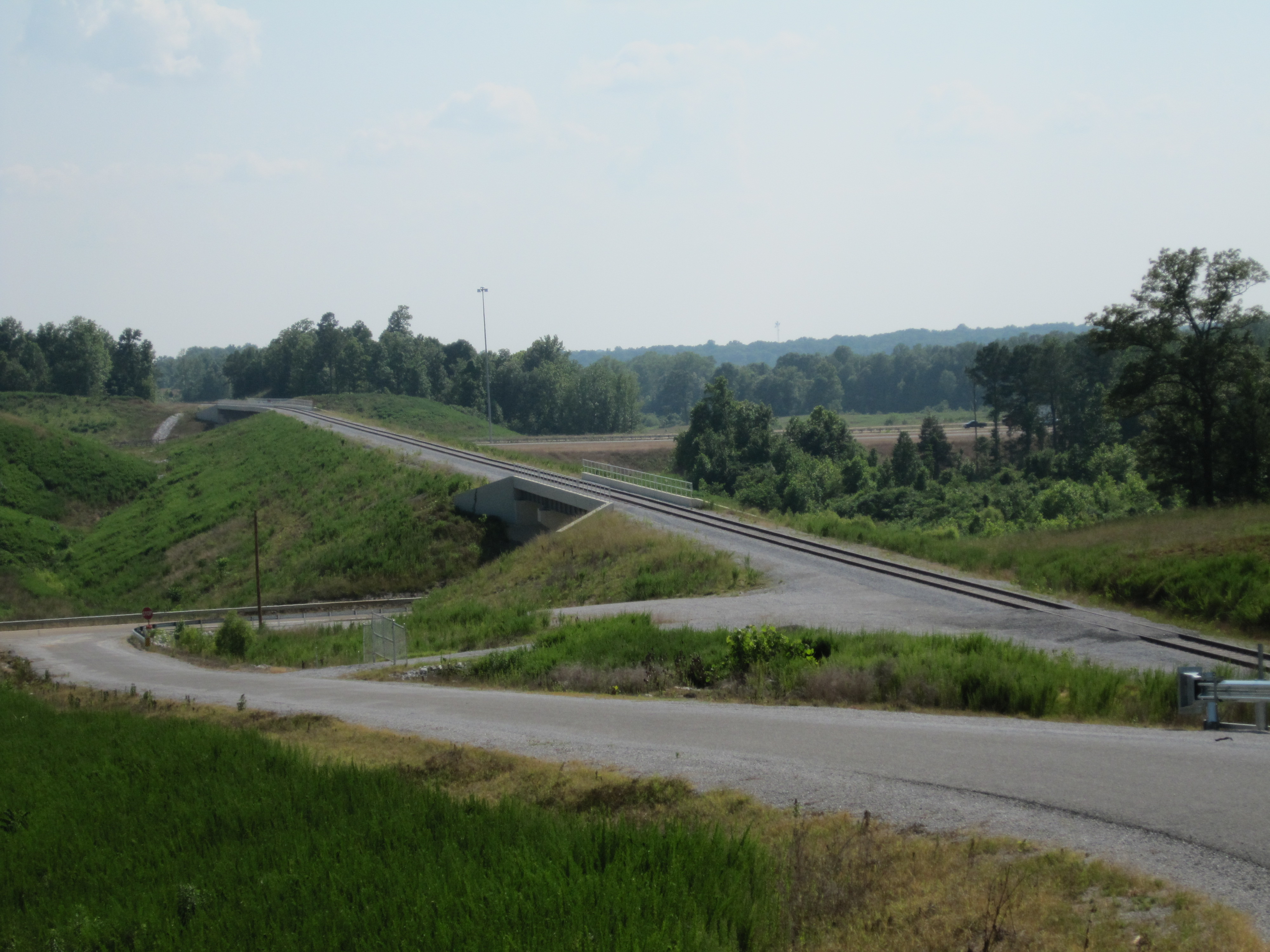
BNSF Toyota Spur 2

Day 33-38 006

Late Spring on the Lake
Topographic Map of Co Rd, New Albany, MS, USA
Find elevation by address:

Places near Co Rd, New Albany, MS, USA:
999 Ms-30
Ripley Road
New Albany
Union County
Hickory Dr, New Albany, MS, USA
Co Rd, New Albany, MS, USA
3880 Co Rd 701
3880 Co Rd 701
Co Rd, Guntown, MS, USA
Main St, Blue Springs, MS, USA
Blue Springs
Co Rd, New Albany, MS, USA
MS-9, Blue Springs, MS, USA
Blue Mountain
Dogwood Ln, Blue Mountain, MS, USA
Myrtle
MS-30, Myrtle, MS, USA
Ecru
628 Co Rd 231
188 Dumas Rd
Recent Searches:
- Elevation of Corso Fratelli Cairoli, 35, Macerata MC, Italy
- Elevation of Tallevast Rd, Sarasota, FL, USA
- Elevation of 4th St E, Sonoma, CA, USA
- Elevation of Black Hollow Rd, Pennsdale, PA, USA
- Elevation of Oakland Ave, Williamsport, PA, USA
- Elevation of Pedrógão Grande, Portugal
- Elevation of Klee Dr, Martinsburg, WV, USA
- Elevation of Via Roma, Pieranica CR, Italy
- Elevation of Tavkvetili Mountain, Georgia
- Elevation of Hartfords Bluff Cir, Mt Pleasant, SC, USA