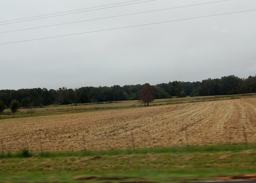
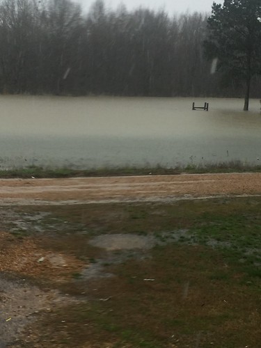
Elevation of Randolph, MS, USA
Location: United States > Mississippi > Pontotoc County >
Longitude: -89.168402
Latitude: 34.1814965
Elevation: 155m / 509feet
Barometric Pressure: 99KPa
Related Photos:
Topographic Map of Randolph, MS, USA
Find elevation by address:

Places near Randolph, MS, USA:
362 Lindsey Loop
MS-, Pontotoc, MS, USA
Cooke Road
4038 Macedonia Rd
4038 Macedonia Rd
4038 Macedonia Rd
4038 Macedonia Rd
4038 Macedonia Rd
4038 Macedonia Rd
Thaxton
4038 Macedonia Rd
4038 Macedonia Rd
4038 Macedonia Rd
4038 Macedonia Rd
Algoma Rd, Pontotoc, MS, USA
Carter Road
Possum Trot Trailor Park Rental
Co Rd, Bruce, MS, USA
525 Co Rd 409
259 Co Rd 123
Recent Searches:
- Elevation of Corso Fratelli Cairoli, 35, Macerata MC, Italy
- Elevation of Tallevast Rd, Sarasota, FL, USA
- Elevation of 4th St E, Sonoma, CA, USA
- Elevation of Black Hollow Rd, Pennsdale, PA, USA
- Elevation of Oakland Ave, Williamsport, PA, USA
- Elevation of Pedrógão Grande, Portugal
- Elevation of Klee Dr, Martinsburg, WV, USA
- Elevation of Via Roma, Pieranica CR, Italy
- Elevation of Tavkvetili Mountain, Georgia
- Elevation of Hartfords Bluff Cir, Mt Pleasant, SC, USA


