Elevation map of Mount Augusta, Mt Augusta, Nevada, USA
Location: United States > Nevada > Fallon >
Longitude: -117.91845
Latitude: 39.5396425
Elevation: 2996m / 9829feet
Barometric Pressure: 70KPa
Elevation Map:
Satellite Map:
Related Photos:
IMG_4310.jpg

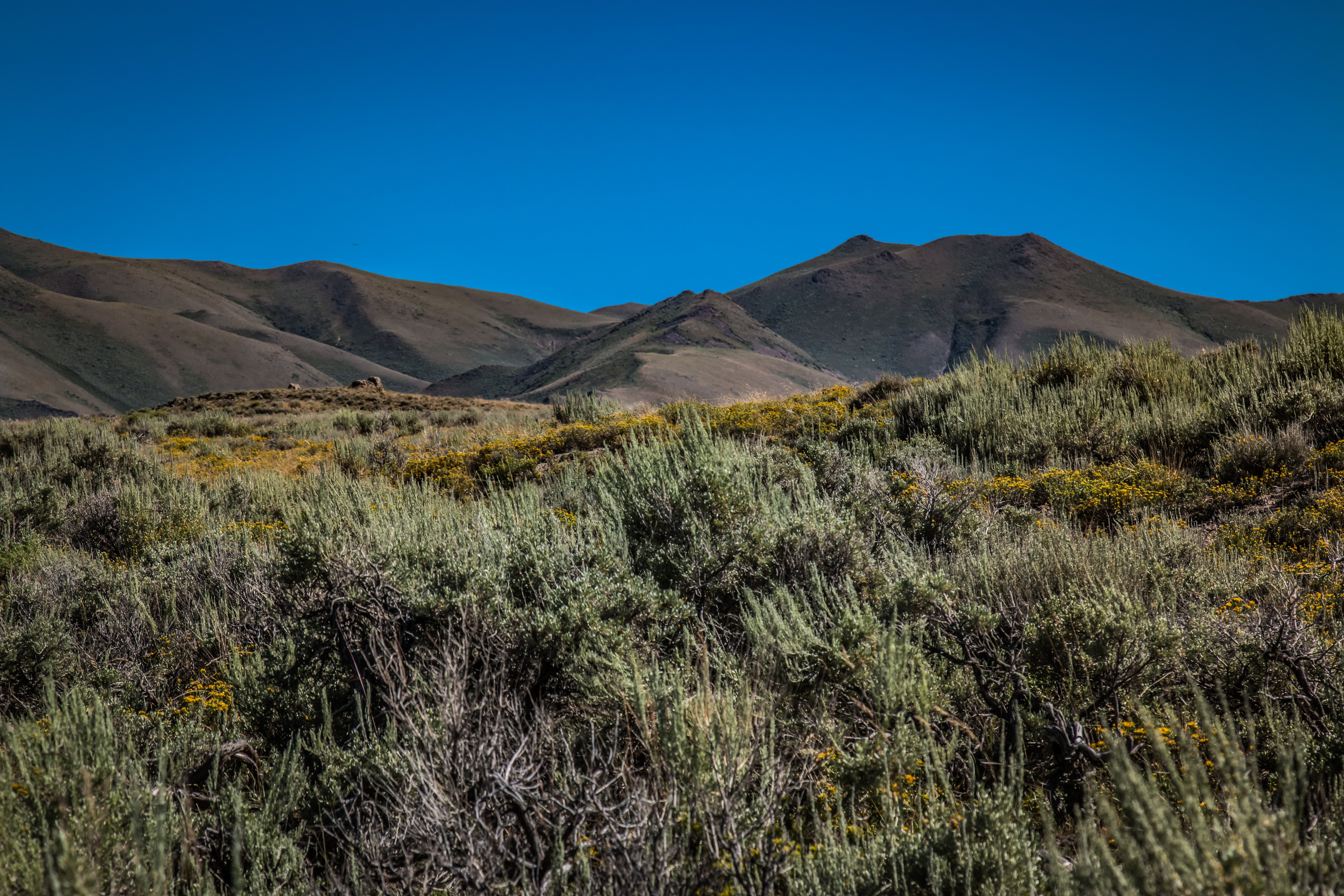
Cold Springs 2

Cold Springs, Nevada
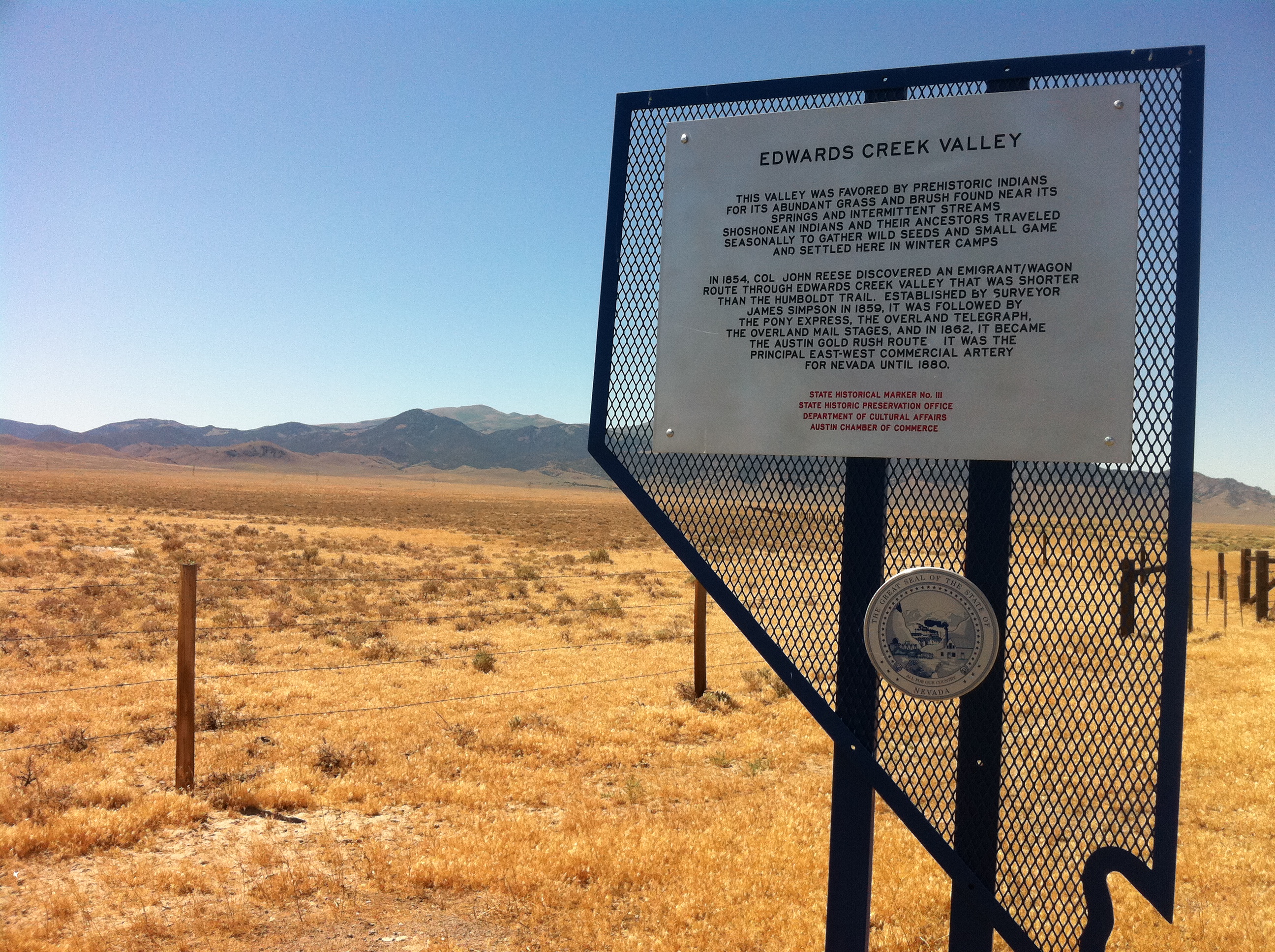
# 111 Edwards Creek Valley
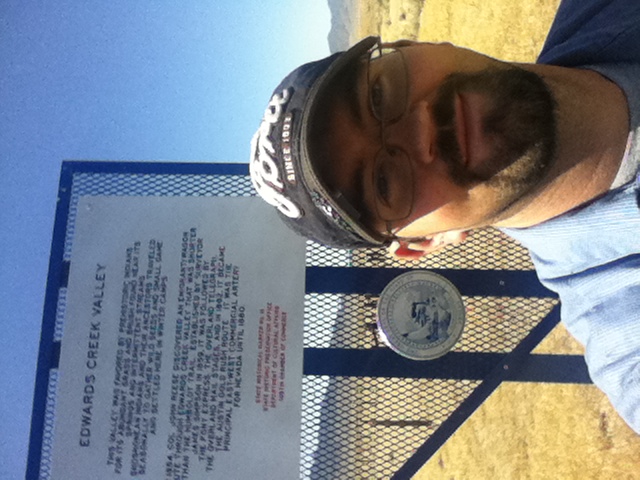
Me and Eddie

Edwards Creek Valley

Autocar for sale, Cold Springs
Topographic Map of Mount Augusta, Mt Augusta, Nevada, USA
Find elevation by address:

Places near Mount Augusta, Mt Augusta, Nevada, USA:
Cold Springs Station
New Pass Peak
Cain Mountain
Granite Mountain
Mount Moses
Austin
Mount Tobin
Mount Callaghan
Lander County
Eagle Butte
China Mountain
Bates Mountain
Mill City
Great Basin
Anthony Road
Battle Mountain, NV, USA
Buffalo Mountain
North Peak
Battle Mountain
Recent Searches:
- Elevation of Corso Fratelli Cairoli, 35, Macerata MC, Italy
- Elevation of Tallevast Rd, Sarasota, FL, USA
- Elevation of 4th St E, Sonoma, CA, USA
- Elevation of Black Hollow Rd, Pennsdale, PA, USA
- Elevation of Oakland Ave, Williamsport, PA, USA
- Elevation of Pedrógão Grande, Portugal
- Elevation of Klee Dr, Martinsburg, WV, USA
- Elevation of Via Roma, Pieranica CR, Italy
- Elevation of Tavkvetili Mountain, Georgia
- Elevation of Hartfords Bluff Cir, Mt Pleasant, SC, USA